Calf House Wood

Wood, Forest in Yorkshire Ribble Valley

England

Calf House Wood

Ordnance Survey Cut Mark This mark can be found on the wall of a roadside barn at Grunsagill.
The benchmark has a recorded height of 175.6426 metres above sea level.
For more detail see : <span class="nowrap"><a title="https://www.bench-marks.org.uk/bm152220" rel="nofollow ugc noopener" href="https://www.bench-marks.org.uk/bm152220">Link</a><img style="margin-left:2px;" alt="External link" title="External link - shift click to open in new window" src="https://s1.geograph.org.uk/img/external.png" width="10" height="10"/></span>
Ordnance Survey Cut Mark Credit: Peter Wood

Calf House Wood is a picturesque woodland located in the county of Yorkshire, England. Situated near the village of Cowling, this woodland covers an area of approximately 100 acres. It is a popular destination for nature enthusiasts, hikers, and wildlife lovers alike.

The wood is primarily composed of native broadleaf trees, including oak, beech, and birch. These trees create a dense canopy, providing a sheltered environment for an array of flora and fauna. The forest floor is adorned with a carpet of bluebells in the spring, which adds to its natural beauty.

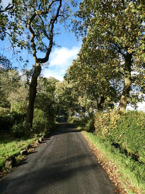
Traversing through Calf House Wood, visitors will find a network of well-maintained footpaths that meander through the forest, allowing for pleasant walks and exploration. These paths offer stunning views of the surrounding countryside, making it a serene and tranquil escape from the bustling city life.

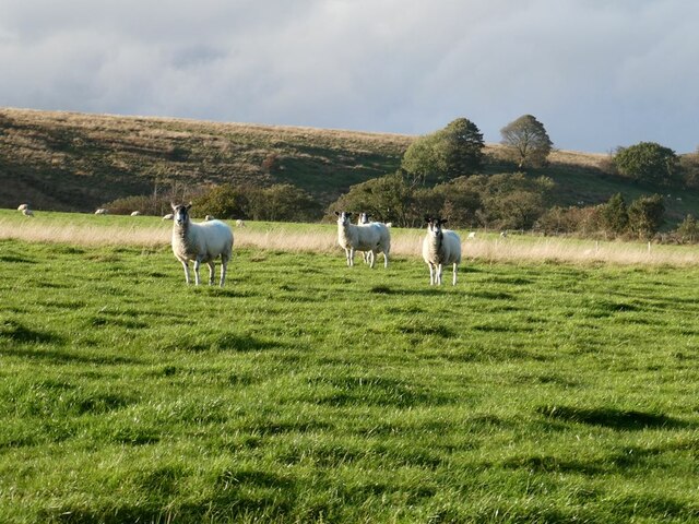
Wildlife thrives within the wood, with sightings of various bird species, including woodpeckers and owls. The woodland is also home to small mammals such as squirrels, hedgehogs, and deer, making it a haven for wildlife enthusiasts and photographers.

Calf House Wood is not only a natural habitat but also a place of historical significance. There are remnants of old stone walls and ruins of former buildings, hinting at its past human occupation and adding an air of mystery to the woodland.

Overall, Calf House Wood is a captivating destination where visitors can immerse themselves in the beauty of nature, appreciate the diverse flora and fauna, and connect with the rich history of the land.

If you have any feedback on the listing, please let us know in the comments section below.

Calf House Wood Images

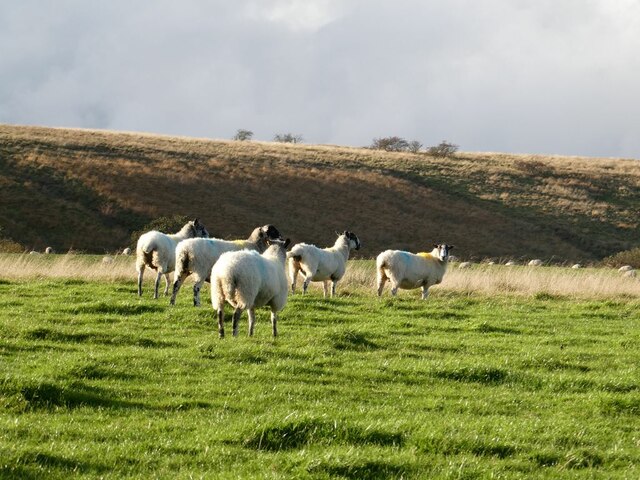
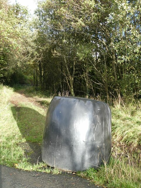
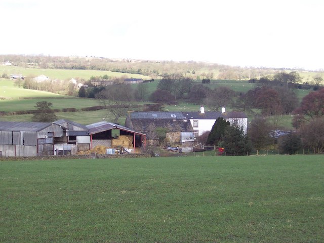
Images are sourced within 2km of 53.965724/-2.3290536 or Grid Reference SD7852. Thanks to Geograph Open Source API. All images are credited.

Ordnance Survey Cut Mark This mark can be found on the wall of a roadside barn at Grunsagill.
The benchmark has a recorded height of 175.6426 metres above sea level.
For more detail see : <span class="nowrap"><a title="https://www.bench-marks.org.uk/bm152220" rel="nofollow ugc noopener" href="https://www.bench-marks.org.uk/bm152220">Link</a><img style="margin-left:2px;" alt="External link" title="External link - shift click to open in new window" src="https://s1.geograph.org.uk/img/external.png" width="10" height="10"/></span>
Ordnance Survey Cut Mark
This mark can be found on the wall of a roadside barn at Grunsagill. The benchmark has a recorded height of 175.6426 metres above sea level. For more detail see : LinkExternal link
Ash tree, cabin and sheep Near Springside Farm on Knotts Lane.
Ash tree, cabin and sheep
Near Springside Farm on Knotts Lane.
Knotts Lane near Varley's Farm A very minor road running up the west side of the valley of Holden Beck.
Knotts Lane near Varley's Farm
A very minor road running up the west side of the valley of Holden Beck.
Broad Ing Farm Commanding an extensive view over the valley of the Holden Beck.
Broad Ing Farm
Commanding an extensive view over the valley of the Holden Beck.
Sheep in field beside Knotts Lane Near Witton's Farm
Sheep in field beside Knotts Lane
Near Witton's Farm
View south from Knotts Lane Pendle Hill <a href="https://www.geograph.org.uk/gridref/SD7754">SD7754</a> dominates the skyline.
View south from Knotts Lane
Pendle Hill SD7754 dominates the skyline.
Knotts Lane Sunny intervals and black clouds looming.
Knotts Lane
Sunny intervals and black clouds looming.
Field beside Knotts Lane On the lower slopes of Knotts Hill.
Field beside Knotts Lane
On the lower slopes of Knotts Hill.
Wary sheep In a field beside Knotts Lane.
Wary sheep
In a field beside Knotts Lane.
A very effective road block A hay bale has been strategically placed across the top of this footpath to Wittons Farm to prevent access by motor vehicles.
A very effective road block
A hay bale has been strategically placed across the top of this footpath to Wittons Farm to prevent access by motor vehicles.
Bin day At the head of the drive to Little Holme Farm and Big Holme Farm on Knotts Lane.
Bin day
At the head of the drive to Little Holme Farm and Big Holme Farm on Knotts Lane.
Wittons Farm Wittons Farm below the field. Ray Head Farm beyond and to the left.
Wittons Farm
Wittons Farm below the field. Ray Head Farm beyond and to the left.
View from Knotts Lane Looking across the broad valley of the Holden Beck.
View from Knotts Lane
Looking across the broad valley of the Holden Beck.
Trees beside Knotts Lane
Highland cow Boococks Farm in the background.
Highland cow
Boococks Farm in the background.
Highland cattle near Boococks Farm
New Laithe Looking West towards New Laithe
New Laithe
Looking West towards New Laithe
Green Ford Farm Taken from the fields to the east of the farm, with Cuddy Syke behind the buildings
Green Ford Farm
Taken from the fields to the east of the farm, with Cuddy Syke behind the buildings
Show me another place!

Calf House Wood is located at Grid Ref: SD7852 (Lat: 53.965724, Lng: -2.3290536)

Division: West Riding

Administrative County: Lancashire

District: Ribble Valley

Police Authority: Lancashire

What 3 Words

///furniture.widest.interest. Near Hellifield, North Yorkshire

Related Wikis

Nearby Amenities

Located within 500m of 53.965724,-2.3290536
Turn Greece Wood
Natural: woodland
Source: OS OpenData StreetView
Lat/Long: 53.9670799/-2.3274695
Place: farm
Lat/Long: 53.9663402/-2.3343741
Power: pole
Lat/Long: 53.9615932/-2.3271757
Power: pole
Lat/Long: 53.9622386/-2.3266943
Power: pole
Lat/Long: 53.963067/-2.3260599
Power: pole
Lat/Long: 53.9638954/-2.3254269
Power: pole
Lat/Long: 53.9647317/-2.3248127
Power: pole
Lat/Long: 53.9655475/-2.324177
Power: pole
Lat/Long: 53.9663696/-2.3235628
Power: pole
Lat/Long: 53.9694857/-2.3259178
Power: pole
Lat/Long: 53.9695961/-2.3268646
Power: pole
Lat/Long: 53.967209/-2.3229218
The data included in this document is from www.openstreetmap.org. The data is made available under ODbL.

Have you been to Calf House Wood?

Leave your review of Calf House Wood below (or comments, questions and feedback).