Madeley Park Wood
Wood, Forest in Staffordshire Newcastle-under-Lyme
England
Madeley Park Wood
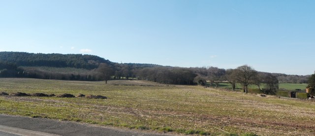
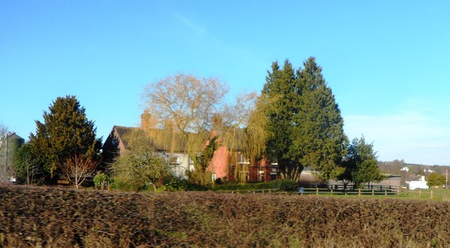
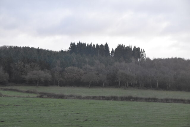
Madeley Park Wood is a beautiful woodland located in the county of Staffordshire, England. Covering an area of approximately 50 acres, it is a cherished natural gem that offers visitors a tranquil escape from the hustle and bustle of everyday life.
The wood features a diverse range of tree species, including oak, birch, ash, and beech, creating a rich and varied ecosystem. The dense canopy provides a haven for an array of wildlife, making it a popular spot for nature enthusiasts and birdwatchers. Visitors may catch a glimpse of woodpeckers, owls, and various songbirds, as well as small mammals like squirrels and hedgehogs.
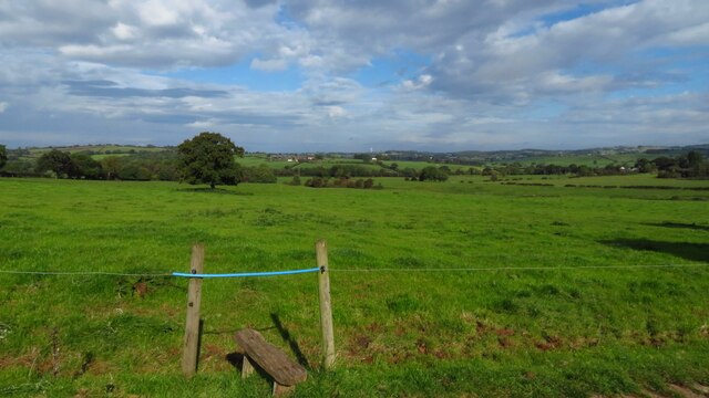
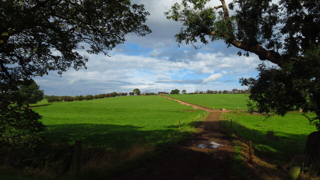
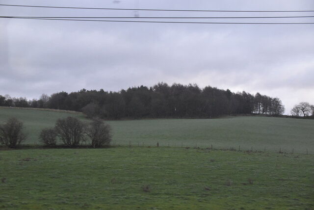
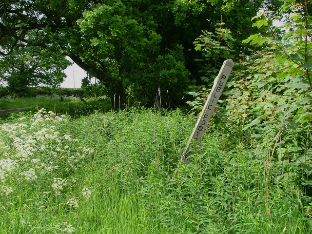
Walking trails wind their way through the wood, allowing visitors to explore its enchanting beauty at their own pace. The paths are well-maintained and clearly marked, making it accessible for people of all ages and abilities. These trails offer stunning views of the surrounding countryside and provide an opportunity to immerse oneself in the peaceful ambiance of the woodland.
Madeley Park Wood is also known for its historical significance. It is believed to have been a part of the ancient Forest of the Wrekin, which once covered a vast area of the region. Some remnants of this ancient forest can still be seen within the wood, adding to its charm and allure.
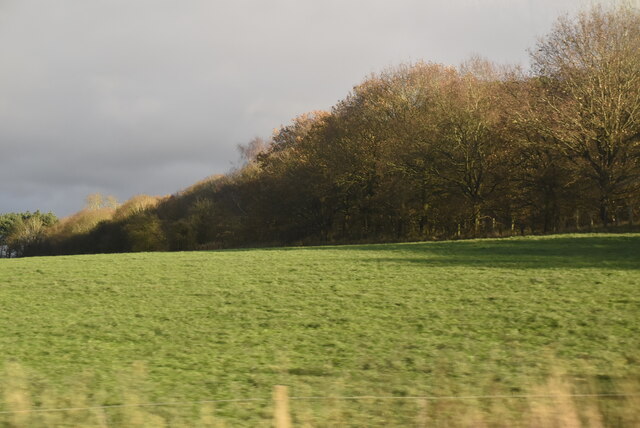
Overall, Madeley Park Wood is a hidden gem in Staffordshire, offering visitors a chance to connect with nature, discover the region's history, and find solace in its serene surroundings.
If you have any feedback on the listing, please let us know in the comments section below.
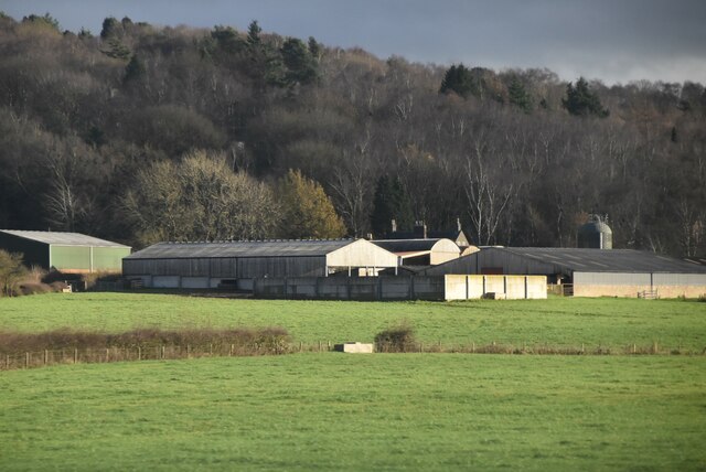
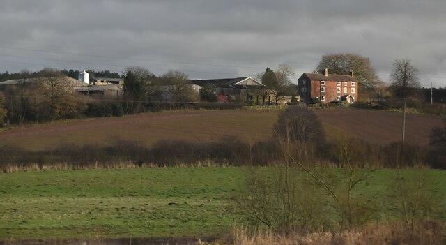
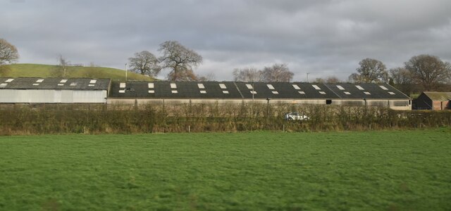
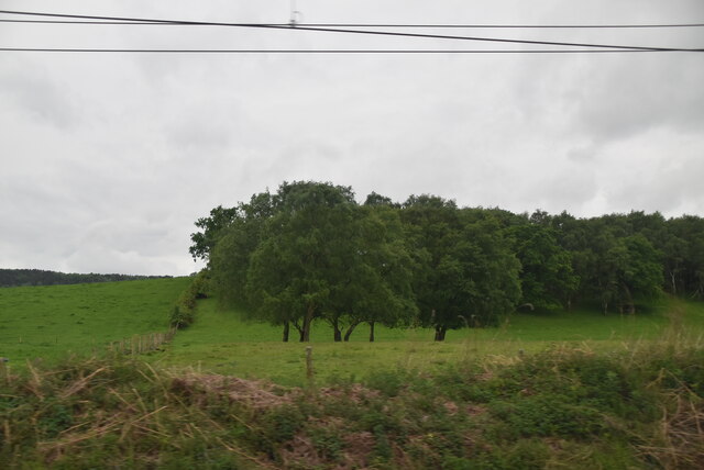
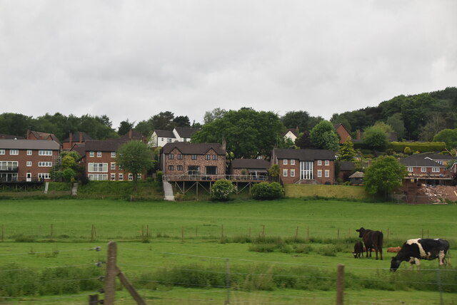
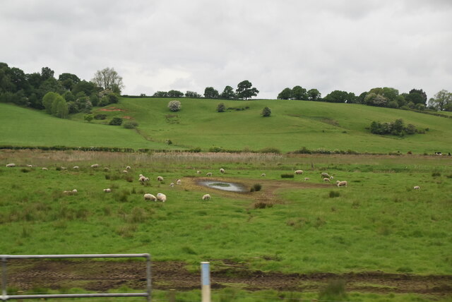
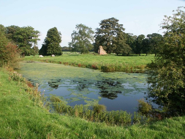
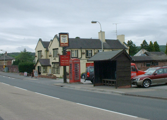
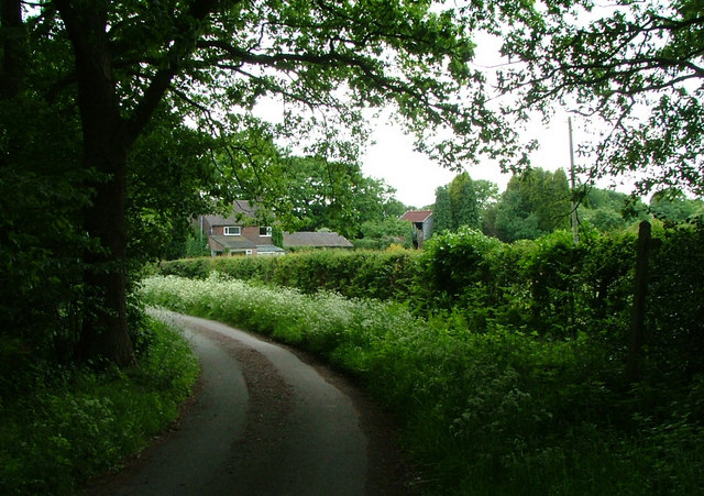
Madeley Park Wood Images
Images are sourced within 2km of 52.968484/-2.3229879 or Grid Reference SJ7841. Thanks to Geograph Open Source API. All images are credited.
Madeley Park Wood is located at Grid Ref: SJ7841 (Lat: 52.968484, Lng: -2.3229879)
Administrative County: Staffordshire
District: Newcastle-under-Lyme
Police Authority: Staffordshire
What 3 Words
///bring.myself.worms. Near Madeley, Staffordshire
Nearby Locations
Related Wikis

Madeley Road railway station
Madeley Road railway station is a disused railway station in Staffordshire, England. The Stoke to Market Drayton Line was opened by the North Staffordshire...
Whitmore railway station
Whitmore was a station serving the village of Whitmore, Staffordshire. == History == The station opened onto the Grand Junction Railway in 1837: 41 when...
Baldwin's Gate
Baldwin's Gate is a village in the Borough of Newcastle-under-Lyme in Staffordshire. The population details for the 2011 census can be found under Whitmore...
Newcastle-under-Lyme Rural District
Newcastle-under-Lyme Rural District was a rural district in the county of Staffordshire. It was formed in 1894 with the civil parishes of Ashley, Audley...
Berth Hill
Berth Hill is an Iron Age hillfort in Staffordshire, England, about 5 miles (8.0 km) south-west of Newcastle-under-Lyme, and near the village of Maer....
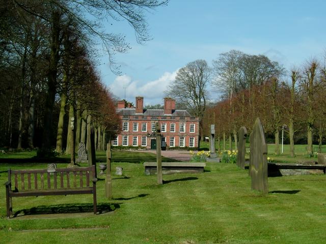
Whitmore Hall
Whitmore Hall is the home of the Cavenagh-Mainwaring family at Whitmore, Staffordshire. A Grade I listed building, the hall was designated a house of...
Whitmore, Staffordshire
Whitmore is a village and small curacy in the county of Staffordshire, England, near Newcastle-under-Lyme. The name Whitmore can be found in the Domesday...
Madeley railway station (Staffordshire)
Madeley railway station is a disused railway station in Staffordshire, England. The station was opened by the Grand Junction Railway in 1837.: 43 It...
Nearby Amenities
Located within 500m of 52.968484,-2.3229879Have you been to Madeley Park Wood?
Leave your review of Madeley Park Wood below (or comments, questions and feedback).