Madeley Park
Settlement in Staffordshire Newcastle-under-Lyme
England
Madeley Park
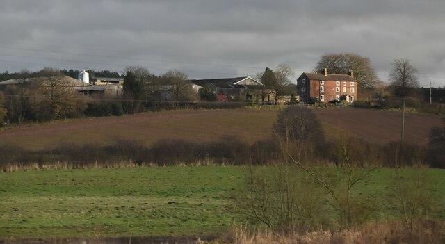
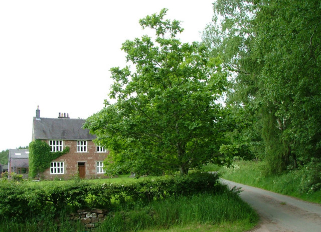
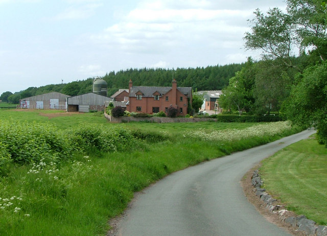
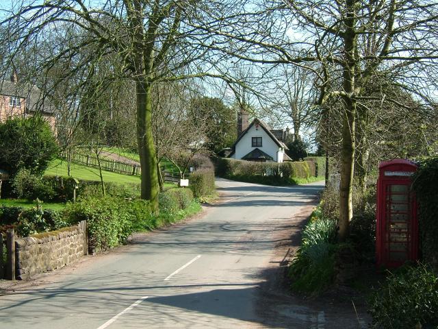
Madeley Park is a picturesque village located in the county of Staffordshire in England. Nestled in the heart of the beautiful countryside, the village offers a tranquil and idyllic setting for residents and visitors alike.
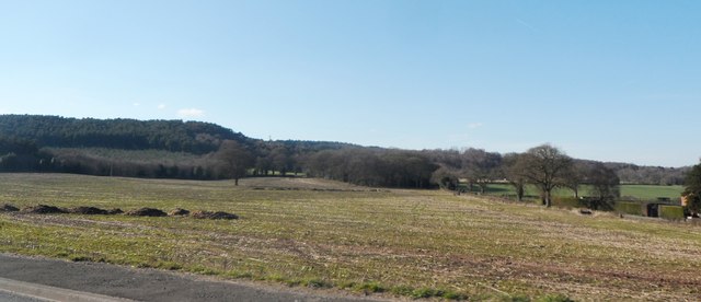
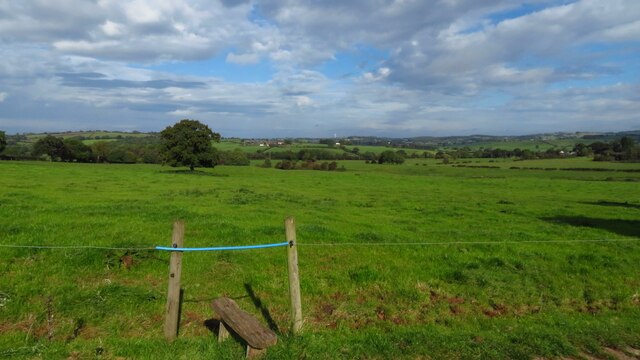
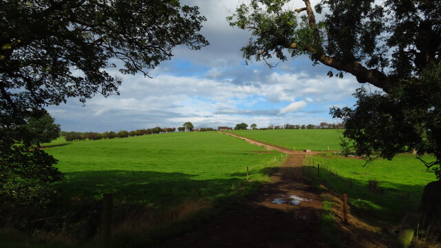
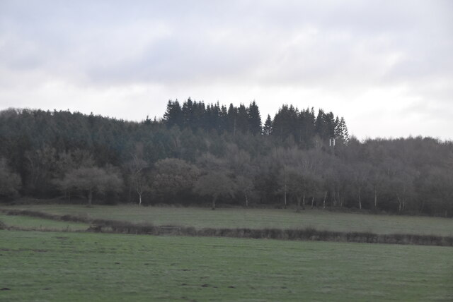
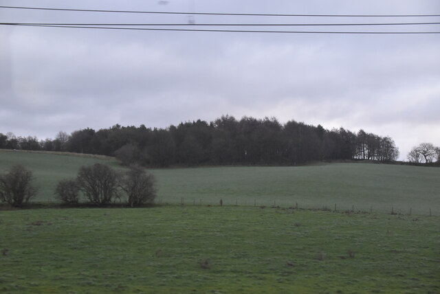
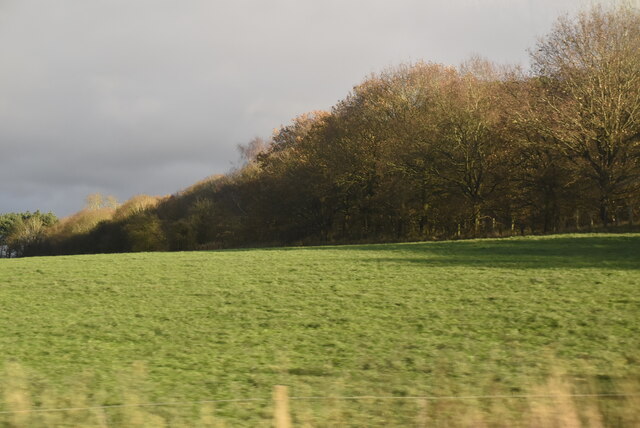
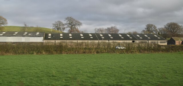
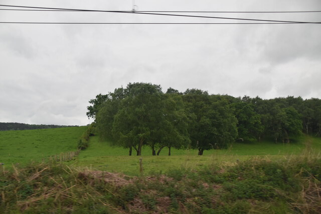
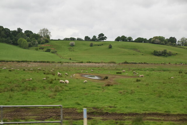
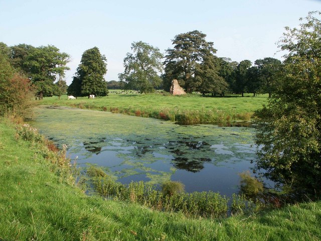
One of the standout features of Madeley Park is its stunning natural surroundings. The village is surrounded by lush green fields, rolling hills, and charming woodlands, making it a haven for nature enthusiasts and those seeking a peaceful retreat. The nearby Madeley Court Nature Reserve provides ample opportunities for walking, hiking, and wildlife spotting.
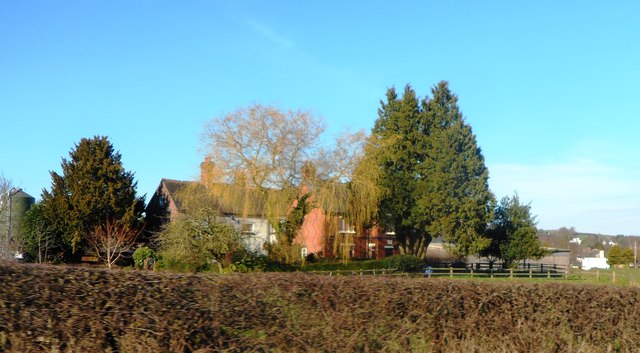
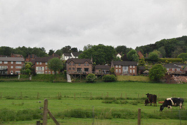
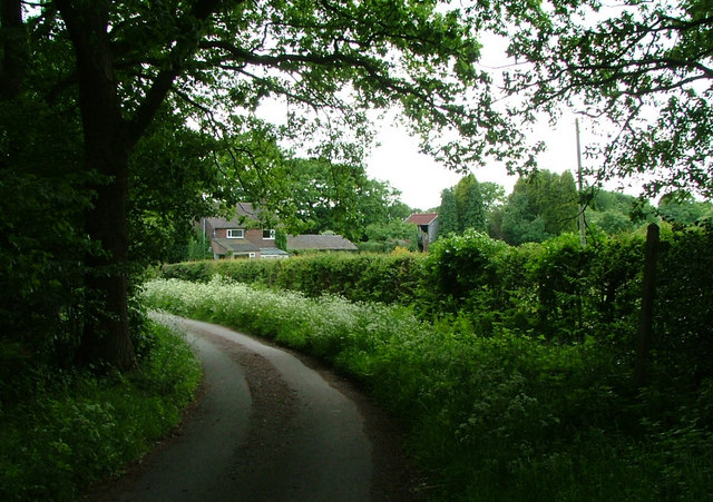
The village itself exudes a sense of traditional English charm, with its quaint cottages, well-manicured gardens, and historic buildings. The Grade I listed St. Michael's Church is a prominent landmark in Madeley Park, dating back to the 13th century and featuring stunning architectural details.
Despite its rural setting, Madeley Park is well-connected to neighboring towns and cities. The village benefits from good transport links, with easy access to major roads and nearby railway stations. This allows residents to enjoy the tranquility of village life while still being within reach of urban amenities.
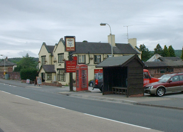
Madeley Park also boasts a close-knit community, with a range of local amenities and services. The village has a primary school, a village hall, and a few local shops and pubs, providing residents with all the essentials close to home.
Overall, Madeley Park offers a beautiful and peaceful place to live or visit, with its stunning natural surroundings, historic charm, and strong sense of community.
If you have any feedback on the listing, please let us know in the comments section below.
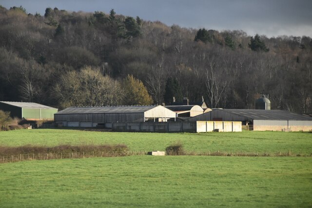
Madeley Park Images
Images are sourced within 2km of 52.968782/-2.3258638 or Grid Reference SJ7841. Thanks to Geograph Open Source API. All images are credited.
Madeley Park is located at Grid Ref: SJ7841 (Lat: 52.968782, Lng: -2.3258638)
Administrative County: Staffordshire
District: Newcastle-under-Lyme
Police Authority: Staffordshire
What 3 Words
///lunching.brimmed.shelters. Near Madeley, Staffordshire
Nearby Locations
Related Wikis

Madeley Road railway station
Madeley Road railway station is a disused railway station in Staffordshire, England. The Stoke to Market Drayton Line was opened by the North Staffordshire...
Newcastle-under-Lyme Rural District
Newcastle-under-Lyme Rural District was a rural district in the county of Staffordshire. It was formed in 1894 with the civil parishes of Ashley, Audley...
Whitmore railway station
Whitmore was a station serving the village of Whitmore, Staffordshire. == History == The station opened onto the Grand Junction Railway in 1837: 41 when...
Baldwin's Gate
Baldwin's Gate is a village in the Borough of Newcastle-under-Lyme in Staffordshire. The population details for the 2011 census can be found under Whitmore...
Berth Hill
Berth Hill is an Iron Age hillfort in Staffordshire, England, about 5 miles (8.0 km) south-west of Newcastle-under-Lyme, and near the village of Maer....
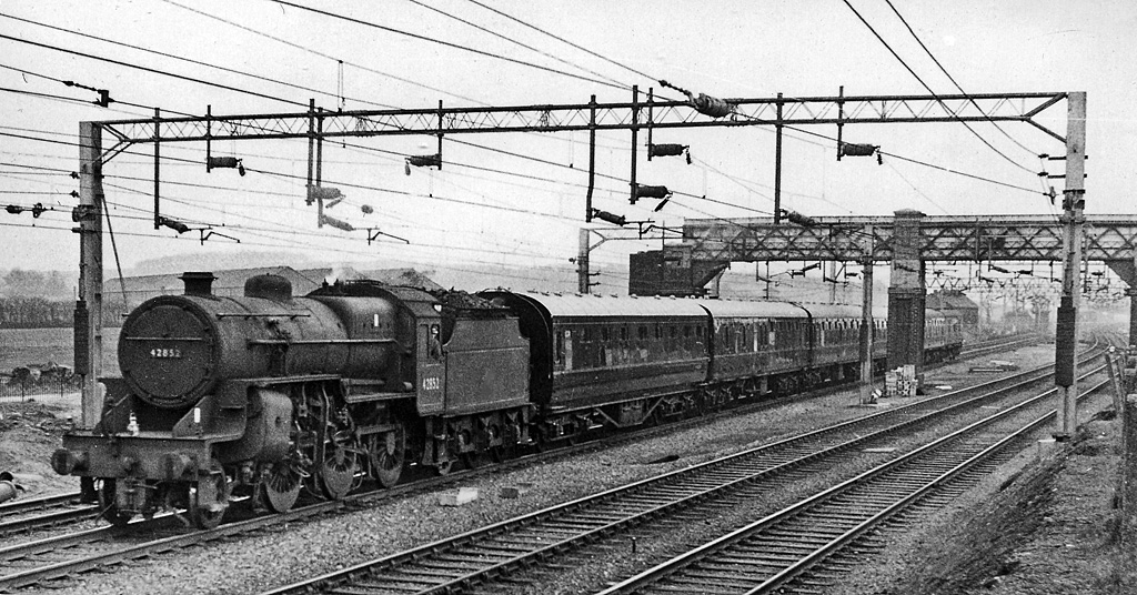
Madeley railway station (Staffordshire)
Madeley railway station is a disused railway station in Staffordshire, England. The station was opened by the Grand Junction Railway in 1837.: 43 It...
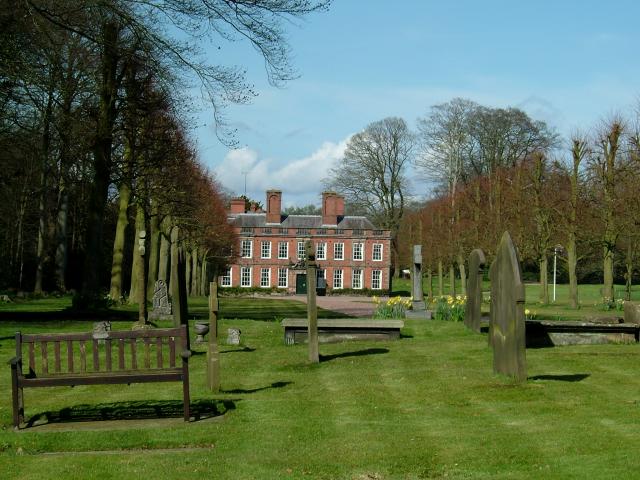
Whitmore Hall
Whitmore Hall is the home of the Cavenagh-Mainwaring family at Whitmore, Staffordshire. A Grade I listed building, the hall was designated a house of...
Whitmore, Staffordshire
Whitmore is a village and small curacy in the county of Staffordshire, England, near Newcastle-under-Lyme. The name Whitmore can be found in the Domesday...
Nearby Amenities
Located within 500m of 52.968782,-2.3258638Have you been to Madeley Park?
Leave your review of Madeley Park below (or comments, questions and feedback).