Birchend Coppice

Wood, Forest in Worcestershire Malvern Hills

England

Birchend Coppice

Country scene north of The Coppice Leisure Park
Country scene north of The Coppice Leisure Park Credit: Alex McGregor

Birchend Coppice is a picturesque woodland area located in Worcestershire, England. Covering an expansive area of approximately 100 acres, this beautiful forest is a popular destination for nature enthusiasts and outdoor adventurers alike.

The woodland gets its name from the abundance of birch trees that dominate the landscape, creating a stunning and tranquil environment. These tall and elegant trees provide a dense canopy, allowing only shards of sunlight to peek through, casting ethereal shadows on the forest floor.

Birchend Coppice is home to a diverse range of flora and fauna, making it an ideal spot for wildlife observation and nature photography. Visitors may be lucky enough to spot various species of birds, such as woodpeckers, thrushes, and owls, as well as small mammals like squirrels and foxes. The forest floor is adorned with an array of wildflowers during the spring and summer months, offering a vibrant and colorful atmosphere.

The woodland offers several walking trails, allowing visitors to explore and appreciate the natural beauty at their own pace. These well-maintained paths wind through the forest, providing opportunities to discover hidden clearings, babbling brooks, and secluded picnic spots. The tranquility of Birchend Coppice makes it a perfect location for a peaceful and rejuvenating escape from the hustle and bustle of everyday life.

Overall, Birchend Coppice in Worcestershire is a captivating woodland that offers a serene and enchanting experience for nature lovers. Its lush greenery, diverse wildlife, and peaceful ambiance make it a must-visit destination for those seeking a connection with the natural world.

If you have any feedback on the listing, please let us know in the comments section below.

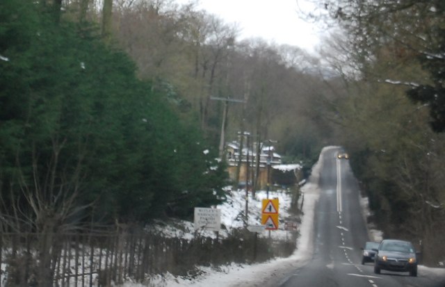
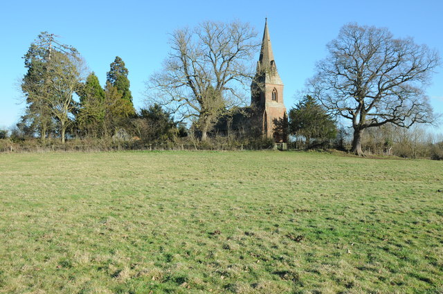
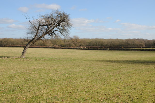
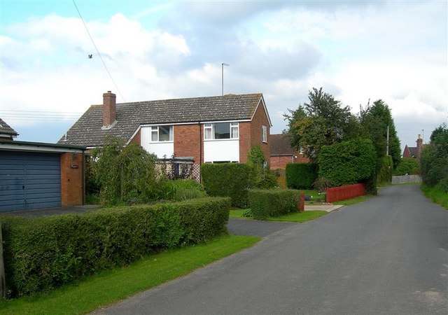
Birchend Coppice Images

Images are sourced within 2km of 52.256775/-2.3181696 or Grid Reference SO7862. Thanks to Geograph Open Source API. All images are credited.

Country scene north of The Coppice Leisure Park
Entering Little Witley (A4133)
A4133, Little Witley
A4133 entering Little Whitley Westbound
A4133 entering Little Whitley
Westbound
Road junction at Little Witley opposite The Lodge
St Michael’s Church, Little Witley Although there has been a church from the 13th Century, the present building dates from 1867 when it was re-built in the ‘Early English’ style by Abraham Edward Perkins, Worcester’s church architect. The new nave walls were built on the lower red sandstone courses of the old church but the footprint was extended with the addition of an apsidal east end and vestry.
St Michael’s Church, Little Witley
Although there has been a church from the 13th Century, the present building dates from 1867 when it was re-built in the ‘Early English’ style by Abraham Edward Perkins, Worcester’s church architect. The new nave walls were built on the lower red sandstone courses of the old church but the footprint was extended with the addition of an apsidal east end and vestry.
Wichenford church Wichenford church viewed from a footpath to the north-west.  The church which is dedicated to St Lawrence is described by Pevsner thus, 'The general impression is Victorian, but there are a few Norman fragments...'.
Wichenford church
Wichenford church viewed from a footpath to the north-west. The church which is dedicated to St Lawrence is described by Pevsner thus, 'The general impression is Victorian, but there are a few Norman fragments...'.
Wichenford church The church which is dedicated to St Lawrence is described by Pevsner thus, 'The general impression is Victorian, but there are a few Norman fragments...'.
Wichenford church
The church which is dedicated to St Lawrence is described by Pevsner thus, 'The general impression is Victorian, but there are a few Norman fragments...'.
Entering Wichenford Thirty MPH speed limit signs at Wichenford.
Entering Wichenford
Thirty MPH speed limit signs at Wichenford.
Wichenford Road through the village of Wichenford.
Wichenford
Road through the village of Wichenford.
Tree with a lean A tree with a 45 degree lean beside a footpath to the north-east of Wichenford.
Tree with a lean
A tree with a 45 degree lean beside a footpath to the north-east of Wichenford.
Orchards at Woodhouse Farm Cider apple trees in an orchard at Woodhouse farm near Wichenford.
Orchards at Woodhouse Farm
Cider apple trees in an orchard at Woodhouse farm near Wichenford.
Apple orchard Cider apple trees in an orchard at Woodhouse Farm near Wichenford.
Apple orchard
Cider apple trees in an orchard at Woodhouse Farm near Wichenford.
Oak tree Oak tree near Woodhouse Farm, Wichenford.
Oak tree
Oak tree near Woodhouse Farm, Wichenford.
Carved graffiti, Wichenford church Graffiti etched into the soft sandstone of Wichenford church.
Carved graffiti, Wichenford church
Graffiti etched into the soft sandstone of Wichenford church.
Wichenford Memorial Hall
Road to King's Green Road to King's Green near Wichenford.
Road to King's Green
Road to King's Green near Wichenford.
Show me another place!

Birchend Coppice is located at Grid Ref: SO7862 (Lat: 52.256775, Lng: -2.3181696)

Administrative County: Worcestershire

District: Malvern Hills

Police Authority: West Mercia

What 3 Words

///appointed.prettiest.fuse. Near Lower Broadheath, Worcestershire

Nearby Locations

Birchend Coppice Ockeridge

Related Wikis

Wichenford

Wichenford is a village and civil parish (with Kenswick) in the Malvern Hills District in the county of Worcestershire, England. It lies 7 miles (11km...

Little Witley

Little Witley is a village and civil parish in the Malvern Hills District in the county of Worcestershire, England. == History == === Pre-history === There...

Sankyns Green

Sankyns Green is a hamlet within the civil parish of Shrawley in Worcestershire, England.
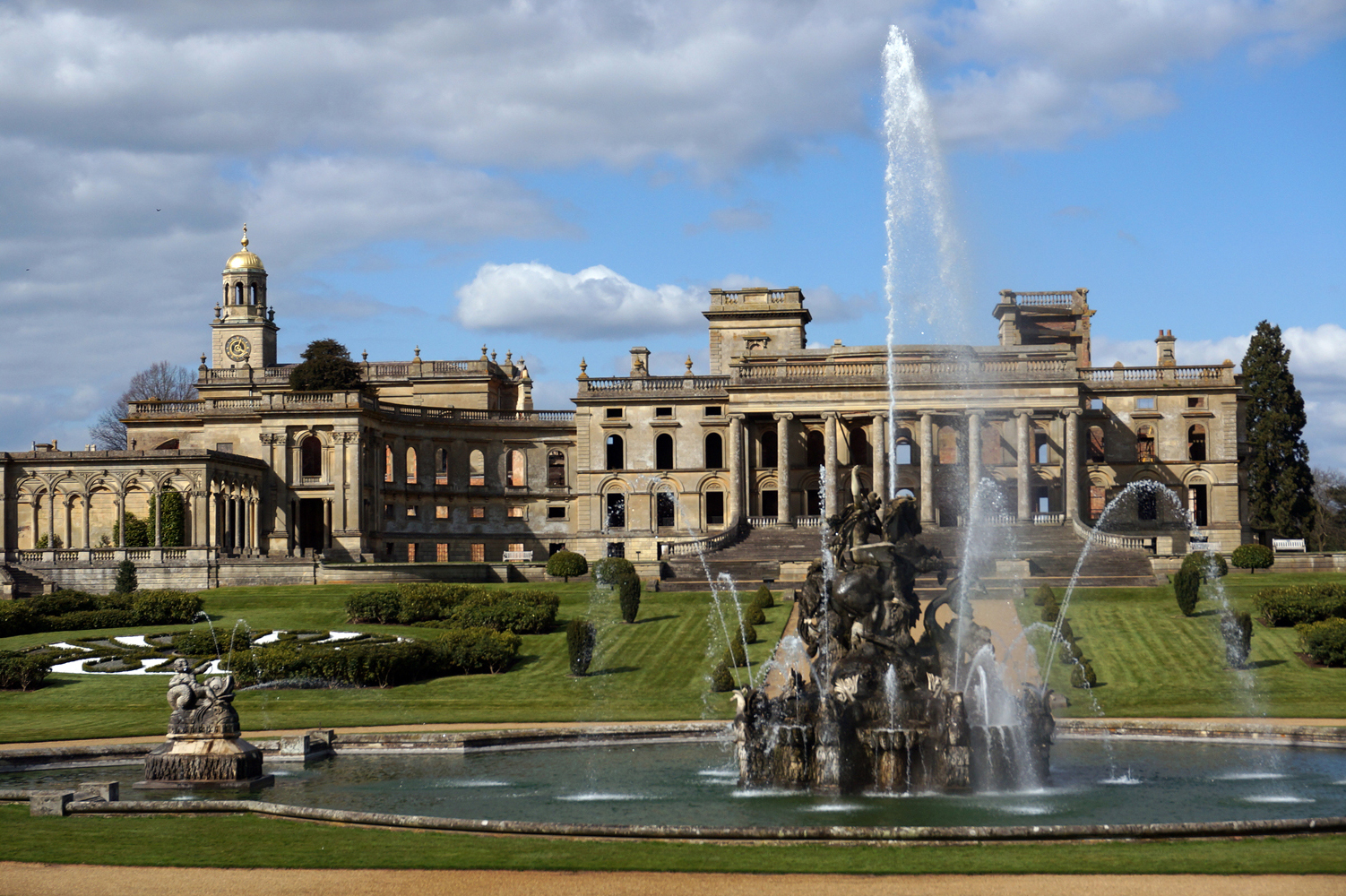
Witley Court

Witley Court, in Great Witley, Worcestershire, England, is a ruined Italianate mansion. Built for the Foleys in the seventeenth century on the site of...

Holt Heath, Worcestershire

Holt Heath, in the parish of Holt, is a village near the west bank of the River Severn in Worcestershire. The nearest towns are all about 6 miles away...

The Chantry School

The Chantry School is a mixed gender secondary school with academy status located in Martley, Worcestershire, England. The school has about 700 students...

Shrawley

Shrawley is a village and civil parish in the Malvern Hills District in the county of Worcestershire, England. The village is situated on the western bank...

Great Witley

Great Witley is a village and civil parish in the Malvern Hills District in the northwest of the county of Worcestershire, England. It is situated around...

Nearby Amenities

Located within 500m of 52.256775,-2.3181696
Telephone Box
Naptan AtcoCode: 2000G051400
Naptan Bearing: NE
Naptan BusStopType: CUS
Naptan CommonName: Telephone Box
Naptan Crossing: Hockham's Lane
Naptan Indicator: Adj
Naptan Landmark: Keepers Cottage
Naptan NaptanCode: wocgjtjm
Naptan Street: Birchend Coppice Road
Naptan Verified: no
Source: naptan_import
Lat/Long: 52.2577426/-2.3181278
The Coppice
Power: pole
Transformer: distribution
Voltage Primary: 11000
Lat/Long: 52.2575885/-2.3113897
Location Transition: yes
Power: pole
Lat/Long: 52.2573517/-2.313582
Power: pole
Lat/Long: 52.2574672/-2.3125402
Post Box
Collection Times: Mo-Fr 15:00; Sa 09:30
Post Box Type: lamp
Ref: WR6 439
Royal Cypher: EIIR
Royal Cypher Wikidata: Q33102113
Lat/Long: 52.2580727/-2.3172843
Power: pole
Lat/Long: 52.257601/-2.3212306
Power: pole
Lat/Long: 52.2551702/-2.3118885
Power: pole
Lat/Long: 52.2554772/-2.3130345
Power: pole
Transformer: distribution
Voltage Primary: 11000
Lat/Long: 52.2559501/-2.3131759
Ockeridge Cross
Location Transition: yes
Power: pole
Transformer: distribution
Voltage Primary: 11000
Lat/Long: 52.2577274/-2.3170491
Power: pole
Lat/Long: 52.2577233/-2.3173065
Hatfield Cottage
Power: pole
Transformer: distribution
Voltage Primary: 11000
Lat/Long: 52.2585417/-2.3185149
Power: pole
Lat/Long: 52.2580894/-2.3183794
Ockeridge Waste
Power: pole
Transformer: distribution
Voltage Primary: 11000
Lat/Long: 52.2576904/-2.3182695
Power: pole
Lat/Long: 52.2576461/-2.319738
Power: pole
Lat/Long: 52.2575747/-2.3220514
Power: pole
Lat/Long: 52.2572361/-2.3234287
Power: pole
Lat/Long: 52.2569344/-2.3246826
The data included in this document is from www.openstreetmap.org. The data is made available under ODbL.

Have you been to Birchend Coppice?

Leave your review of Birchend Coppice below (or comments, questions and feedback).