Craigend
Settlement in Midlothian
Scotland
Craigend

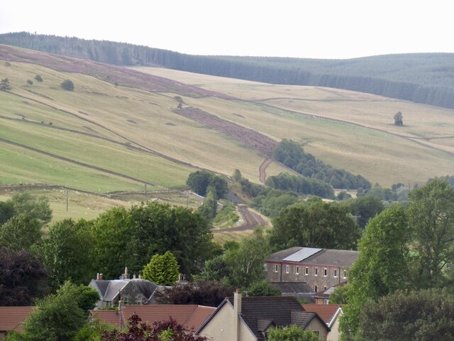
Craigend is a small village located in the county of Midlothian, Scotland. Situated approximately 10 miles southeast of the capital city of Edinburgh, it lies on the southern slopes of the Pentland Hills. The village is surrounded by picturesque countryside, offering stunning views of the rolling hills and lush green landscapes.
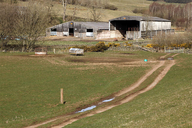
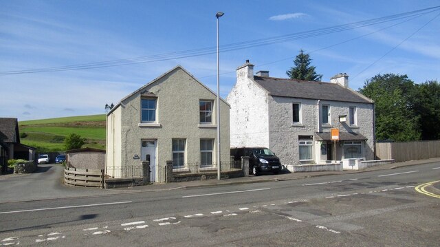
Historically, Craigend has been a rural farming community, with agriculture being the primary industry in the area. However, in recent years, the village has seen some residential development, attracting individuals seeking a quieter, rural lifestyle while still having easy access to the amenities of nearby towns.
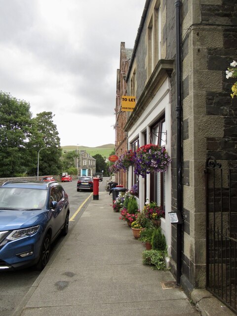
Despite its small size, Craigend is home to a few local amenities, including a village hall and a primary school, catering to the needs of the local population. The village also benefits from its proximity to larger towns, such as Penicuik and Loanhead, where residents can find a wider range of services and facilities.
The natural beauty of the surrounding countryside makes Craigend an ideal location for outdoor enthusiasts. The Pentland Hills Regional Park offers ample opportunities for hiking, cycling, and wildlife spotting. The scenic reservoirs of Glencorse and Loganlea are also within easy reach, providing a tranquil setting for fishing, boating, and birdwatching.
Overall, Craigend, Midlothian offers a peaceful and idyllic setting for those desiring a rural lifestyle while still having the convenience of nearby towns and cities.
If you have any feedback on the listing, please let us know in the comments section below.
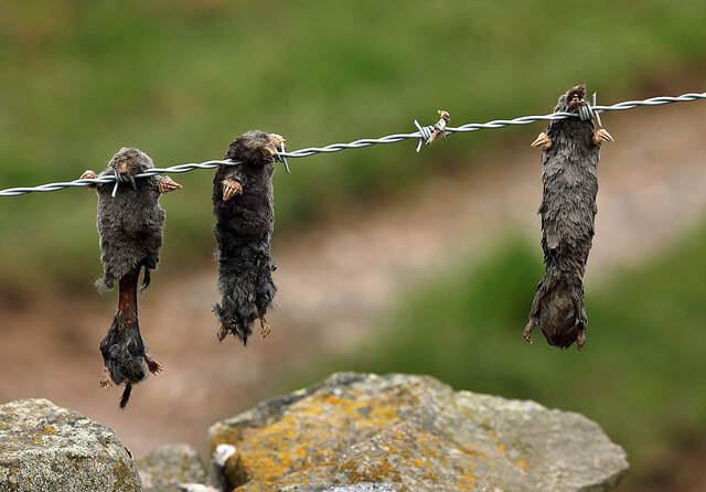
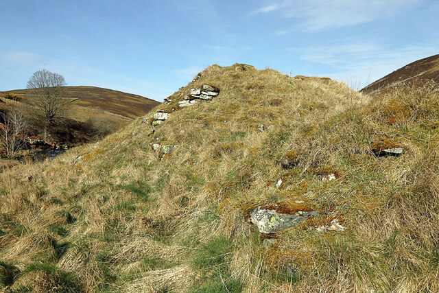
Craigend Images
Images are sourced within 2km of 55.695327/-2.8765452 or Grid Reference NT4545. Thanks to Geograph Open Source API. All images are credited.


Craigend is located at Grid Ref: NT4545 (Lat: 55.695327, Lng: -2.8765452)
Unitary Authority: The Scottish Borders
Police Authority: The Lothians and Scottish Borders
What 3 Words
///debating.floating.mealtime. Near Lauder, Scottish Borders
Nearby Locations
Related Wikis
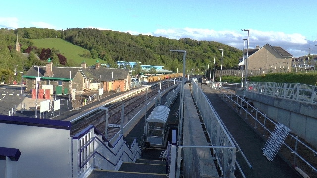
Stow railway station
Stow is a railway station on the Borders Railway, which runs between Edinburgh Waverley and Tweedbank. The station, situated 26 miles 45 chains (43 km...

Stow of Wedale
Stow of Wedale, or more often Stow, is a village in the Scottish Borders area of Scotland (historically Midlothian), 7 miles (11 kilometres) north of...

Stow of Wedale Town Hall
Stow of Wedale Town Hall is a municipal building in Earlston Road, Stow of Wedale, Scottish Borders, Scotland. The structure, which serves as a community...

Bow Castle Broch
Bow Castle is the remains of an iron-age broch near the Gala Water, in the Scottish Borders area of Scotland, in the parish of Stow. It is a scheduled...
Nearby Amenities
Located within 500m of 55.695327,-2.8765452Have you been to Craigend?
Leave your review of Craigend below (or comments, questions and feedback).