Craigend
Settlement in Stirlingshire
Scotland
Craigend
Craigend is a small village located in the county of Stirlingshire, Scotland. Situated on the eastern slope of the Campsie Fells, it is nestled amidst picturesque rolling countryside and offers stunning views of the surrounding landscape. This rural village is home to a close-knit community and provides a peaceful and tranquil environment for residents and visitors.
The village of Craigend is primarily residential, with a mix of traditional stone-built houses and newer properties. The architecture reflects the area's rich history, with some buildings dating back several centuries. The village also boasts a small number of local amenities, including a primary school, a post office, and a local convenience store, providing essential services to the community.
Nature enthusiasts will find plenty to explore in Craigend, as it is surrounded by beautiful countryside and offers access to various walking trails and outdoor recreational activities. The nearby Campsie Fells offer opportunities for hiking and climbing, with stunning vistas awaiting those who venture to the summit. The area is also known for its abundant wildlife, with a variety of bird species and mammals making their homes in the surrounding woodlands and fields.
Despite its rural setting, Craigend benefits from good transportation links, with nearby bus routes connecting it to the larger towns and cities in the region. The village is approximately a 30-minute drive from the city of Stirling and around an hour's drive from Glasgow, making it accessible for those seeking a quieter lifestyle while still having access to urban amenities.
Overall, Craigend offers a charming and idyllic setting for those seeking a peaceful village life, surrounded by natural beauty and a strong sense of community.
If you have any feedback on the listing, please let us know in the comments section below.
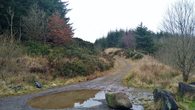
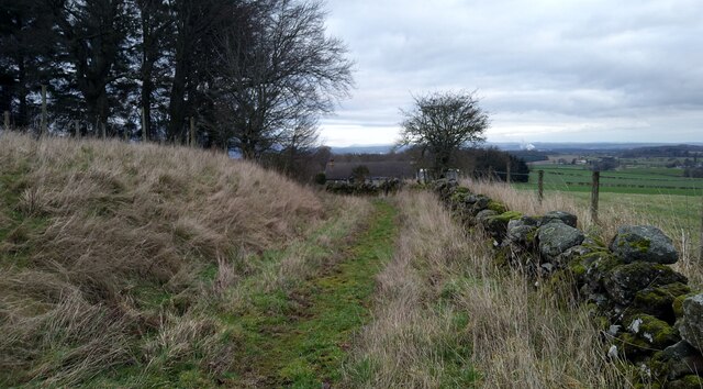
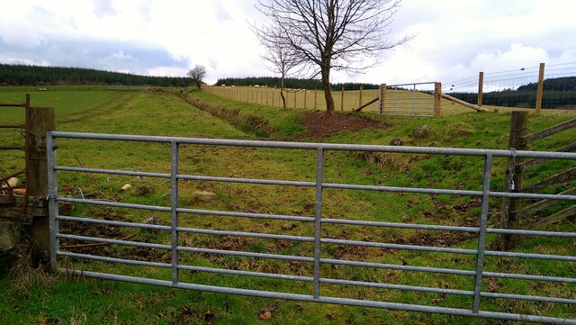
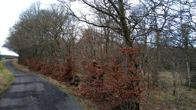
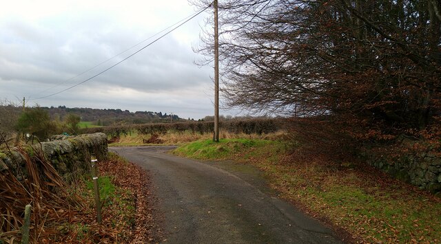
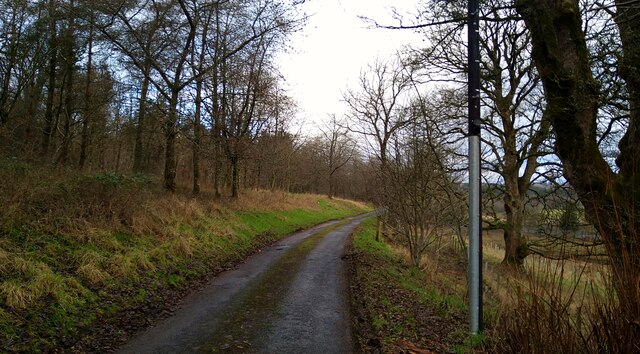
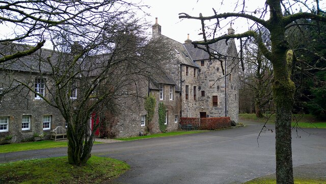
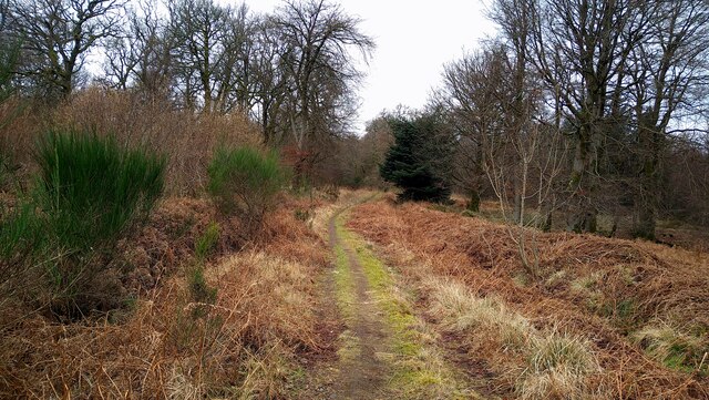
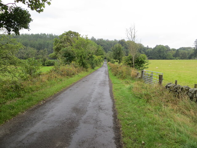
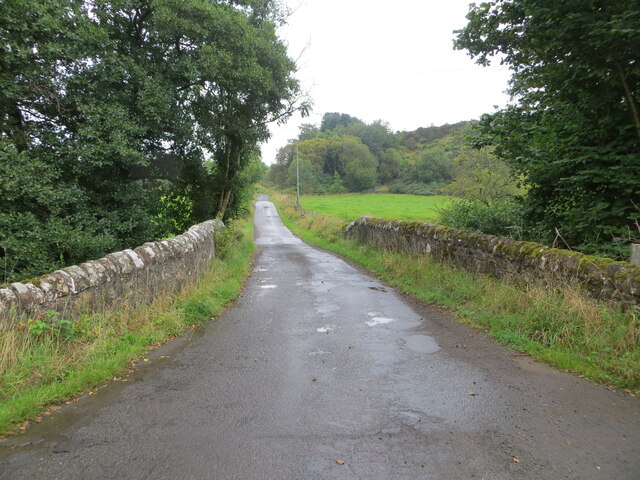
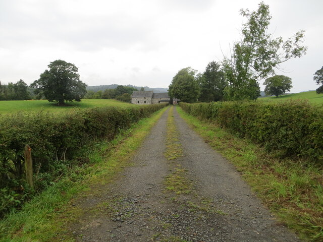
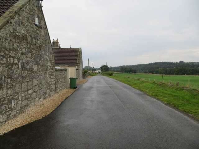
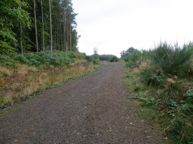
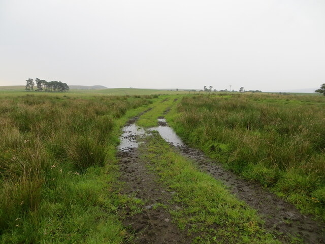
Craigend Images
Images are sourced within 2km of 56.060241/-3.9608533 or Grid Reference NS7887. Thanks to Geograph Open Source API. All images are credited.


Craigend is located at Grid Ref: NS7887 (Lat: 56.060241, Lng: -3.9608533)
Unitary Authority: Stirling
Police Authority: Forth Valley
What 3 Words
///eased.singer.love. Near Bannockburn, Stirling
Nearby Locations
Related Wikis

Howietoun Fishery
Howietoun Fishery was created by Sir James Ramsay Gibson Maitland; it is a Victorian fish farm that specialised in the study of trout and salmon farming...

Auchenbowie House
Auchenbowie House is a laird's house (mansion) in Stirling, Scotland. The location is about 3.5 miles (5.6 km) south of Stirling, on minor road west of...
Battle of Sauchieburn
The Battle of Sauchieburn was fought on 11 June 1488, at the side of Sauchie Burn, a stream about two miles (3 km) south of Stirling, Scotland. The battle...
Stirling services
Stirling services is a motorway service station near Stirling, Scotland. The service station is located where the M9 motorway and M80 motorway join. It...
Nearby Amenities
Located within 500m of 56.060241,-3.9608533Have you been to Craigend?
Leave your review of Craigend below (or comments, questions and feedback).