Sledgemoor Coppice

Wood, Forest in Worcestershire Malvern Hills

England

Sledgemoor Coppice

Karting at Moat House Farm A Geographer fails miserably to hit the racing line. Again.
Karting at Moat House Farm Credit: Peter Whatley

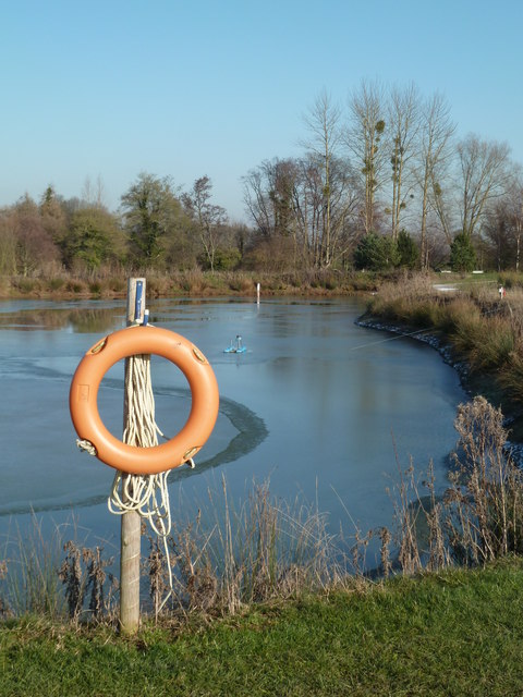
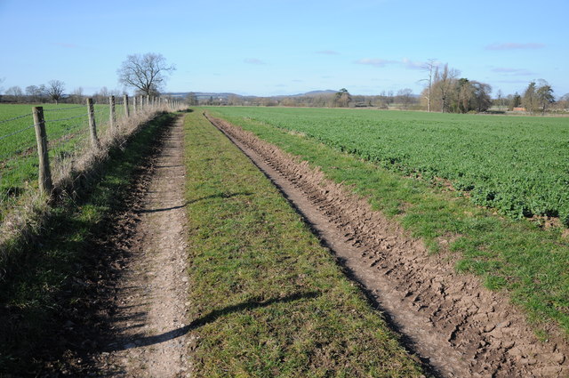
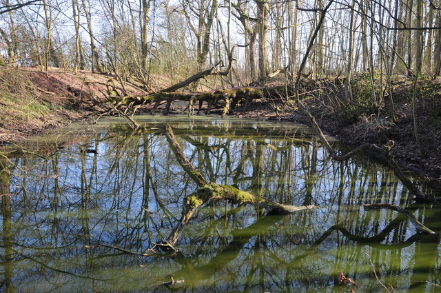
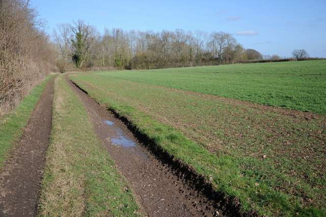
Sledgemoor Coppice is a picturesque woodland area located in Worcestershire, England. Covering approximately 50 acres, it is a prominent feature of the local landscape and a popular destination for nature enthusiasts and outdoor lovers.

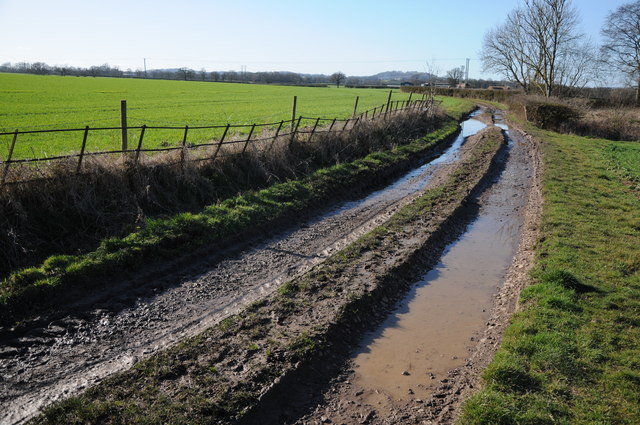
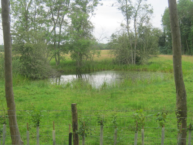
The coppice is composed mostly of deciduous trees, such as oak, ash, and birch, creating a diverse and vibrant ecosystem. The woodland is characterized by its dense undergrowth, which includes a variety of wildflowers, ferns, and mosses. The rich biodiversity of the area provides a habitat for numerous species of birds, small mammals, and insects, making it an excellent spot for wildlife observation and birdwatching.

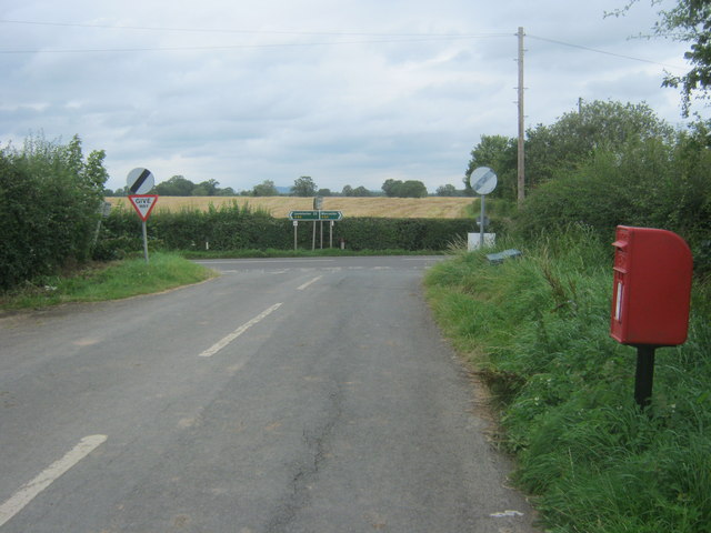
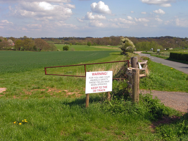
Visitors to Sledgemoor Coppice can enjoy a peaceful and tranquil environment, perfect for leisurely walks, picnics, or simply immersing oneself in nature. The network of well-maintained footpaths and trails allows for easy exploration, with scenic views and opportunities to spot wildlife around every corner.

In addition to its natural beauty, Sledgemoor Coppice also holds historical significance. It is believed that the woodland has been in existence for hundreds of years, with remnants of ancient boundary walls and stone structures still visible today. This historical charm adds an extra layer of intrigue to the coppice, appealing to both nature enthusiasts and history buffs alike.

Overall, Sledgemoor Coppice offers a delightful escape from the hustle and bustle of modern life, providing a serene and enchanting setting for visitors to connect with nature and immerse themselves in the beauty of Worcestershire's woodlands.

If you have any feedback on the listing, please let us know in the comments section below.

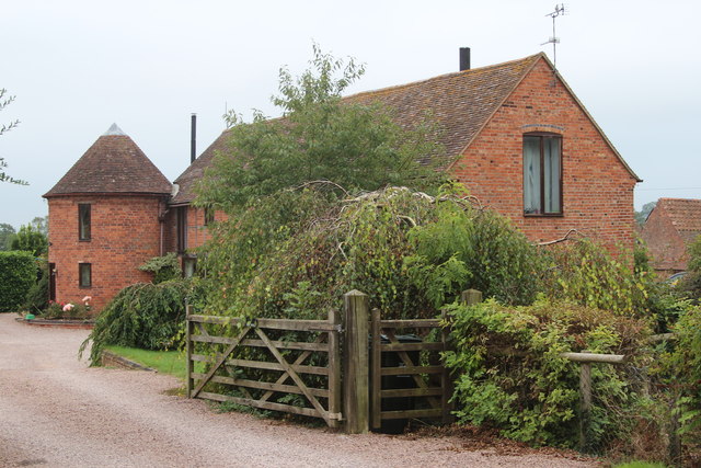
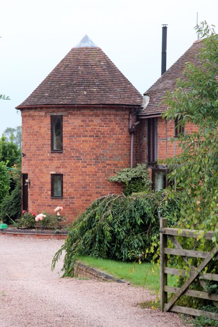
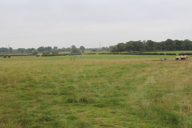
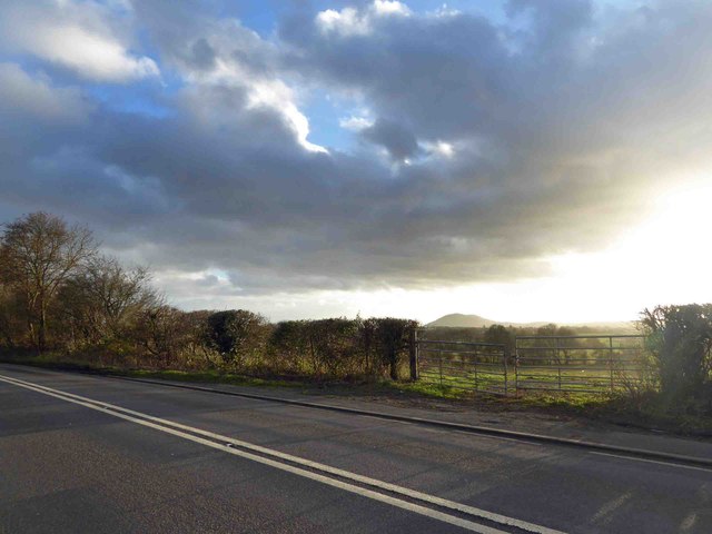
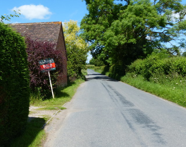
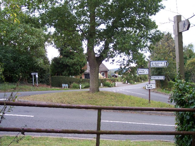
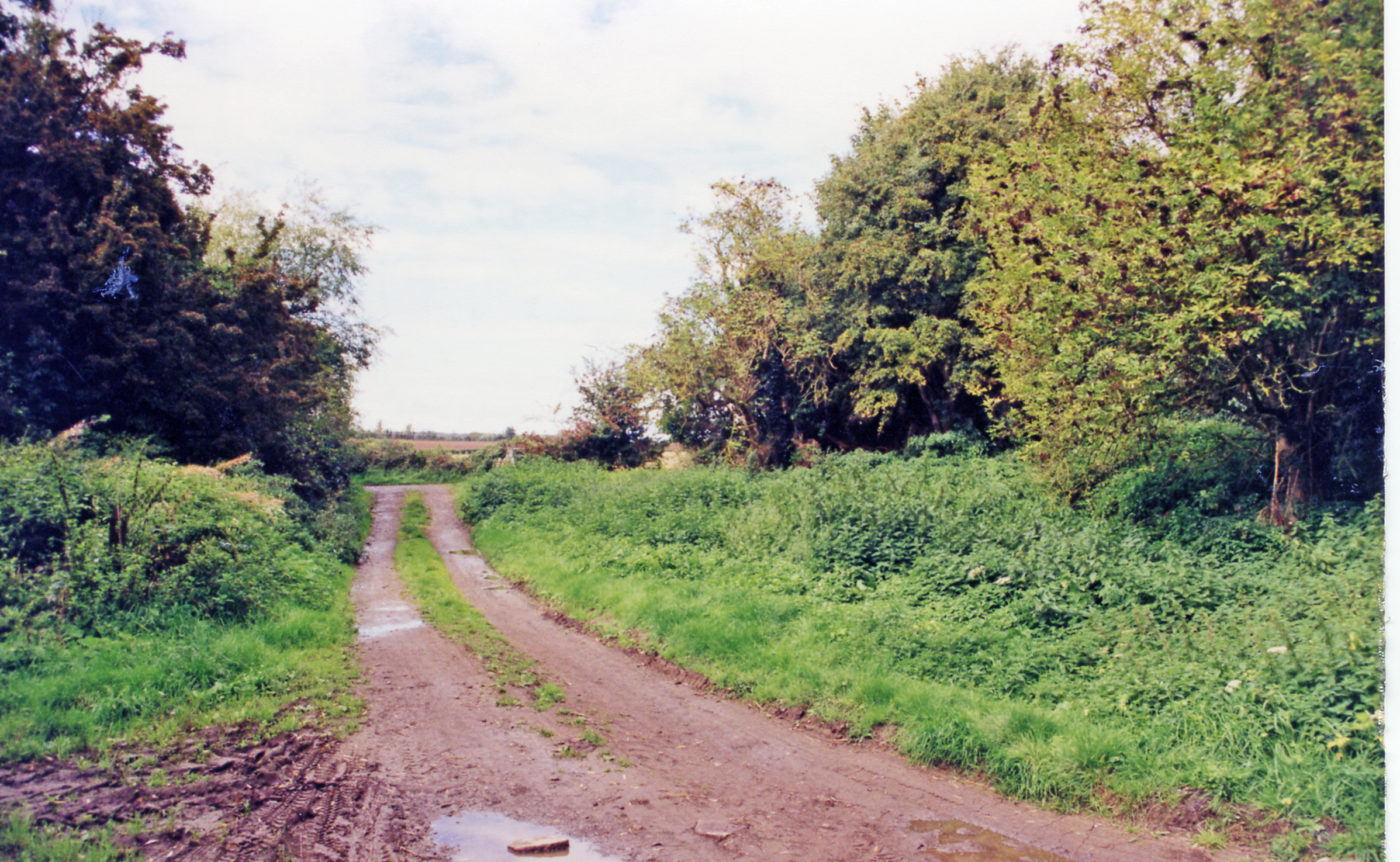
Sledgemoor Coppice Images

Images are sourced within 2km of 52.207828/-2.3227512 or Grid Reference SO7856. Thanks to Geograph Open Source API. All images are credited.

Karting at Moat House Farm A Geographer fails miserably to hit the racing line. Again.
Karting at Moat House Farm
A Geographer fails miserably to hit the racing line. Again.
Cob House Fisheries This is the nearly new Mayfly Cafe and reception area. The fisheries now boast various animals and walks to delight the visitor.
Cob House Fisheries
This is the nearly new Mayfly Cafe and reception area. The fisheries now boast various animals and walks to delight the visitor.
Cob House Fisheries - Robin On the edge of the fishing pond called Wyatts. Very often there are fishing competitions at the weekend and the public are kept out of this area. But not today - the lakes were largely frozen.
Cob House Fisheries - Robin
On the edge of the fishing pond called Wyatts. Very often there are fishing competitions at the weekend and the public are kept out of this area. But not today - the lakes were largely frozen.
Laurel Pool - Cob House Fisheries
Potential life saver - Cob House Fisheries This pool is called Pear and is a no fishing area.
Potential life saver - Cob House Fisheries
This pool is called Pear and is a no fishing area.
Ducks walk on water - Cob House Fisheries Well it is frozen! The fishing lake called Wyatts with 30 pegs.
Ducks walk on water - Cob House Fisheries
Well it is frozen! The fishing lake called Wyatts with 30 pegs.
Farm track and arable land Farm track to the south of Kenswick Manor.
Farm track and arable land
Farm track to the south of Kenswick Manor.
Pool in a wood Trees reflected in a pool in a small wood near Kenswick Manor.
Pool in a wood
Trees reflected in a pool in a small wood near Kenswick Manor.
Track and arable field Track and arable field near Kenswick Mill.
Track and arable field
Track and arable field near Kenswick Mill.
Track to Woodhall Farm Track to Woodhall Farm near Blackpool Coppice.
Track to Woodhall Farm
Track to Woodhall Farm near Blackpool Coppice.
Road from Cotheridge meeting the A44
Pond at Cotheridge
Pond at Cotheridge
Field with warning notice at Broadwas Broadwas is a small village bypassed by the A44. The field lies to the east of the settlement and has a permitted bridleway so the notice should not be interpreted as a negative one - the farmer probably needn't have allowed the access that there is. The field is the location of an OS trig point which lies behind the camera position.
Field with warning notice at Broadwas
Broadwas is a small village bypassed by the A44. The field lies to the east of the settlement and has a permitted bridleway so the notice should not be interpreted as a negative one - the farmer probably needn't have allowed the access that there is. The field is the location of an OS trig point which lies behind the camera position.
The Oast House, Peghouse Farm, Broad Green Single round kiln oast house.
The Oast House, Peghouse Farm, Broad Green
Single round kiln oast house.
 The Oast House, Peghouse Farm, Broad Green Single round kiln oast house.
The Oast House, Peghouse Farm, Broad Green
Single round kiln oast house.
Field by Peghouse Farm
In the distance The Malvern Hills
Lightwood Lane near Cotheridge
Show me another place!

Sledgemoor Coppice is located at Grid Ref: SO7856 (Lat: 52.207828, Lng: -2.3227512)

Administrative County: Worcestershire

District: Malvern Hills

Police Authority: West Mercia

What 3 Words

///widen.revamped.ombudsman. Near Lower Broadheath, Worcestershire

Nearby Locations

Sledgemoor Coppice

Related Wikis

Cotheridge

Cotheridge is a village and civil parish in the district of Malvern Hills in the county of Worcestershire, England. It is 4 miles (6 km) west of the...

Kenswick, Worcestershire

Kenswick is a village and civil parish (with Wichenford) in the Malvern Hills District in the county of Worcestershire, England. == External links... ==

St Leonard's Church, Cotheridge

St. Leonard's Church is a small, 12th-century church located in the scattered village of Cotheridge in Worcestershire. It stands not far from the manor...

Cotheridge Court

Cotheridge Court is a Grade II* listed ancient manor house situated in the south-western part of Cotheridge, in the county of Worcestershire, England,...

A44 road

The A44 is a major road in the United Kingdom that runs from Oxford in southern England to Aberystwyth in west Wales. == History == The original (1923...

Broadwas

Broadwas, or Broadwas-on-Teme, is a village and civil parish (with Cotheridge) in the Malvern Hills district of Worcestershire, England. According to...

Upper Broadheath

Upper Broadheath is an area in the village of Lower Broadheath. It is not a separate village. Worcestershire, England. It is in the Malvern Hills District...

Leigh Court railway station

Leigh Court railway station was a station in Leigh, Worcestershire, England. The station was opened on 2 May 1874 and closed on 7 September 1964. ��2...

Nearby Amenities

Located within 500m of 52.207828,-2.3227512
Bus Stop
Tinkers Cross- Brownscroft Lane
Bus: yes
Naptan AtcoCode: 2000G070500
Naptan Bearing: E
Naptan CommonName: Tinkers Cross- Brownscroft Lane
Naptan Indicator: Adj
Naptan Landmark: Lingens Farm
Naptan NaptanCode: wocdwmpm
Naptan Street: Brownscroft Lane
Naptan Verified: no
Public Transport: platform
Source: naptan_import
Lat/Long: 52.2061302/-2.3165997
Power: tower
Lat/Long: 52.2106469/-2.3220298
Power: tower
Lat/Long: 52.2079227/-2.329299
Power: tower
Lat/Long: 52.2091737/-2.3259187
Power: pole
Lat/Long: 52.2050018/-2.3276091
Power: pole
Lat/Long: 52.2066813/-2.3268432
Power: pole
Lat/Long: 52.2099636/-2.3252902
Power: pole
Lat/Long: 52.2056491/-2.3273689
Power: pole
Lat/Long: 52.211686/-2.3235522
Power: pole
Lat/Long: 52.2108758/-2.3243515
Power: pole
Lat/Long: 52.2073962/-2.3264999
Power: pole
Lat/Long: 52.2091058/-2.3256879
Power: pole
Lat/Long: 52.2082707/-2.3260922
Sledgemoor Coppice
Power: pole
Transformer: distribution
Voltage Primary: 11000
Lat/Long: 52.2067651/-2.322852
Power: pole
Lat/Long: 52.2066961/-2.3217067
Power: pole
Lat/Long: 52.2066369/-2.3205936
Power: pole
Lat/Long: 52.2065909/-2.3195744
Power: pole
Lat/Long: 52.2064988/-2.3191506
Blackfields Farm
Power: pole
Transformer: distribution
Voltage Primary: 11000
Lat/Long: 52.2061084/-2.3213869
Power: pole
Lat/Long: 52.2056901/-2.3188019
Brownscroft
Power: pole
Transformer: distribution
Voltage Primary: 11000
Lat/Long: 52.2106506/-2.323194
Power: pole
Lat/Long: 52.2112538/-2.3235078
Location Transition: yes
Power: pole
Lat/Long: 52.2118134/-2.3235481
Power: pole
Lat/Long: 52.2060131/-2.3208001
Power: pole
Lat/Long: 52.2058981/-2.3201081
Power: pole
Lat/Long: 52.2055241/-2.3176365
The data included in this document is from www.openstreetmap.org. The data is made available under ODbL.

Have you been to Sledgemoor Coppice?

Leave your review of Sledgemoor Coppice below (or comments, questions and feedback).