Bent House Wood
Wood, Forest in Northumberland
England
Bent House Wood
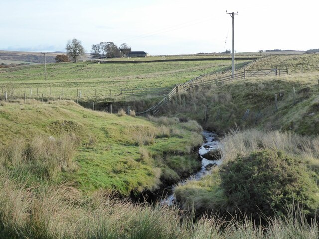
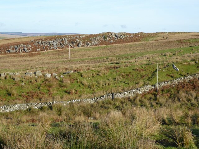
Bent House Wood is a picturesque woodland located in the county of Northumberland, England. This enchanting forest covers an area of approximately 200 acres, making it a significant natural attraction in the region. The wood is situated near the village of Milfield, nestled in the foothills of the Cheviot Hills.
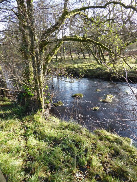
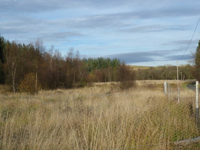
The woodland is characterized by its diverse range of tree species, including oak, beech, birch, and spruce, which create a rich and vibrant tapestry of colors throughout the seasons. The dense canopy of the trees provides a sheltered environment, attracting a variety of wildlife. Birdwatchers can spot species such as woodpeckers, nuthatches, and tawny owls among the treetops.
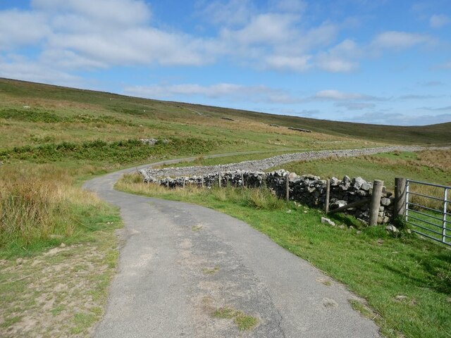
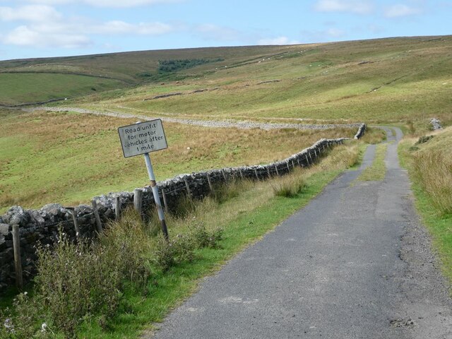
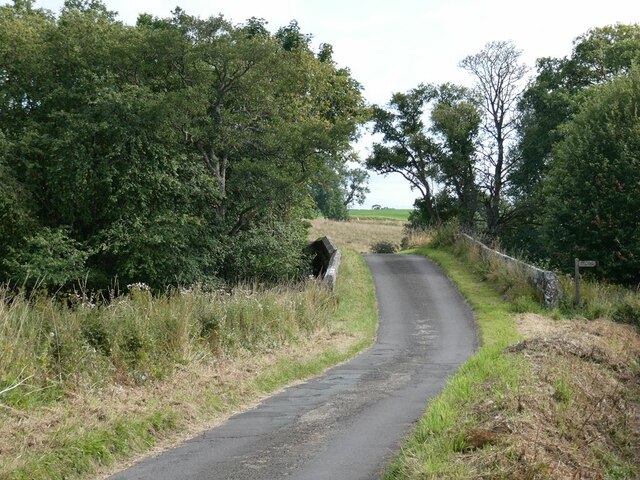
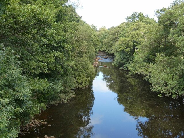
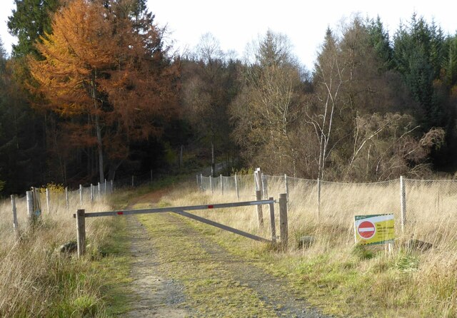
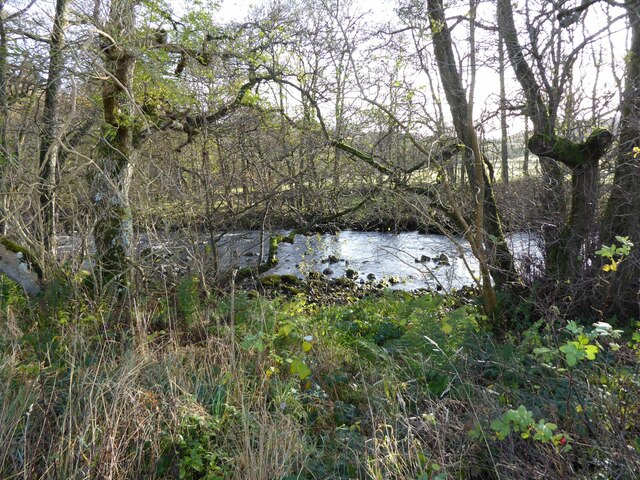
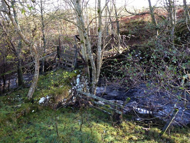
Bent House Wood offers a network of well-maintained footpaths that wind through the forest, inviting visitors to explore its natural beauty. The paths lead to hidden clearings, babbling brooks, and tranquil ponds, offering peaceful spots for relaxation and reflection. With its abundant flora and fauna, the woodland is a haven for nature enthusiasts, photographers, and those seeking solace in the great outdoors.
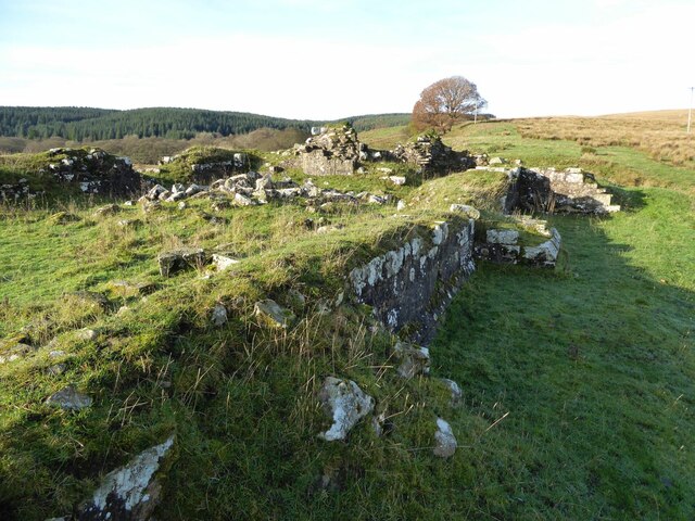
The wood has a rich history, with evidence of human presence dating back thousands of years. Archaeological finds, including ancient burial mounds and stone circles, highlight the significance of the area in prehistoric times. Today, the woodland is owned and managed by a local conservation organization, ensuring its preservation for generations to come.
Bent House Wood is a true gem of Northumberland, offering a serene and idyllic escape for visitors seeking to immerse themselves in the beauty of nature.
If you have any feedback on the listing, please let us know in the comments section below.
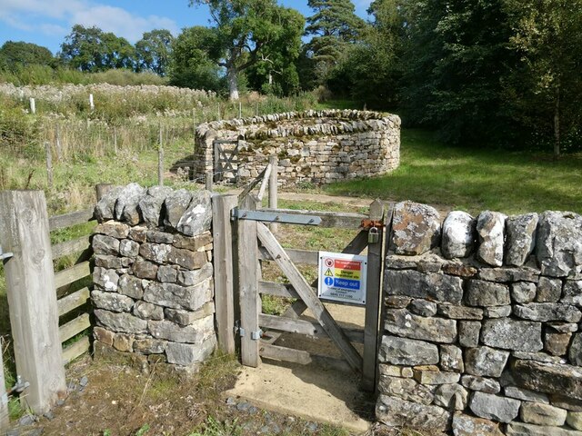
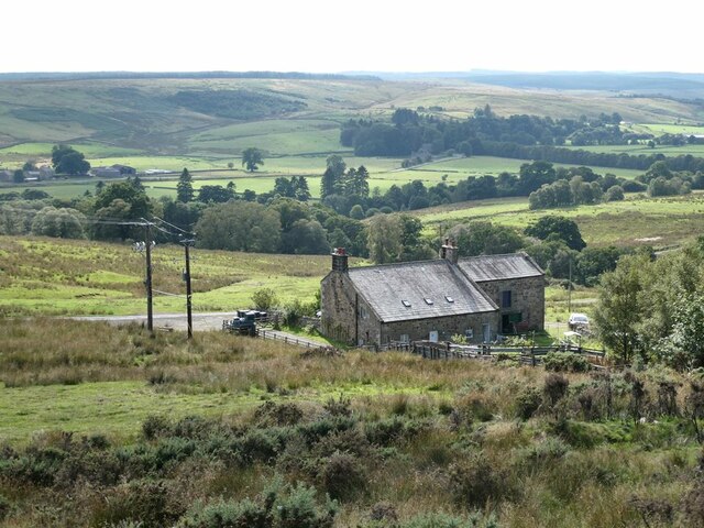
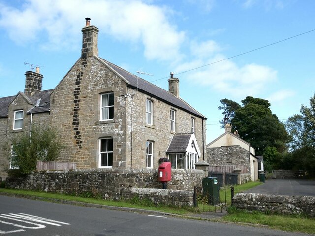
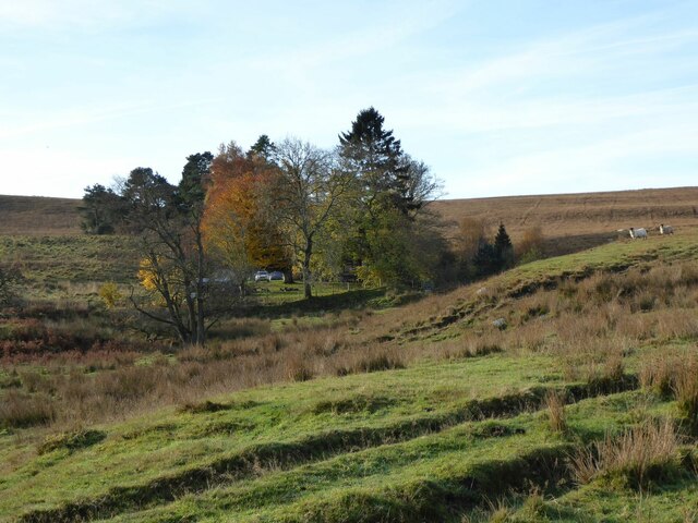
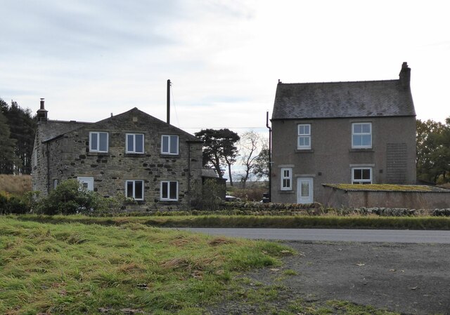
Bent House Wood Images
Images are sourced within 2km of 55.159566/-2.3480141 or Grid Reference NY7785. Thanks to Geograph Open Source API. All images are credited.

Bent House Wood is located at Grid Ref: NY7785 (Lat: 55.159566, Lng: -2.3480141)
Unitary Authority: Northumberland
Police Authority: Northumbria
What 3 Words
///publisher.headache.broken. Near Bellingham, Northumberland
Nearby Locations
Related Wikis

Greystead
Greystead is a village and civil parish in Northumberland, England west of Bellingham. The population as of the 2011 census was less than 100. It shares...

Dally Castle
Dally Castle is a ruined 13th-century stone motte-and-bailey fortress in Northumberland, and one of the first hall houses in Northumberland. It lies 5...

Tarset Castle
Tarset Castle is a ruin near Tarset in Northumberland. == History == A licence to crenellate was granted to John Comyn in 1267, and the castle was built...

Tarset railway station
Tarset railway station served the civil parish of Tarset, Northumberland, England from 1862 to 1958 on the Border Counties Railway. == History == The station...
Tarset
Tarset is a civil parish in Northumberland, England, created in 1955 from parts of Bellingham, Tarset West and Thorneyburn parishes. It is 4 miles (6 km...

Thorneyburn railway station
Thorneyburn railway station served the village of Thorneyburn, Northumberland, England from 1861 to 1956 on the Border Counties Railway. == History... ==
Charlton, Northumberland
Charlton is a village in Northumberland, England. It is about 1.5 miles (2.4 km) to the northwest of Bellingham, on the River North Tyne. == Governance... ==
Thorneyburn
Thorneyburn is a village and former civil parish, now in the parish of Tarset, in Northumberland, England, to the northwest of Bellingham. In 1951 the...
Nearby Amenities
Located within 500m of 55.159566,-2.3480141Have you been to Bent House Wood?
Leave your review of Bent House Wood below (or comments, questions and feedback).