Kitlands Coppice

Wood, Forest in Staffordshire Wyre Forest

England

Kitlands Coppice

Red Lion Inn, near Shatterford Freehouse on the Kidderminster Bridgnorth road
Red Lion Inn, near Shatterford Credit: al partington

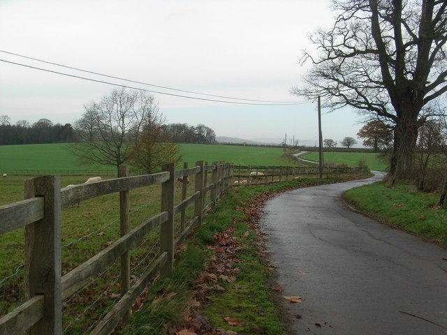
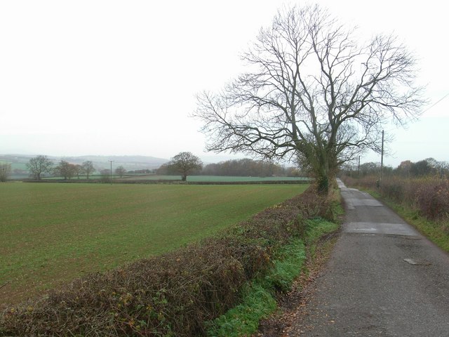
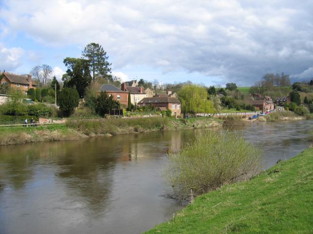
Kitlands Coppice is a charming woodland located in the county of Staffordshire, England. Spanning over an area of approximately 50 acres, this forest offers a peaceful retreat for nature enthusiasts and outdoor adventurers alike.

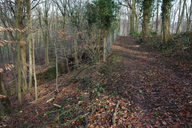
The coppice is characterized by its diverse range of trees, including oak, birch, beech, and ash, which create a stunning canopy of greenery. The forest floor is adorned with a carpet of wildflowers during spring, adding a burst of color to the landscape.

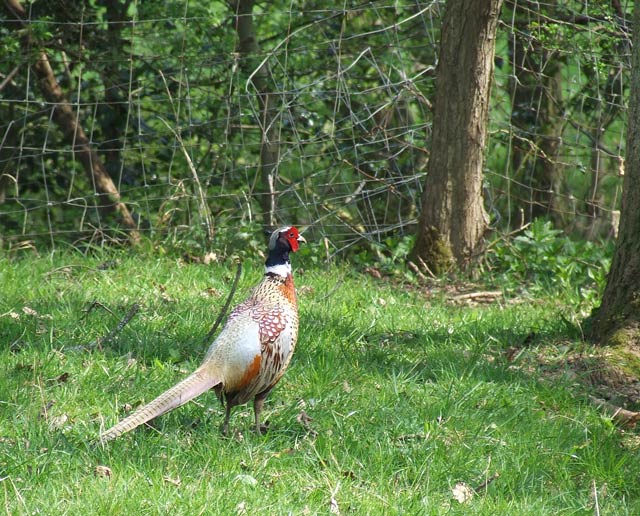
The woodland is home to a variety of wildlife, providing a haven for many species. Visitors may be lucky enough to spot native birds such as woodpeckers, owls, and various songbirds. Small mammals like foxes, badgers, and rabbits also call this forest their home, while reptiles and amphibians can be found hiding amongst the undergrowth.

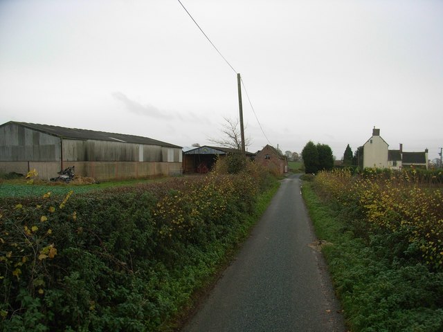
There are several walking trails that wind through the coppice, offering visitors the opportunity to explore its natural beauty. These trails are well-maintained, making them accessible to people of all ages and fitness levels. Along the way, benches and picnic spots are strategically placed, inviting visitors to take a break and immerse themselves in the tranquil surroundings.

Kitlands Coppice is open to the public year-round, free of charge. It is a popular destination for families, hikers, and nature lovers seeking a peaceful escape from the hustle and bustle of daily life. Whether one is looking for a leisurely stroll or a more adventurous hike, this woodland provides a serene and captivating experience for all who visit.

If you have any feedback on the listing, please let us know in the comments section below.

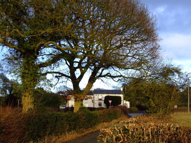
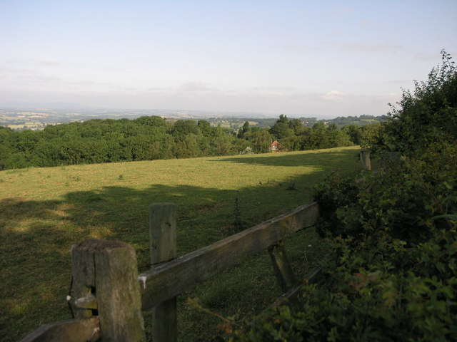
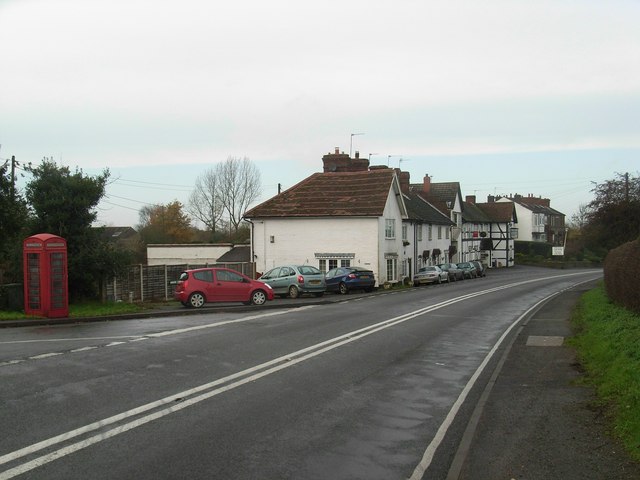
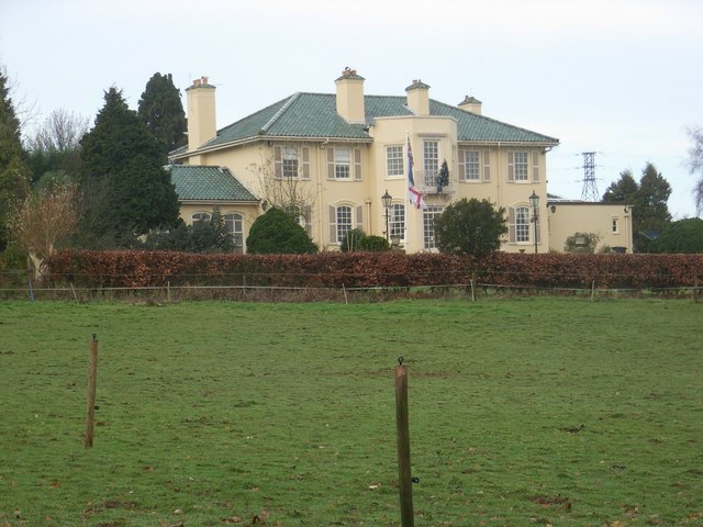
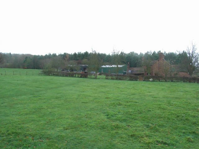
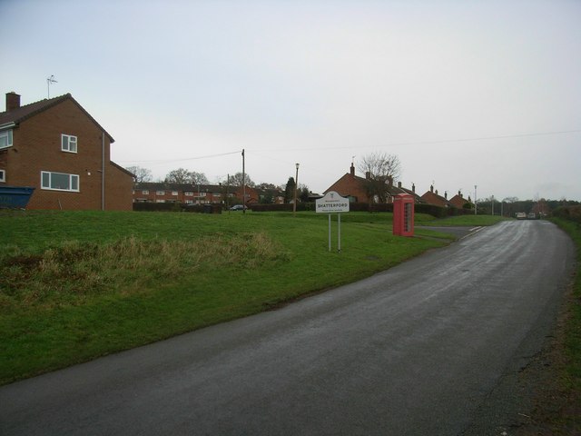
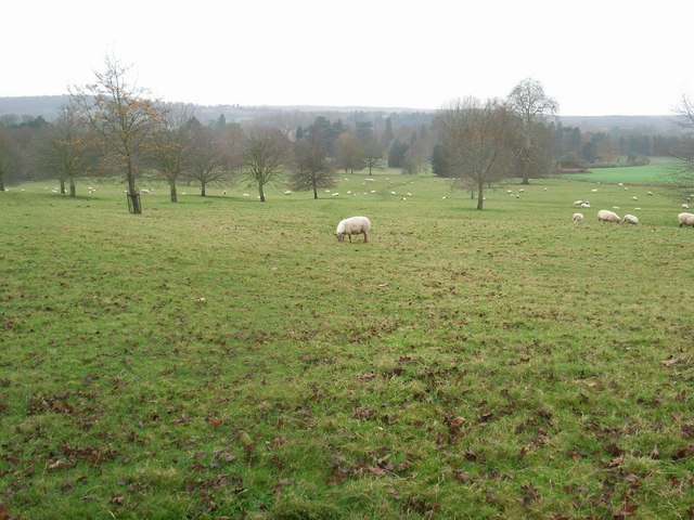
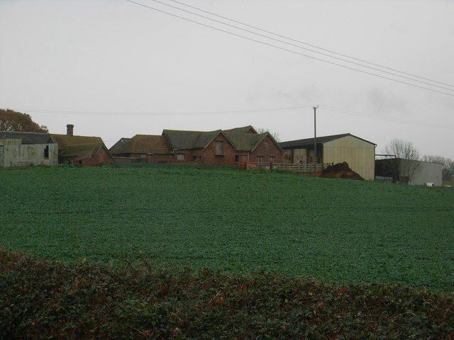
Kitlands Coppice Images

Images are sourced within 2km of 52.435784/-2.3261659 or Grid Reference SO7782. Thanks to Geograph Open Source API. All images are credited.

Red Lion Inn, near Shatterford Freehouse on the Kidderminster Bridgnorth road
Red Lion Inn, near Shatterford
Freehouse on the Kidderminster Bridgnorth road
500 Squares in One This field near Shatterford enjoys views for many miles to the west.
500 Squares in One
This field near Shatterford enjoys views for many miles to the west.
The Bellman's Cross Inn
Shatterford Grange
Shatterford Grange
Goods Green Farm
Goods Green Farm
Footpath to Upper Arley Across Arley Estate
Footpath to Upper Arley
Across Arley Estate
Drive to Bromley Farm
Drive to Hexton Farm
Shropshire Farm
Shropshire Farm
Coldridge Wood View to the west through the trees in Coldridge Wood.
Coldridge Wood
View to the west through the trees in Coldridge Wood.
Catkins in Coldridge Wood
Track through Coldridge Wood To the left of the track are a number of old quarries. The fence on the left provides protection from these quarries.
Track through Coldridge Wood
To the left of the track are a number of old quarries. The fence on the left provides protection from these quarries.
Farmland near Alveley in Shropshire Looking west from Romsley Lane.
Half the field has been ploughed so far. A bridleway leads down the hill in the line of trees/bushes to the right of the field boundary. The edge of Alveley can be seen in the distance. I had not spotted the bird of prey when taking the picture!
Farmland near Alveley in Shropshire
Looking west from Romsley Lane. Half the field has been ploughed so far. A bridleway leads down the hill in the line of trees/bushes to the right of the field boundary. The edge of Alveley can be seen in the distance. I had not spotted the bird of prey when taking the picture!
"Into the Bushes", footpath near Alveley, Shropshire The entrance to this public footpath between two lines of hedges looks more like a hobbit path than a human one!!
"Into the Bushes", footpath near Alveley, Shropshire
The entrance to this public footpath between two lines of hedges looks more like a hobbit path than a human one!!
Pheasant, near Hartsgreen, Shropshire The whole area rings with the sound of these attractive birds.
Pheasant, near Hartsgreen, Shropshire
The whole area rings with the sound of these attractive birds.
Show me another place!

Kitlands Coppice is located at Grid Ref: SO7782 (Lat: 52.435784, Lng: -2.3261659)

Administrative County: Worcestershire

District: Wyre Forest

Police Authority: West Mercia

What 3 Words

///shortcuts.merchant.automatic. Near Romsley, Shropshire

Related Wikis

Romsley, Shropshire

Romsley (grid reference SO783826) is a hamlet and civil parish in southeast Shropshire, England. It is bounded on the north and west by Alveley and on...

Shatterford

Shatterford is a village in the Wyre Forest District of Worcestershire, England, located north-west of Bewdley and lies less than a mile from the county...

Arley House and Gardens

Arley House and Gardens are situated at Upper Arley, about 4 miles (6.4 km) north-west of Bewdley, in Worcestershire, England. The gardens, arboretum and...

Upper Arley

Upper Arley (grid reference SO765805) is a village and civil parish near Kidderminster in the Wyre Forest District of Worcestershire, England. Historically...

Shatterford Hill

Shatterford Hill is an English geographical feature that extends from Bewdley in north Worcestershire to Birdsgreen near Alveley, just over the border...

Arley railway station

Arley railway station is a station on the Severn Valley Railway heritage line in Worcestershire, situated just over the River Severn from the village of...

Alveley

Alveley is a village in the Severn Valley in southeast Shropshire, England, about 11 miles (18 km) south-southeast of Bridgnorth. It is in the civil parish...

Victoria Bridge, Worcestershire

The Victoria Bridge crosses the River Severn between Arley and Bewdley in Worcestershire, England. At the time of its construction, the 200-foot railway...

Nearby Amenities

Located within 500m of 52.435784,-2.3261659
Romsley- Red Lion
Naptan AtcoCode: 2000G100100
Naptan Bearing: NW
Naptan BusStopType: CUS
Naptan CommonName: Romsley- Red Lion
Naptan Indicator: Adj
Naptan Landmark: Public House
Naptan NaptanCode: wocgjwgj
Naptan Street: (A442)
Naptan Verified: no
Source: naptan_import
Lat/Long: 52.4379076/-2.3260729
Romsley- (Red Lion Inn- (A442)
Naptan AtcoCode: 2000G581591
Naptan Bearing: SE
Naptan BusStopType: CUS
Naptan CommonName: Romsley- (Red Lion Inn- (A442)
Naptan Indicator: Adj
Naptan Landmark: Public House
Naptan NaptanCode: wocgmwdp
Naptan Street: A442
Naptan Verified: no
Source: naptan_import
Lat/Long: 52.4383829/-2.3265178
Barrier: kissing_gate
Source: survey
Lat/Long: 52.4321923/-2.3303158
Power: pole
Lat/Long: 52.4323427/-2.3252273
Power: pole
Lat/Long: 52.433361/-2.3263147
Material: wood
Power: pole
Lat/Long: 52.4354089/-2.3284801
Material: wood
Power: pole
Lat/Long: 52.4363432/-2.3294984
Material: wood
Power: pole
Lat/Long: 52.4373416/-2.3294459
Material: wood
Power: pole
Lat/Long: 52.4387165/-2.3293377
Marker: aerial
Operator: CLH
Operator Old: GPSS
Ref GPSS: 19902
Utility: oil
Lat/Long: 52.4359651/-2.3300846
Marker: plate
Operator: CLH
Operator Old: GPSS
Ref: MP 4065
Ref GPSS: 15252
Utility: oil
Lat/Long: 52.4363343/-2.33079
Marker: aerial
Operator: CLH
Operator Old: GPSS
Ref GPSS: 18083; 15261
Utility: oil
Lat/Long: 52.4362931/-2.3307114
Marker: pedestal
Operator: CLH
Operator Old: GPSS
Ref: CP 2242
Utility: oil
Lat/Long: 52.4362949/-2.3307147
The data included in this document is from www.openstreetmap.org. The data is made available under ODbL.

Have you been to Kitlands Coppice?

Leave your review of Kitlands Coppice below (or comments, questions and feedback).