Eymore Wood
Wood, Forest in Worcestershire Wyre Forest
England
Eymore Wood
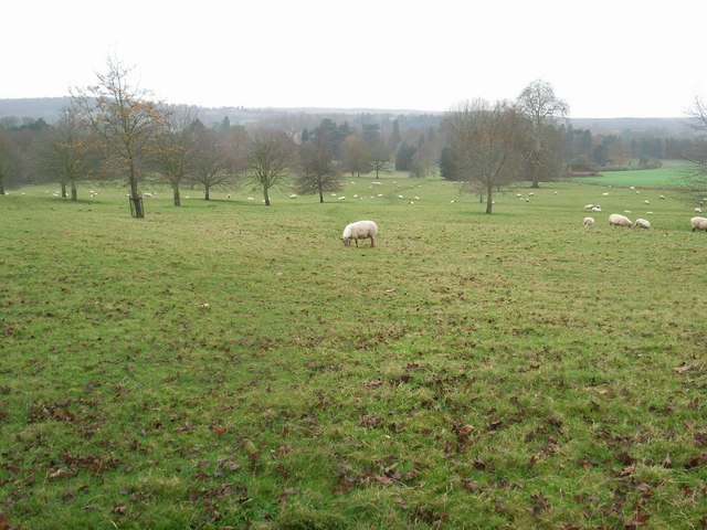
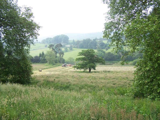
Eymore Wood, located in Worcestershire, England, is a picturesque forest known for its lush vegetation and tranquil ambiance. Spread across an area of approximately 100 acres, this woodland is nestled within the heart of the county, making it easily accessible for both locals and visitors.
Eymore Wood is characterized by its diverse range of trees, including oak, ash, birch, and beech, which create a captivating canopy of greenery. The forest floor is carpeted with a variety of wildflowers, ferns, and mosses, adding to its enchanting beauty. The wood is also home to numerous wildlife species, such as deer, foxes, badgers, and a wide array of bird species, making it a popular spot for nature enthusiasts and birdwatchers.
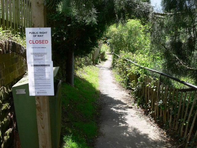
Visitors to Eymore Wood can explore its extensive network of trails, allowing them to immerse themselves in nature and enjoy peaceful walks in a serene setting. The forest is well-maintained, with clear signposts and well-marked paths, ensuring visitors can navigate easily and safely.
Eymore Wood holds great historical significance, with evidence of human presence dating back to ancient times. Archaeological findings suggest that the area was inhabited by early settlers thousands of years ago, leaving behind remnants of their dwellings and tools. This rich history adds an additional layer of intrigue to the wood, attracting history enthusiasts and researchers.
Overall, Eymore Wood in Worcestershire offers a tranquil retreat from the hustle and bustle of daily life, providing visitors with the opportunity to connect with nature, observe wildlife, and immerse themselves in the area's rich history.
If you have any feedback on the listing, please let us know in the comments section below.
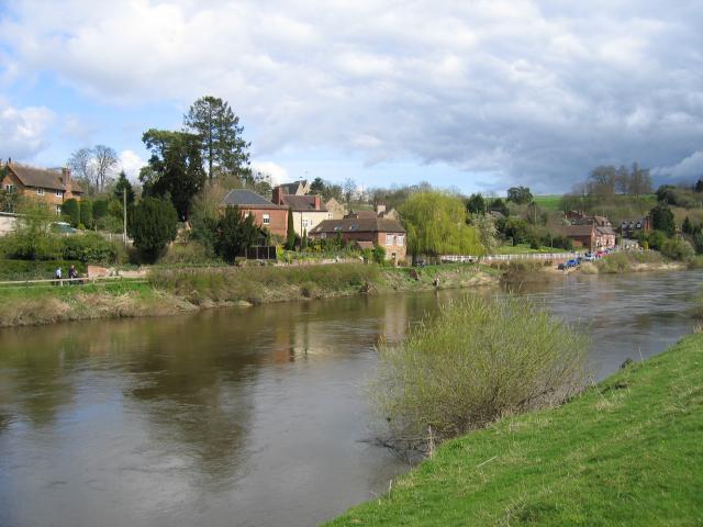
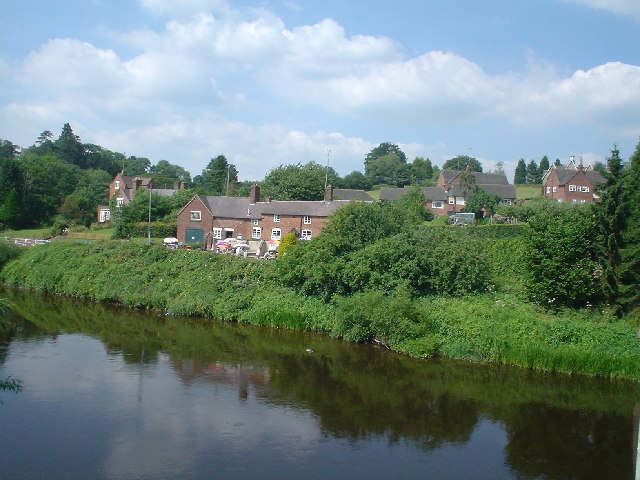
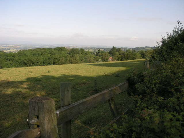
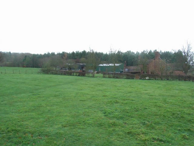
Eymore Wood Images
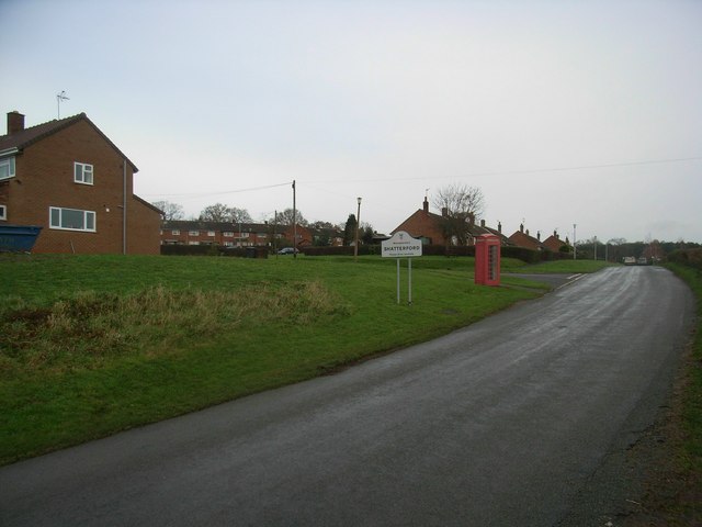
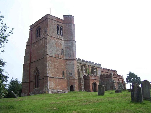
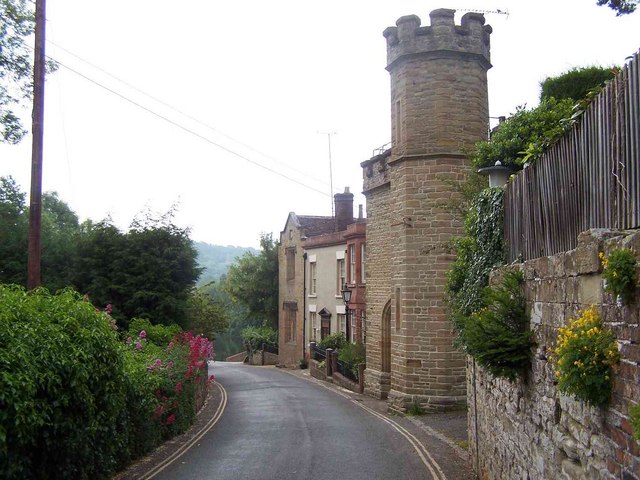
Images are sourced within 2km of 52.413057/-2.3294824 or Grid Reference SO7779. Thanks to Geograph Open Source API. All images are credited.


Eymore Wood is located at Grid Ref: SO7779 (Lat: 52.413057, Lng: -2.3294824)
Administrative County: Worcestershire
District: Wyre Forest
Police Authority: West Mercia
What 3 Words
///hormones.dolphin.shrubbery. Near Bewdley, Worcestershire
Nearby Locations
Related Wikis

Shatterford Hill
Shatterford Hill is an English geographical feature that extends from Bewdley in north Worcestershire to Birdsgreen near Alveley, just over the border...

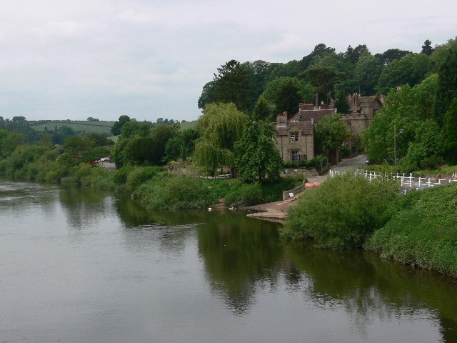
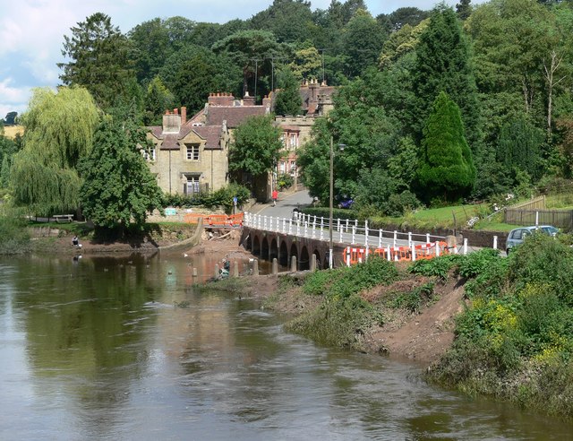
Victoria Bridge, Worcestershire
The Victoria Bridge crosses the River Severn between Arley and Bewdley in Worcestershire, England. At the time of its construction, the 200-foot railway...

Arley railway station
Arley railway station is a station on the Severn Valley Railway heritage line in Worcestershire, situated just over the River Severn from the village of...

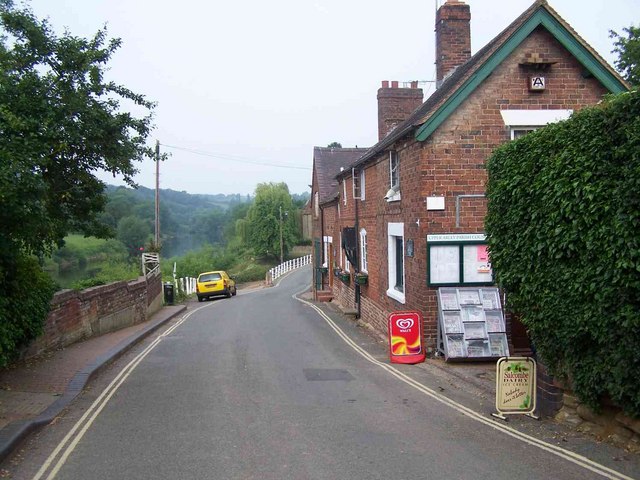
Upper Arley
Upper Arley (grid reference SO765805) is a village and civil parish near Kidderminster in the Wyre Forest District of Worcestershire, England. Historically...
Nearby Amenities
Located within 500m of 52.413057,-2.3294824Have you been to Eymore Wood?
Leave your review of Eymore Wood below (or comments, questions and feedback).