Ashgill Wood

Wood, Forest in Cumberland Eden

England

Ashgill Wood

Summit cairn of Dead Stones Summit cairns are often simple piles of stones but that at the 709 m. top of Dead Stones is a well-constructed pillar.
The bulk of Burnhope Seat is distant.
Summit cairn of Dead Stones Credit: Trevor Littlewood

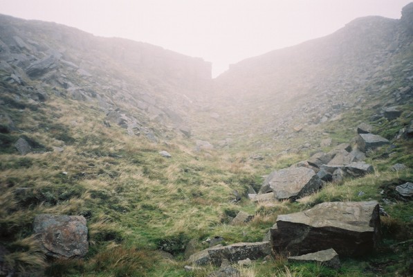
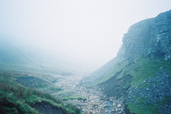
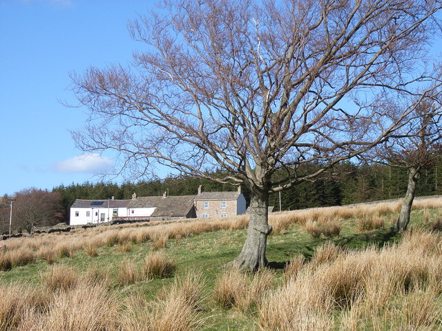
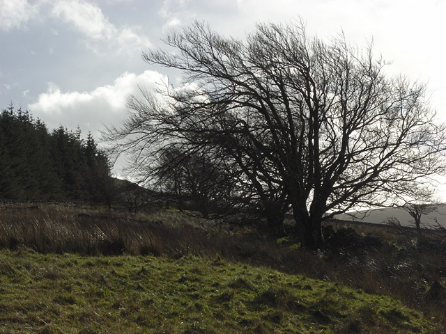
Ashgill Wood is a picturesque forest located in the county of Cumberland, in northwest England. Covering an area of approximately 100 acres, this tranquil woodland is a haven for nature enthusiasts and outdoor adventurers alike.

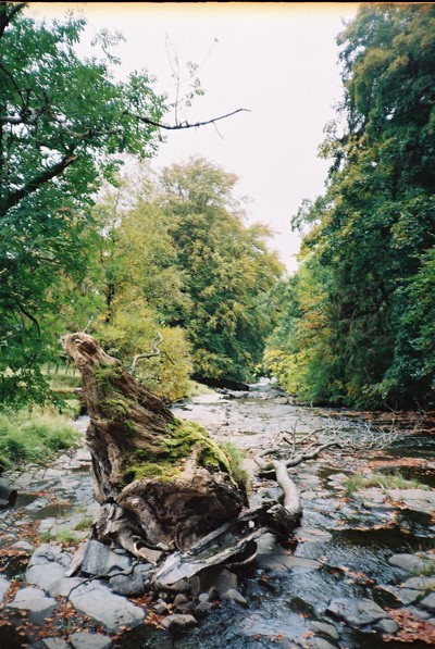
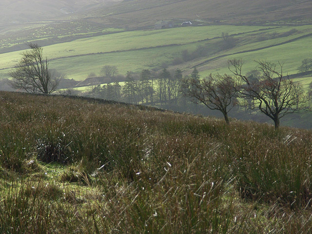
The woodland is predominantly composed of native broadleaf trees such as oak, beech, and birch, creating a diverse and vibrant ecosystem. The dense canopy allows for limited sunlight penetration, resulting in a rich understory of ferns, mosses, and wildflowers. This lush vegetation provides a habitat for a wide range of wildlife, including squirrels, rabbits, and various bird species.

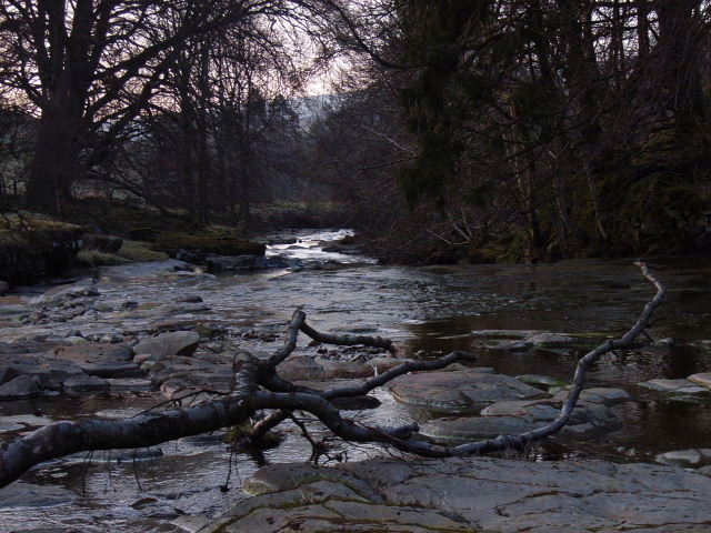
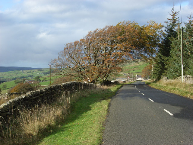
Ashgill Wood is crisscrossed by a network of well-maintained footpaths, offering visitors the opportunity to explore its many hidden gems. The paths wind through the forest, leading to secluded glades, babbling brooks, and small ponds. Along the way, visitors can observe ancient trees, some of which are over 200 years old, showcasing the rich history of the woodland.

The wood is a popular destination for recreational activities such as hiking, jogging, and birdwatching. The peaceful atmosphere and abundance of wildlife make it an ideal spot for nature lovers to escape the hustle and bustle of everyday life. Additionally, there are designated picnic areas where families can enjoy a leisurely lunch surrounded by nature's beauty.

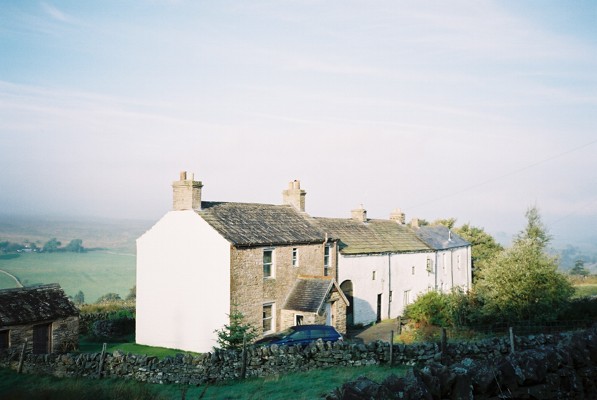
Ashgill Wood is easily accessible, located just a short distance from the town of Carlisle. Its proximity to urban areas makes it a popular destination for day trips and weekend getaways. Whether visitors are seeking a peaceful stroll or an immersive nature experience, Ashgill Wood offers a serene and enchanting setting for all to enjoy.

If you have any feedback on the listing, please let us know in the comments section below.
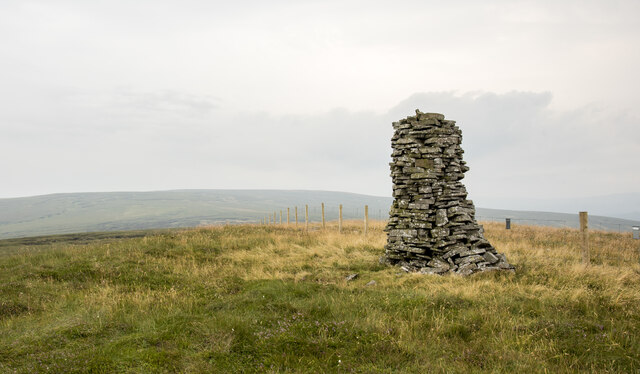
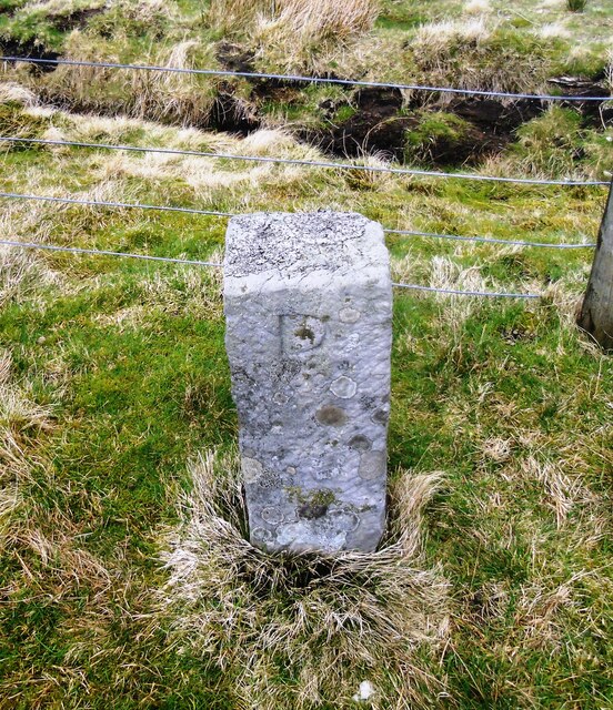
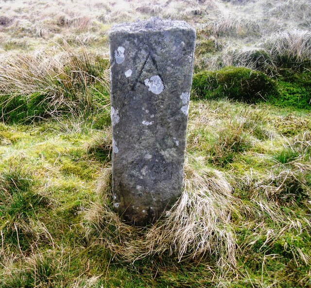
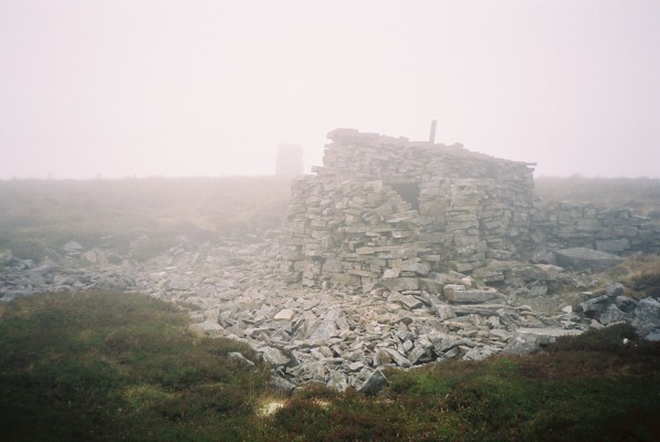
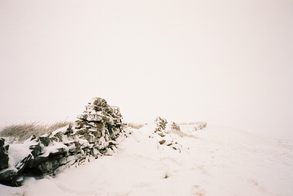
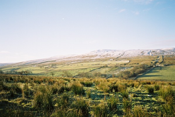
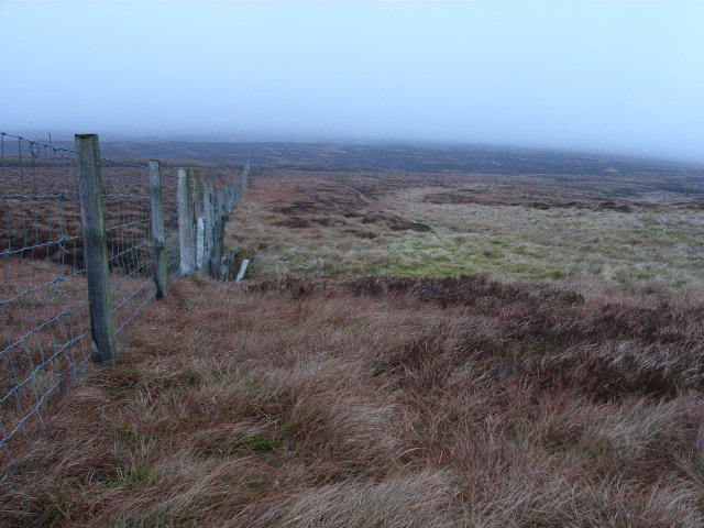
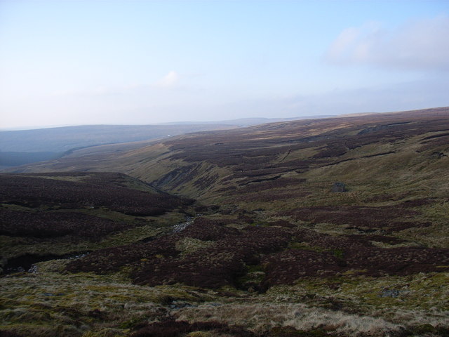
Ashgill Wood Images

Images are sourced within 2km of 54.755385/-2.3497258 or Grid Reference NY7740. Thanks to Geograph Open Source API. All images are credited.

Summit cairn of Dead Stones Summit cairns are often simple piles of stones but that at the 709 m. top of Dead Stones is a well-constructed pillar.
The bulk of Burnhope Seat is distant.
Summit cairn of Dead Stones
Summit cairns are often simple piles of stones but that at the 709 m. top of Dead Stones is a well-constructed pillar. The bulk of Burnhope Seat is distant.
Old Boundary Marker near Perry's Dam, Nenthead Mine Reservoir Boundary Marker against a wire fence northwest of Perry's Dam, south of Nenthead. Alston Moor parish. Inscribed P and A on opposite faces. Information on Perry’s Dam, a Scheduled Monument, see <span class="nowrap"><a title="https://historicengland.org.uk/listing/the-list/list-entry/1015859" rel="nofollow ugc noopener" href="https://historicengland.org.uk/listing/the-list/list-entry/1015859">Link</a><img style="margin-left:2px;" alt="External link" title="External link - shift click to open in new window" src="https://s1.geograph.org.uk/img/external.png" width="10" height="10"/></span>. See also <a title="https://www.geograph.org.uk/photo/4538228" href="https://www.geograph.org.uk/photo/4538228">Link</a>.

Milestone Society National ID: CU_ALSM14em
Old Boundary Marker near Perry's Dam, Nenthead
Mine Reservoir Boundary Marker against a wire fence northwest of Perry's Dam, south of Nenthead. Alston Moor parish. Inscribed P and A on opposite faces. Information on Perry’s Dam, a Scheduled Monument, see LinkExternal link. See also Link. Milestone Society National ID: CU_ALSM14em
Old Boundary Marker near Perry's Dam, Nenthead Mine Reservoir Boundary Marker against a wire fence northeast of Perry's Dam, south of Nenthead. Alston Moor parish. Inscribed P and A on opposite faces. For information on Perry’s Dam, a Scheduled Monument, see <span class="nowrap"><a title="https://historicengland.org.uk/listing/the-list/list-entry/1015859" rel="nofollow ugc noopener" href="https://historicengland.org.uk/listing/the-list/list-entry/1015859">Link</a><img style="margin-left:2px;" alt="External link" title="External link - shift click to open in new window" src="https://s1.geograph.org.uk/img/external.png" width="10" height="10"/></span>.

Milestone Society National ID: CU_ALSM15em
Old Boundary Marker near Perry's Dam, Nenthead
Mine Reservoir Boundary Marker against a wire fence northeast of Perry's Dam, south of Nenthead. Alston Moor parish. Inscribed P and A on opposite faces. For information on Perry’s Dam, a Scheduled Monument, see LinkExternal link. Milestone Society National ID: CU_ALSM15em
Hut and cairn, Dead Stones
Little Gill Hush Hushes were created by mineworkers in order to expose the underlying bedrock. Watercourses were diverted, dammed and then released to create a man-made ravine whereby the geology could be assessed. Just below this hush there is the entrance to a level.
Little Gill Hush
Hushes were created by mineworkers in order to expose the underlying bedrock. Watercourses were diverted, dammed and then released to create a man-made ravine whereby the geology could be assessed. Just below this hush there is the entrance to a level.
Little Gill in mist
Little Gill in mist
High Ashgill
High Ashgill
River South Tyne
River South Tyne
The slopes of Burnhope Seat
Noonstones Hill The view across the South Tyne valley from High Ashgill.
Noonstones Hill
The view across the South Tyne valley from High Ashgill.
Between Burnhope Seat and Dead Stones Just south of the boggy crossing of Sallygrain Head (it's all bog around here).
Between Burnhope Seat and Dead Stones
Just south of the boggy crossing of Sallygrain Head (it's all bog around here).
River South Tyne From the footbridge on the footpath between High Ashgill and West Ashgill.
River South Tyne
From the footbridge on the footpath between High Ashgill and West Ashgill.
Little Gill, upper reaches The valley of Little Gill can be seen passing through a narrow gap having started off sprawlingly on Burnhope Seat.
Little Gill, upper reaches
The valley of Little Gill can be seen passing through a narrow gap having started off sprawlingly on Burnhope Seat.
High Ashgill House and attached longbarn conversion.
High Ashgill
House and attached longbarn conversion.
River South Tyne The river, shallow here, tumbles over rapids and small waterfalls.
River South Tyne
The river, shallow here, tumbles over rapids and small waterfalls.
The B6277 Looking down to Ashgill Farm from High Ashgill.
The B6277
Looking down to Ashgill Farm from High Ashgill.
Pastures, High Ashgill Looking across the South Tyne valley - the silage bales and a barely visible barn are at Dorthgill.
Pastures, High Ashgill
Looking across the South Tyne valley - the silage bales and a barely visible barn are at Dorthgill.
Pasture and plantation, High Ashgill The deciduous trees are the remnants of more extensive woodland. The main road runs alongside the conifers.
Pasture and plantation, High Ashgill
The deciduous trees are the remnants of more extensive woodland. The main road runs alongside the conifers.
Show me another place!

Ashgill Wood is located at Grid Ref: NY7740 (Lat: 54.755385, Lng: -2.3497258)

Administrative County: Cumbria

District: Eden

Police Authority: Cumbria

What 3 Words

///comforted.nurses.section. Near Alston, Cumbria

Nearby Locations

Harelaw Hill Ashgill Wood

Related Wikis

Ashgill Force

Ashgill Force is a waterfall near Alston, Cumbria, England. The fall is located on Ashgill Beck and is reasonably easily accessible from the B6277 (which...

Burnhope Seat

Burnhope Seat is a high moorland fell in the North Pennines Area of Outstanding Natural Beauty (AONB) in northern England. It lies between the heads of...

Garrigill

Garrigill, Cumbria is a small village in the North Pennine region of the UK, situated on the banks and close to the source of the River South Tyne. Historically...

Nenthead

Nenthead ( NENT-hed) in the county of Cumbria is one of England's highest villages, at around 1,437 feet (438 m). It was not built until the middle of...

Rampghill mine

Rampgill mine is a disused lead mine at Nenthead, Alston Moor, Cumbria, England UK Grid Reference: NY78184351It was one of the most extensive and productive...

Killhope Cross

Killhope Cross (elevation 627 m; 2,057 ft) is a mountain pass in the English Pennines. The pass divides Weardale to the east and Cumbria to the west. The...

Moorhouse and Cross Fell

Moorhouse and Cross Fell is a Site of Special Scientific Interest covering an extensive area of moorland in the Wear Valley district of west County Durham...

Old Moss Lead Vein

Old Moss Lead Vein, also known as Killhope Head, is a Site of Special Scientific Interest in the Wear Valley district of County Durham, England. It consists...

Nearby Amenities

Located within 500m of 54.755385,-2.3497258
Ford: yes
Lat/Long: 54.758279/-2.3522847
The data included in this document is from www.openstreetmap.org. The data is made available under ODbL.

Have you been to Ashgill Wood?

Leave your review of Ashgill Wood below (or comments, questions and feedback).