Clayland Coppice

Wood, Forest in Dorset

England

Clayland Coppice

Five Marys tumuli
Five Marys tumuli Credit: Becky Williamson

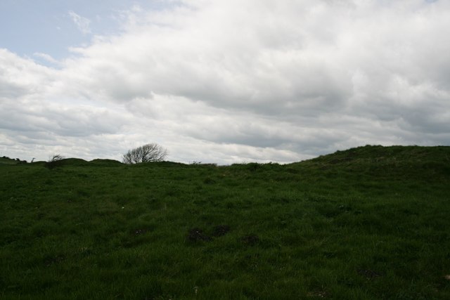
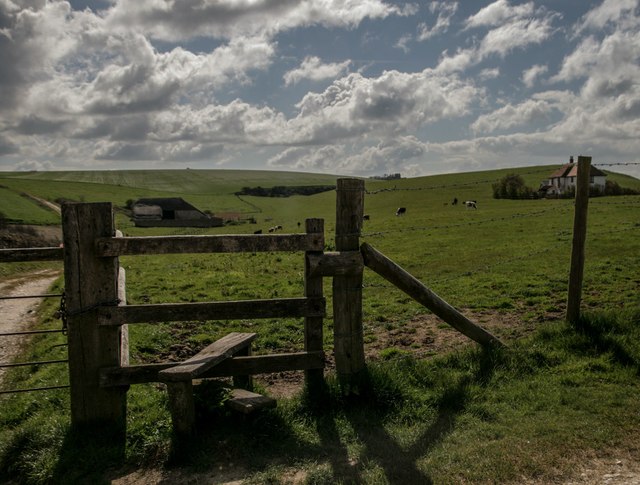
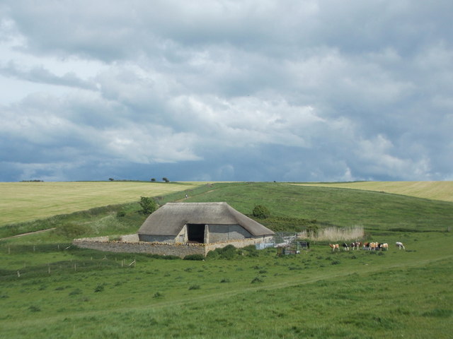
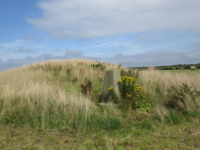
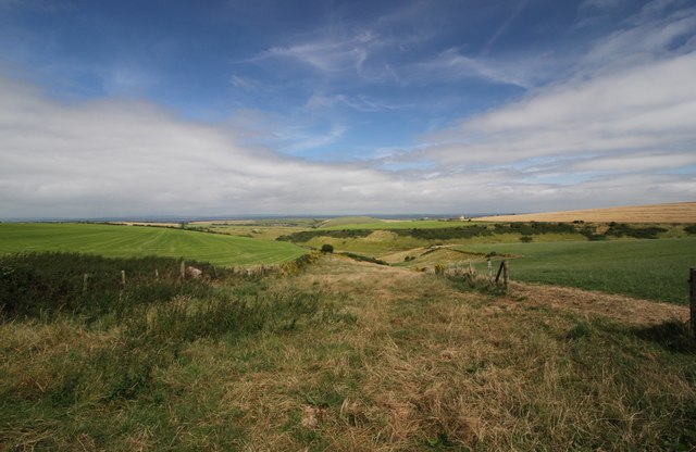
Clayland Coppice is a picturesque woodland located in the county of Dorset, England. Spanning over several acres, it is nestled in the heart of the countryside, offering a serene and tranquil escape for nature lovers and outdoor enthusiasts alike.

The coppice, named after the rich clay soil found in the area, is characterized by its dense and diverse vegetation. Towering oak, beech, and birch trees dominate the landscape, their branches forming a canopy that provides shade and shelter to the myriad of flora and fauna residing within. Bluebells, primroses, and wild garlic carpet the forest floor during spring, creating a vibrant burst of color.

The woodland is home to a variety of wildlife species. Squirrels scamper along the branches, while badgers and foxes roam the forest floor. Birdwatchers will delight in spotting various avian residents, such as woodpeckers, owls, and finches. The gentle babbling of a nearby stream adds to the peaceful ambiance of the coppice.

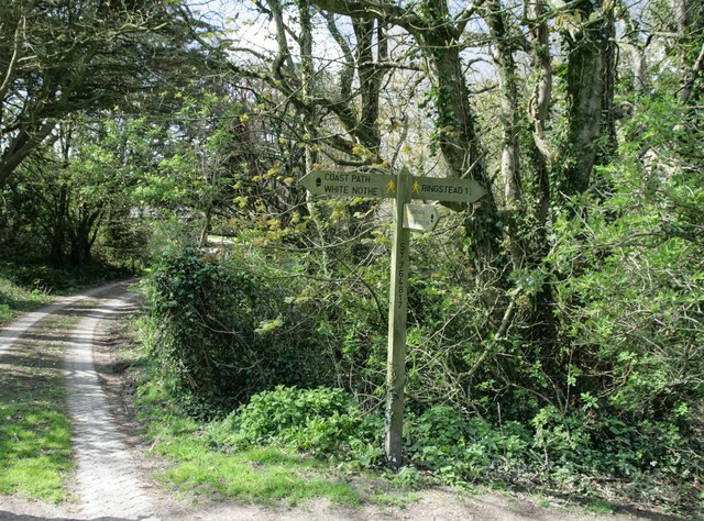
Visitors to Clayland Coppice can enjoy a range of activities. There are well-maintained walking trails that wind through the woodland, allowing visitors to explore at their own pace. The dense foliage also makes it an ideal location for camping and picnicking, with designated areas available for such activities. Additionally, the woodland has become a popular spot for nature photography and meditation due to its serene atmosphere and scenic vistas.

Overall, Clayland Coppice in Dorset is a haven of natural beauty, providing a sanctuary for both wildlife and humans alike. Its lush vegetation, diverse wildlife, and recreational opportunities make it a must-visit destination for anyone seeking a peaceful and immersive woodland experience.

If you have any feedback on the listing, please let us know in the comments section below.

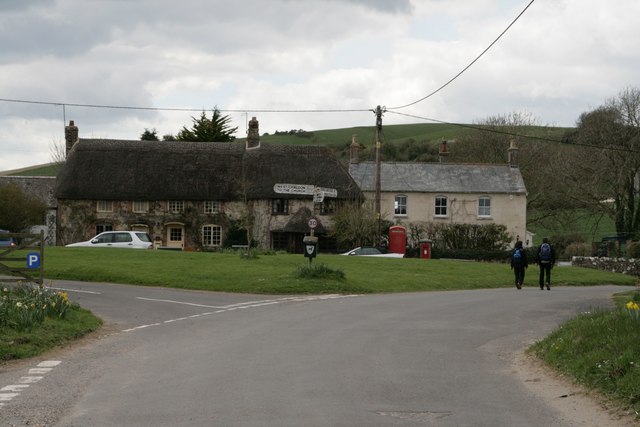
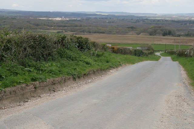
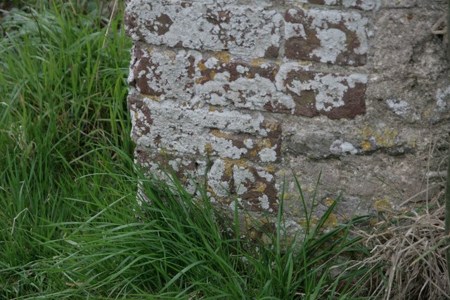
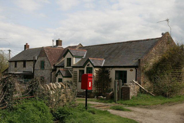
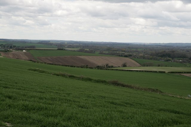
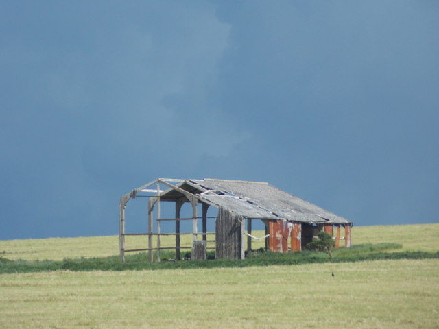
Clayland Coppice Images

Images are sourced within 2km of 50.648896/-2.3208959 or Grid Reference SY7783. Thanks to Geograph Open Source API. All images are credited.

Five Marys tumuli
Five Marys tumuli
Chaldon Herring Village Centre
Signpost on South-west Coast Path
Road north of Holworth Owermoigne Down barn roof can just be seen to the left of the road.
Road north of Holworth
Owermoigne Down barn roof can just be seen to the left of the road.
Stile and footpath past Brimstone Bottom Barn
Painted sign at North Holworth Farm
Ridgeway path west of the Five Marys
Vicarage Farm, Chaldon Herring There is an Ordnance Survey benchmark on this building. See <a href="https://www.geograph.org.uk/photo/4923880">SY7983 : Benchmark on Vicarage Farm, Chaldon Herring</a>.
Vicarage Farm, Chaldon Herring
There is an Ordnance Survey benchmark on this building. See SY7983 : Benchmark on Vicarage Farm, Chaldon Herring.
Benchmark on Vicarage Farm, Chaldon Herring Ordnance Survey benchmark, described on database at <span class="nowrap"><a title="http://www.bench-marks.org.uk/bm75118" rel="nofollow ugc noopener" href="http://www.bench-marks.org.uk/bm75118">Link</a><img style="margin-left:2px;" alt="External link" title="External link - shift click to open in new window" src="https://s1.geograph.org.uk/img/external.png" width="10" height="10"/></span>. See also <a href="https://www.geograph.org.uk/photo/4923878">SY7983 : Vicarage Farm, Chaldon Herring</a>.
Benchmark on Vicarage Farm, Chaldon Herring
Ordnance Survey benchmark, described on database at LinkExternal link. See also SY7983 : Vicarage Farm, Chaldon Herring.
Cottages and letterbox at Holworth
Lord's Barrow near Owermoigne Bronze age burial ground.
Lord's Barrow near Owermoigne
Bronze age burial ground.
Holworth: a derelict barn Looking along the northern edge of this square towards a decrepit looking barn on Brimstone Bottom. The darkish clouds look threatening but in fact the sunny appearance of the ground was far more representative of today's lovely weather - I don't think it rained all day nearby.
Holworth: a derelict barn
Looking along the northern edge of this square towards a decrepit looking barn on Brimstone Bottom. The darkish clouds look threatening but in fact the sunny appearance of the ground was far more representative of today's lovely weather - I don't think it rained all day nearby.
Holworth: a thatched barn A well built barn, a contrast to the sorry state of the one beyond but just out of sight to our left, <a href="https://www.geograph.org.uk/photo/4963779">SY7681 : Holworth: a derelict barn</a>.
Holworth: a thatched barn
A well built barn, a contrast to the sorry state of the one beyond but just out of sight to our left, SY7681 : Holworth: a derelict barn.
West Chaldon: postbox bristles Detail of the posting slot on <a href="https://www.geograph.org.uk/photo/1415411">SY7782 : West Chaldon: postbox № DT2 11</a>.

Bristles have been attached to prevent snails from getting inside. Apparently they do not like the bristles tickling their undersides. The practice originated in November 2000 in the West Country, where the problem was particularly prevalent - especially with boxes set into walls with ivy or similar vegetation growing up around them.

As you can see, a couple of snails are in the immediate vicinity of the slot.
West Chaldon: postbox bristles
Detail of the posting slot on SY7782 : West Chaldon: postbox № DT2 11. Bristles have been attached to prevent snails from getting inside. Apparently they do not like the bristles tickling their undersides. The practice originated in November 2000 in the West Country, where the problem was particularly prevalent - especially with boxes set into walls with ivy or similar vegetation growing up around them. As you can see, a couple of snails are in the immediate vicinity of the slot.
Owermogne: tractor tracks in a green field Tractor tyre tracks pick out the contours of the ridge between Owermoigne and West Chaldon - the kink on the left is thanks to the field edge skirting round a disused pit.

The road signs facing the other way are a warning of cattle crossing (the building alongside us is marked on the map as a dairy) and, the nearer one, denoting a passing place.
Owermogne: tractor tracks in a green field
Tractor tyre tracks pick out the contours of the ridge between Owermoigne and West Chaldon - the kink on the left is thanks to the field edge skirting round a disused pit. The road signs facing the other way are a warning of cattle crossing (the building alongside us is marked on the map as a dairy) and, the nearer one, denoting a passing place.
Paraglider at Ringstead car park
Moigns Down trigpoint
Down Barn, Chaldon Down Looking North from just inland of White Nothe towards West Chaldon.
Down Barn, Chaldon Down
Looking North from just inland of White Nothe towards West Chaldon.
Show me another place!

Clayland Coppice is located at Grid Ref: SY7783 (Lat: 50.648896, Lng: -2.3208959)

Unitary Authority: Dorset

Police Authority: Dorset

What 3 Words

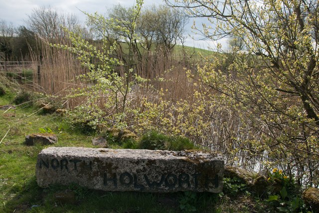
///snowboard.jaws.blemishes. Near Overcombe, Dorset

Related Wikis

Bindon Liberty

Bindon Liberty was a liberty in the county of Dorset, England, containing the following parishes: Chaldon Herring Edmondsham (part) Moreton (part) Pulham...

Chaldon Herring

Chaldon Herring or East Chaldon is a village and civil parish in the English county of Dorset, about 8 miles (13 km) south-east of the county town of Dorchester...

Five Marys

The Five Marys is a group of Bronze Age round barrows near the village of Chaldon Herring, in Dorset, England. The site is a scheduled monument. ��2�...

St Catherine-by-the-Sea, Holworth

St Catherine-by-the-Sea is a Church of England church in Holworth, Dorset, England. The small wooden church, which forms part of the Watercombe Benefice...

Owermoigne

Owermoigne ( OH-ər-MOYN) is a village and civil parish in the county of Dorset in southern England, situated 6 miles (9.7 km) south-east of Dorchester...

Chaldon Hill

Chaldon Hill, also called Chaldon Down, is one of the highest hills, 178 metres (584 ft), on South Dorset's Jurassic Coast in England. The summit is about...

Burning Cliff

Burning Cliff is a cliff under the White Nothe headland at the eastern end of Ringstead Bay, in Dorset, England. The area is well known for its geology...

RAF Ringstead

RAF Ringstead is a former Royal Air Force radar station at Ringstead Bay, Dorset, England. It is notable for having served three separate functions: first...

Have you been to Clayland Coppice?

Leave your review of Clayland Coppice below (or comments, questions and feedback).