Aird Heisgeir

Settlement in Inverness-shire

Scotland

Aird Heisgeir

The Manse of the Free Presbyterian Church, Bayhead, North Uist The church is on the left and the Manse to the right.
The Manse of the Free Presbyterian Church, Bayhead, North Uist Credit: Julian Paren

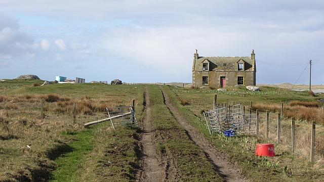
Aird Heisgeir is a small coastal village located in the Inverness-shire region of Scotland. Situated on the west coast of the Highlands, it lies at the mouth of the River Ness, overlooking the Moray Firth. With a population of around 500 residents, it is a close-knit community that thrives on its picturesque setting and maritime heritage.

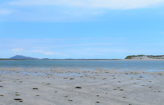
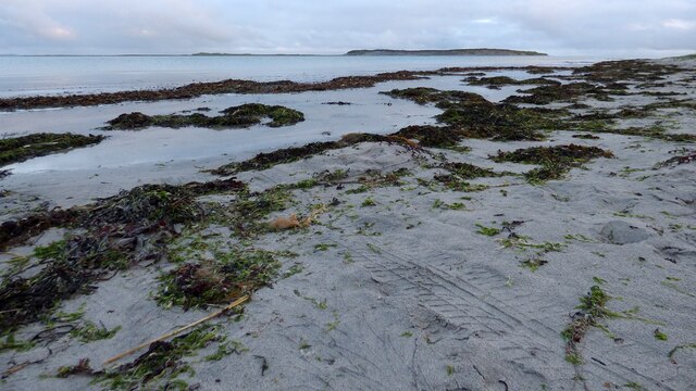
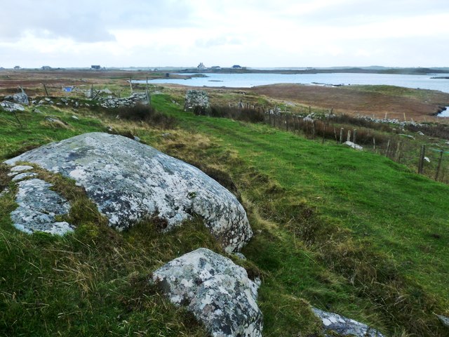
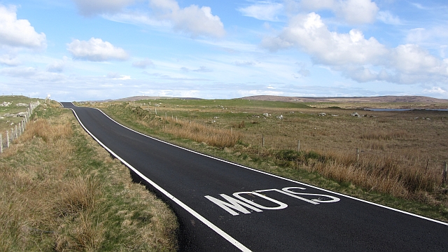
The village is known for its stunning natural beauty, with rugged cliffs, sandy beaches, and panoramic views of the sea. It offers a peaceful and idyllic retreat for visitors seeking tranquility and a chance to connect with nature. The area is also rich in wildlife, with frequent sightings of dolphins, seals, and various seabirds.

Aird Heisgeir has a strong fishing tradition, and the local economy is still influenced by its maritime roots. The village is home to a small fishing fleet that brings in fresh catches of haddock, mackerel, and salmon. The fish market in Aird Heisgeir is a popular spot for locals and visitors looking to sample the region's seafood delicacies.

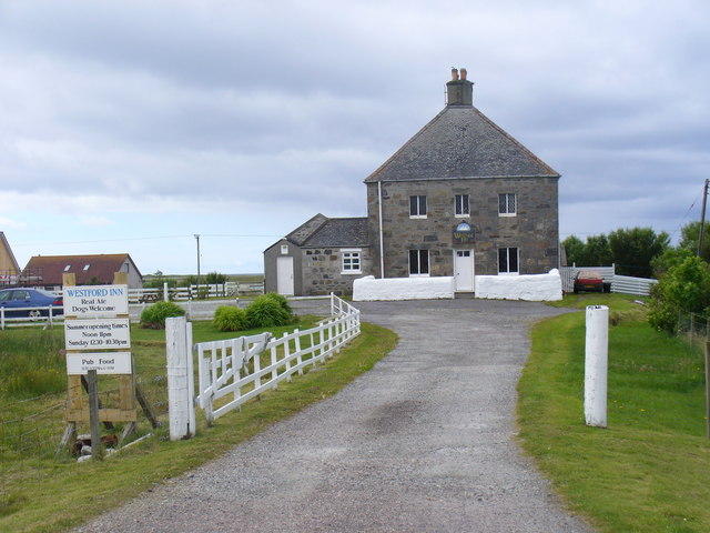
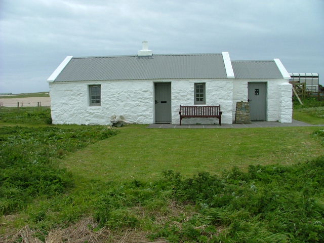
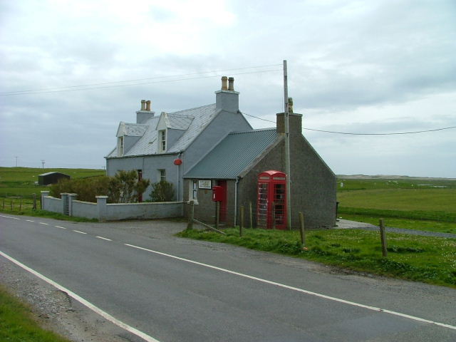
In terms of amenities, Aird Heisgeir has a few shops, cafes, and a pub that serves as the social hub of the village. The nearby countryside offers opportunities for hiking, cycling, and exploring ancient ruins such as the nearby Dun Deardail hill fort.

Overall, Aird Heisgeir is a charming coastal village that offers a peaceful escape from urban life, with its natural beauty, maritime heritage, and friendly community.

If you have any feedback on the listing, please let us know in the comments section below.

Aird Heisgeir Images

Images are sourced within 2km of 57.576403/-7.422496 or Grid Reference NF7667. Thanks to Geograph Open Source API. All images are credited.
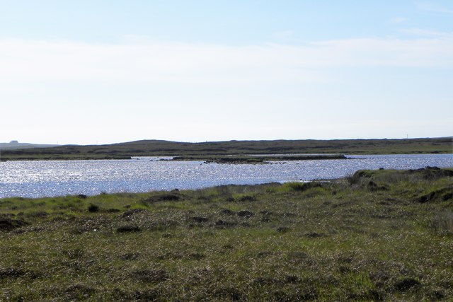
The Manse of the Free Presbyterian Church, Bayhead, North Uist The church is on the left and the Manse to the right.
The Manse of the Free Presbyterian Church, Bayhead, North Uist
The church is on the left and the Manse to the right.
North Uist School This is a fine new school, but there has been controversy and pain associated with its build.  There was previously a small secondary school here, which closed in 2012, with all pupils being transferred to Sgoil Lionacleit in Benbecula.  

This new school is a primary school and is now the sole primary school in North Uist, with all the previous smaller schools closed and pupils bussed daily from their homes.
North Uist School
This is a fine new school, but there has been controversy and pain associated with its build. There was previously a small secondary school here, which closed in 2012, with all pupils being transferred to Sgoil Lionacleit in Benbecula. This new school is a primary school and is now the sole primary school in North Uist, with all the previous smaller schools closed and pupils bussed daily from their homes.
Old Milestone by the A865, Bayhead, North Uist Granite slab by the A865, in parish of North Uist (North Uist District), Bayhead, in passing place East of 'SLOW' on road.

Surveyed

Milestone Society National ID: WI_NUCW04
Old Milestone by the A865, Bayhead, North Uist
Granite slab by the A865, in parish of North Uist (North Uist District), Bayhead, in passing place East of 'SLOW' on road. Surveyed Milestone Society National ID: WI_NUCW04
Floral machair The machair is a wonderful grassland ecosystem, that is fast getting quite rare as farming pratcises change. It houses a wide range of flowering plants and in summer is a wonderful sight.
Floral machair
The machair is a wonderful grassland ecosystem, that is fast getting quite rare as farming pratcises change. It houses a wide range of flowering plants and in summer is a wonderful sight.
Loch Bruist One of the innumerable small lochs that dot the North Uist landscape.
Loch Bruist
One of the innumerable small lochs that dot the North Uist landscape.
Loch Ardheisgeir Tidal, freshwater or brackish? I suspect it is the last of these three, and like other near sea level lochs around the Uists [Loch Bi on South Uist is a good example] it might be invaded by seawater on high spring tides.
Loch Ardheisgeir
Tidal, freshwater or brackish? I suspect it is the last of these three, and like other near sea level lochs around the Uists [Loch Bi on South Uist is a good example] it might be invaded by seawater on high spring tides.
Miles of sand - Caolas Phaibell Looking out across the tidal flats between 'mainland' North Uist and the island of Kirkibost, which is off picture to the right.
Miles of sand - Caolas Phaibell
Looking out across the tidal flats between 'mainland' North Uist and the island of Kirkibost, which is off picture to the right.
Sand and sea channels Oitir Mhor Large areas of sand between 'mainland' North Uist and the sandy island of Kirkibost, the dunes on that island being visible to the right.
Sand and sea channels Oitir Mhor
Large areas of sand between 'mainland' North Uist and the sandy island of Kirkibost, the dunes on that island being visible to the right.
Shoreline at Sgeir a' Chotain As one heads south westwards along this beach, so white sand tends to give way to pebble and seaweed. The northern end of Kirkibost Island is to the left, whilst to the south the view is towards the big hills of South Uist, the low island of Benbecula hardly showing at all.
Shoreline at Sgeir a' Chotain
As one heads south westwards along this beach, so white sand tends to give way to pebble and seaweed. The northern end of Kirkibost Island is to the left, whilst to the south the view is towards the big hills of South Uist, the low island of Benbecula hardly showing at all.
Looking south east towards Oitir Fhiadhaich A seawater channel separates the camera position from the sandbank of Oitir Fhiadhaich with the north west end of Kirkibost Island beyond. In the distance is Ruabhal, the only hill of note on Benbecula.
Looking south east towards Oitir Fhiadhaich
A seawater channel separates the camera position from the sandbank of Oitir Fhiadhaich with the north west end of Kirkibost Island beyond. In the distance is Ruabhal, the only hill of note on Benbecula.
Vehicle graveyard One of many little out of the way corners on the Uists where old and unwanted vehicles come to die. Is there no scrap yard on the Western isles?
Vehicle graveyard
One of many little out of the way corners on the Uists where old and unwanted vehicles come to die. Is there no scrap yard on the Western isles?
Sand, sea and Kirkibost Island
Westford Inn Substantial stone house at Claddach on the west coast of North Uist - an inn and a B&B.
Westford Inn
Substantial stone house at Claddach on the west coast of North Uist - an inn and a B&B.
Bayhead Ceann a' Bhaigh - old church and house on the west coast of North Uist.
Bayhead
Ceann a' Bhaigh - old church and house on the west coast of North Uist.
Loch nan Athan
Loch nan Athan
Moor track by Loch Dubhasairidh An access route over wet boggy ground to the peat cuttings
Moor track by Loch Dubhasairidh
An access route over wet boggy ground to the peat cuttings
Abandoned house, Cladach a' Chaolais Old housing stock on the west side of North Uist.
Abandoned house, Cladach a' Chaolais
Old housing stock on the west side of North Uist.
New road surface, A865 Newly resurfaced single track road.
New road surface, A865
Newly resurfaced single track road.
Show me another place!

Aird Heisgeir is located at Grid Ref: NF7667 (Lat: 57.576403, Lng: -7.422496)

Unitary Authority: Na h-Eileanan an Iar

Police Authority: Highlands and Islands

Also known as: Ardheisker

What 3 Words

///hotel.reported.observers. Near Balivanich, Na h-Eileanan Siar

Related Wikis

Ardheisker

Ardheisker (Scottish Gaelic: Àird Heillsgeir) is a settlement on North Uist, in the Outer Hebrides, Scotland. Ardheisker is within the parish of North...

Kirkibost

Kirkibost (Scottish Gaelic: Eilean Chirceaboist) is a low-lying island west of North Uist in the Outer Hebrides of Scotland. == Geography == Kirkibost...

RRH Benbecula

Remote Radar Head Benbecula or RRH Benbecula, is an air defence radar station operated by the Royal Air Force. It is located at Cleitreabhal a'Deas, 17...

Baleshare

Baleshare (Scottish Gaelic: Baile Sear) is a flat tidal island in the Outer Hebrides of Scotland. Baleshare lies to the south-west of North Uist. Its economics...

North Uist

North Uist (Scottish Gaelic: Uibhist a Tuath; Scots: North Uise) is an island and community in the Outer Hebrides of Scotland. == Etymology == In Donald...

Balranald Nature Reserve

The Balranald Nature Reserve is an RSPB reserve on the north west coast of North Uist, Outer Hebrides, Scotland. The reserve is open all year round and...

Tigharry

Tigharry (Scottish Gaelic: Taigh a' Ghearraidh) is a small village on the west of North Uist. It is mostly a farming community. There are a few rocky beaches...

Aird an Rùnair

Aird an Rùnair is the most westerly point of the island of North Uist in the Western Isles of Scotland. The headland is approximately 4 kilometres (2.5...

Nearby Amenities

Located within 500m of 57.576403,-7.422496
Àird Heisgeir
Name En: Ardheisker
Name Gd: Àird Heisgeir
Natural: cape
Source Name: OS OpenData StreetView
Wikidata: Q4788034
Wikipedia: en:Ardheisker
Lat/Long: 57.5786677/-7.4190116
Power: pole
Lat/Long: 57.5791748/-7.4166429
Power: pole
Lat/Long: 57.5796327/-7.4171909
The data included in this document is from www.openstreetmap.org. The data is made available under ODbL.

Have you been to Aird Heisgeir?

Leave your review of Aird Heisgeir below (or comments, questions and feedback).