Downhouse Coppice
Wood, Forest in Worcestershire Forest of Dean
England
Downhouse Coppice
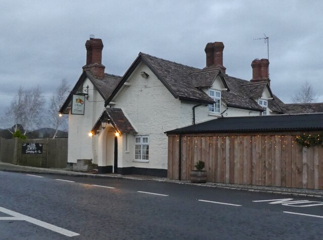
Downhouse Coppice is a picturesque woodland located in Worcestershire, England. Situated on the outskirts of the village of Great Witley, it covers an area of approximately 50 acres. The coppice is characterized by a diverse range of trees and flora, creating a rich and vibrant ecosystem that is home to various wildlife species.
The woodland is predominantly composed of native broadleaf trees, including oak, ash, beech, and birch. These towering trees provide a dense canopy, casting dappled sunlight onto the forest floor. Underneath, a variety of shrubs, ferns, and wildflowers thrive, adding splashes of color throughout the seasons.
Downhouse Coppice is crisscrossed by a network of well-maintained footpaths, allowing visitors to explore the woodland and appreciate its natural beauty. The paths wind through the trees, offering peaceful and serene surroundings for walkers, joggers, and nature enthusiasts. Along the way, benches and rest areas are strategically placed, providing opportunities for relaxation and birdwatching.
The woodland is also home to a diverse array of wildlife. Roe deer can often be spotted grazing amongst the undergrowth, while badgers and foxes make their homes in the quiet corners of the coppice. The trees are alive with the sounds of various bird species, including woodpeckers, owls, and songbirds, making it a haven for birdwatchers.
Downhouse Coppice is a popular destination for both locals and tourists, offering a tranquil escape from the hustle and bustle of everyday life. Its natural beauty, diverse flora and fauna, and well-maintained paths make it an ideal location for outdoor activities and nature appreciation.
If you have any feedback on the listing, please let us know in the comments section below.
Downhouse Coppice Images
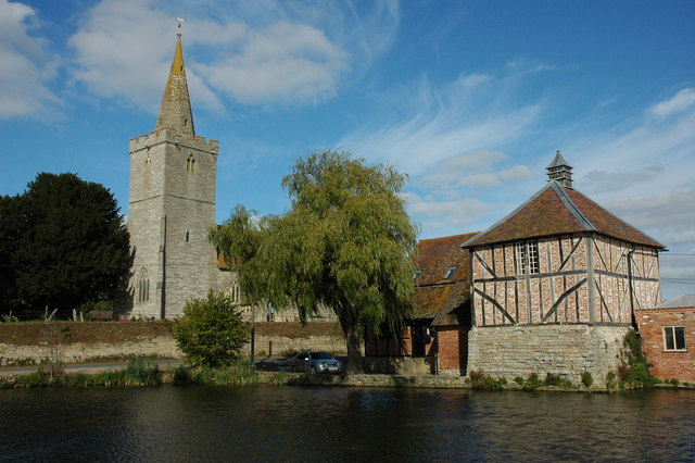
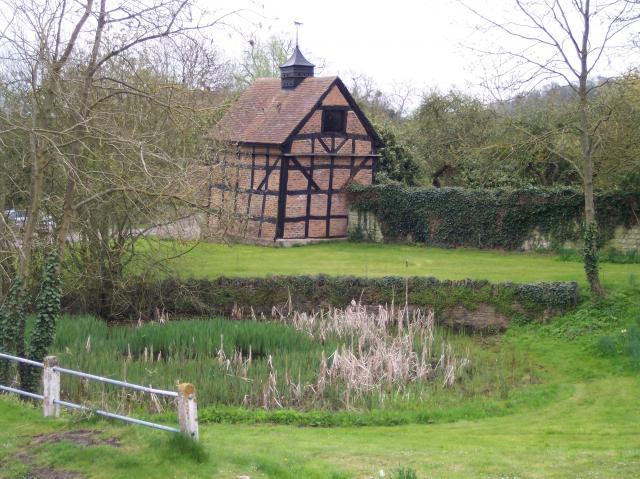
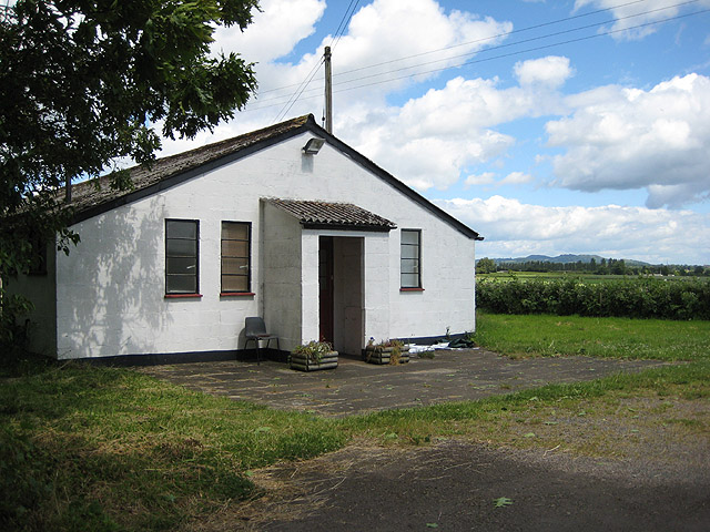
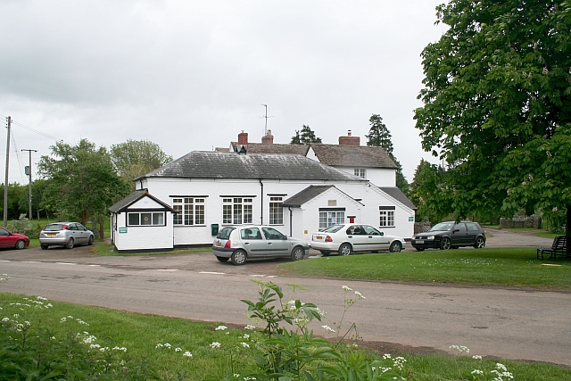
Images are sourced within 2km of 51.974365/-2.3307944 or Grid Reference SO7730. Thanks to Geograph Open Source API. All images are credited.
Downhouse Coppice is located at Grid Ref: SO7730 (Lat: 51.974365, Lng: -2.3307944)
Administrative County: Gloucestershire
District: Forest of Dean
Police Authority: Gloucestershire
What 3 Words
///rotations.unless.rock. Near Corse, Gloucestershire
Nearby Locations
Related Wikis
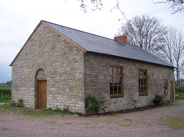
Gadfield Elm Chapel
The Gadfield Elm Chapel near the village of Pendock in Worcestershire, England, is the oldest extant chapel of the Church of Jesus Christ of Latter-day...
Pendock
Pendock is a village and civil parish in the Malvern Hills district in the county of Worcestershire, England, situated about halfway between the towns...
Redmarley D'Abitot
Redmarley D'Abitot is a civil parish and village in the Forest of Dean district, Gloucestershire, South West England. In addition to the village of Redmarley...
Staunton (near Gloucester)
Staunton is a village that lies close to the village of Corse. Staunton is eight miles north of the city of Gloucester. To the south-west of Staunton is...
Eldersfield
Eldersfield is a village and civil parish in the Malvern Hills district of Worcestershire, England. It had a population of 584 in 2021.It stands exactly...
Collinpark Wood SSSI
Collinpark Wood (grid reference SO750278) is a 66.69-hectare (164.8-acre) biological Site of Special Scientific Interest in Gloucestershire, notified in...
Brand Green
Brand Green is a village in Gloucestershire, England. == References == == External links == Media related to Brand Green at Wikimedia Commons
Berrow, Worcestershire
Berrow is a village and civil parish in the Malvern Hills district of Worcestershire, England, about seven miles east of Ledbury. According to the 2021...
Nearby Amenities
Located within 500m of 51.974365,-2.3307944Have you been to Downhouse Coppice?
Leave your review of Downhouse Coppice below (or comments, questions and feedback).


