Foxholes Wood

Wood, Forest in Somerset Mendip

England

Foxholes Wood

Elmhay Park A wedding venue. There is a golf course in the grounds.
Elmhay Park Credit: Julian P Guffogg

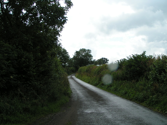
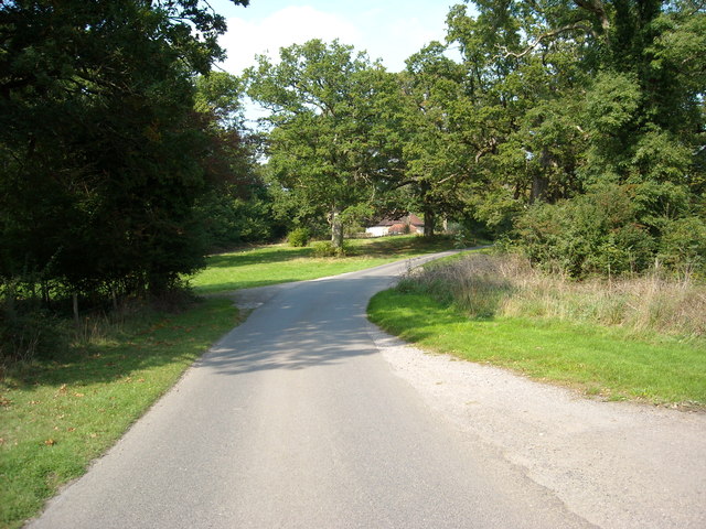
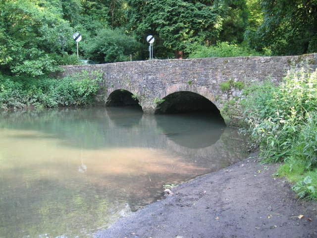
Foxholes Wood is a picturesque forest located in Somerset, England. Nestled in the heart of the county, it covers an area of approximately 50 acres. The woodland is characterized by its dense, ancient trees, creating a serene and peaceful atmosphere that attracts nature enthusiasts and hikers alike.

The wood is home to a diverse range of flora and fauna, making it a haven for wildlife. Visitors can expect to encounter a variety of bird species, including woodpeckers, owls, and songbirds, as well as small mammals such as badgers, foxes, and deer.

Walking trails wind their way through the wood, offering visitors the opportunity to explore its natural beauty. The paths are well-maintained, allowing for easy navigation and providing access to the different areas of the forest. Along the trails, visitors can admire the towering oak, beech, and ash trees that dominate the landscape.

Foxholes Wood is also known for its rich history. It is believed to have been used as a hiding place for local residents during times of conflict, including the English Civil War. The remnants of old fortifications and trenches can still be found scattered throughout the wood, serving as a reminder of its past.

The wood is a popular destination for nature walks, picnics, and photography enthusiasts. Its tranquil ambiance and abundance of natural beauty make it an ideal spot for relaxation and reconnecting with nature. Whether visitors are seeking a peaceful stroll or an immersive wildlife experience, Foxholes Wood offers a delightful escape into the heart of Somerset's natural splendor.

If you have any feedback on the listing, please let us know in the comments section below.

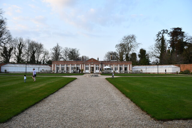
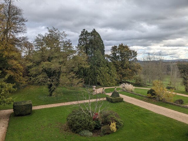
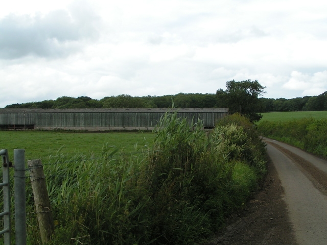
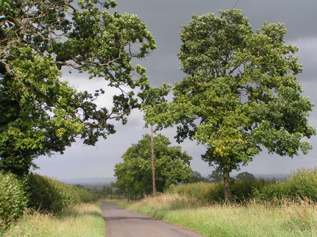
Foxholes Wood Images

Images are sourced within 2km of 51.266161/-2.3257382 or Grid Reference ST7751. Thanks to Geograph Open Source API. All images are credited.

Elmhay Park A wedding venue. There is a golf course in the grounds.
Elmhay Park
A wedding venue. There is a golf course in the grounds.
View from Orchardleigh House
Cowshed on Cock Road
Trees in the sunshine with rain in the distance
Farm track
Farm track
Lane after the rain
Lane after the rain
Bridge over the stream in Laverton
Roman road, now a farm track
Roman road, now a farm track, looking south
Gloucester Lodge and old road sign, Lullington Hoprfully the road sign is now considered to be equivalent to a finger post, as it is at the junction. It points to Oldford and Frome.
Gloucester Lodge and old road sign, Lullington
Hoprfully the road sign is now considered to be equivalent to a finger post, as it is at the junction. It points to Oldford and Frome.
Old road sign at Gloucester Lodge This is hopefully now regarded as a finger post, It points to Woolverton and Bath.
Old road sign at Gloucester Lodge
This is hopefully now regarded as a finger post, It points to Woolverton and Bath.
Lullington: old signpost to Woolverton and Bath One of two old road signs surviving at this junction, the other pointing eastward towards Oldford and Frome. They date from before 1963 when the Worboys Report led to the road signage that is practically universal today. 

The other sign is here: <a href="https://www.geograph.org.uk/photo/4059012">ST7851 : Lullington: old signpost to Oldford and Frome</a>.
Lullington: old signpost to Woolverton and Bath
One of two old road signs surviving at this junction, the other pointing eastward towards Oldford and Frome. They date from before 1963 when the Worboys Report led to the road signage that is practically universal today. The other sign is here: ST7851 : Lullington: old signpost to Oldford and Frome.
Lullington: old signpost to Oldford and Frome One of two old road signs surviving at this junction, the other pointing northward towards Woolverton and Bath. They date from before 1963 when the Worboys Report led to the road signage that is practically universal today. 

The other sign is here: <a href="https://www.geograph.org.uk/photo/4059008">ST7851 : Lullington: old signpost to Woolverton and Bath</a>.
Lullington: old signpost to Oldford and Frome
One of two old road signs surviving at this junction, the other pointing northward towards Woolverton and Bath. They date from before 1963 when the Worboys Report led to the road signage that is practically universal today. The other sign is here: ST7851 : Lullington: old signpost to Woolverton and Bath.
Lullington: postbox № BA11 45 Lullington's postbox is set into a wall alongside Gloucester Lodge, at the road junction somewhat to the east of the village itself.
Lullington: postbox № BA11 45
Lullington's postbox is set into a wall alongside Gloucester Lodge, at the road junction somewhat to the east of the village itself.
Nightingale Lodge, Murtry Hill Private drive, with public footpath running along it.
Nightingale Lodge, Murtry Hill
Private drive, with public footpath running along it.
LAVERTON, Somerset Shown on the OS map as a church without a tower, as you can see St Mary's church does have a tower, albeit not much of one.....
LAVERTON, Somerset
Shown on the OS map as a church without a tower, as you can see St Mary's church does have a tower, albeit not much of one.....
LULLINGTON, Somerset The church of All Saints preserves one of the best Norman doorways in Somerset.
LULLINGTON, Somerset
The church of All Saints preserves one of the best Norman doorways in Somerset.
Staplemead creamery Looking northwest over cropland towards the Staplemead creamery, near Oldford.
Staplemead creamery
Looking northwest over cropland towards the Staplemead creamery, near Oldford.
Show me another place!

Foxholes Wood is located at Grid Ref: ST7751 (Lat: 51.266161, Lng: -2.3257382)

Administrative County: Somerset

District: Mendip

Police Authority: Avon and Somerset

What 3 Words

///dollars.crumb.chain. Near Rode, Somerset

Related Wikis

Orchardleigh Estate

Orchardleigh (also spelled Orchardlea) is a country estate in Somerset, approximately two miles north of Frome, and on the southern edge of the village...

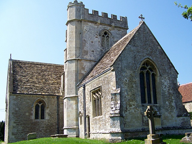
Church of St Mary, Laverton

The Anglican Church of St Mary in Laverton, Lullington, Somerset, England was built in the 11th century. It is a Grade II* listed building. == History... ==

Lullington, Somerset

Lullington is a village and civil parish just across the Mells River from Beckington and 2.5 miles (4.0 km) north east of Frome, in the Mendip district...
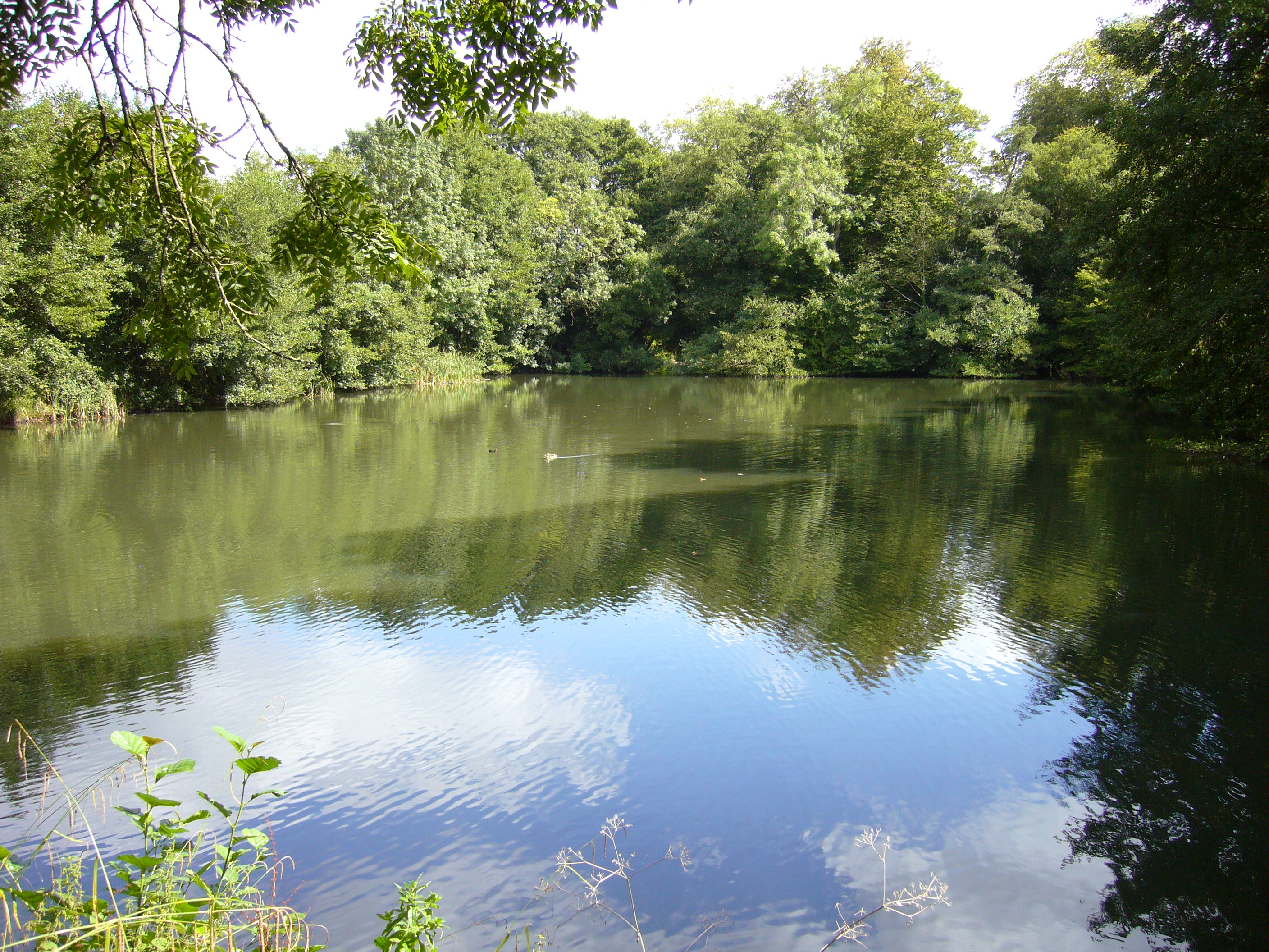
Orchardleigh Lake

Orchardleigh Lake (also spelt Orchardlea) (grid reference ST779508) is an 11.23-hectare artificial lake in the grounds of the Orchardleigh Estate, just...

Buckland Dinham

Buckland Dinham is a small village near Frome in Somerset, England. The village has a population of 381. The village's main industry is farming (arable...

Mells River

The Mells River flows through the eastern Mendip Hills in Somerset, England. It rises at Gurney Slade and flows east joining the River Frome at Frome....

Murtry Aqueduct

Murtry Aqueduct is a three-arched aqueduct that was intended to carry the Dorset and Somerset Canal over the Mells River, near Frome in Somerset, England...

Beckington Castle

Beckington Castle is a historic house in the village of Beckington, Somerset, England. It is a Grade II* listed building.It was built in the early 17th...

Nearby Amenities

Located within 500m of 51.266161,-2.3257382
Golf: pin
Lat/Long: 51.2622265/-2.3225269
Golf: pin
Lat/Long: 51.2631271/-2.3264374
The data included in this document is from www.openstreetmap.org. The data is made available under ODbL.

Have you been to Foxholes Wood?

Leave your review of Foxholes Wood below (or comments, questions and feedback).