Aileshurst Coppice
Wood, Forest in Worcestershire Malvern Hills
England
Aileshurst Coppice
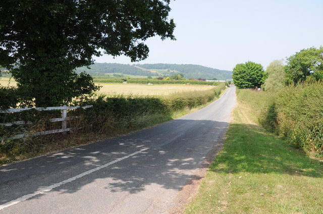
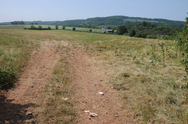
Aileshurst Coppice is a picturesque woodland located in Worcestershire, England. Spanning over an area of approximately 100 acres, this enchanting forest is a natural haven for both flora and fauna. Nestled within the rolling hills of Worcestershire, Aileshurst Coppice is a popular destination for nature lovers, hikers, and birdwatchers.
The woodland boasts a diverse range of tree species, including oak, beech, ash, and birch. The dense canopy of the trees provides a cool and tranquil atmosphere, making it an ideal spot for a leisurely stroll or a peaceful picnic. The forest floor is carpeted with a rich assortment of wildflowers, adding bursts of color to the landscape throughout the year.
Wildlife thrives within the coppice, with an array of bird species making it their home. Visitors may spot woodpeckers, owls, and thrushes, among others, flitting among the branches. Squirrels scamper through the treetops, while foxes and badgers can occasionally be glimpsed exploring the forest floor.
A network of walking trails crisscrosses the woodland, allowing visitors to explore its hidden corners and discover its natural beauty. The paths wind through ancient trees and lead to stunning viewpoints, offering panoramic vistas of the surrounding countryside.
Aileshurst Coppice is not only a haven for wildlife enthusiasts but also a place of historical significance. The woodland has been around for centuries and has witnessed the passage of time. Its ancient trees and undisturbed ecosystem provide a glimpse into the natural heritage of Worcestershire.
Overall, Aileshurst Coppice is a captivating woodland that offers a serene escape from the hustle and bustle of everyday life. With its diverse flora, abundant wildlife, and tranquil atmosphere, it is a place where visitors can immerse themselves in the beauty of nature.
If you have any feedback on the listing, please let us know in the comments section below.
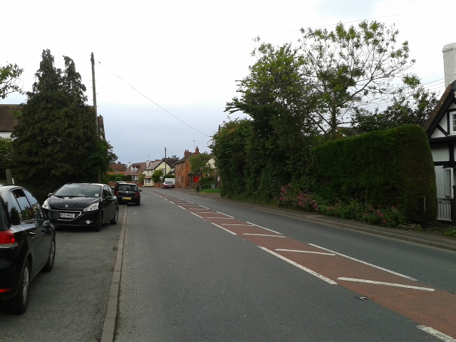
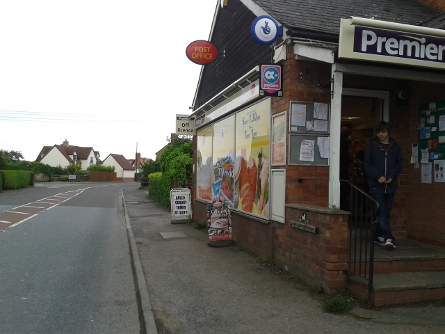
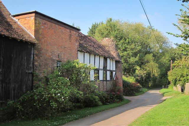
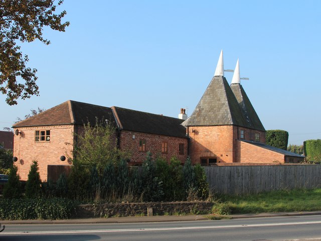
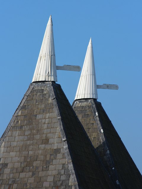
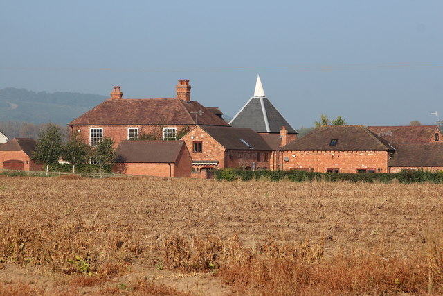
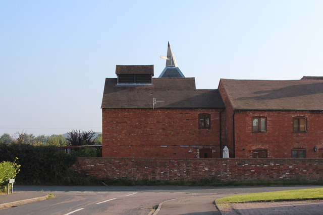
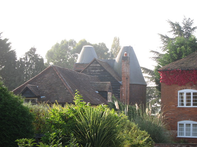
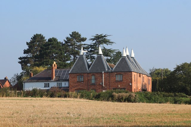
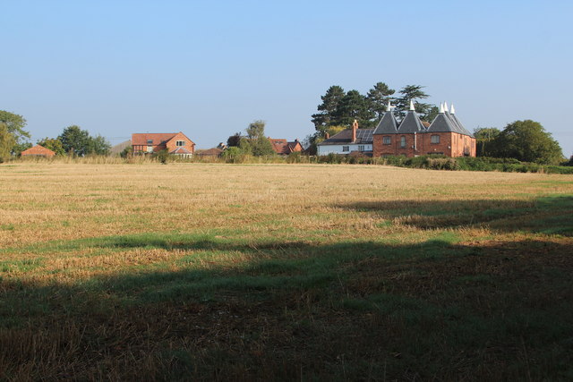
Aileshurst Coppice Images
Images are sourced within 2km of 52.149768/-2.3325176 or Grid Reference SO7750. Thanks to Geograph Open Source API. All images are credited.
Aileshurst Coppice is located at Grid Ref: SO7750 (Lat: 52.149768, Lng: -2.3325176)
Administrative County: Worcestershire
District: Malvern Hills
Police Authority: West Mercia
What 3 Words
///filled.willpower.myself. Near Great Malvern, Worcestershire
Nearby Locations
Related Wikis

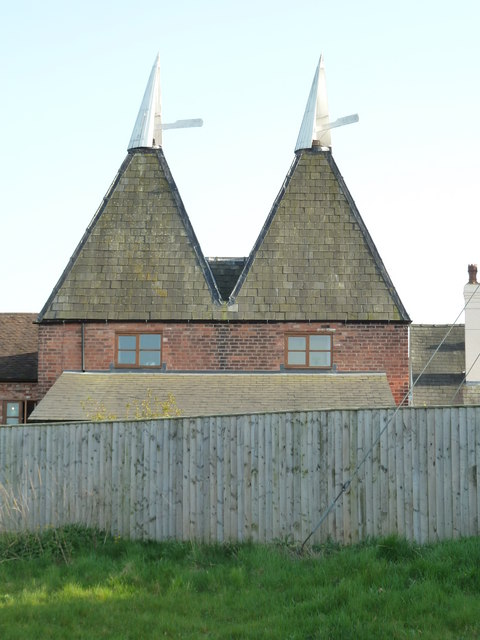
Crowcroft
Crowcroft is a small hamlet just outside Leigh Sinton in Worcestershire, England. The main industry for the area is fruit growing, particularly for local...

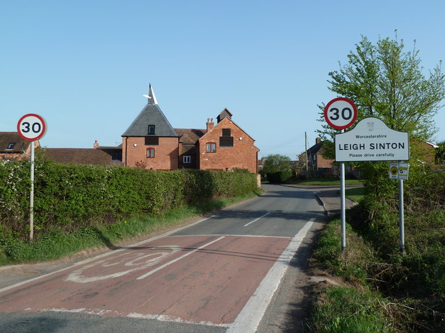
Leigh Sinton
Leigh Sinton is a village in the Malvern Hills district of the county of Worcestershire, England, and one of the constituent places of the civil parish...
Radar Research and Development Establishment
The Radar Research and Development Establishment, RRDE for short, was a civilian research organization run by the United Kingdom's Ministry of Supply that...

Dyson Perrins Church of England Academy
Dyson Perrins CofE Academy is a co-educational secondary school in Malvern, Worcestershire, England. It is named after its benefactor Charles William Dyson...
Newland Halt railway station
Newland Halt railway station was a station in Newland, Worcestershire, England. The station was opened on 18 March 1929 and closed on 5 April 1965. �...

Bransford
Bransford is a village and civil parish in the Malvern Hills district of the county of Worcestershire, England. It is situated close to the River Teme...

West Worcestershire (UK Parliament constituency)
West Worcestershire is a constituency in Worcestershire represented in the House of Commons of the UK Parliament since 2010 by Harriett Baldwin, a Conservative...

Church of the Ascension, Malvern Link
The first completed work by the renowned architect Sir Walter Tapper, this is a Grade II listed church in the parish of Malvern Link and Cowleigh. The...
Related Videos

Hike up Snowdon 29th December 2021
Gusty walk up Snowdon in December.


Trainspotters would love Platform 3 at Malvern Link
Another staycation in the UK and this time we booked something a little different through Sykes Holiday cottages. This is called ...

Driving On The A4103 From Worcester To Leigh Sinton, Worcestershire, UK 31st August 2020
Driving along the A4103 from Worcester through Bransford to Leigh Sinton, Worcestershire, England Videoed on Bank Holiday ...
Nearby Amenities
Located within 500m of 52.149768,-2.3325176Have you been to Aileshurst Coppice?
Leave your review of Aileshurst Coppice below (or comments, questions and feedback).