Moigne Combe Wood
Wood, Forest in Dorset
England
Moigne Combe Wood
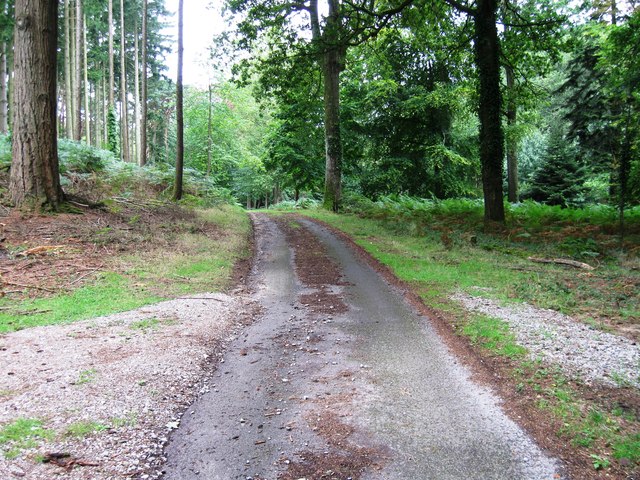
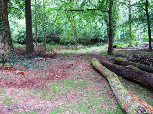
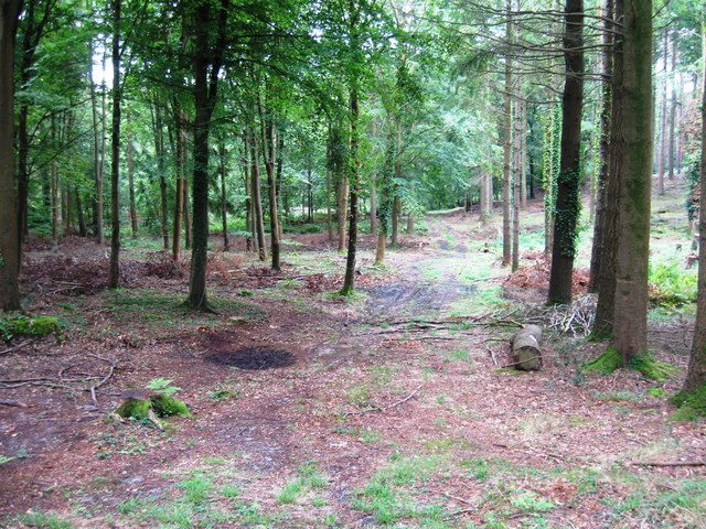
Moigne Combe Wood, located in Dorset, England, is a picturesque woodland area that covers an estimated area of approximately 100 hectares. Situated within the Dorset Area of Outstanding Natural Beauty, the wood is renowned for its diverse flora and fauna, offering visitors a serene and tranquil experience.
The wood is primarily composed of ancient oak trees, which provide a dense canopy that filters the sunlight, creating a dappled and enchanting atmosphere. The rich biodiversity of the area is evident in the variety of plant species that thrive here, including bluebells, primroses, and wood anemones, which carpet the forest floor in a vibrant display during the spring months.
Moigne Combe Wood is a haven for wildlife enthusiasts and bird watchers, as it is home to various bird species such as nuthatches, woodpeckers, and tawny owls. The wood also supports a healthy population of mammals, including deer, badgers, and foxes.
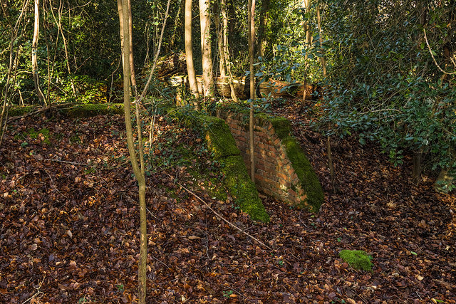
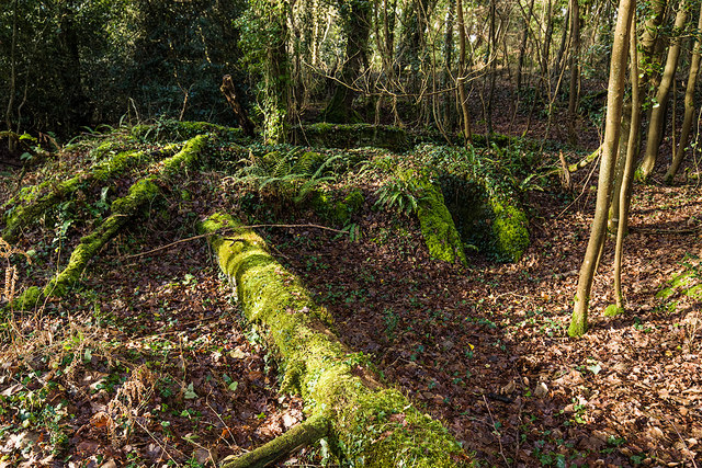
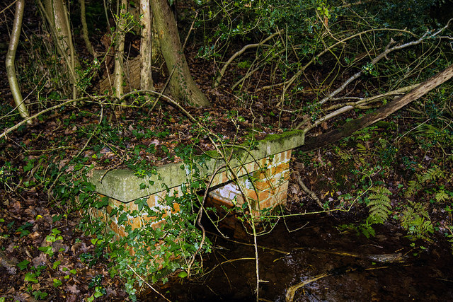
For those seeking outdoor activities, the wood offers numerous trails and pathways that wind through its ancient trees, providing an ideal setting for walking, hiking, and nature photography. The wood is also intersected by a small stream, adding to its natural charm.
Managed by local authorities, Moigne Combe Wood is well-maintained, ensuring that its natural beauty can be enjoyed by visitors for generations to come. With its idyllic setting and diverse wildlife, the wood is a precious gem within the Dorset countryside, attracting nature lovers and adventurers alike.
If you have any feedback on the listing, please let us know in the comments section below.
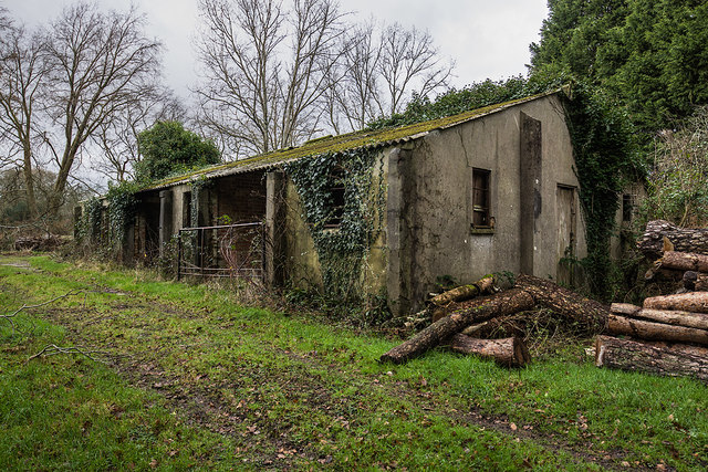
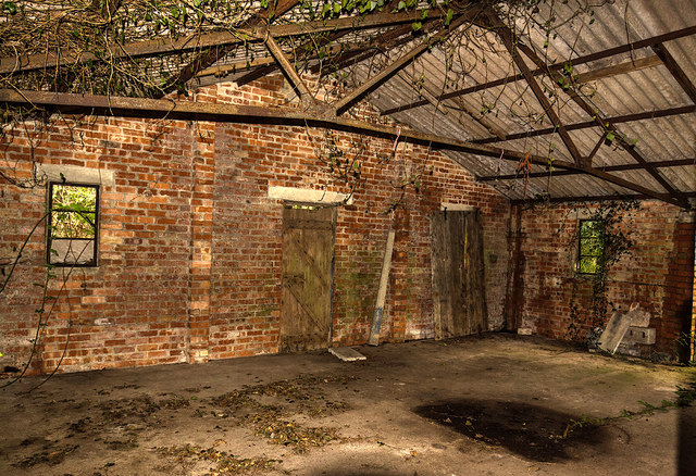
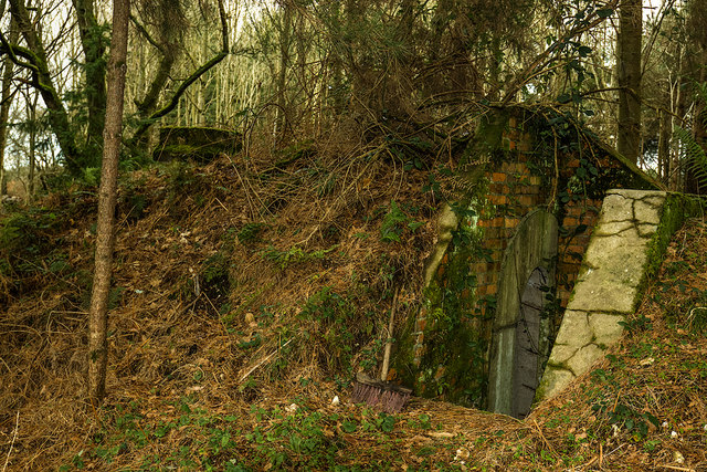
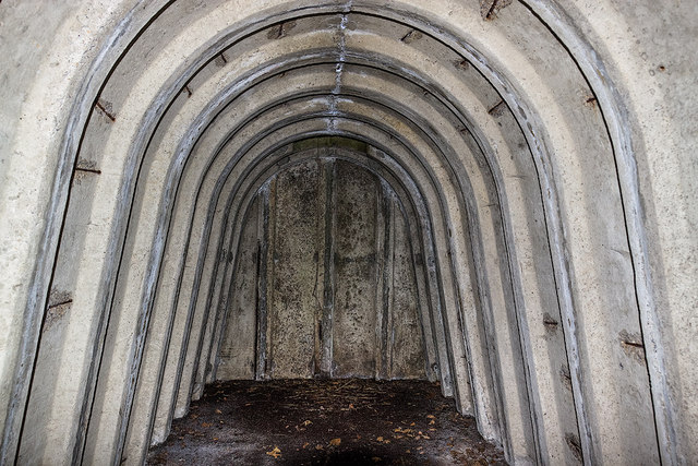
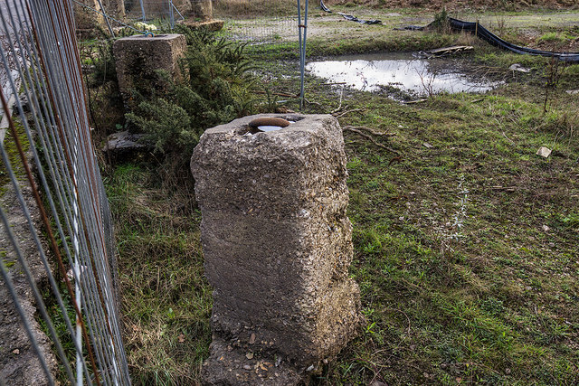
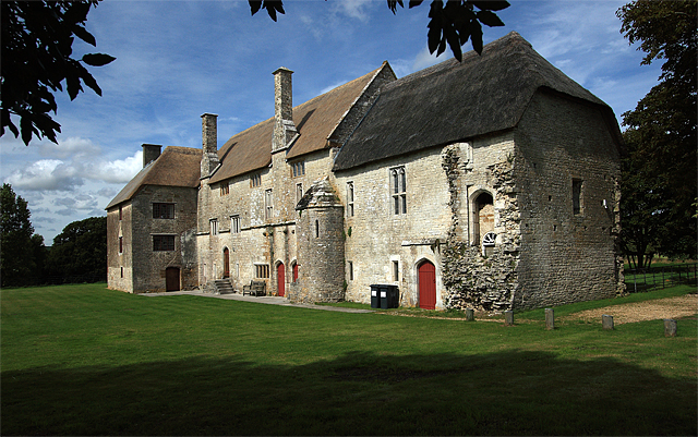
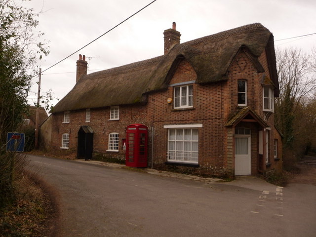
Moigne Combe Wood Images
Images are sourced within 2km of 50.688928/-2.3221176 or Grid Reference SY7787. Thanks to Geograph Open Source API. All images are credited.


Moigne Combe Wood is located at Grid Ref: SY7787 (Lat: 50.688928, Lng: -2.3221176)
Unitary Authority: Dorset
Police Authority: Dorset
What 3 Words
///croaking.escapes.square. Near Bovington Camp, Dorset
Related Wikis
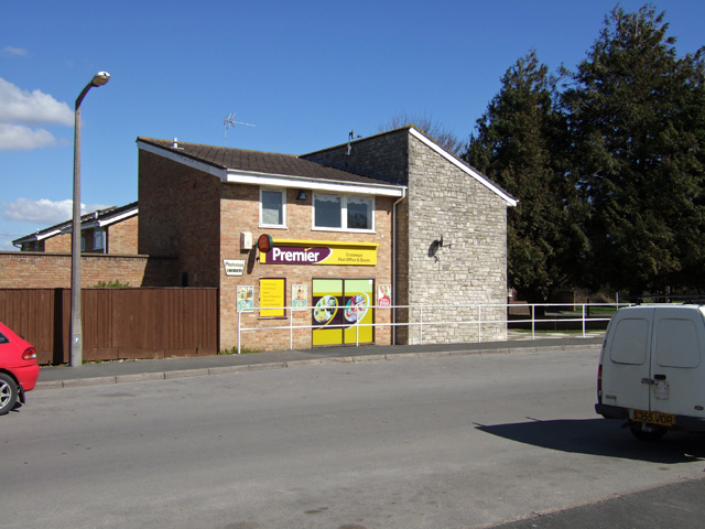
Crossways, Dorset
Crossways is a village and civil parish in the English county of Dorset. It lies 6 miles (9.7 km) east of the county town Dorchester. In the 2011 census...

Warmwell
Warmwell is a small village and civil parish in south west Dorset, England, situated on the B3390 road about 5 miles (8.0 km) southeast of Dorchester....
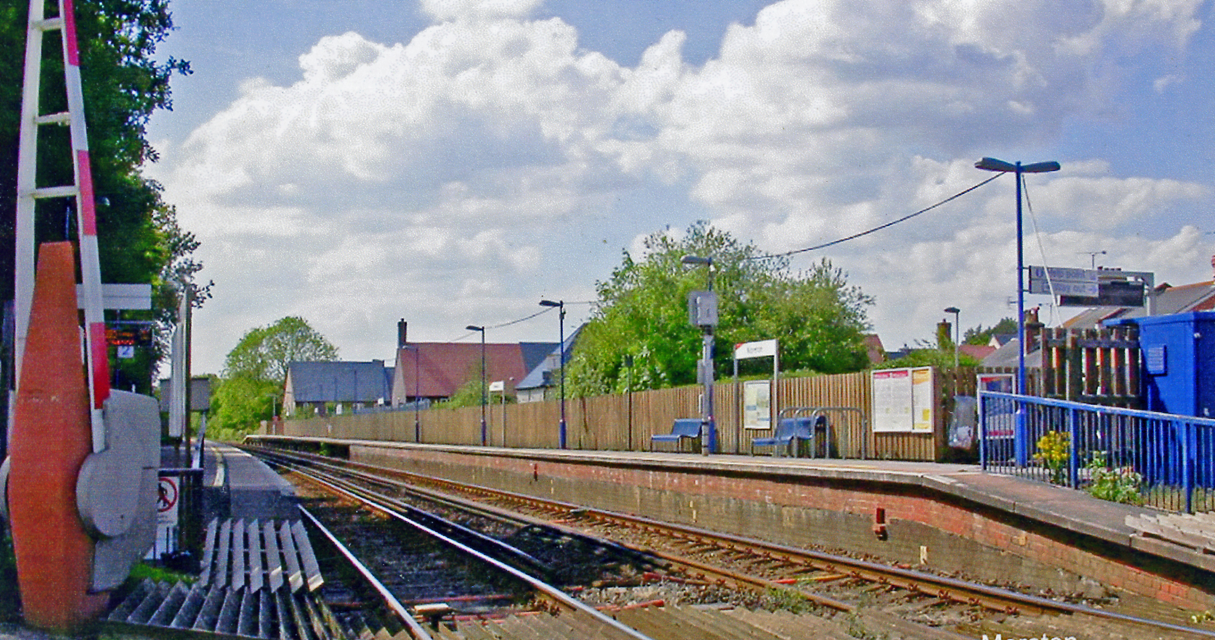
Moreton railway station (Dorset)
Moreton railway station serves the villages of Moreton and Crossways in Dorset, England. It is operated by South Western Railway and is served by their...

RAF Warmwell
Royal Air Force Warmwell or more simply RAF Warmwell is a former Royal Air Force station near Warmwell in Dorset, England from 1937 to 1946, located about...

Owermoigne
Owermoigne ( OH-ər-MOYN) is a village and civil parish in the county of Dorset in southern England, situated 6 miles (9.7 km) south-east of Dorchester...
Woodsford
Woodsford is a village and civil parish beside the River Frome, Dorset, England, about 4 miles (6.4 km) east of the county town Dorchester. Dorset County...

Tadnoll and Winfrith Heath
Tadnoll and Winfrith Heath is a nature reserve of the Dorset Wildlife Trust, near the village of Winfrith Newburgh in Dorset, England. There is heathland...
Moreton, Dorset
Moreton is a village and civil parish in Dorset, England, situated on the River Frome about 8 miles (13 km) east of Dorchester. In the 2011 census the...
Nearby Amenities
Located within 500m of 50.688928,-2.3221176Have you been to Moigne Combe Wood?
Leave your review of Moigne Combe Wood below (or comments, questions and feedback).