Skippet Plantation

Wood, Forest in Dorset

England

Skippet Plantation

Moigne Combe Wood
Moigne Combe Wood Credit: Alex McGregor

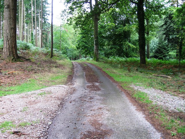
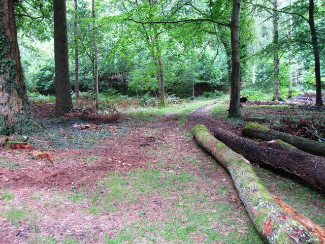
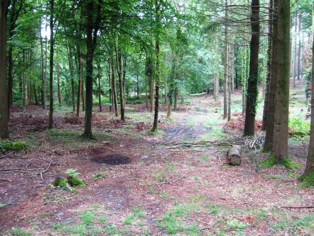
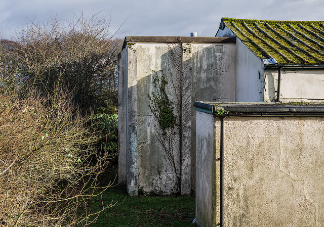
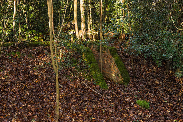
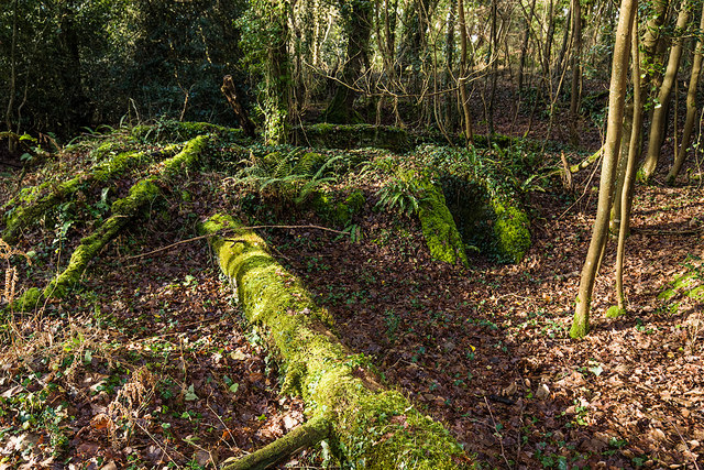
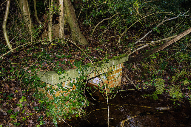
Skippet Plantation is a picturesque woodland located in the county of Dorset in southwestern England. Situated within the larger expanse of Skippet Forest, the plantation spans over several acres of lush greenery and is known for its diverse range of trees and wildlife.

The woodland is predominantly composed of native species such as oak, beech, and birch trees, which create a dense canopy overhead, providing ample shade and shelter for the flora and fauna that inhabit the area. The plantation is crisscrossed by a network of well-maintained footpaths, allowing visitors to explore the natural beauty of the woodland at their leisure.

Skippet Plantation is home to a wide variety of wildlife, including numerous bird species, such as woodpeckers, owls, and thrushes, which can be heard singing their melodious tunes throughout the day. The woodland also provides a habitat for small mammals like squirrels, rabbits, and badgers, as well as an array of insects and butterflies.

The plantation attracts nature enthusiasts, hikers, and families seeking a tranquil escape from the bustle of urban life. Its serene atmosphere and breathtaking scenery make it an ideal location for leisurely walks, picnics, and photography. The plantation is particularly popular during the autumn months when the foliage transforms into a vibrant palette of reds, oranges, and yellows, creating a stunning spectacle.

Skippet Plantation, with its rich biodiversity and natural charm, is truly a gem within Dorset's woodland landscape, providing a haven for both flora and fauna and a place of solace for those seeking to connect with nature.

If you have any feedback on the listing, please let us know in the comments section below.

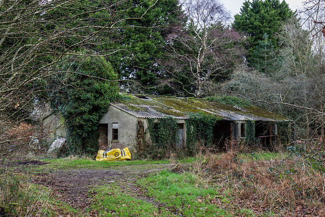
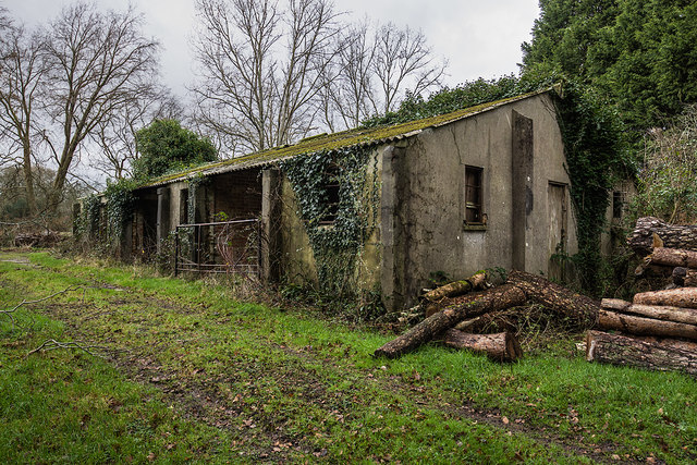
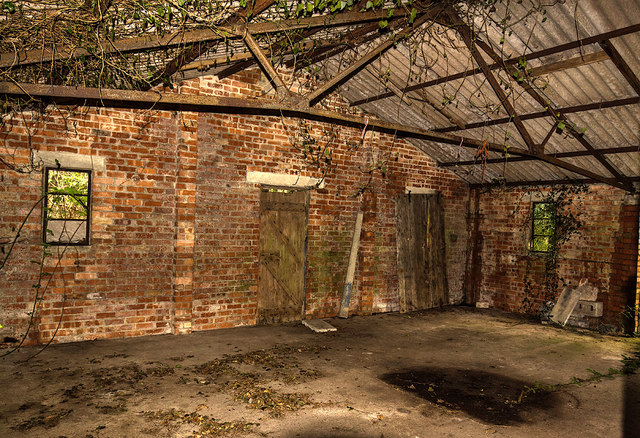
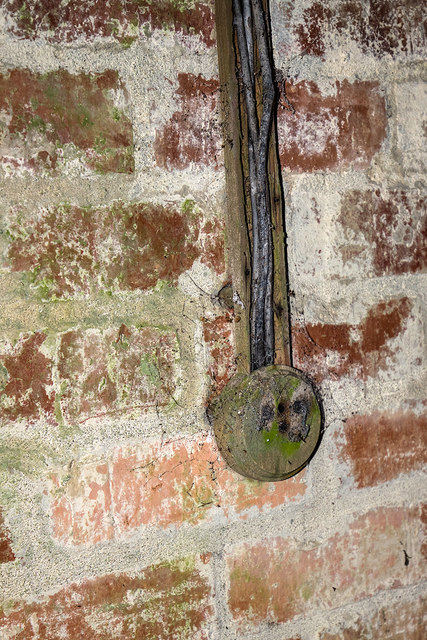
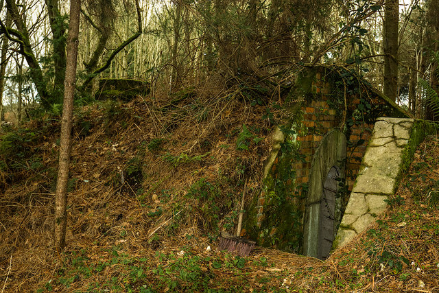
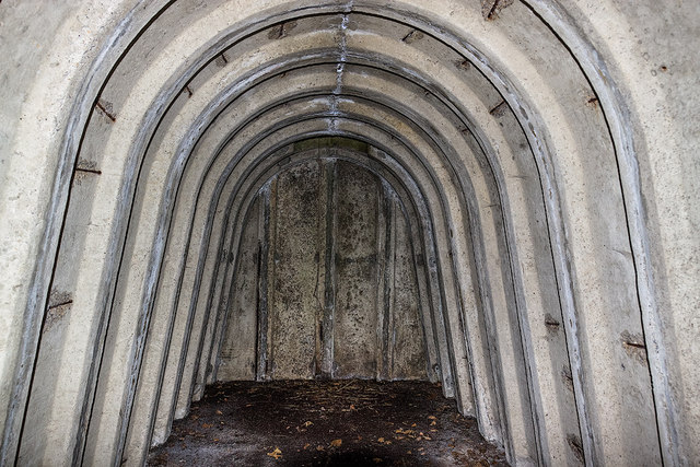
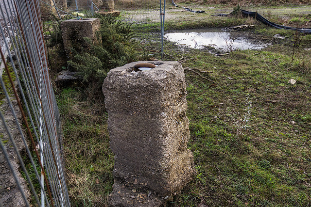
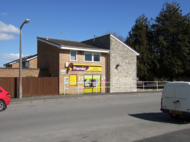
Skippet Plantation Images

Images are sourced within 2km of 50.686898/-2.3245385 or Grid Reference SY7787. Thanks to Geograph Open Source API. All images are credited.

Moigne Combe Wood
Moigne Combe Wood
Moigne Combe Wood
Moigne Combe Wood
Moigne Combe Wood
Moigne Combe Wood
Moigne Combe Wood
Moigne Combe Wood
Road junction
Road junction
WWII Dorset: discovering RAF Warmwell (1) -
Cinema/Gymnasium

Today this is Crossway's village hall that during the war served a dual purpose as RAF Warmwell's Station Cinema and Gymnasium. The lower attached building fronting the car park comprised both officer's and men's changing rooms, and two store rooms.

<a href="https://www.geograph.org.uk/photo/6365964">SY7688 : WWII Dorset: discovering RAF Warmwell (2)</a>

OVERVIEW

RAF Warmwell was opened in May 1937 as 6 Armament Training Camp, a gunnery school. It was known then as RAF Woodsford, but was renamed the following year as RAF Warmwell due to the possibility of it being confused with Woodford, near Manchester. By July 1940 it came under the control of Fighter Command's 10 Group, to become a satellite of RAF Middle Wallop. Dorset's only RAF fighter station during the Battle of Britain, its airfield would play a major role in the defence of the naval base at Portland, as well as providing protection for other important south coast areas. The three runways were of grass, and remained so for the duration of the war. The airfield came under attack by the Luftwaffe on several occasions, one in particular in the spring of 1941 left several personnel dead.

Inevitably as the war progressed, the role emphasis changed when offensive operations into German occupied Europe were undertaken with Spitfires, Hurricanes, Tempests, and the Westland Whirlwind, the RAF's first twin engined heavy fighter. Although RAF Warmwell was mainly an RAF station, the USAAF also made use of the airfield for brief periods during 1942, and again in March 1944 when the station came under USAAF control completely to become USAAF Station AAF-454. When the 474th Fighter Group with their Lockheed P-38 Lightnings departed for continental Europe in August 1944, the station reverted back to the RAF. The last RAF squadrons left in October 1945, and the following month the station entered a period under Care and Maintenance before closing down in 1946.
WWII Dorset: discovering RAF Warmwell (1)
- Cinema/Gymnasium Today this is Crossway's village hall that during the war served a dual purpose as RAF Warmwell's Station Cinema and Gymnasium. The lower attached building fronting the car park comprised both officer's and men's changing rooms, and two store rooms. SY7688 : WWII Dorset: discovering RAF Warmwell (2) OVERVIEW RAF Warmwell was opened in May 1937 as 6 Armament Training Camp, a gunnery school. It was known then as RAF Woodsford, but was renamed the following year as RAF Warmwell due to the possibility of it being confused with Woodford, near Manchester. By July 1940 it came under the control of Fighter Command's 10 Group, to become a satellite of RAF Middle Wallop. Dorset's only RAF fighter station during the Battle of Britain, its airfield would play a major role in the defence of the naval base at Portland, as well as providing protection for other important south coast areas. The three runways were of grass, and remained so for the duration of the war. The airfield came under attack by the Luftwaffe on several occasions, one in particular in the spring of 1941 left several personnel dead. Inevitably as the war progressed, the role emphasis changed when offensive operations into German occupied Europe were undertaken with Spitfires, Hurricanes, Tempests, and the Westland Whirlwind, the RAF's first twin engined heavy fighter. Although RAF Warmwell was mainly an RAF station, the USAAF also made use of the airfield for brief periods during 1942, and again in March 1944 when the station came under USAAF control completely to become USAAF Station AAF-454. When the 474th Fighter Group with their Lockheed P-38 Lightnings departed for continental Europe in August 1944, the station reverted back to the RAF. The last RAF squadrons left in October 1945, and the following month the station entered a period under Care and Maintenance before closing down in 1946.
WWII Dorset: discovering RAF Warmwell (2) -
Cinema/Gymnasium

This extension on the end was the cinema projection booth.

<a href="https://www.geograph.org.uk/photo/6365980">SY7687 : WWII Dorset: discovering RAF Warmwell (3)</a>
WWII Dorset: discovering RAF Warmwell (2)
- Cinema/Gymnasium This extension on the end was the cinema projection booth. SY7687 : WWII Dorset: discovering RAF Warmwell (3)
WWII Dorset: discovering RAF Warmwell (3) -
Communal Site No. 1 - Blast Shelter

One of several brick built blast shelters on this dispersed site in woodland for the protection of its personnel. They were an alternative to the more substantial Stanton type air raid shelter; a wartime expedient, they were simply a series of dog-legged brick walls in a rectangular configuration with blast protected entrances on two sides. Plan view of a blast shelter at RAF Tain in Scotland <a title="https://www.geograph.org.uk/photo/5928822" href="https://www.geograph.org.uk/photo/5928822">Link</a> . There are reputed to be as many as ten of these shelters in the woods, I counted just four of them, all are heavily overgrown.

<a href="https://www.geograph.org.uk/photo/6365988">SY7687 : WWII Dorset: discovering RAF Warmwell (4)</a>
WWII Dorset: discovering RAF Warmwell (3)
- Communal Site No. 1 - Blast Shelter One of several brick built blast shelters on this dispersed site in woodland for the protection of its personnel. They were an alternative to the more substantial Stanton type air raid shelter; a wartime expedient, they were simply a series of dog-legged brick walls in a rectangular configuration with blast protected entrances on two sides. Plan view of a blast shelter at RAF Tain in Scotland Link . There are reputed to be as many as ten of these shelters in the woods, I counted just four of them, all are heavily overgrown. SY7687 : WWII Dorset: discovering RAF Warmwell (4)
WWII Dorset: discovering RAF Warmwell (4) -
Communal Site No. 1 - Blast Shelter

A second group of shelters lie further south. As well as blast shelters, there are also two static water tanks on the site, each holding about 20,000 gallons (too overgrown to photograph).

<a href="https://www.geograph.org.uk/photo/6365992">SY7687 : WWII Dorset: discovering RAF Warmwell (5)</a>
WWII Dorset: discovering RAF Warmwell (4)
- Communal Site No. 1 - Blast Shelter A second group of shelters lie further south. As well as blast shelters, there are also two static water tanks on the site, each holding about 20,000 gallons (too overgrown to photograph). SY7687 : WWII Dorset: discovering RAF Warmwell (5)
WWII Dorset: discovering RAF Warmwell (5) -
Communal Site No. 1 - Sewer Outlet?

<a href="https://www.geograph.org.uk/photo/6366000">SY7787 : WWII Dorset: discovering RAF Warmwell (6)</a>
WWII Dorset: discovering RAF Warmwell (5)
- Communal Site No. 1 - Sewer Outlet? SY7787 : WWII Dorset: discovering RAF Warmwell (6)
WWII Dorset: discovering RAF Warmwell (6) -
Communal Site No. 4 - Sergeant's & Airmen's Ablutions

<a href="https://www.geograph.org.uk/photo/6366004">SY7787 : WWII Dorset: discovering RAF Warmwell (7)</a>
WWII Dorset: discovering RAF Warmwell (6)
- Communal Site No. 4 - Sergeant's & Airmen's Ablutions SY7787 : WWII Dorset: discovering RAF Warmwell (7)
WWII Dorset: discovering RAF Warmwell (7) -
Communal Site No. 4 - Sergeant's & Airmen's Ablutions

<a href="https://www.geograph.org.uk/photo/6366006">SY7787 : WWII Dorset: discovering RAF Warmwell (8)</a>
WWII Dorset: discovering RAF Warmwell (7)
- Communal Site No. 4 - Sergeant's & Airmen's Ablutions SY7787 : WWII Dorset: discovering RAF Warmwell (8)
WWII Dorset: discovering RAF Warmwell (8) -
Communal Site No. 4 - Sergeant's & Airmen's Ablutions

<a href="https://www.geograph.org.uk/photo/6366008">SY7787 : WWII Dorset: discovering RAF Warmwell (9)</a>
WWII Dorset: discovering RAF Warmwell (8)
- Communal Site No. 4 - Sergeant's & Airmen's Ablutions SY7787 : WWII Dorset: discovering RAF Warmwell (9)
WWII Dorset: discovering RAF Warmwell (9) -
Communal Site No. 4 - Sergeant's & Airmen's Ablutions

<a href="https://www.geograph.org.uk/photo/6366012">SY7787 : WWII Dorset: discovering RAF Warmwell (10)</a>
WWII Dorset: discovering RAF Warmwell (9)
- Communal Site No. 4 - Sergeant's & Airmen's Ablutions SY7787 : WWII Dorset: discovering RAF Warmwell (10)
WWII Dorset: discovering RAF Warmwell (10) -
Communal Site No. 4 - Air Raid Shelter

A Stanton type air raid shelter, one of at least three in the vicinity of the ablutions building.

<a href="https://www.geograph.org.uk/photo/6366017">SY7787 : WWII Dorset: discovering RAF Warmwell (11)</a>
WWII Dorset: discovering RAF Warmwell (10)
- Communal Site No. 4 - Air Raid Shelter A Stanton type air raid shelter, one of at least three in the vicinity of the ablutions building. SY7787 : WWII Dorset: discovering RAF Warmwell (11)
WWII Dorset: discovering RAF Warmwell (11) -
Communal Site No. 4 - Air Raid Shelter

Interior view. There is an escape hatch at the far end built into the roof. This type of shelter with its modular construction could be enlarged by adding further sections to accommodate larger numbers of people if need be.

<a href="https://www.geograph.org.uk/photo/6366023">SY7688 : WWII Dorset: discovering RAF Warmwell (12)</a>
WWII Dorset: discovering RAF Warmwell (11)
- Communal Site No. 4 - Air Raid Shelter Interior view. There is an escape hatch at the far end built into the roof. This type of shelter with its modular construction could be enlarged by adding further sections to accommodate larger numbers of people if need be. SY7688 : WWII Dorset: discovering RAF Warmwell (12)
WWII Dorset: discovering RAF Warmwell (12) -
The Airfield - Aircraft "tie downs"

Here in the south east corner of the airfield are a number of concrete blocks that have been excavated by the developer of the land. These are aircraft "tie-down" anchors that were used to secure parked aircraft to minimise the possibility of untoward movement due to high winds or propeller wash. They would have originally been sunk into the ground at the dispersals below the aircraft, the tops of the anchoring points flush with the surface.

Today, the site of the former airfield is either under development, or subject to extensive quarrying, the latter activity has unfortunately all but obliterated much of what used to remain.

<a href="https://www.geograph.org.uk/photo/6366034">SY7688 : WWII Dorset: discovering RAF Warmwell (13)</a>
WWII Dorset: discovering RAF Warmwell (12)
- The Airfield - Aircraft "tie downs" Here in the south east corner of the airfield are a number of concrete blocks that have been excavated by the developer of the land. These are aircraft "tie-down" anchors that were used to secure parked aircraft to minimise the possibility of untoward movement due to high winds or propeller wash. They would have originally been sunk into the ground at the dispersals below the aircraft, the tops of the anchoring points flush with the surface. Today, the site of the former airfield is either under development, or subject to extensive quarrying, the latter activity has unfortunately all but obliterated much of what used to remain. SY7688 : WWII Dorset: discovering RAF Warmwell (13)
WWII Dorset: discovering RAF Warmwell (13) -
The Airfield - Egdon House, the original Watch Office/Control Tower

Egdon House was the original Watch Office/Control Tower that has since been converted into a private house. As expected it's situated overlooking the former airfield on its northern side, with the old taxiway in front now in use as a road through the village. Two dispersal pans exist close by in a field to the west, although now almost obliterated due to agricultural use.

<a href="https://www.geograph.org.uk/photo/6366036">SY7688 : WWII Dorset: discovering RAF Warmwell (14)</a>
WWII Dorset: discovering RAF Warmwell (13)
- The Airfield - Egdon House, the original Watch Office/Control Tower Egdon House was the original Watch Office/Control Tower that has since been converted into a private house. As expected it's situated overlooking the former airfield on its northern side, with the old taxiway in front now in use as a road through the village. Two dispersal pans exist close by in a field to the west, although now almost obliterated due to agricultural use. SY7688 : WWII Dorset: discovering RAF Warmwell (14)
Show me another place!

Skippet Plantation is located at Grid Ref: SY7787 (Lat: 50.686898, Lng: -2.3245385)

Unitary Authority: Dorset

Police Authority: Dorset

What 3 Words

///kite.pollution.listen. Near Bovington Camp, Dorset

Related Wikis

Crossways, Dorset

Crossways is a village and civil parish in the English county of Dorset. It lies 6 miles (9.7 km) east of the county town Dorchester. In the 2011 census...

Warmwell

Warmwell is a small village and civil parish in south west Dorset, England, situated on the B3390 road about 5 miles (8.0 km) southeast of Dorchester....

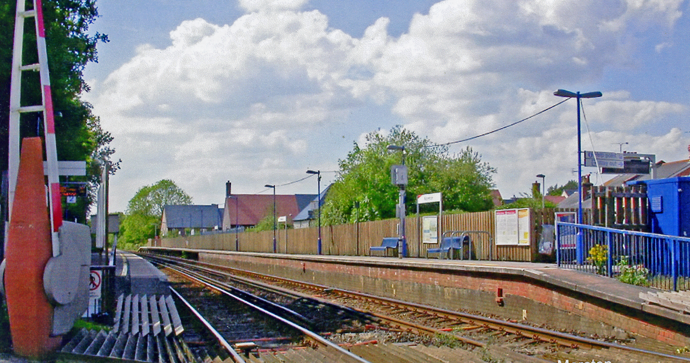
Moreton railway station (Dorset)

Moreton railway station serves the villages of Moreton and Crossways in Dorset, England. It is operated by South Western Railway and is served by their...

RAF Warmwell

Royal Air Force Warmwell or more simply RAF Warmwell is a former Royal Air Force station near Warmwell in Dorset, England from 1937 to 1946, located about...

Nearby Amenities

Located within 500m of 50.686898,-2.3245385
Cider Museum
Addr City: Owermoigne
Addr Housename: The Millhouse
Addr Housenumber: 33
Addr Postcode: DT2 8HZ
Addr Street: Moreton Road
Addr Village: Owermoigne
Fee: yes
Fhrs Id: 995064
Museum: local_history
Name En: Mill House Cider Museum
Opening Hours: Tu-Sa 10:00-16:00
Source Addr: FHRS Open Data
Tourism: museum
Website: https://www.millhousecider.com/cider-museum
Lat/Long: 50.6830019/-2.3218214
Diameter: 125
Location: underground
Water: wash_out
Lat/Long: 50.6867151/-2.318746
Fire Hydrant
Emergency: fire_hydrant
Fire Hydrant Diameter: 4 inch
Fire Hydrant Type: underground
Ref: 6905
Lat/Long: 50.685182/-2.319805
Power: pole
Source: bing
Lat/Long: 50.6855557/-2.3269598
Power: pole
Source: bing
Lat/Long: 50.684949/-2.3266285
Power: pole
Source: bing
Lat/Long: 50.6835367/-2.3258816
Ford: yes
Source: OS-OpenData_StreetView_2016_04
Lat/Long: 50.6853127/-2.3215134
Power: pole
Source: bing
Lat/Long: 50.6859567/-2.3246048
Power: pole
Source: bing
Lat/Long: 50.68604/-2.3256589
Man Made: antenna
Lat/Long: 50.688402/-2.3303086
Power: pole
Lat/Long: 50.68704/-2.3308276
Power: pole
Lat/Long: 50.6862728/-2.3304856
Power: pole
Lat/Long: 50.6862244/-2.3292504
Power: pole
Lat/Long: 50.6861326/-2.3272616
Power: pole
Source: bing
Lat/Long: 50.6841902/-2.3262195
The data included in this document is from www.openstreetmap.org. The data is made available under ODbL.

Have you been to Skippet Plantation?

Leave your review of Skippet Plantation below (or comments, questions and feedback).