Raleigh Wood

Wood, Forest in Cheshire

England

Raleigh Wood

B5085, Looking East From Broadoak Lane
B5085, Looking East From Broadoak Lane Credit: Peter Whatley

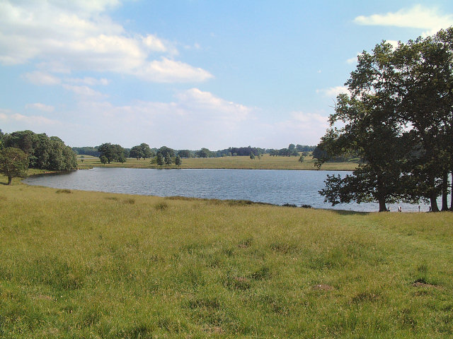
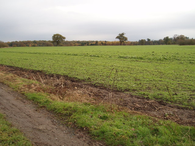
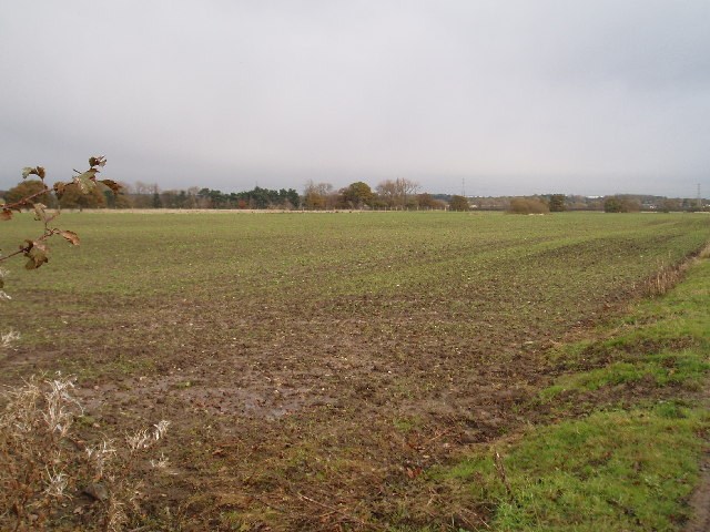
Raleigh Wood is a picturesque forest located in the county of Cheshire, England. Spread over a vast area, this woodland is known for its natural beauty and rich biodiversity. The forest is named after Sir Walter Raleigh, a renowned English explorer and writer who had significant influence during the Elizabethan era.

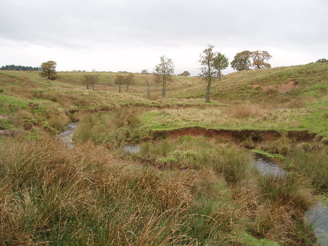
Covered in a dense canopy of trees, Raleigh Wood offers a peaceful and serene environment for visitors to explore. The woodland is predominantly composed of deciduous trees such as oak, birch, and beech, creating a vibrant tapestry of colors throughout the seasons. The forest floor is adorned with a variety of wildflowers and ferns, adding to its charm.

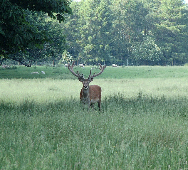
Raleigh Wood is home to a diverse range of wildlife, making it an ideal destination for nature enthusiasts. Various bird species, including woodpeckers, owls, and songbirds, can be spotted here. The forest is also inhabited by mammals such as deer, foxes, and squirrels. Additionally, the wood provides a habitat for numerous insect species and small reptiles.

The forest is crisscrossed by several walking trails, allowing visitors to immerse themselves in its natural wonders. These paths wind through the woodland, offering glimpses of scenic vistas and tranquil streams along the way. The peaceful atmosphere makes Raleigh Wood an ideal place for hiking, picnicking, and birdwatching.

Managed by local authorities, Raleigh Wood is well-maintained and offers basic amenities such as designated parking areas and picnic spots. It is a popular destination for both locals and tourists seeking a retreat into nature, providing a welcome escape from the bustle of urban life.

If you have any feedback on the listing, please let us know in the comments section below.
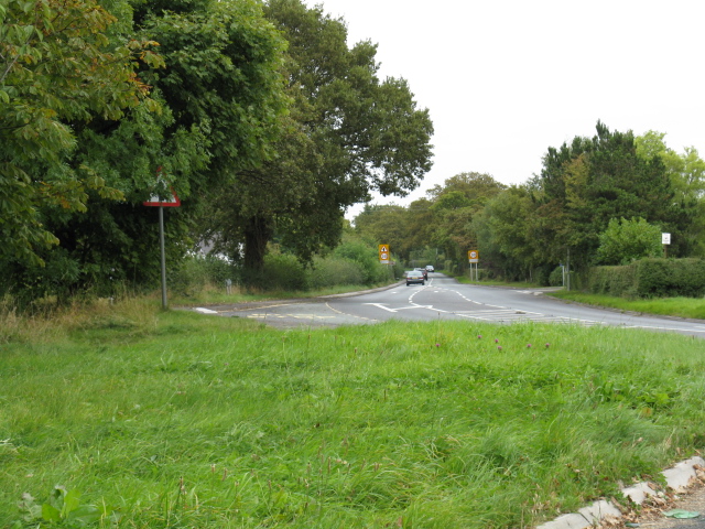
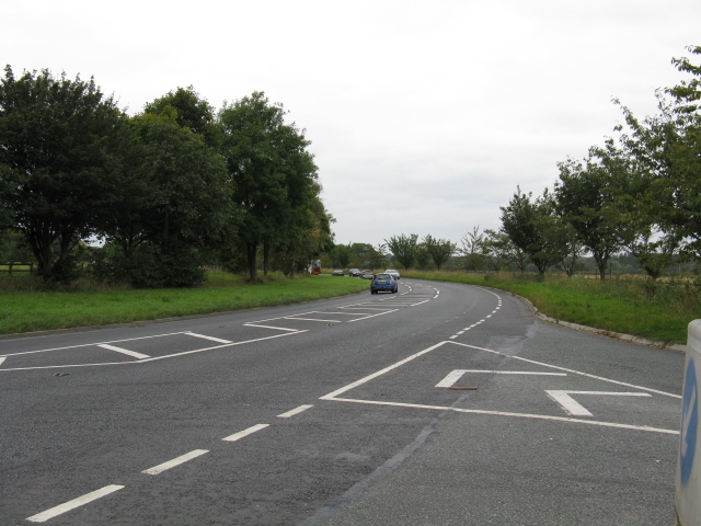
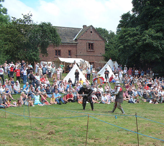
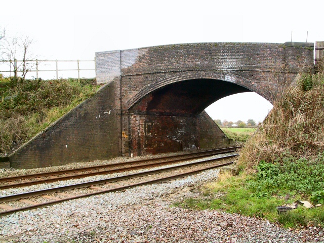
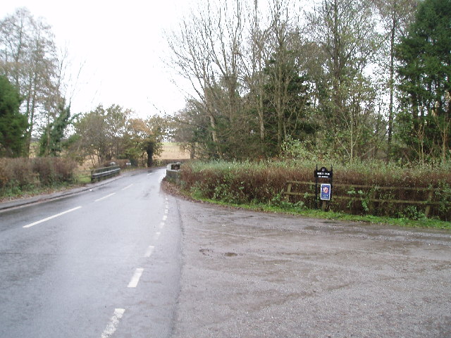
Raleigh Wood Images

Images are sourced within 2km of 53.332078/-2.3458062 or Grid Reference SJ7781. Thanks to Geograph Open Source API. All images are credited.

B5085, Looking East From Broadoak Lane
B5085, Looking West From Broadoak Lane
Public Footpath Leading to Cheshire Way and Tatton Mere
Public Footpath
Leading to Cheshire Way and Tatton Mere
Warning sign Well placed! Cars can be seen travelling along Town Lane, to and from Mobberley, in considerable numbers and at considerable speed, making it hard to cross at times.
Warning sign
Well placed! Cars can be seen travelling along Town Lane, to and from Mobberley, in considerable numbers and at considerable speed, making it hard to cross at times.
Tatton Old Hall Sword fighting demonstration at a Mediaeval Fair on a very hot day in June! The Mediaeval Hall is in the background.
Tatton Old Hall
Sword fighting demonstration at a Mediaeval Fair on a very hot day in June! The Mediaeval Hall is in the background.
Lake in Tatton Park The smaller of two lakes (Melchett Mere) in the area lies in the south west corner of the grid square. Picture taken looking south.
Lake in Tatton Park
The smaller of two lakes (Melchett Mere) in the area lies in the south west corner of the grid square. Picture taken looking south.
Deer Deer in Tatton Park
Deer
Deer in Tatton Park
Lowerhouse Bridge Looking north up the line towards Ashley. The bridge is at the intersection of Lowerhouse Lane.
Lowerhouse Bridge
Looking north up the line towards Ashley. The bridge is at the intersection of Lowerhouse Lane.
Over and Under Breach House Lane goes first over Sugar Brook, then under the railway lines.
Over and Under
Breach House Lane goes first over Sugar Brook, then under the railway lines.
Blackshaw Heys Farm Cattle grid at the entrance to Blackshaw Heys Farm on Breach House Lane.
Blackshaw Heys Farm
Cattle grid at the entrance to Blackshaw Heys Farm on Breach House Lane.
Road Narrows Turning off Hobcroft Lane to the left at Greenbank takes one down a narrowing, winding lane, as this sign warns.
Road Narrows
Turning off Hobcroft Lane to the left at Greenbank takes one down a narrowing, winding lane, as this sign warns.
Wee Bridge This narrow bridge gives the adjacent farm its name. It crosses Mobberley Brook to emerge onto Smith Lane.
Wee Bridge
This narrow bridge gives the adjacent farm its name. It crosses Mobberley Brook to emerge onto Smith Lane.
Mobberley Station The railway station and level crossing at Mobberley.
Mobberley Station
The railway station and level crossing at Mobberley.
Ashley road bridge (Over the Birkin Brook) Looking north towards Ashley , the turning to the right is to Birtles Farm
Ashley road bridge (Over the Birkin Brook)
Looking north towards Ashley , the turning to the right is to Birtles Farm
Tatton Park Deer Enclosure Taken from the extreme NE corner of Tatton Park perimeter fence. (looking north over the fence into the Deer enclosure)
Tatton Park Deer Enclosure
Taken from the extreme NE corner of Tatton Park perimeter fence. (looking north over the fence into the Deer enclosure)
Farm land in Tatton Park Taken from the track east of the old mill pond.(This whole square is just farmland)
Farm land in Tatton Park
Taken from the track east of the old mill pond.(This whole square is just farmland)
Farm land in Tatton Park Taken from the same position as previous photo but looking NE
Farm land in Tatton Park
Taken from the same position as previous photo but looking NE
Public Footpath on Hobcroft Lane Looking NNE, Mobberley <span class="nowrap"><a title="http://www.mobberley.info" rel="nofollow ugc noopener" href="http://www.mobberley.info">Link</a><img style="margin-left:2px;" alt="External link" title="External link - shift click to open in new window" src="https://s1.geograph.org.uk/img/external.png" width="10" height="10"/></span> footpath No.75 <span class="nowrap"><a title="http://www.mobberley.info/Footpaths/html/nw_paths_7.html" rel="nofollow ugc noopener" href="http://www.mobberley.info/Footpaths/html/nw_paths_7.html">Link</a><img style="margin-left:2px;" alt="External link" title="External link - shift click to open in new window" src="https://s1.geograph.org.uk/img/external.png" width="10" height="10"/></span> starts on Hobcroft Lane <span class="nowrap"><a title="http://www.mobberley.info/Images/Footpaths/html/fp75_hobcroft_lane_to_sugar_br_1.html" rel="nofollow ugc noopener" href="http://www.mobberley.info/Images/Footpaths/html/fp75_hobcroft_lane_to_sugar_br_1.html">Link</a><img style="margin-left:2px;" alt="External link" title="External link - shift click to open in new window" src="https://s1.geograph.org.uk/img/external.png" width="10" height="10"/></span> (south edge of SJ7880) and terminates at Wood Lane (which was "severed" by runway 2).
This path forms part of long distance walk "North Cheshire Way" <span class="nowrap"><a title="http://www.mcfs.org.uk/north-cheshire-way.htm" rel="nofollow ugc noopener" href="http://www.mcfs.org.uk/north-cheshire-way.htm">Link</a><img style="margin-left:2px;" alt="External link" title="External link - shift click to open in new window" src="https://s1.geograph.org.uk/img/external.png" width="10" height="10"/></span>
The white posts visible in the middle distance are landing lights for runway 2! The control tower is in the distance.
Public Footpath on Hobcroft Lane
Looking NNE, Mobberley LinkExternal link footpath No.75 LinkExternal link starts on Hobcroft Lane LinkExternal link (south edge of SJ7880) and terminates at Wood Lane (which was "severed" by runway 2). This path forms part of long distance walk "North Cheshire Way" LinkExternal link The white posts visible in the middle distance are landing lights for runway 2! The control tower is in the distance.
Show me another place!

Raleigh Wood is located at Grid Ref: SJ7781 (Lat: 53.332078, Lng: -2.3458062)

Unitary Authority: Cheshire East

Police Authority: Cheshire

What 3 Words

///unhappy.flexibly.starred. Near Ashley, Cheshire

Nearby Locations

Raleigh Wood Square Wood

Related Wikis

Mobberley railway station

Mobberley railway station serves the village of Mobberley in Cheshire, England. It is to the north of the village and is managed by Northern Trains. The...

Tatton Old Hall

Tatton Old Hall is a historic building in Tatton Park near Knutsford, Cheshire, England. It is designated by English Heritage as a Grade II* listed building...

Tatton, Cheshire

Tatton is a former civil parish, now in the parish of Millington and Rostherne, in the Cheshire East district and ceremonial county of Cheshire in England...

Bucklow Rural District

Bucklow Rural District was, from 1894 to 1974, a local government district in the north of the administrative county of Cheshire, England. Following the...

Dukenfield Hall

Dukenfield Hall is a country house between Knutsford and Mobberley in Cheshire, England. Dukenfield Hall is recorded in the National Heritage List for...

Mobberley

Mobberley is a village in Cheshire, England, between Wilmslow and Knutsford, which in 2001 had a population of 2,546, increasing to 3,050 at the 2011 Census...
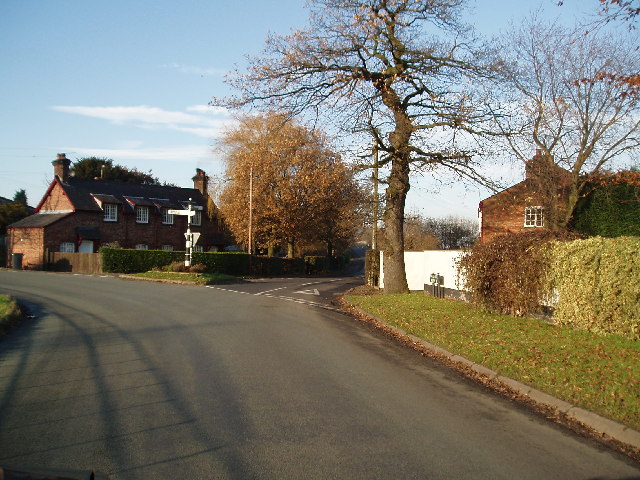
Ashley, Cheshire

Ashley is a village and civil parish in Cheshire, England. At the 2001 census, it had a population of 261. The village is close to the border with Greater...

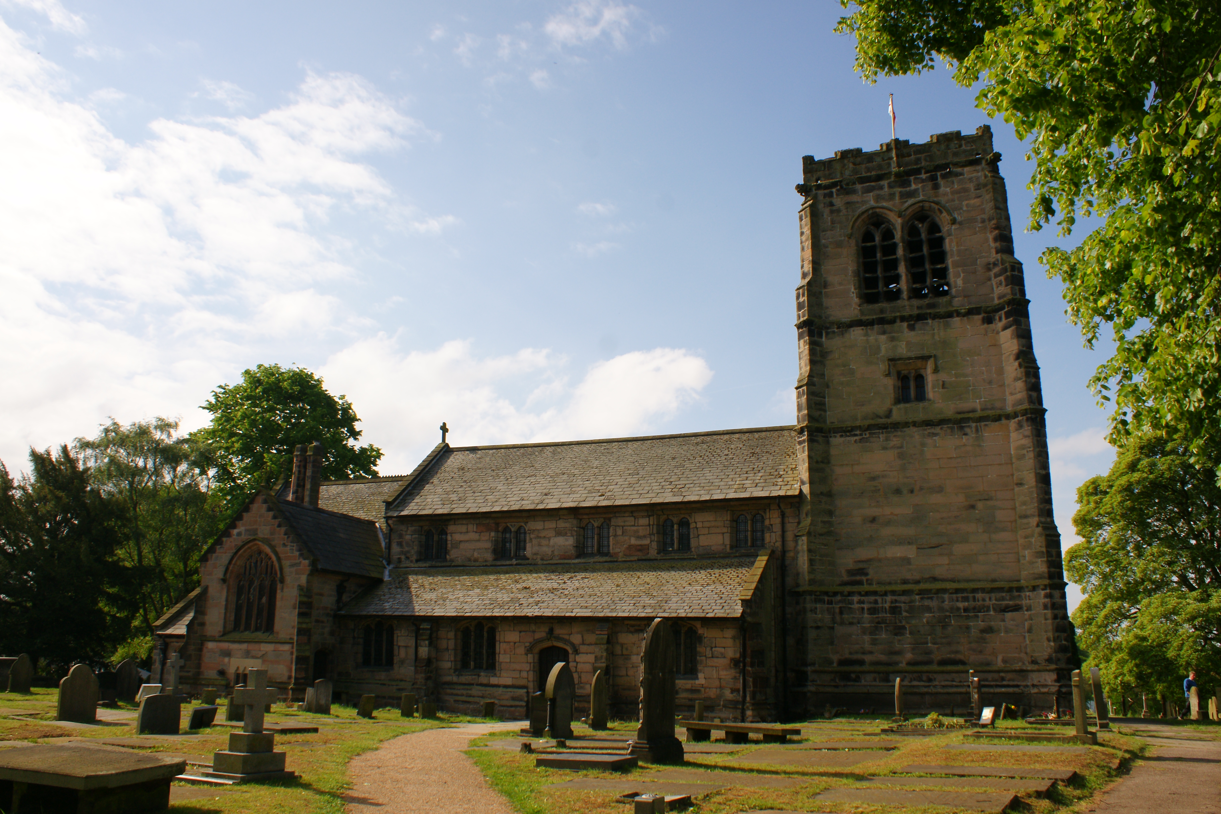
St Wilfrid's Church, Mobberley

St Wilfrid's Church stands to the north of the village of Mobberley, Cheshire, England. The church is recorded in the National Heritage List for England...

Nearby Amenities

Located within 500m of 53.332078,-2.3458062
Bus Stop
Mobberley, Pepper Street / Smith Lane
Bus: yes
Naptan AtcoCode: 0600MA19192
Naptan Bearing: NE
Naptan BusStopType: CUS
Naptan CommonName: Smith Lane
Naptan Crossing: Smith Lane
Naptan Indicator: opp
Naptan Landmark: Smith Lane
Naptan LocalityName: Mobberley
Naptan NaptanCode: cheagjaw
Naptan ShortCommonName: Smith Lane
Naptan Street: Pepper Street
Network: Cheshire East Council
Operator: Ansa Transport
Public Transport: platform
Source: naptan_import
Lat/Long: 53.3320151/-2.3394281
Bus Stop
Mobberley, Pepper Street / Smith Lane
Bus: yes
Naptan AtcoCode: 0600MA19191
Naptan Bearing: SW
Naptan BusStopType: CUS
Naptan CommonName: Smith Lane
Naptan Crossing: Smith Lane
Naptan Indicator: nr
Naptan Landmark: Smith Lane
Naptan LocalityName: Mobberley
Naptan NaptanCode: cheagjap
Naptan ShortCommonName: Smith Lane
Naptan Street: Pepper Street
Network: Cheshire East Council
Operator: Ansa Transport
Public Transport: platform
Source: naptan_import
Lat/Long: 53.3319075/-2.3392846
The data included in this document is from www.openstreetmap.org. The data is made available under ODbL.

Have you been to Raleigh Wood?

Leave your review of Raleigh Wood below (or comments, questions and feedback).