Karen's Wood
Wood, Forest in Northumberland
England
Karen's Wood

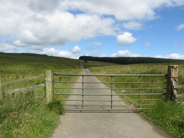
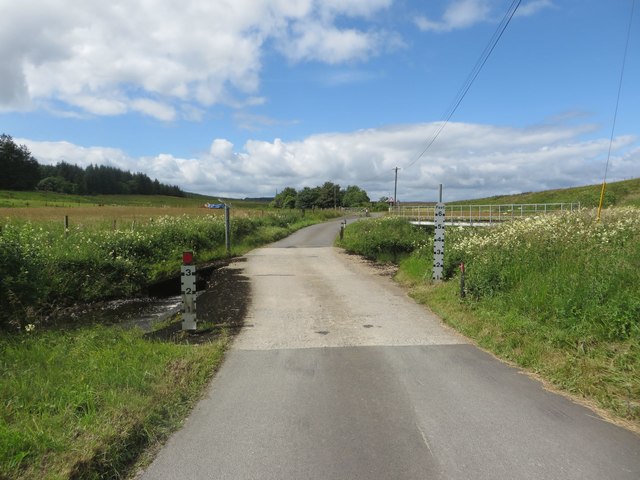
Karen's Wood is a captivating woodland located in the heart of Northumberland, England. Covering an area of approximately 100 hectares, it is a haven for nature enthusiasts and those seeking tranquility amidst stunning natural beauty. The wood is named after its previous owner, Karen, who dedicated her life to its preservation and conservation.
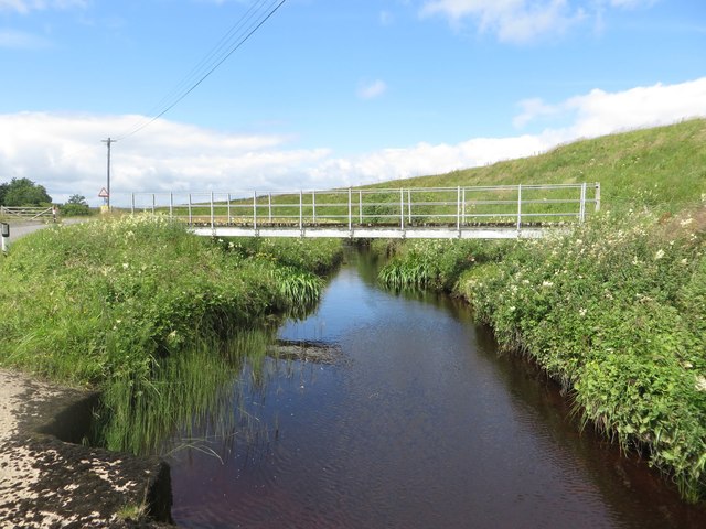
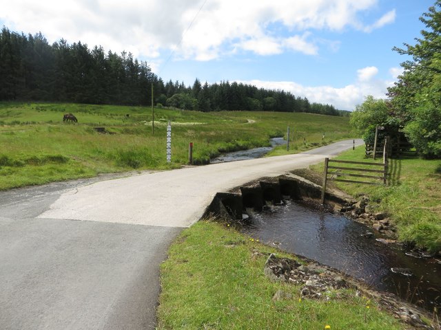
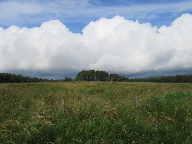
The wood boasts a rich and diverse ecosystem, with a wide variety of flora and fauna. Towering oak, beech, and ash trees dominate the landscape, creating a dense canopy that provides shade and shelter to numerous woodland creatures. The forest floor is adorned with a carpet of bluebells, wild garlic, and ferns, adding to the enchanting atmosphere.
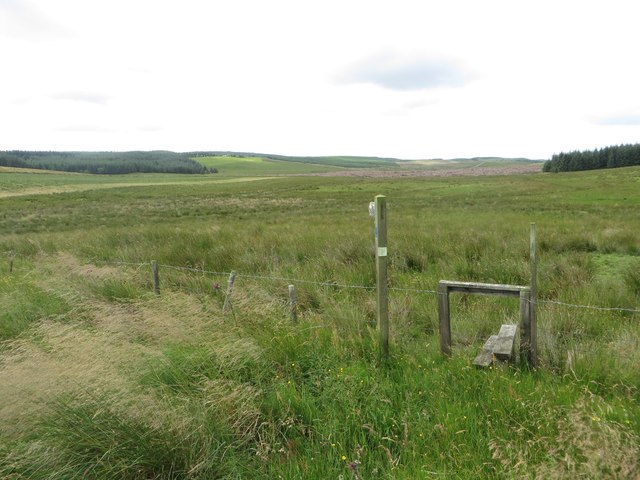
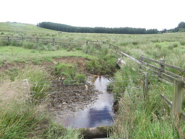
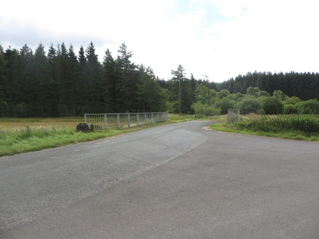
Visitors to Karen's Wood can explore the numerous walking trails that wind through the forest, offering glimpses of picturesque streams and hidden waterfalls. The wood is also home to an abundance of wildlife, including deer, foxes, badgers, and a rich bird population. Birdwatchers can spot species such as woodpeckers, owls, and various songbirds among the treetops.
The wood is meticulously maintained by a team of dedicated conservationists who work tirelessly to preserve its natural beauty. They actively manage the woodland, ensuring a healthy and sustainable environment for the species that call it home.
Karen's Wood offers a peaceful retreat away from the hustle and bustle of everyday life, providing an opportunity to reconnect with nature and immerse oneself in the beauty of the Northumberland countryside. It is a true gem in the region, captivating visitors with its charm and serenity.
If you have any feedback on the listing, please let us know in the comments section below.
Karen's Wood Images
Images are sourced within 2km of 55.087026/-2.3619687 or Grid Reference NY7677. Thanks to Geograph Open Source API. All images are credited.


Karen's Wood is located at Grid Ref: NY7677 (Lat: 55.087026, Lng: -2.3619687)
Unitary Authority: Northumberland
Police Authority: Northumbria
What 3 Words
///combining.applauded.tend. Near Bellingham, Northumberland
Nearby Locations
Related Wikis
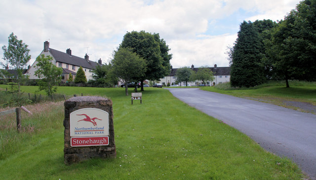
Stonehaugh
Stonehaugh is a small settlement in Northumberland about 5 miles (8 km) west of Wark on Tyne and 4 Roman miles (6 km) north of Hadrian's Wall. It was purpose...

Wark Forest
Wark Forest is the southern part of Kielder Forest in Northumberland, England. Wark Forest is found within the south-west tip of Northumberland National...

The Goatstones
The Goatstones is a Bronze-Age four-poster stone circle located near Ravensheugh Crags in Northumberland, England. It is 2.5 miles (4.0 km) to the north...

Halleypike Lough
Halleypike Lough is an inland lake on Haughton Common at the southern edge of Northumberland National Park, northeast of Bardon Mill, and 1 mile (1.6 km...

Dally Castle
Dally Castle is a ruined 13th-century stone motte-and-bailey fortress in Northumberland, and one of the first hall houses in Northumberland. It lies 5...

Broomlee Lough
Broomlee Lough is an inland lake in Northumberland, England at the southern edge of Northumberland National Park. The lough lies immediately north of the...

Milecastle 35
Milecastle 35 (Sewingshields) is one of the milecastles on Hadrian's Wall (grid reference NY80497018). The remains still exist as exposed masonry. ��2...

Hesleyside Hall
Hesleyside Hall is a privately owned 18th-century country house and the ancestral home of the Border reiver Charlton family about 2 miles (3 km) west of...
Have you been to Karen's Wood?
Leave your review of Karen's Wood below (or comments, questions and feedback).