New Covert
Wood, Forest in Gloucestershire Stroud
England
New Covert
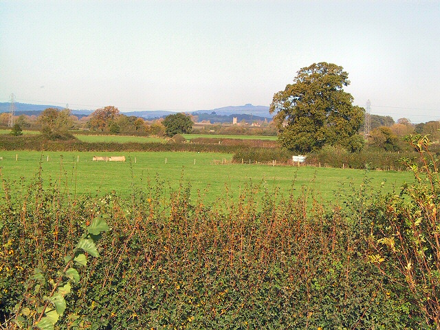
New Covert is a picturesque village located in the county of Gloucestershire, England. Situated within the vast expanse of the enchanting Forest of Dean, this small community is surrounded by lush woodlands, offering breathtaking natural beauty and a tranquil atmosphere. The village is nestled on the western edge of the forest, providing residents and visitors with easy access to the diverse flora and fauna that thrive in this unique ecosystem.
New Covert is characterized by its idyllic setting, with charming cottages dotting the landscape. The architecture reflects the traditional style of the region, creating a harmonious blend with the surrounding woodland. The village is a haven for nature enthusiasts, who can enjoy an array of outdoor activities such as hiking, cycling, and birdwatching. The forest trails offer incredible opportunities to explore ancient trees, wildflower meadows, and hidden streams.
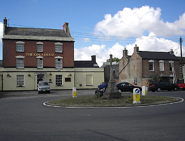
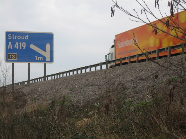
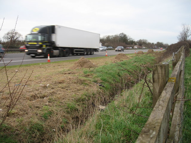
Despite its secluded location, New Covert is well-connected to neighboring towns and cities. The village is conveniently located near major road networks, allowing for easy commuting and access to essential amenities. Nearby towns offer a range of shops, restaurants, and recreational facilities, providing residents with everything they need for a comfortable lifestyle.
The close-knit community of New Covert fosters a strong sense of belonging and community spirit. Residents often come together for various events and activities, such as village fairs and charity fundraisers. The village also boasts a primary school, ensuring that families have access to quality education for their children.
In summary, New Covert, Gloucestershire, is a charming village nestled within the enchanting Forest of Dean. With its natural beauty, a range of outdoor activities, and a welcoming community, it offers a peaceful and fulfilling lifestyle for its residents.
If you have any feedback on the listing, please let us know in the comments section below.
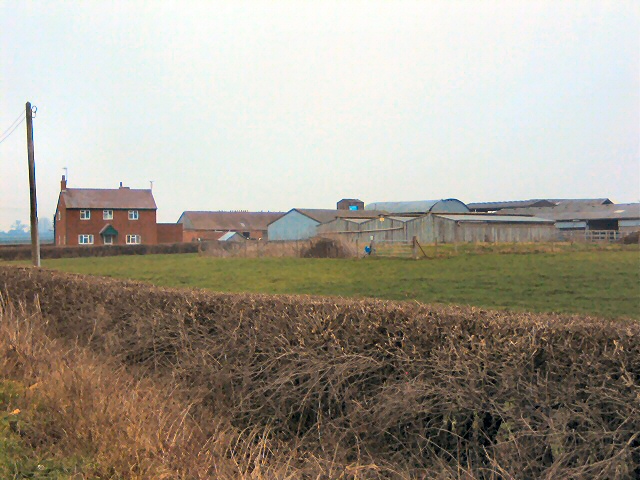
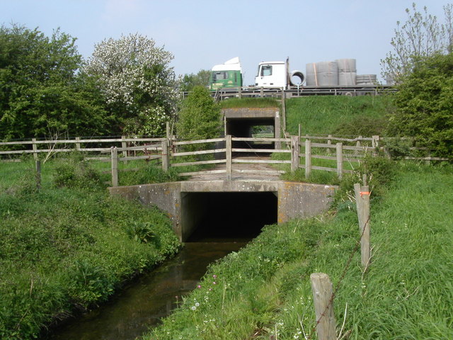
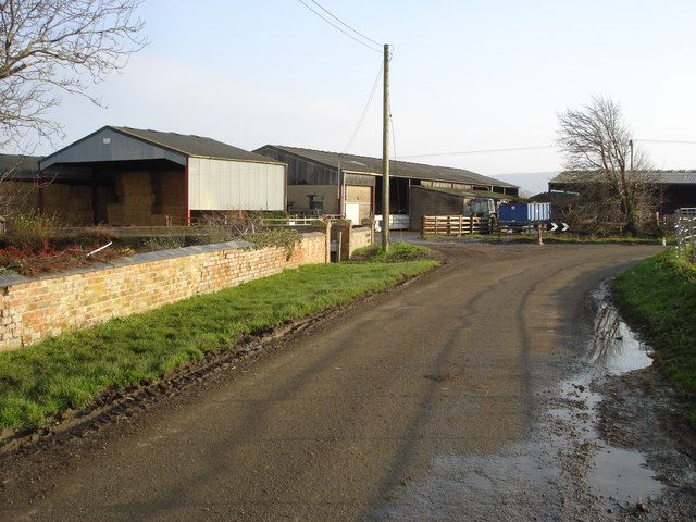
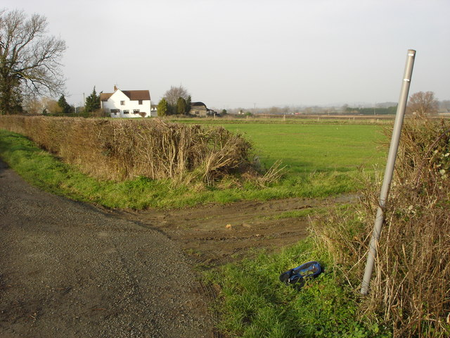
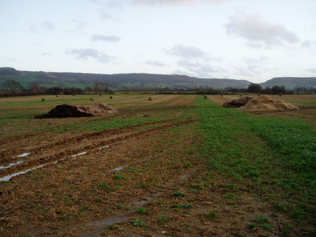
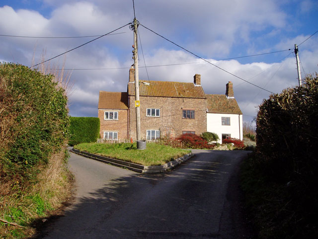
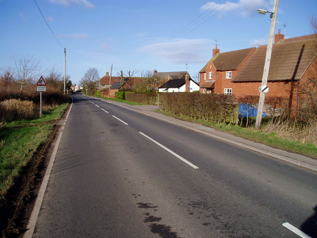
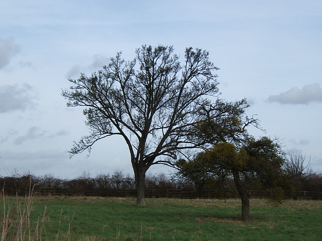
New Covert Images
Images are sourced within 2km of 51.738171/-2.3346121 or Grid Reference SO7604. Thanks to Geograph Open Source API. All images are credited.
New Covert is located at Grid Ref: SO7604 (Lat: 51.738171, Lng: -2.3346121)
Administrative County: Gloucestershire
District: Stroud
Police Authority: Gloucestershire
What 3 Words
///custom.host.width. Near Eastington, Gloucestershire
Nearby Locations
Related Wikis

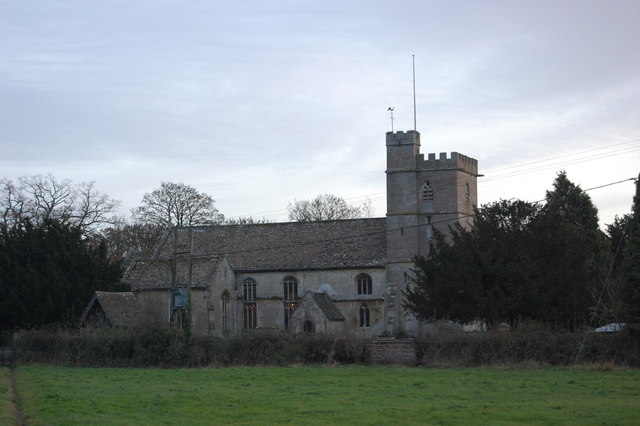
Eastington, Stroud
Eastington is a village and civil parish in the Gloucestershire, England. It lies 4 miles west of Stroud and 9 miles south of Gloucester at the entrance...

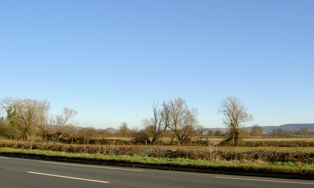
Alkerton, Gloucestershire
Alkerton is a village in Gloucestershire, England. It is located along the M5 motorway just east of the River Severn. It is part of the parish of Eastington...

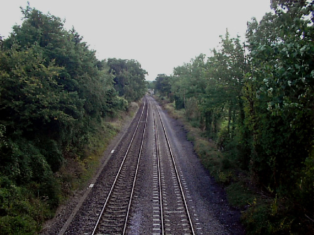
Frocester railway station
Frocester railway station served the village of Frocester in Gloucestershire, England. The station was on the Bristol and Gloucester Railway, originally...
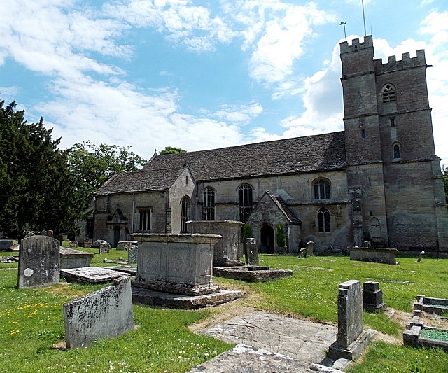
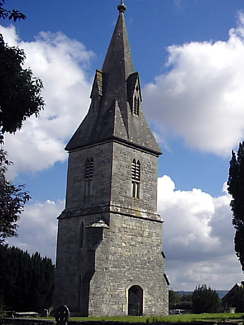
Churchend, Eastington
Churchend is a hamlet in Gloucestershire, England, 4 miles (6.4 km) west of Stroud. It is part of the civil parish of Eastington. The church of St Michael...

Five Acre Grove
Five Acre Grove (grid reference SO791043) is a 5-hectare (12-acre) nature reserve in Leonard Stanley, Gloucestershire. The site is listed in the 'Cotswold...
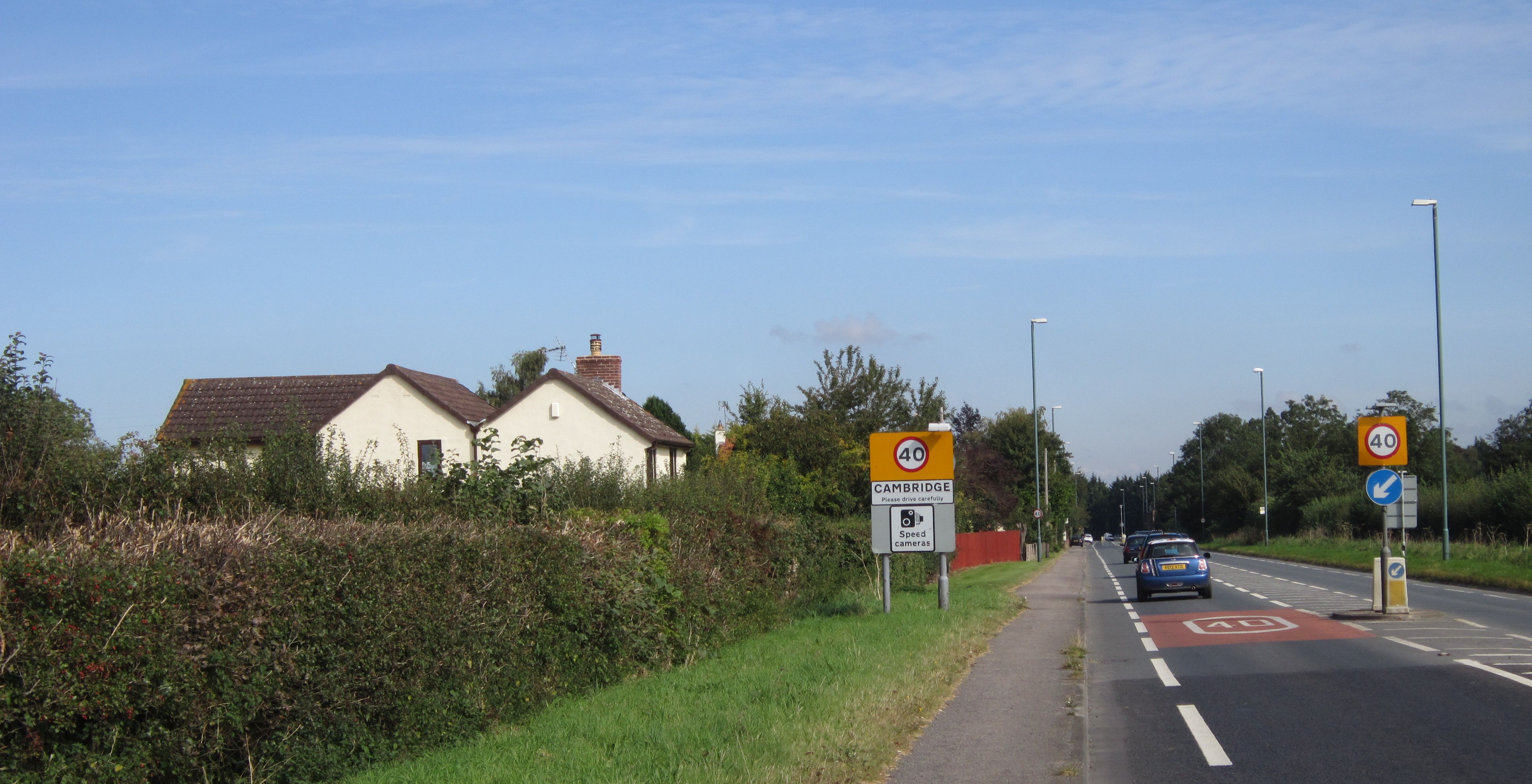
Cambridge, Gloucestershire
Cambridge ( ) is a hamlet in the district of Stroud, in the county of Gloucestershire, England. It lies on the A38 road between Bristol and Gloucester...
The Gatehouse at Bonds Mill
The Gatehouse at Bonds Mill at Stonehouse, Gloucestershire, England, was constructed during World War II as a defensive pillbox as part of the Stop Line...

Eco Park (stadium)
Eco Park is a proposed stadium in Gloucestershire, England. If constructed, the stadium will be the home ground of Forest Green Rovers. It is reputedly...
Nearby Amenities
Located within 500m of 51.738171,-2.3346121Have you been to New Covert?
Leave your review of New Covert below (or comments, questions and feedback).