Little Thanks Wood
Wood, Forest in Somerset Mendip
England
Little Thanks Wood
Little Thanks Wood is a picturesque and enchanting woodland located in Somerset, England. Covering an area of approximately 100 acres, it is nestled in the heart of the beautiful countryside of the county. The woodland is named after a local legend that claims the name originated from a group of villagers who expressed their gratitude for the abundance of resources the forest provided.
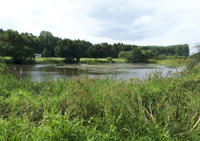
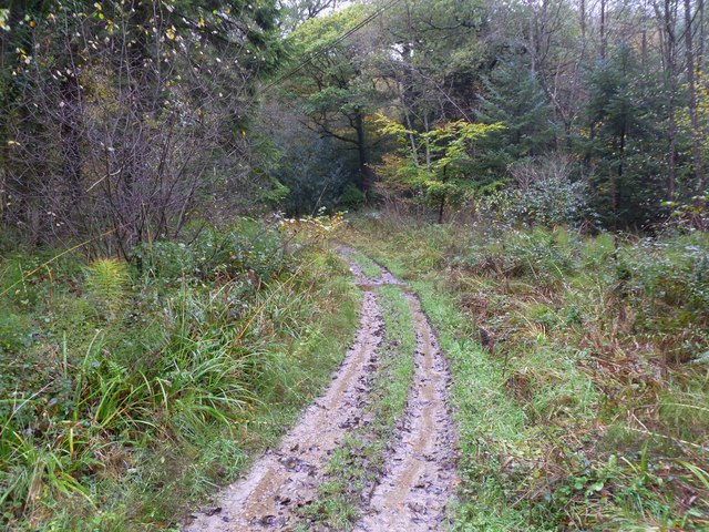
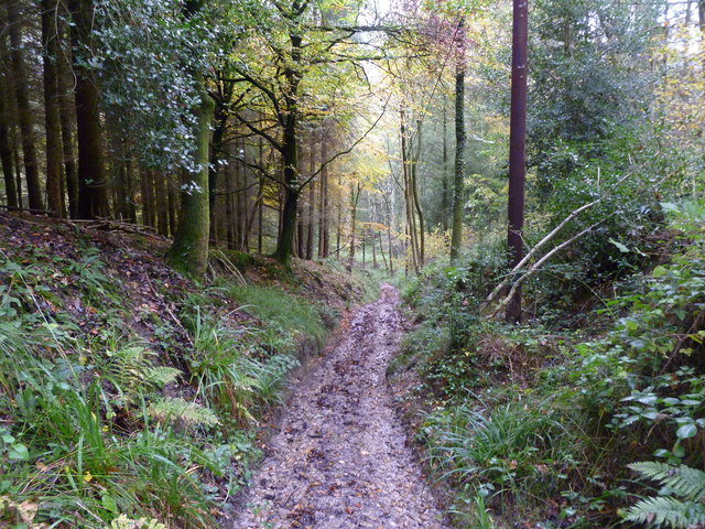
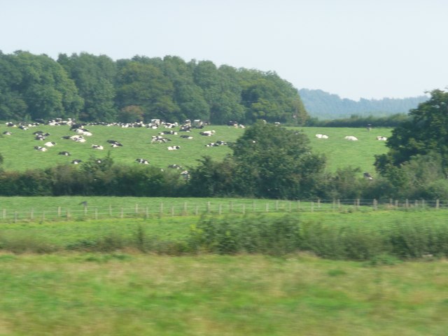
Little Thanks Wood boasts a diverse range of flora and fauna, making it a haven for nature enthusiasts. The woodland is primarily composed of native deciduous trees such as oak, beech, and birch, creating a vibrant and ever-changing landscape throughout the seasons. The forest floor is adorned with an array of wildflowers, including bluebells, primroses, and wood anemones, adding a burst of color to the surroundings.
The woodland is home to a variety of wildlife species, including deer, foxes, badgers, and a multitude of bird species. Birdwatchers will delight in the presence of woodpeckers, song thrushes, and tawny owls, among others.
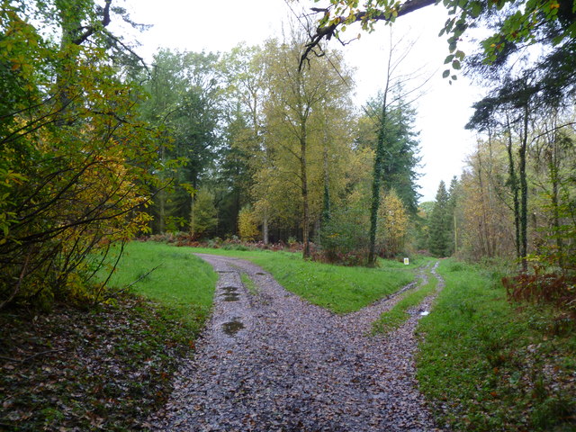
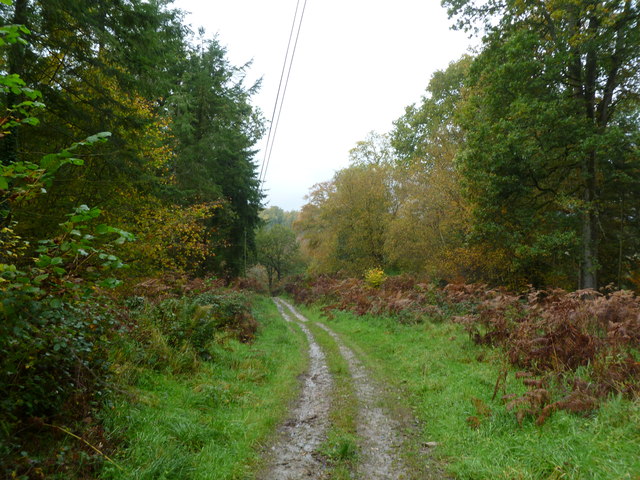
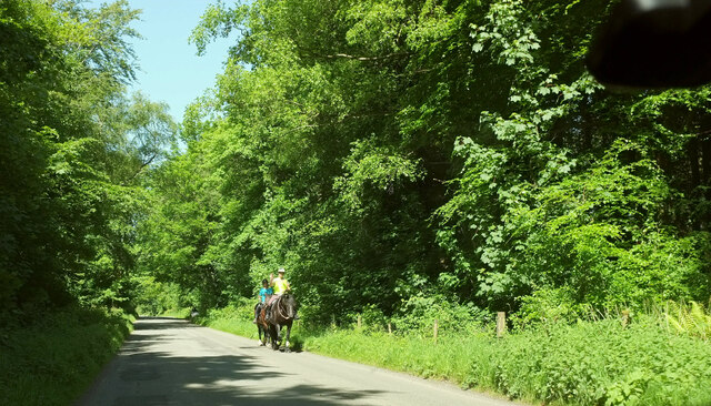
Little Thanks Wood offers a tranquil escape from the hustle and bustle of everyday life, providing visitors with the opportunity to immerse themselves in nature. Walking trails wind their way through the forest, allowing hikers to explore the woodland at their own pace. The peaceful atmosphere and beautiful scenery make it an ideal spot for picnics, photography, or simply unwinding in nature's embrace.
Overall, Little Thanks Wood is a hidden gem in Somerset, offering a serene and idyllic retreat for those seeking solace in nature's embrace.
If you have any feedback on the listing, please let us know in the comments section below.
Little Thanks Wood Images
Images are sourced within 2km of 51.164915/-2.331145 or Grid Reference ST7640. Thanks to Geograph Open Source API. All images are credited.
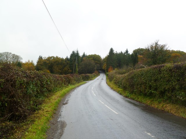
![Bridge over a brook on the road near Witham Hall Farm The [water] Fall marked on the OS map is not visible from the road.](https://s3.geograph.org.uk/geophotos/07/52/99/7529915_00cd80dd.jpg)


Little Thanks Wood is located at Grid Ref: ST7640 (Lat: 51.164915, Lng: -2.331145)
Administrative County: Somerset
District: Mendip
Police Authority: Avon and Somerset
What 3 Words
///freshest.wharfs.defers. Near Kilmington, Wiltshire
Nearby Locations
Related Wikis

St Michael's Church, Gare Hill
St Michael's Church is a former Church of England church at Gare Hill, Somerset, England. The church, which was designed by William Butterfield and built...

Bradley Woods
Bradley Woods (grid reference ST789410) is an area of woodland in Wiltshire, south of Longleat Woods and north of Gare Hill. A 48.7 hectare area within...

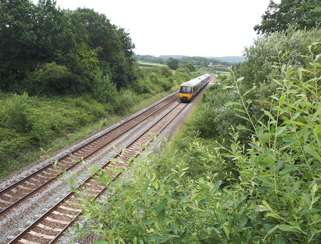
Witham (Somerset) railway station
This station in Somerset is closed. For the open station in East Anglia, see Witham railway station.Witham (Somerset) railway station was a station serving...

Witham Charterhouse
Witham Charterhouse, also Witham Priory, at Witham Friary, Somerset, was established in 1178/79, the earliest of the ten medieval Carthusian houses (charterhouses...

Witham Friary
Witham Friary is a small English village and civil parish located between the towns of Frome and Bruton in the county of Somerset. It is in the Cranborne...
Church of St Mary, Witham Friary
The Church of St Mary in Witham Friary, Somerset, England, dates from around 1200 and it has been designated as a Grade I listed building.The church was...
Maiden Bradley Priory
Maiden Bradley Priory was a priory in Wiltshire, England. It was founded as a leper colony in 1164, and in 1189 was handed over to the Augustinian order...

Marston Moat
Marston Moat is the site of a fortified manor house in the parish of Trudoxhill, Somerset, England. It has been designated as a Scheduled Ancient Monument...
Nearby Amenities
Located within 500m of 51.164915,-2.331145Have you been to Little Thanks Wood?
Leave your review of Little Thanks Wood below (or comments, questions and feedback).