Pound Copse

Wood, Forest in Somerset Mendip

England

Pound Copse

Train approaching Bunns Lane overbridge The tall chimney seen in <a href="https://www.geograph.org.uk/photo/1237775">ST7642 : 2009 : A First Direct HST on the main line to Taunton</a> has now disappeared.
Train approaching Bunns Lane overbridge Credit: Vieve Forward

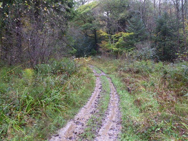
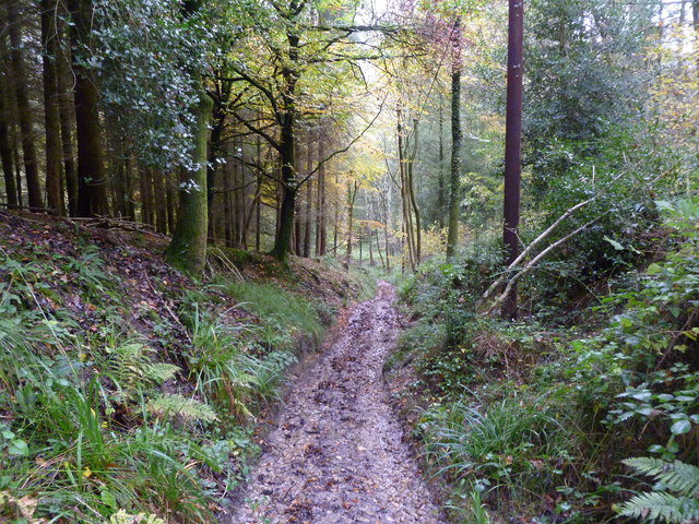
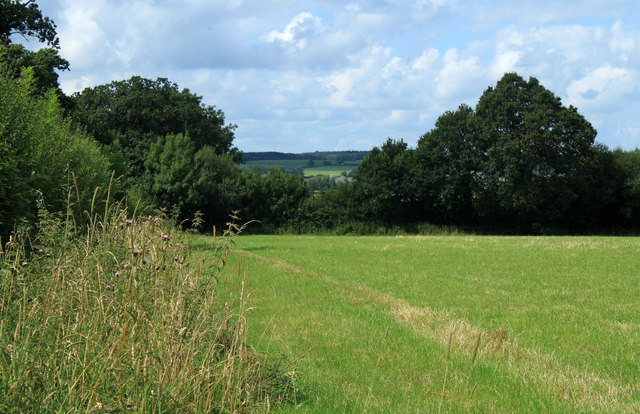
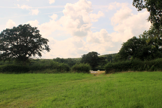
Pound Copse is a picturesque woodland located in the county of Somerset, England. Situated in the heart of the countryside, this charming copse covers an area of approximately 30 acres and is known for its abundant natural beauty.

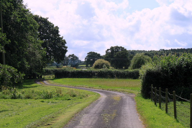
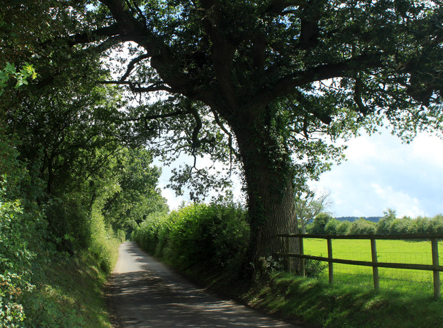
The woodland is primarily composed of various species of broadleaved trees, including oak, beech, and ash, which provide a lush and diverse habitat for a wide range of flora and fauna. The dense canopy of the trees creates a cool and tranquil atmosphere, making it a perfect destination for nature enthusiasts and hikers.

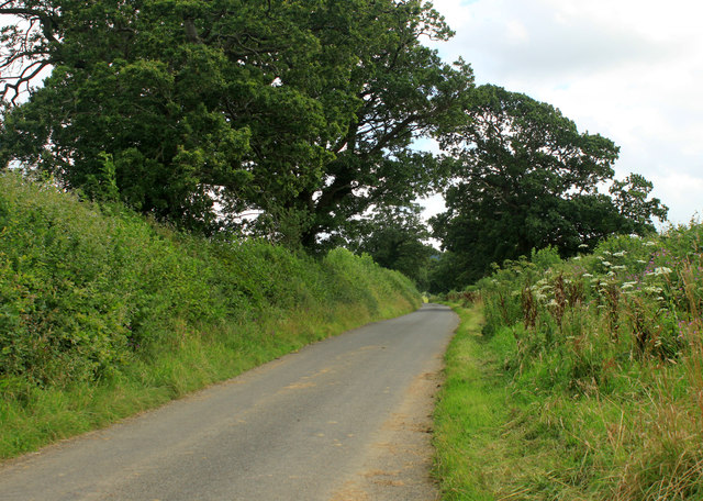
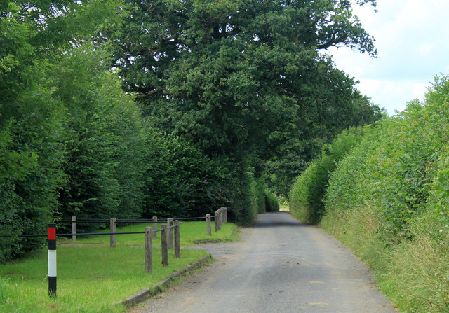
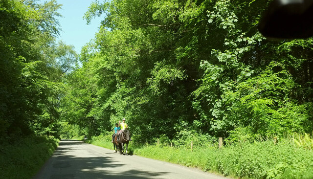
Pound Copse is crisscrossed by a network of well-maintained footpaths and bridleways, allowing visitors to explore its hidden treasures. As you wander through the copse, you will encounter a rich array of wildlife, from squirrels and rabbits to a variety of bird species. The woodland floor is carpeted with a tapestry of wildflowers during spring, adding a burst of color to the surroundings.

This woodland has a long history and has been well-preserved over the years. The local community holds a deep appreciation for Pound Copse and actively participates in its conservation efforts. The copse is managed by a dedicated team who ensure that the natural balance is maintained and that it remains accessible to the public.

Pound Copse offers a serene escape from the hustle and bustle of modern life, providing a sanctuary for those seeking solace in nature. Whether you are an avid birdwatcher, a passionate photographer, or simply someone who wants to reconnect with the great outdoors, Pound Copse is a must-visit destination in Somerset.

If you have any feedback on the listing, please let us know in the comments section below.
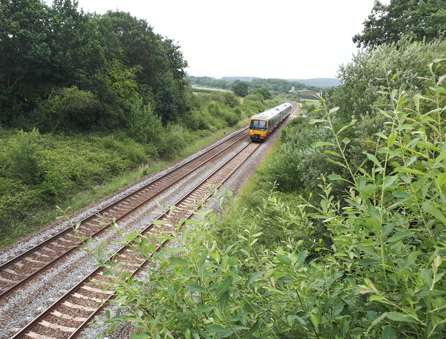
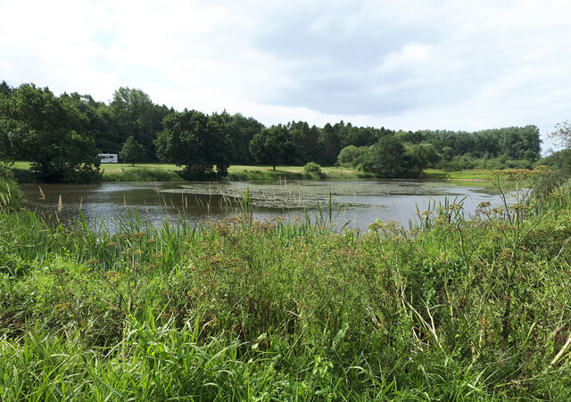
Pound Copse Images

Images are sourced within 2km of 51.160342/-2.3388629 or Grid Reference ST7640. Thanks to Geograph Open Source API. All images are credited.

Train approaching Bunns Lane overbridge The tall chimney seen in <a href="https://www.geograph.org.uk/photo/1237775">ST7642 : 2009 : A First Direct HST on the main line to Taunton</a> has now disappeared.
Train approaching Bunns Lane overbridge
The tall chimney seen in ST7642 : 2009 : A First Direct HST on the main line to Taunton has now disappeared.
Bridge over a brook on the road near Witham Hall Farm The [water] Fall marked on the OS map is not visible from the road.
Bridge over a brook on the road near Witham Hall Farm
The [water] Fall marked on the OS map is not visible from the road.
View over the lake, with caravan and motorhome site in the background The lakes are on the site of the medieval fishponds of Witham Priory.
View over the lake, with caravan and motorhome site in the background
The lakes are on the site of the medieval fishponds of Witham Priory.
Maiden Bradley, ford Shown on OS as "Ford", but in reality a dip in the track, with a 1m wide stream; there is a simple plank bridge for pedestrians, out of sight.
Maiden Bradley, ford
Shown on OS as "Ford", but in reality a dip in the track, with a 1m wide stream; there is a simple plank bridge for pedestrians, out of sight.
Gare Hill, hillside Looking down the hillside towards <a href="https://www.geograph.org.uk/photo/2680194">ST7839 : Maiden Bradley, ford</a>.
Gare Hill, hillside
Looking down the hillside towards ST7839 : Maiden Bradley, ford.
2012 : Bungalow for sale, Dark Lane  Nearly a mile south of Witham Friary.
Outside the entrance to Henleaze Farm.
2012 : Bungalow for sale, Dark Lane
Nearly a mile south of Witham Friary. Outside the entrance to Henleaze Farm.
2012 : Entrance drive to Henleaze Farm A summertime version of <a href="https://www.geograph.org.uk/photo/670934">ST7439 : Drive to Henleaze Farm</a> four years later.
Birch Hill is in the background.
2012 : Entrance drive to Henleaze Farm
A summertime version of ST7439 : Drive to Henleaze Farm four years later. Birch Hill is in the background.
2012 : Moorpartk Farm revisited A view from Dark Lane five years after <a href="https://www.geograph.org.uk/photo/466513">ST7439 : Entrance to Moorpark Farm.</a>. Not much changed, barns are a little more rusty, weather improved (for one day only).
2012 : Moorpartk Farm revisited
A view from Dark Lane five years after ST7439 : Entrance to Moorpark Farm.. Not much changed, barns are a little more rusty, weather improved (for one day only).
2012 : West from Dark Lane About one mile south of Witham Friary.
A field of uncut mowing grass, still standing due to the wet weather. Should be OK for silage if not left too long.
2012 : West from Dark Lane
About one mile south of Witham Friary. A field of uncut mowing grass, still standing due to the wet weather. Should be OK for silage if not left too long.
2012 : Stack of baled straw off Dark Lane  Or it could be silage, haven't seen much wheat in this area, more mowing grass.
2012 : Stack of baled straw off Dark Lane
Or it could be silage, haven't seen much wheat in this area, more mowing grass.
2012 : Hired low loader entering Holt Farm
2012 : Holt Farm with herd Seen from Dark Lane, Birch Hill behind.
2012 : Holt Farm with herd
Seen from Dark Lane, Birch Hill behind.
2012 : South east on Dark Lane Near the entrance to Holt Farm.
Dark Lane runs south and east from Witham Friary to a spot near Upper Gibbons Farm where it becomes Holt Road.
2012 : South east on Dark Lane
Near the entrance to Holt Farm. Dark Lane runs south and east from Witham Friary to a spot near Upper Gibbons Farm where it becomes Holt Road.
2012 : South  west from Dark Lane Near the point where it turns into Holt Road.
A field of mowing grass not long after mowing.
A fine oak tree to the right and another at the end of the hedgerow.
2012 : South west from Dark Lane
Near the point where it turns into Holt Road. A field of mowing grass not long after mowing. A fine oak tree to the right and another at the end of the hedgerow.
2012 : South west from Dark Lane  The Hermitage is partly seen through the trees and Hick's Park Wood.
Oak trees abound in this area at least two here.
Electricity pylons are notable for their absence, it can be done.
2012 : South west from Dark Lane
The Hermitage is partly seen through the trees and Hick's Park Wood. Oak trees abound in this area at least two here. Electricity pylons are notable for their absence, it can be done.
2012 : Dark Lane heading south east Somewhere along here it becomes Holt Road and passes Upper Gibbons Farm.
A couple of fine oak trees overhang the road. It's all right my beauties, Nelson won't be after you, he's long gone.
2012 : Dark Lane heading south east
Somewhere along here it becomes Holt Road and passes Upper Gibbons Farm. A couple of fine oak trees overhang the road. It's all right my beauties, Nelson won't be after you, he's long gone.
2012 : Dark Lane heading north west To Witham Friary.
The entrance on the right is a private road to The Hermitage.
2012 : Dark Lane heading north west
To Witham Friary. The entrance on the right is a private road to The Hermitage.
Deerwood Common A straight road through woodland towards Gare Hill.
Deerwood Common
A straight road through woodland towards Gare Hill.
Show me another place!

Pound Copse is located at Grid Ref: ST7640 (Lat: 51.160342, Lng: -2.3388629)

Administrative County: Somerset

District: Mendip

Police Authority: Avon and Somerset

What 3 Words

///wiping.blogging.user. Near Kilmington, Wiltshire

Related Wikis

St Michael's Church, Gare Hill

St Michael's Church is a former Church of England church at Gare Hill, Somerset, England. The church, which was designed by William Butterfield and built...

Witham Charterhouse

Witham Charterhouse, also Witham Priory, at Witham Friary, Somerset, was established in 1178/79, the earliest of the ten medieval Carthusian houses (charterhouses...

Witham (Somerset) railway station

This station in Somerset is closed. For the open station in East Anglia, see Witham railway station.Witham (Somerset) railway station was a station serving...

Witham Friary

Witham Friary is a small English village and civil parish located between the towns of Frome and Bruton in the county of Somerset. It is in the Cranborne...

Church of St Mary, Witham Friary

The Church of St Mary in Witham Friary, Somerset, England, dates from around 1200 and it has been designated as a Grade I listed building.The church was...

Bradley Woods

Bradley Woods (grid reference ST789410) is an area of woodland in Wiltshire, south of Longleat Woods and north of Gare Hill. A 48.7 hectare area within...

North Brewham Meadows

North Brewham Meadows (grid reference ST743379) is an 8.9 hectare (21.9 acre) biological Site of Special Scientific Interest at North Brewham in Somerset...

Maiden Bradley Priory

Maiden Bradley Priory was a priory in Wiltshire, England. It was founded as a leper colony in 1164, and in 1189 was handed over to the Augustinian order...

Have you been to Pound Copse?

Leave your review of Pound Copse below (or comments, questions and feedback).