Burnt Wood
Wood, Forest in Worcestershire Wyre Forest
England
Burnt Wood
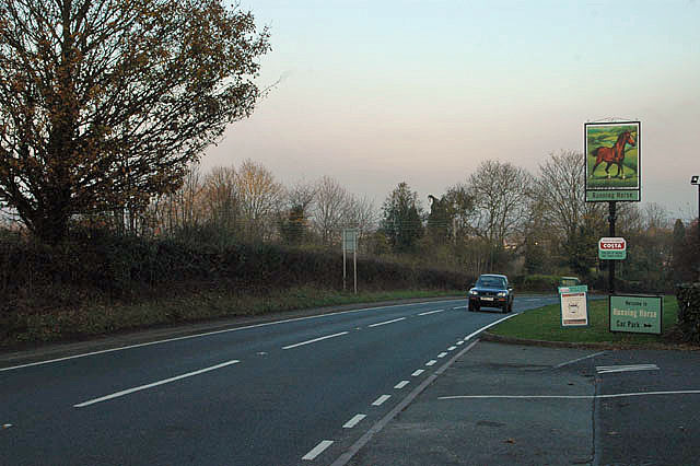
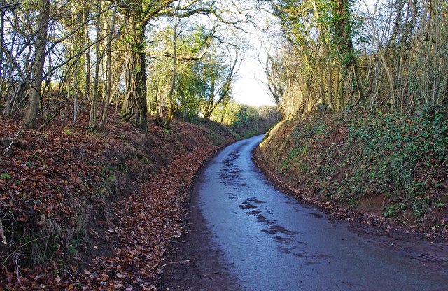
Burnt Wood is a small village located in Worcestershire, England. Nestled within the beautiful surroundings of the Forest of Wyre, it is known for its picturesque woodlands and tranquil atmosphere. The village is situated approximately 10 miles northwest of Kidderminster and is easily accessible via the A456 road.
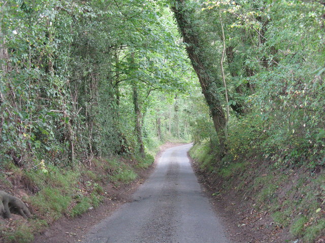
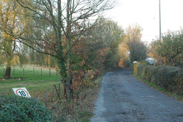
As the name suggests, Burnt Wood is surrounded by dense forests that provide a haven for wildlife and nature enthusiasts. The woodlands are home to a variety of tree species including oak, birch, and beech, creating a vibrant and diverse ecosystem. Visitors can enjoy leisurely walks through the forest, immersing themselves in the natural beauty and serenity of the area.
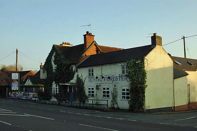
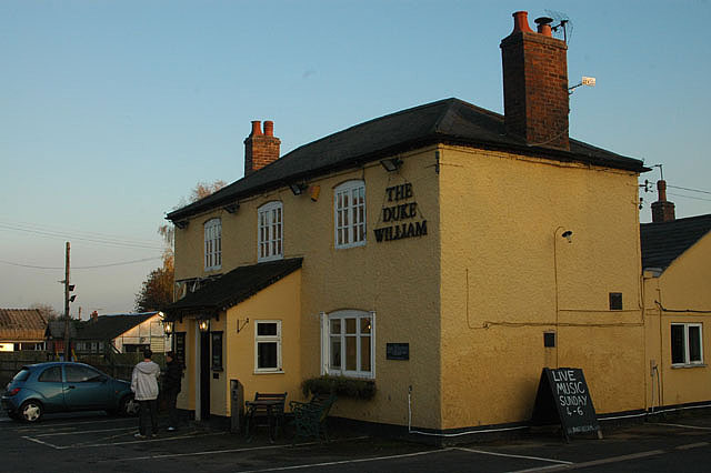
Apart from its natural attractions, Burnt Wood also boasts a close-knit community with a rich history. The village has a quaint charm, characterized by traditional cottages, a village green, and a small local pub serving delicious meals and refreshing drinks.
For those seeking outdoor activities, Burnt Wood offers opportunities for hiking, cycling, and birdwatching. The nearby Wyre Forest Visitor Centre provides information on local trails and hosts educational programs for visitors of all ages.
In conclusion, Burnt Wood is a peaceful village situated in the heart of the Forest of Wyre. Its scenic woodlands, community spirit, and range of outdoor activities make it an ideal destination for nature lovers and those seeking a break from the hustle and bustle of city life.
If you have any feedback on the listing, please let us know in the comments section below.
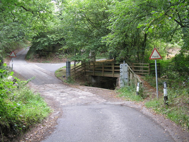
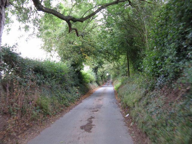
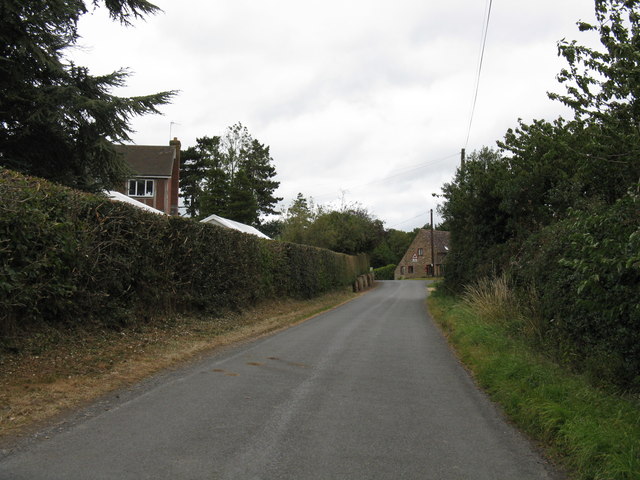
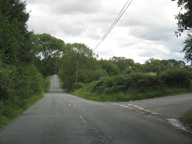
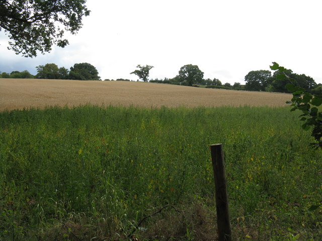
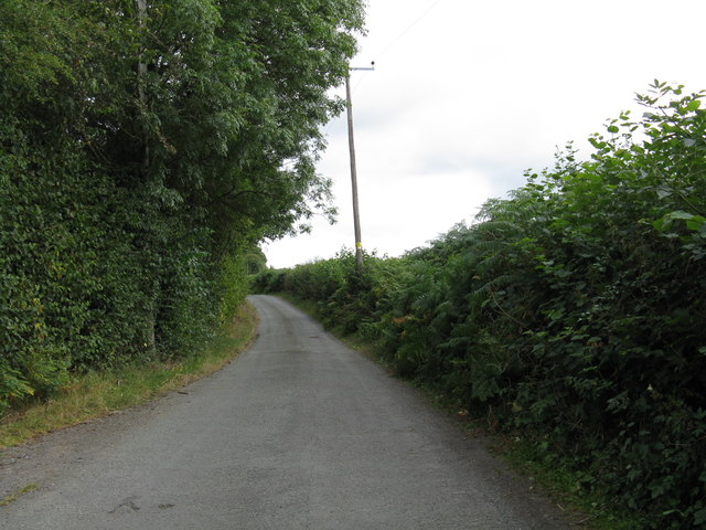
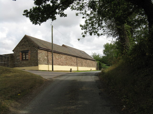
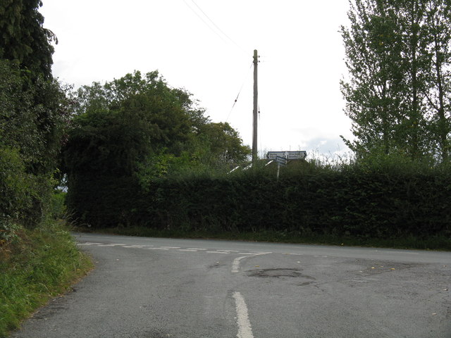
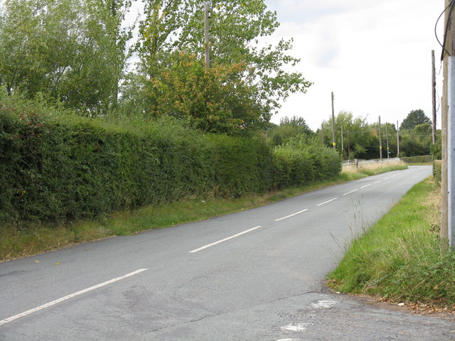
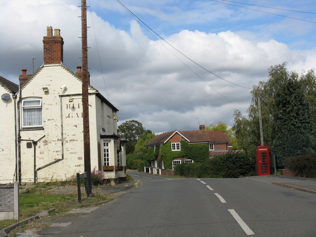
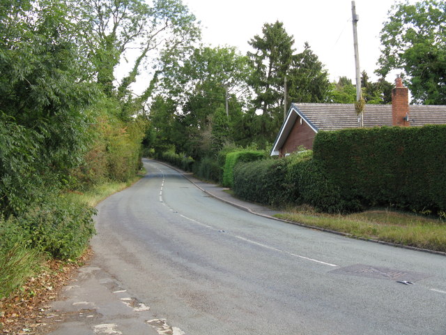
Burnt Wood Images
Images are sourced within 2km of 52.358952/-2.3490349 or Grid Reference SO7673. Thanks to Geograph Open Source API. All images are credited.

Burnt Wood is located at Grid Ref: SO7673 (Lat: 52.358952, Lng: -2.3490349)
Administrative County: Worcestershire
District: Wyre Forest
Police Authority: West Mercia
What 3 Words
///repay.elect.bucked. Near Bewdley, Worcestershire
Nearby Locations
Related Wikis

Ribbesford
Ribbesford is a village and civil parish in the Wyre Forest District of Worcestershire, England. At the 2001 census it had a population of 237.Notable...

A456 road
Known as the Hagley Road in Birmingham, the A456 is a main road in England running between Central Birmingham and Woofferton, Shropshire, south of Ludlow...

Bliss Gate
Bliss Gate is a small village in Worcestershire, England. It had many attractive tourist landmarks such as the Bliss Gate Inn (now closed) and a village...
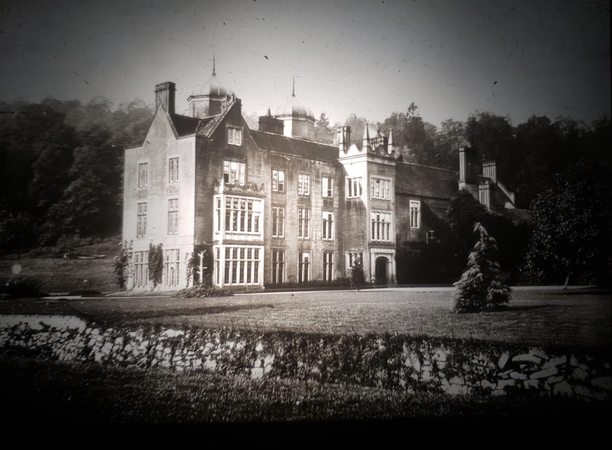
Ribbesford House
Ribbesford House is a historic English mansion in Ribbesford, near Bewdley, Worcestershire. The house and its surrounding estate have a history dating...

Heightington
Heightington is a small village in Worcestershire, England. It lies a little to the south-west of Bewdley and a little to the west of Stourport-on-Severn...

Bewdley Town F.C.
Bewdley Town Football Club is a football club based in Bewdley, Worcestershire, England. They are currently members of the Midland League Premier Division...
Tickenhill Palace
Tickenhill Palace (also known as Tickenhill House or Tickenhall Manor) is a historic building in Bewdley, Worcestershire, England. It is a grade II* listed...
Fingerpost, Worcestershire
Fingerpost is a hamlet and road junction in north Worcestershire, England, approximately 3 miles (4.8 km) west of Bewdley. It is located at the junction...
Nearby Amenities
Located within 500m of 52.358952,-2.3490349Have you been to Burnt Wood?
Leave your review of Burnt Wood below (or comments, questions and feedback).