Little Bolton Wood

Wood, Forest in Gloucestershire Stroud

England

Little Bolton Wood

The New Inn (1), Waterley Bottom, near Dursley, Glos Reached through a network of single track lanes, this public house has the feeling of being in the middle of nowhere. It is in fact not far from Dursley and also from the village of North Nibley. It is near the end of a cul-de-sac lane, although from the end there is a public footpath up Breakheart Hill. A good map or a Sat Nav system is recommended to find this pub, which has restricted opening hours. They are shown on its website.

Originally a farm cottage which served cider to workers in nearby industrial establishments. It seems to have become a pub around 1845. It still carries a range of ciders and also real ale etc. Food is served (see website) and there is a very attractive garden, and a car park.

<a href="https://www.geograph.org.uk/photo/6930531">ST7596 : The New Inn (2) - sign, Waterley Bottom, near Dursley, Glos</a>.
<a href="https://www.geograph.org.uk/photo/6930540">ST7596 : The New Inn (3) - garden, Waterley Bottom, near Dursley, Glos</a>.
<a href="https://www.geograph.org.uk/photo/6930544">ST7596 : The New Inn (4) - sculpture in garden, Waterley Bottom, near Dursley, Glos</a>.
<a href="https://www.geograph.org.uk/photo/6930554">ST7596 : The New Inn (5) - rear view, Waterley Bottom, near Dursley, Glos</a>.
The New Inn (1), Waterley Bottom, near Dursley, Glos Credit: P L Chadwick

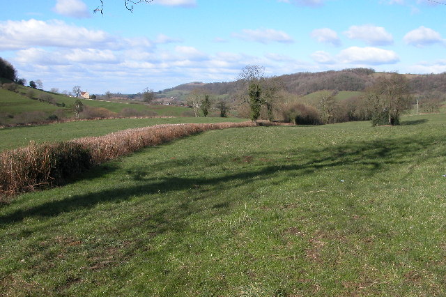
Little Bolton Wood is a picturesque woodland located in the county of Gloucestershire, England. Situated in the heart of the Forest of Dean, it is renowned for its natural beauty and tranquil atmosphere. Covering an area of approximately 100 acres, the wood is predominantly composed of native broadleaf trees such as oak, beech, and ash, creating a diverse and vibrant ecosystem.

The woodland is intersected by a meandering stream, adding to its charm and providing a habitat for various aquatic species. The forest floor is carpeted with lush vegetation, including bluebells and wild garlic, which bloom in the spring, creating a stunning display of colors. This vibrant plant life also supports a wide range of wildlife, including deer, foxes, badgers, and a multitude of bird species.

Little Bolton Wood is a popular destination for nature enthusiasts, walkers, and photographers, who are drawn to its serene ambiance and the opportunity to observe and capture the beauty of the natural surroundings. There are several well-maintained trails that wind through the wood, offering visitors the chance to explore its hidden gems and discover secluded spots perfect for picnicking or simply immersing oneself in the tranquility of nature.

The wood is managed by the Forestry Commission, ensuring the preservation and conservation of its natural resources. It is open to the public year-round, allowing visitors to enjoy the changing seasons and witness the wood's unique beauty throughout the year. Little Bolton Wood truly exemplifies the idyllic charm of the Gloucestershire countryside and remains a cherished gem in the Forest of Dean.

If you have any feedback on the listing, please let us know in the comments section below.

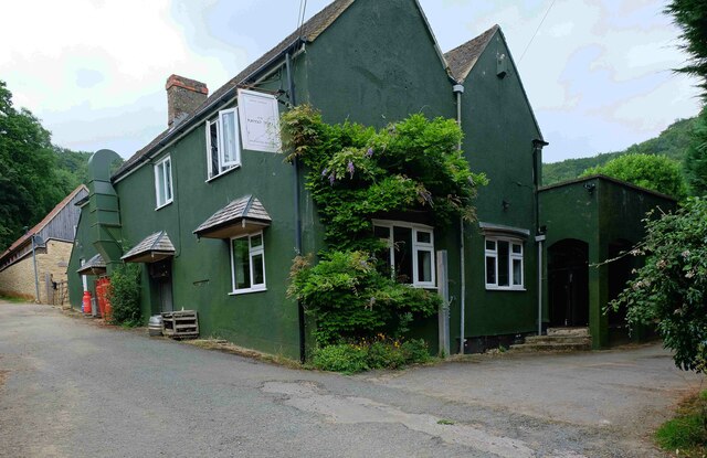
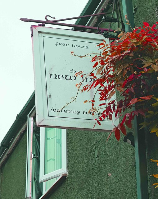
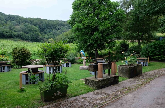
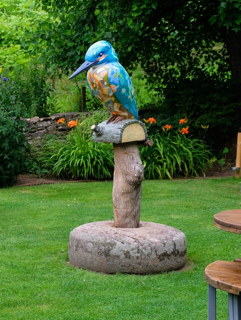
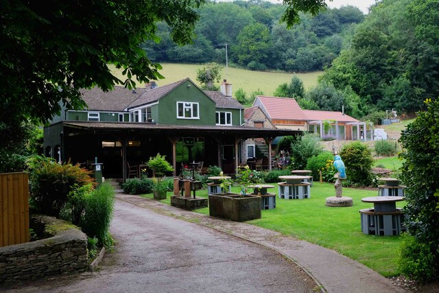
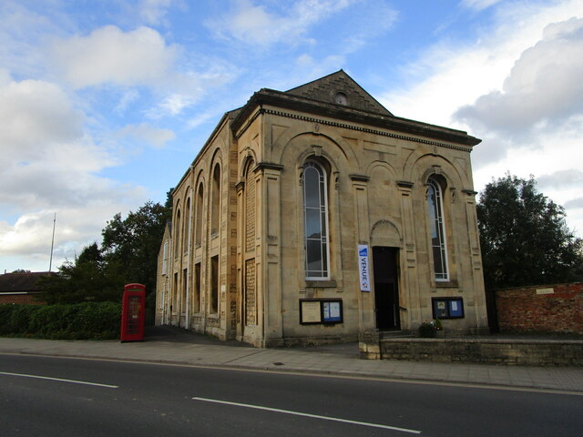
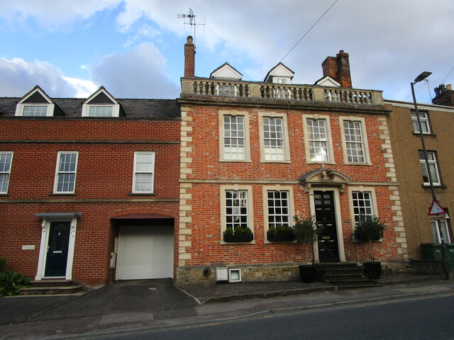
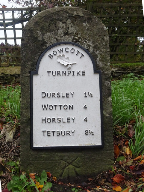
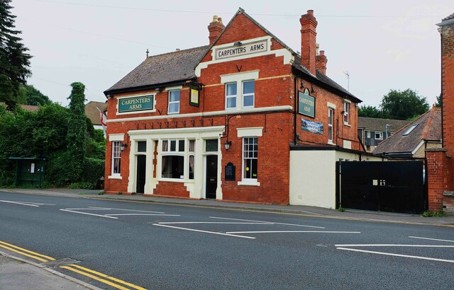
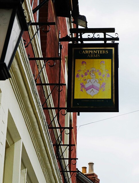
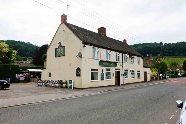
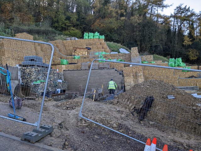
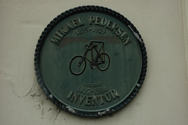
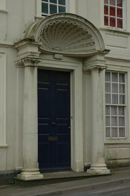
Little Bolton Wood Images

Images are sourced within 2km of 51.670945/-2.3437757 or Grid Reference ST7696. Thanks to Geograph Open Source API. All images are credited.

The New Inn (1), Waterley Bottom, near Dursley, Glos Reached through a network of single track lanes, this public house has the feeling of being in the middle of nowhere. It is in fact not far from Dursley and also from the village of North Nibley. It is near the end of a cul-de-sac lane, although from the end there is a public footpath up Breakheart Hill. A good map or a Sat Nav system is recommended to find this pub, which has restricted opening hours. They are shown on its website.

Originally a farm cottage which served cider to workers in nearby industrial establishments. It seems to have become a pub around 1845. It still carries a range of ciders and also real ale etc. Food is served (see website) and there is a very attractive garden, and a car park.

<a href="https://www.geograph.org.uk/photo/6930531">ST7596 : The New Inn (2) - sign, Waterley Bottom, near Dursley, Glos</a>.
<a href="https://www.geograph.org.uk/photo/6930540">ST7596 : The New Inn (3) - garden, Waterley Bottom, near Dursley, Glos</a>.
<a href="https://www.geograph.org.uk/photo/6930544">ST7596 : The New Inn (4) - sculpture in garden, Waterley Bottom, near Dursley, Glos</a>.
<a href="https://www.geograph.org.uk/photo/6930554">ST7596 : The New Inn (5) - rear view, Waterley Bottom, near Dursley, Glos</a>.
The New Inn (1), Waterley Bottom, near Dursley, Glos
Reached through a network of single track lanes, this public house has the feeling of being in the middle of nowhere. It is in fact not far from Dursley and also from the village of North Nibley. It is near the end of a cul-de-sac lane, although from the end there is a public footpath up Breakheart Hill. A good map or a Sat Nav system is recommended to find this pub, which has restricted opening hours. They are shown on its website. Originally a farm cottage which served cider to workers in nearby industrial establishments. It seems to have become a pub around 1845. It still carries a range of ciders and also real ale etc. Food is served (see website) and there is a very attractive garden, and a car park. ST7596 : The New Inn (2) - sign, Waterley Bottom, near Dursley, Glos. ST7596 : The New Inn (3) - garden, Waterley Bottom, near Dursley, Glos. ST7596 : The New Inn (4) - sculpture in garden, Waterley Bottom, near Dursley, Glos. ST7596 : The New Inn (5) - rear view, Waterley Bottom, near Dursley, Glos.
The New Inn (2) - sign, Waterley Bottom, near Dursley, Glos The sign states the public house is a free house. The pub has been painted an attractive dark green colour since earlier photographs on this website were taken. 

Link to other photographs:- <a href="https://www.geograph.org.uk/photo/6930525">ST7596 : The New Inn (1), Waterley Bottom, near Dursley, Glos</a>.
The New Inn (2) - sign, Waterley Bottom, near Dursley, Glos
The sign states the public house is a free house. The pub has been painted an attractive dark green colour since earlier photographs on this website were taken. Link to other photographs:- ST7596 : The New Inn (1), Waterley Bottom, near Dursley, Glos.
The New Inn (3) - garden, Waterley Bottom, near Dursley, Glos Part of the pub's attractive garden.

Link to other photographs:- <a href="https://www.geograph.org.uk/photo/6930525">ST7596 : The New Inn (1), Waterley Bottom, near Dursley, Glos</a>.
The New Inn (3) - garden, Waterley Bottom, near Dursley, Glos
Part of the pub's attractive garden. Link to other photographs:- ST7596 : The New Inn (1), Waterley Bottom, near Dursley, Glos.
The New Inn (4) - sculpture in garden, Waterley Bottom, near Dursley, Glos This sculpture of a kingfisher can be found in the garden of The New Inn.

Link to other photographs:- <a href="https://www.geograph.org.uk/photo/6930525">ST7596 : The New Inn (1), Waterley Bottom, near Dursley, Glos</a>.
The New Inn (4) - sculpture in garden, Waterley Bottom, near Dursley, Glos
This sculpture of a kingfisher can be found in the garden of The New Inn. Link to other photographs:- ST7596 : The New Inn (1), Waterley Bottom, near Dursley, Glos.
The New Inn (5) - rear view, Waterley Bottom, near Dursley, Glos A view of the rear of the pub and part of the garden, from the car park.

Link to other photographs:- <a href="https://www.geograph.org.uk/photo/6930525">ST7596 : The New Inn (1), Waterley Bottom, near Dursley, Glos</a>.
The New Inn (5) - rear view, Waterley Bottom, near Dursley, Glos
A view of the rear of the pub and part of the garden, from the car park. Link to other photographs:- ST7596 : The New Inn (1), Waterley Bottom, near Dursley, Glos.
Dursley Methodist church Dates from 1864 <span class="nowrap"><a title="https://historicengland.org.uk/listing/the-list/list-entry/1219963" rel="nofollow ugc noopener" href="https://historicengland.org.uk/listing/the-list/list-entry/1219963">Link</a><img style="margin-left:2px;" alt="External link" title="External link - shift click to open in new window" src="https://s1.geograph.org.uk/img/external.png" width="10" height="10"/></span>
Dursley Methodist church
Dates from 1864 LinkExternal link
11 Woodmancote, Dursley A distinguished house of the early to mid eighteenth century <span class="nowrap"><a title="https://historicengland.org.uk/listing/the-list/list-entry/1220809" rel="nofollow ugc noopener" href="https://historicengland.org.uk/listing/the-list/list-entry/1220809">Link</a><img style="margin-left:2px;" alt="External link" title="External link - shift click to open in new window" src="https://s1.geograph.org.uk/img/external.png" width="10" height="10"/></span>
11 Woodmancote, Dursley
A distinguished house of the early to mid eighteenth century LinkExternal link
Old Milestone  A4135, Coopers Wood Stone post by the A4135, in parish of DURSLEY (STROUD District), Coopers Wood; opposite footpath sign between house and garage on verge, by the road, on South side of road. MS erected by the Coldharbour District turnpike trust in the 19th century. The modern plate was commissioned by the house owners (behind) and installed in 2020 with advice from the Milestone Society. Cancelled BM below plate was 639.5 ft ASL.
Earlier image see <a href="https://www.geograph.org.uk/photo/6049249">ST7796 : Old Milestone by the A4135, Coopers Wood, Dursley parish</a>

Inscription: Dursley 1½ / Wotton 4 / Horsley 4 / Tetbury 8½ 

Milestone Society National ID: GL_TBDY08
Old Milestone A4135, Coopers Wood
Stone post by the A4135, in parish of DURSLEY (STROUD District), Coopers Wood; opposite footpath sign between house and garage on verge, by the road, on South side of road. MS erected by the Coldharbour District turnpike trust in the 19th century. The modern plate was commissioned by the house owners (behind) and installed in 2020 with advice from the Milestone Society. Cancelled BM below plate was 639.5 ft ASL. Earlier image see ST7796 : Old Milestone by the A4135, Coopers Wood, Dursley parish Inscription: Dursley 1½ / Wotton 4 / Horsley 4 / Tetbury 8½ Milestone Society National ID: GL_TBDY08
Carpenters Arms (1), 32 Uley Road, Dursley, Glos Traditional public house which, according to the WhatPub website, currently offers real cider but no cask ales.

<a href="https://www.geograph.org.uk/photo/7053588">ST7697 : Carpenters Arms (2) - sign, 32 Uley Road, Dursley, Glos</a>.
Carpenters Arms (1), 32 Uley Road, Dursley, Glos
Traditional public house which, according to the WhatPub website, currently offers real cider but no cask ales. ST7697 : Carpenters Arms (2) - sign, 32 Uley Road, Dursley, Glos.
Carpenters Arms (2) - sign, 32 Uley Road, Dursley, Glos The rather faded sign of the Carpenters Arms.

<a href="https://www.geograph.org.uk/photo/7053579">ST7697 : Carpenters Arms (1), 32 Uley Road, Dursley, Glos</a>.
Carpenters Arms (2) - sign, 32 Uley Road, Dursley, Glos
The rather faded sign of the Carpenters Arms. ST7697 : Carpenters Arms (1), 32 Uley Road, Dursley, Glos.
New Inn (1), 82-84 Woodmancote Road, Dursley, Glos Two bar public house, with beer garden.

<a href="https://www.geograph.org.uk/photo/7054277">ST7597 : New Inn (2) - WCA brewery plaque, 82-84 Woodmancote Road, Dursley, Glos</a>.
New Inn (1), 82-84 Woodmancote Road, Dursley, Glos
New Inn (2) - WCA brewery plaque, 82-84 Woodmancote Road, Dursley, Glos The New Inn is one of many pubs in Gloucestershire that at one time sold West Country Ales, and still retains the WCA ceramic plaque. This brand eventually became part of the Whitbread empire, and around 1967 they discontinued the provision of these plaques. The one at the New Inn is immediately to the left of the main entrance.

<a href="https://www.geograph.org.uk/photo/7054269">ST7597 : New Inn (1), 82-84 Woodmancote Road, Dursley, Glos</a>.
New Inn (2) - WCA brewery plaque, 82-84 Woodmancote Road, Dursley, Glos
The New Inn is one of many pubs in Gloucestershire that at one time sold West Country Ales, and still retains the WCA ceramic plaque. This brand eventually became part of the Whitbread empire, and around 1967 they discontinued the provision of these plaques. The one at the New Inn is immediately to the left of the main entrance. ST7597 : New Inn (1), 82-84 Woodmancote Road, Dursley, Glos.
Gabion retaining structure Large gabions containing Cotswold stone built high in order to protect the new build on a steep hillside.
Gabion retaining structure
Large gabions containing Cotswold stone built high in order to protect the new build on a steep hillside.
Plaque to Mikael Pedersen Plaque to Mikael Pedersen who lived here from 1897 to 1918.
Plaque to Mikael Pedersen
Plaque to Mikael Pedersen who lived here from 1897 to 1918.
Shell hood porch doorway Shell hood porch doorway on a house which was the home of Mikael Pedersen from 1897 to 1918.
Shell hood porch doorway
Shell hood porch doorway on a house which was the home of Mikael Pedersen from 1897 to 1918.
Rednock School The front entrance to Rednock School, Dursley, Gloucestershire.
Rednock School
The front entrance to Rednock School, Dursley, Gloucestershire.
View of Waterley Bottom Waterley Bottom viewed from footpath above Pitt Court.
View of Waterley Bottom
Waterley Bottom viewed from footpath above Pitt Court.
Spuncombe Bottom Spuncombe Bottom, one of many valleys in the south Cotswolds.
Spuncombe Bottom
Spuncombe Bottom, one of many valleys in the south Cotswolds.
Show me another place!

Little Bolton Wood is located at Grid Ref: ST7696 (Lat: 51.670945, Lng: -2.3437757)

Administrative County: Gloucestershire

District: Stroud

Police Authority: Gloucestershire

What 3 Words

///bronzer.surround.pounces. Near Dursley, Gloucestershire

Related Wikis

Woodmancote, Dursley

Woodmancote is a small village near Dursley in Gloucestershire, England.

Dursley

Dursley is a market town and civil parish in the Stroud District of Gloucestershire, England. It lies between the cities of Bristol and Gloucester. It...

Lister Hall

For the student hall of residence in Alberta, Canada, also known as Lister Hall, see Lister Centre. Lister Hall is a theatre, in Dursley, Gloucestershire...

Dursley Town Hall

Dursley Town Hall, also known as Dursley Market Hall, is a municipal building in the Market Place, Dursley, Gloucestershire, England. The structure, which...

Vale of Berkeley

The Vale of Berkeley (sometimes known as Berkeley Vale) is an area in Gloucestershire, England. It lies between the River Severn and the Cotswold Edge...

Old Spot Inn

The Old Spot Inn is a pub in Dursley, Gloucestershire, England. It was CAMRA's National Pub of the Year for 2007. == References == == External links... ==

Dursley railway station

Dursley railway station served the town of Dursley in Gloucestershire, England, and was the terminus of the short Dursley and Midland Junction Railway...

Rednock School

Rednock School is a comprehensive school located in Dursley, Gloucestershire, England. It is a specialist Science College which also contains a sixth form...

Nearby Amenities

Located within 500m of 51.670945,-2.3437757
Barrier: cattle_grid
Lat/Long: 51.6734341/-2.3386807
Bus Stop
Byron Rd
Naptan AtcoCode: 1600GLA90830
Naptan Bearing: S
Naptan CommonName: Byron Rd
Naptan NaptanCode: glogpamp
Naptan Street: Byron Rd
Naptan Verified: no
Source: naptan_import
Lat/Long: 51.6734837/-2.3448791
Bus Stop
Rangers Ave
Naptan AtcoCode: 1600GLS012
Naptan Bearing: N
Naptan CommonName: Rangers Ave
Naptan NaptanCode: gloapwdm
Naptan Street: Rangers Ave
Naptan Verified: no
Source: naptan_import
Lat/Long: 51.6747897/-2.3471595
Bus Stop
Shakespeare Road
Bus: yes
Naptan AtcoCode: 1600GLS014
Naptan Bearing: S
Naptan CommonName: Chaucer Rd
Naptan NaptanCode: gloatadg
Naptan Street: Shakespeare Rd
Naptan Verified: no
Public Transport: platform
Source: naptan_import
Lat/Long: 51.6742896/-2.3429328
Breakheart Hill
Natural: peak
Source: NPE
Lat/Long: 51.6677553/-2.3414957
Barrier: kissing_gate
Foot: yes
Lat/Long: 51.6672566/-2.3458578
Barrier: stile
Foot: yes
Lat/Long: 51.6679706/-2.3479876
Dursley Sculpture & Play Trail
Artwork Type: sculpture
Operator: Vale Vision
Tourism: attraction
Lat/Long: 51.6700052/-2.3481593
Waste Basket
Waste: dog_excrement
Lat/Long: 51.6688441/-2.3485318
Fixme: Continues. Needs survey.
Lat/Long: 51.6706564/-2.3505489
The data included in this document is from www.openstreetmap.org. The data is made available under ODbL.

Have you been to Little Bolton Wood?

Leave your review of Little Bolton Wood below (or comments, questions and feedback).