Wreden Plantation
Wood, Forest in Dorset
England
Wreden Plantation
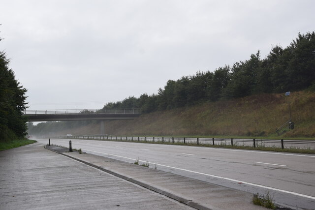
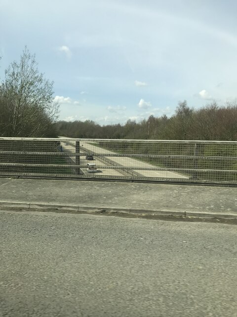
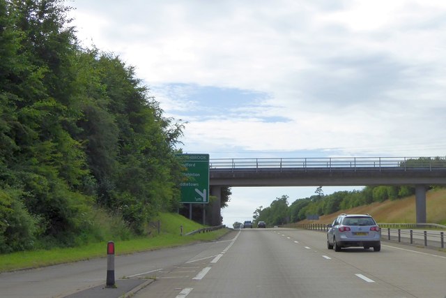
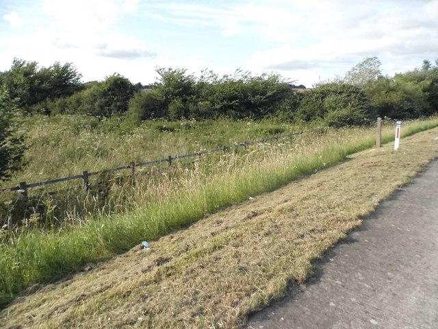
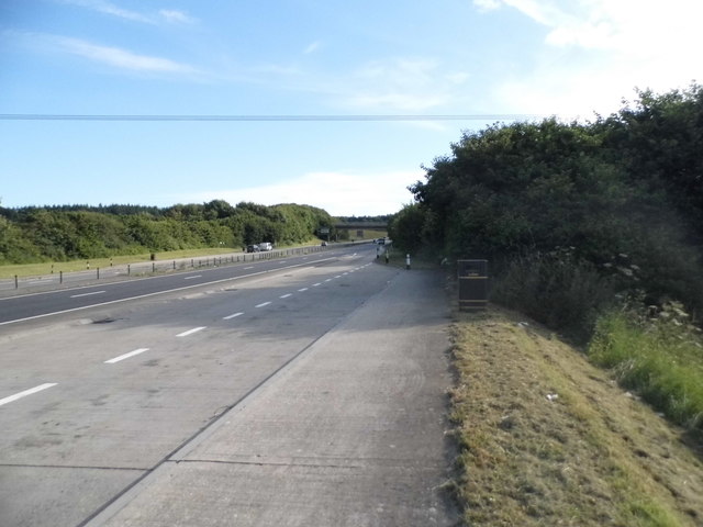
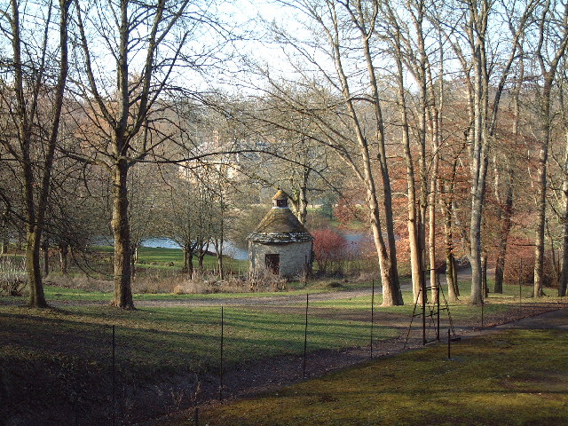
Wreden Plantation is a beautiful woodland area located in Dorset, England. Covering a vast expanse of land, it is a popular destination for nature enthusiasts and hikers alike. The plantation is predominantly composed of dense forests, with a variety of tree species such as oak, beech, and pine creating a lush and vibrant ecosystem.
The woodland is characterized by its peaceful atmosphere and tranquil surroundings, making it a perfect escape from the bustling city life. The well-maintained trails within the plantation offer visitors the opportunity to explore and immerse themselves in the natural beauty of the area. These pathways wind through the forest, providing stunning views of towering trees, colorful wildflowers, and occasional glimpses of wildlife.
Wreden Plantation also boasts a rich history, dating back several centuries. It was originally established as a hunting ground for the local nobility, and remnants of the old hunting lodges can still be found within the grounds. Archaeological discoveries have revealed evidence of human habitation in the area dating back to the Roman era, adding to its historical significance.
In addition to its natural and historical attractions, Wreden Plantation offers various recreational activities. The woodland provides an ideal setting for picnics, birdwatching, and photography, attracting visitors of all ages. The plantation is also home to a number of well-equipped picnic areas and play spaces for children, making it a fantastic destination for families.
Overall, Wreden Plantation is a captivating destination that offers a harmonious blend of natural beauty, historical significance, and recreational opportunities.
If you have any feedback on the listing, please let us know in the comments section below.
Wreden Plantation Images
Images are sourced within 2km of 50.766967/-2.3379112 or Grid Reference SY7696. Thanks to Geograph Open Source API. All images are credited.


Wreden Plantation is located at Grid Ref: SY7696 (Lat: 50.766967, Lng: -2.3379112)
Unitary Authority: Dorset
Police Authority: Dorset
What 3 Words
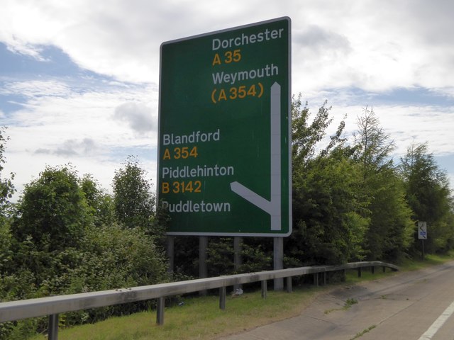
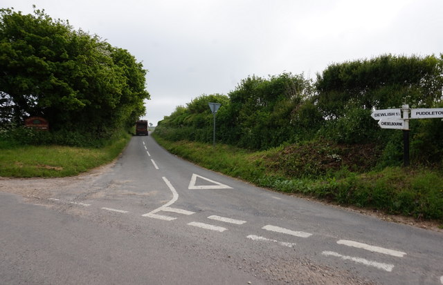
///broad.bounding.resists. Near Puddletown, Dorset
Nearby Locations
Related Wikis
Dewlish House
Dewlish House is a country house near Dewlish in Dorset. It is a Grade I Listed building. == History == Dewlish House, built in 1702, became the home of...

Puddletown Hundred
Puddletown Hundred was a hundred in the county of Dorset, England, containing the following parishes: Athelhampton Burleston Milborne St Andrew (part...

Dewlish
Dewlish is a village and civil parish in the county of Dorset in southern England, and is situated approximately 7 miles (11 km) north-east of the county...

Puddletown
Puddletown is a village and civil parish in Dorset, England. It is situated by the River Piddle, from which it derives its name, about 4.5 miles (7 km...
Dewlish (liberty)
Dewlish Liberty was a liberty in the county of Dorset, England, containing the following parishes: Dewlish Milborne St Andrew (part) == See also == List...
Athelhampton
Athelhampton (also known as Admiston or Adminston) is a settlement and civil parish in Dorset, England, situated approximately 5 miles (8 km) east of Dorchester...

Devils Brook (Dorset)
The Devils Brook is a Dorset watercourse of that rises near Higher Ansty (on Pleck Farm, in Pleck or Little Ansty), near to the source of the River Divelish...

Waterston Manor
Waterston Manor, Puddletown, Dorset is a manor house with 17th century origins, that was extensively rebuilt after a fire in 1863 and remodelled in 1911...
Nearby Amenities
Located within 500m of 50.766967,-2.3379112Have you been to Wreden Plantation?
Leave your review of Wreden Plantation below (or comments, questions and feedback).