Bayley's Coppice

Wood, Forest in Wiltshire

England

Bayley's Coppice

Looking from the woods across the pool above the Lily Pond
Looking from the woods across the pool above the Lily Pond Credit: Rod Allday

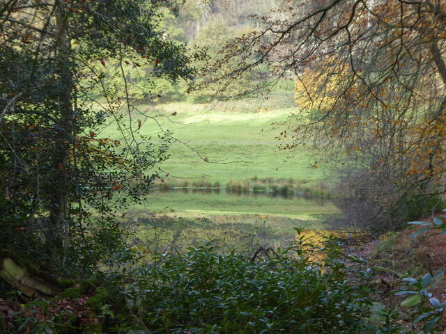
Bayley's Coppice is a serene woodland located in the county of Wiltshire, England. Situated in the southern part of the county, this enchanting forest covers an area of approximately 50 acres. It is nestled within the picturesque countryside, surrounded by rolling hills and meadows, making it a popular destination for nature enthusiasts and hikers.

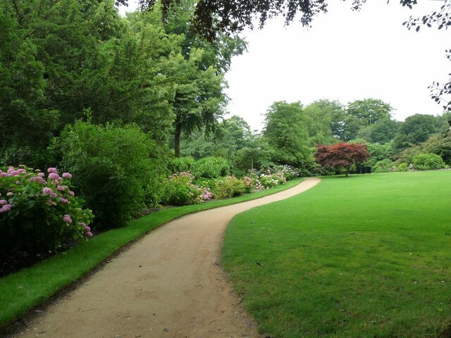
The woodland is characterized by its dense canopy of trees, primarily consisting of oak, beech, and ash trees. These majestic trees provide a haven for a diverse range of wildlife, including birds, squirrels, and deer. The forest floor is adorned with a vibrant carpet of wildflowers and ferns, creating a breathtaking sight during spring and summer.

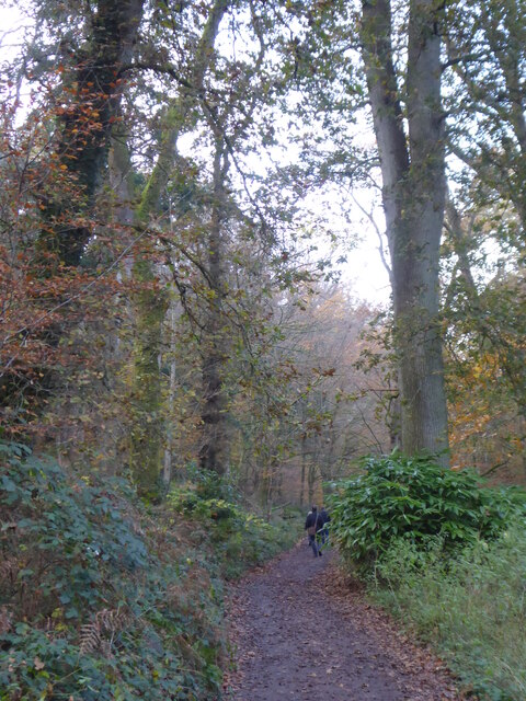
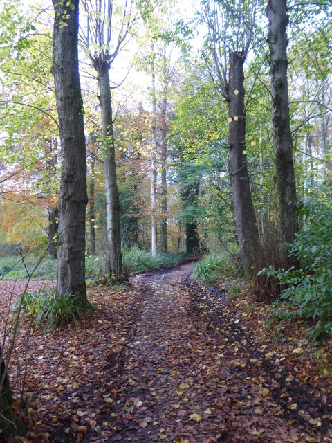
Bayley's Coppice is crisscrossed with numerous walking trails, allowing visitors to explore its natural beauty at their own pace. The paths wind through the woods, leading to hidden clearings and tranquil streams. There are also designated picnic areas where visitors can relax and enjoy a meal amidst the serenity of the forest.

The woodland is managed and maintained by the local authorities, ensuring the preservation of its natural habitat. It is a popular location for educational trips, providing an opportunity for students to learn about the flora and fauna of the region. Additionally, the forest is frequently used for recreational activities such as orienteering and camping.

Bayley's Coppice is a true gem in the heart of Wiltshire, offering a peaceful retreat from the hustle and bustle of daily life. Whether it is a leisurely stroll, a bird-watching expedition, or simply a moment of solitude in nature, this woodland provides an idyllic setting for all who visit.

If you have any feedback on the listing, please let us know in the comments section below.

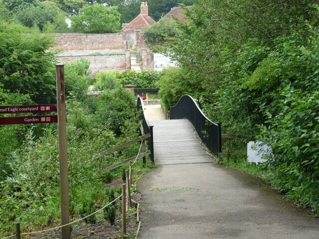
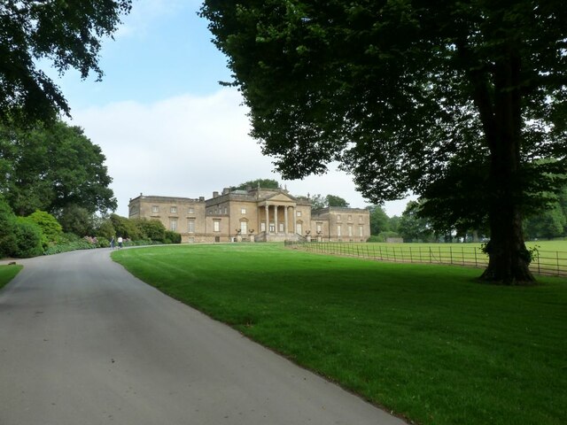
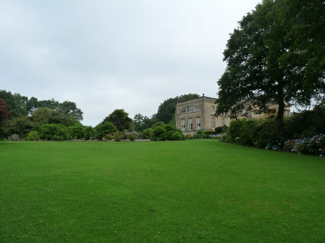
Bayley's Coppice Images

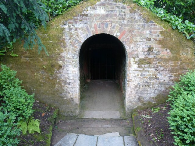
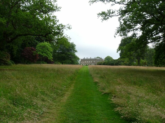
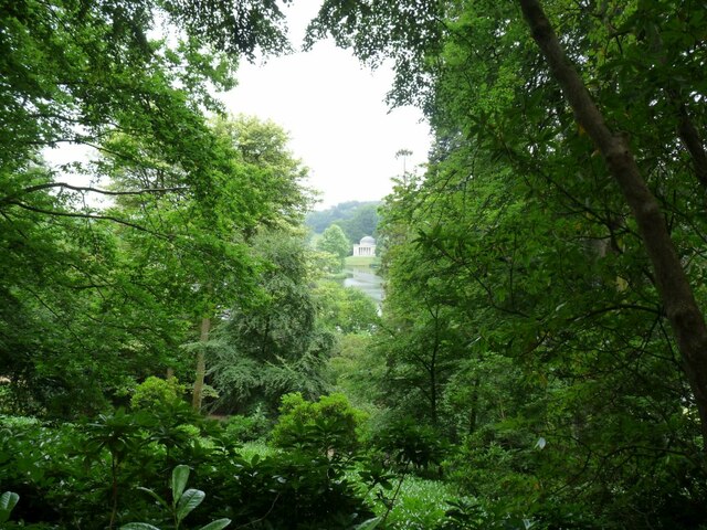
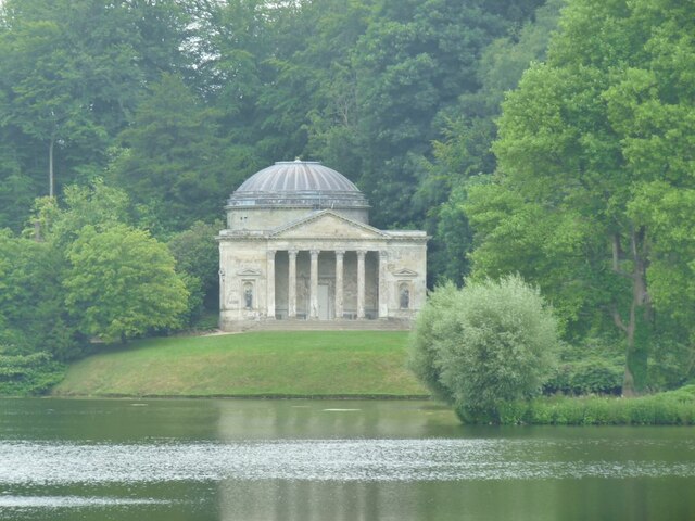
Images are sourced within 2km of 51.118722/-2.3405298 or Grid Reference ST7635. Thanks to Geograph Open Source API. All images are credited.

Looking from the woods across the pool above the Lily Pond
Path through the woods by Six Wells Bottom
Path through the woods west of Iron Bridge
Willow Sculpture Tunnel made from Willows at Stourhead Park.
Willow Sculpture
Tunnel made from Willows at Stourhead Park.
Footbridge near the Eagle Courtyard Part of the N.T. property at Stourhead.
Footbridge near the Eagle Courtyard
Part of the N.T. property at Stourhead.
Stourhead House 18th C. Palladian mansion, with extensive parkland and gardens.
Stourhead House
18th C. Palladian mansion, with extensive parkland and gardens.
Hydrangeas in the border at Stourhead Pink Hydrangeas.
Hydrangeas in the border at Stourhead
Pink Hydrangeas.
Across the lawn to Stourhead House View is of the side of the House.
Across the lawn to Stourhead House
View is of the side of the House.
The Ice House at Stourhead House Ice from the lakes was stored here for Summer use.
The Ice House at Stourhead House
Ice from the lakes was stored here for Summer use.
Grass path down to Stourhead House Looking at the rear of the property.
Grass path down to Stourhead House
Looking at the rear of the property.
View through the trees to The Pantheon One of a number of stone structures built around the lake. Modelled on the Pantheon in Rome, it was originally called the Temple of Hercules as it was home to a statue of Hercules created by Rysbrack. It was renamed the Pantheon when statues including Diana, Flora, Isis and St Susanna were added in the 1760s. Famous architect Henry Flitcroft designed the structure.
View through the trees to The Pantheon
One of a number of stone structures built around the lake. Modelled on the Pantheon in Rome, it was originally called the Temple of Hercules as it was home to a statue of Hercules created by Rysbrack. It was renamed the Pantheon when statues including Diana, Flora, Isis and St Susanna were added in the 1760s. Famous architect Henry Flitcroft designed the structure.
The Pantheon Viewed from across the lake.
The Pantheon
Viewed from across the lake.
The Palladian Bridge Inspired by the work of 16th-century architect Palladio, this five-arched stone bridge was built in 1762. Although ornamental, the bridge was intended to look practical. It was designed to create the illusion that a river flows through the village and under the bridge.
The Palladian Bridge
Inspired by the work of 16th-century architect Palladio, this five-arched stone bridge was built in 1762. Although ornamental, the bridge was intended to look practical. It was designed to create the illusion that a river flows through the village and under the bridge.
The Obelisk Stourhead House This monument was built in 1839 to replace the decaying original erected by Henry Hoare II in 1746. At its base is a memorial tablet dedicated to Henry, added by Richard Colt Hoare in 1815. At the top of the monument is a sun disc.
The Obelisk Stourhead House
This monument was built in 1839 to replace the decaying original erected by Henry Hoare II in 1746. At its base is a memorial tablet dedicated to Henry, added by Richard Colt Hoare in 1815. At the top of the monument is a sun disc.
View of the Pantheon beyond the Palladian Bridge The Gothic cottage is just to the right of the Pantheon.
View of the Pantheon beyond the Palladian Bridge
The Gothic cottage is just to the right of the Pantheon.
The Grotto Stourhead’s Grotto is a circular, domed chamber built to resemble a cave.
The Grotto
Stourhead’s Grotto is a circular, domed chamber built to resemble a cave.
View across the lake from the Temple of Apollo Henry ‘the Magnificent’ and his architect Henry Flitcroft planned the lake before work began on the garden buildings such as the Temple of Flora, Pantheon and Grotto.
View across the lake from the Temple of Apollo
Henry ‘the Magnificent’ and his architect Henry Flitcroft planned the lake before work began on the garden buildings such as the Temple of Flora, Pantheon and Grotto.
The Grotto Cool place to sit out of the sun.
The Grotto
Cool place to sit out of the sun.
Show me another place!

Bayley's Coppice is located at Grid Ref: ST7635 (Lat: 51.118722, Lng: -2.3405298)

Unitary Authority: Wiltshire

Police Authority: Wiltshire

What 3 Words

///crumple.plank.slices. Near Kilmington, Wiltshire

Related Wikis

Nearby Amenities

Located within 500m of 51.118722,-2.3405298
St Peter's Pump
Building: yes
Historic: folly
Name Ru: Водокачка святого Петра
Wikidata: Q17529452
Lat/Long: 51.1173696/-2.3427914
The data included in this document is from www.openstreetmap.org. The data is made available under ODbL.

Have you been to Bayley's Coppice?

Leave your review of Bayley's Coppice below (or comments, questions and feedback).