Barbers Gorse
Wood, Forest in Shropshire
England
Barbers Gorse

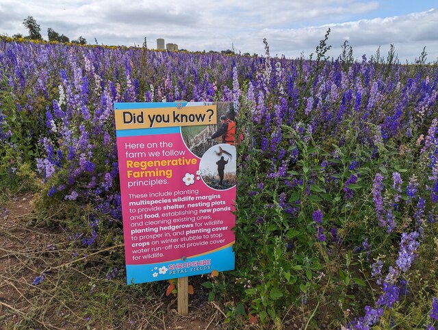
Barbers Gorse is a picturesque woodland located in the county of Shropshire, England. Covering an area of approximately 100 acres, it is a significant natural habitat and a popular destination for nature enthusiasts and hikers alike. The forest is situated near the village of Barbers Gorse, from which it takes its name.
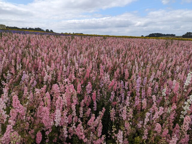
The woodland is primarily composed of native tree species such as oak, ash, and birch, which create a dense canopy that provides shade and shelter for a variety of flora and fauna. The forest floor is covered with a rich carpet of wildflowers, including bluebells, primroses, and wood anemones, which bloom in vibrant colors during the spring months.
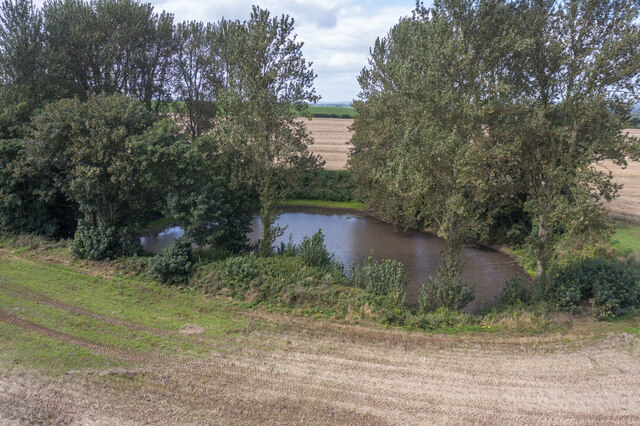
A network of well-maintained footpaths and trails meander through the woodland, offering visitors the opportunity to explore its natural beauty at their leisure. These paths lead to several viewpoints that provide stunning vistas of the surrounding countryside, including rolling hills and distant valleys.
Barbers Gorse is home to a diverse range of wildlife. Birdwatchers can spot species such as woodpeckers, owls, and various songbirds, while small mammals like squirrels, rabbits, and foxes can be glimpsed darting through the undergrowth. The forest also supports a healthy population of butterflies, bees, and other insects, adding to its ecological importance.
Managed by the local authorities, Barbers Gorse is committed to preserving its natural heritage and promoting responsible tourism. It offers educational programs and guided walks, allowing visitors to learn more about the woodland's ecosystems and conservation efforts.
Overall, Barbers Gorse is a tranquil and enchanting woodland, providing a haven for wildlife and a peaceful escape for those seeking to connect with nature.
If you have any feedback on the listing, please let us know in the comments section below.
Barbers Gorse Images
Images are sourced within 2km of 52.728951/-2.3548719 or Grid Reference SJ7614. Thanks to Geograph Open Source API. All images are credited.


Barbers Gorse is located at Grid Ref: SJ7614 (Lat: 52.728951, Lng: -2.3548719)
Unitary Authority: Shropshire
Police Authority: West Mercia
What 3 Words
///pods.shuttling.lion. Near Woodcote, Shropshire
Nearby Locations
Related Wikis

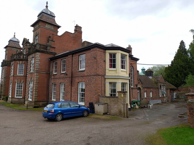
Woodcote Hall
Woodcote Hall is a nursing home situated on the edge of Newport, Shropshire, England, on the Staffordshire border. == House == It was until the early 20th...
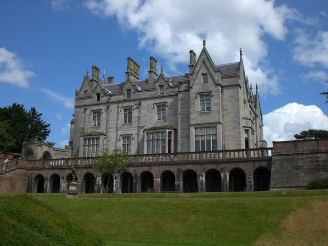
Lilleshall Hall
Lilleshall Hall is a large former country house and estate in the fields of Lilleshall, Shropshire, England. It is run by Serco Leisure Operating Ltd...

Lilyhurst
Lilyhurst is a small hamlet near Lilleshall and Sheriffhales in Shropshire. It has a population of roughly 20 people. It is part of the parish of Sheriffhales...

Pave Lane
Pave Lane is a hamlet in Shropshire, England, 1.5 miles (2.4 km) south of Newport, just outside the small village of Chetwynd Aston. It is an affluent...
Chadwell, Shropshire
Chadwell is a hamlet in the county of Shropshire, England. It lies 1/2 mile west of the village of Great Chatwell over the Staffordshire border and comprises...

Sheriffhales
Sheriffhales is a scattered village in Shropshire, England, 4.3 miles (7 km) north-east of Telford, 2.5 miles (4 km) north of Shifnal and 4.3 miles (7...

Lilleshall Abbey
Lilleshall Abbey was an Augustinian abbey in Shropshire, England, today located 6 miles (9.7 km) north of Telford. It was founded between 1145 and 1148...
Lilleshall
Lilleshall is a village and civil parish in the county of Shropshire, England. It lies between the towns of Telford and Newport, on the A518, in the Telford...
Have you been to Barbers Gorse?
Leave your review of Barbers Gorse below (or comments, questions and feedback).