Sheepwalk Coppice

Wood, Forest in Shropshire

England

Sheepwalk Coppice

Church of St. Peter the Apostle, Worfield
Church of St. Peter the Apostle, Worfield Credit: Geoff Pick

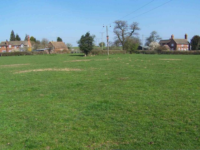
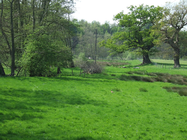
Sheepwalk Coppice is a picturesque woodland located in Shropshire, England. This enchanting coppice covers an area of approximately 25 acres and is known for its dense vegetation and diverse wildlife.

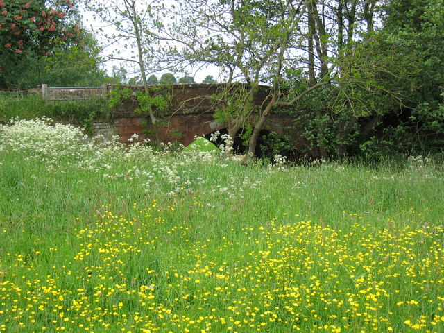
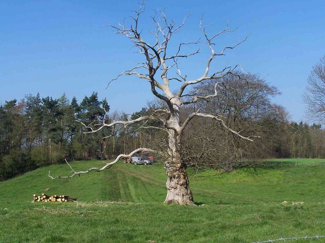
The woodland is characterized by a mix of broadleaf trees such as oak, ash, and beech, creating a lush canopy that provides shade and shelter for the various species that inhabit the area. The forest floor is carpeted with an assortment of wildflowers, ferns, and mosses, adding to the natural beauty of the coppice.

Sheepwalk Coppice is home to a rich variety of wildlife, including several bird species like woodpeckers, thrushes, and owls. The woodland also attracts small mammals such as foxes, badgers, and rabbits, as well as a range of insects and butterflies.

Throughout the year, the coppice offers visitors stunning displays of seasonal colors. In spring, the woodland bursts into life with vibrant blossoms and fresh green foliage. In autumn, the trees transform into a breathtaking palette of red, orange, and gold, creating a truly spectacular sight.

The coppice is a popular destination for nature enthusiasts, hikers, and photographers. It offers several walking trails that wind through the woodland, allowing visitors to explore its hidden corners and discover its natural wonders. The peaceful atmosphere and tranquil surroundings make Sheepwalk Coppice an ideal place for relaxation and contemplation.

Overall, Sheepwalk Coppice in Shropshire is a captivating woodland that showcases the beauty and diversity of the English countryside. Its stunning landscapes and thriving ecosystem make it a must-visit destination for nature lovers and those seeking a peaceful retreat.

If you have any feedback on the listing, please let us know in the comments section below.

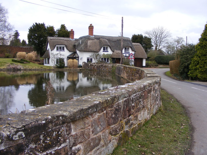
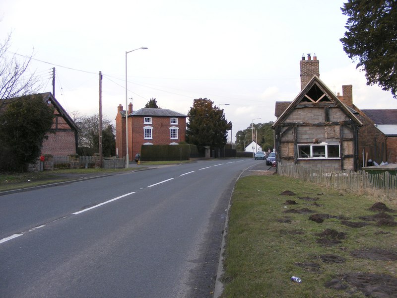
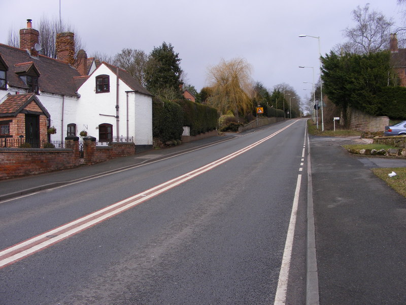
Sheepwalk Coppice Images

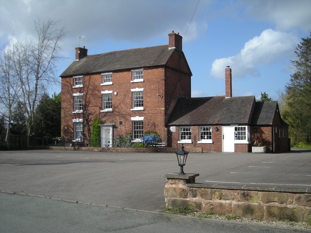
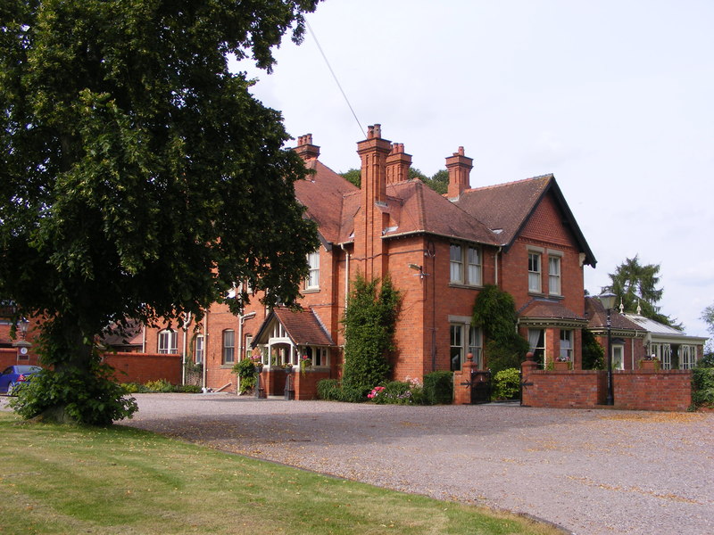
Images are sourced within 2km of 52.57326/-2.3538931 or Grid Reference SO7697. Thanks to Geograph Open Source API. All images are credited.

Church of St. Peter the Apostle, Worfield
Olde Worfield Typical of the village is this sort of house, which is just across the road from St Peter's church.
Olde Worfield
Typical of the village is this sort of house, which is just across the road from St Peter's church.
St Peter's Church Red sandstone Church of England church, believed to have been built in the 14th Century (with some parts standing since the previous century). It was restored in 1862.
St Peter's Church
Red sandstone Church of England church, believed to have been built in the 14th Century (with some parts standing since the previous century). It was restored in 1862.
Worfield Village Stores The local shop, on Worfield's Main St, with the good old red telephone box still in place. The post box still boasts some instructions from George VI's time...
Worfield Village Stores
The local shop, on Worfield's Main St, with the good old red telephone box still in place. The post box still boasts some instructions from George VI's time...
Woodland in the valley of the River Worfe
Stableford Lodge, Stableford
Bridge over the River Worfe at Stableford
Golf Course at Chesterton The corner of the golf course viewed through the thin band of woodland.
Golf Course at Chesterton
The corner of the golf course viewed through the thin band of woodland.
Woodland Near Worfield
The Bog
The Bog
Catstree
Catstree
Hartlebury
Hartlebury
Hartlebury
Hartlebury
Riding enclosure near Bradney in Shropshire Several paddocks are carefully fenced off nearby. This rectangle is covered in sand, and has floodlighting facilities.
Riding enclosure near Bradney in Shropshire
Several paddocks are carefully fenced off nearby. This rectangle is covered in sand, and has floodlighting facilities.
Footpath through fields near Bradney in Shropshire The public footpath, which follows the edge of the field here, has just come through a plant nursery at Worfield and is passing Rowley Farm 300 metres to the right of the picture.
Footpath through fields near Bradney in Shropshire
The public footpath, which follows the edge of the field here, has just come through a plant nursery at Worfield and is passing Rowley Farm 300 metres to the right of the picture.
Rural footpath approaching Folley in Shropshire This public footpath to Folley (which used to have a pub) has led through the fields for a mile and a half from Worfield (which still has a pub, highly rated in 2023 on line reviews).
Rural footpath approaching Folley in Shropshire
This public footpath to Folley (which used to have a pub) has led through the fields for a mile and a half from Worfield (which still has a pub, highly rated in 2023 on line reviews).
Pasture by the brook  at Stableford in Shropshire Lush grazing meadows by the brook, which flows into the River Worfe. The image was taken from Stableford Bridge.
Pasture by the brook at Stableford in Shropshire
Lush grazing meadows by the brook, which flows into the River Worfe. The image was taken from Stableford Bridge.
Stratford Brook near Hilton in Shropshire Looking south-west from the B4176, the brook flows through extensive grazing land presently being grazed by sheep.
Stratford Brook near Hilton in Shropshire
Looking south-west from the B4176, the brook flows through extensive grazing land presently being grazed by sheep.
Show me another place!

Sheepwalk Coppice is located at Grid Ref: SO7697 (Lat: 52.57326, Lng: -2.3538931)

Unitary Authority: Shropshire

Police Authority: West Mercia

What 3 Words

///departure.escorting.blemishes. Near Ryton, Shropshire

Related Wikis

Ackleton

Ackleton is a village in the English county of Shropshire. It is in the civil parish of Worfield. Situated some seven miles (11 kilometers) from the market...

Worfield

Worfield is a village and civil parish in Shropshire in the West Midlands, England. It is 120 miles (190 km) northwest of London and 10 miles (16 km) west...

Davenport House, Worfield

Davenport House is an historic country house in the English village of Worfield, Shropshire. Located to the southwest of the village centre, it was built...

Badger, Shropshire

Badger is a village and civil parish in Shropshire, England, about six miles north-east of Bridgnorth. The parish had a population of 134 according to...

Wyken, Shropshire

Wyken is a hamlet in the English county of Shropshire. Wyken is located on the A454 road between Bridgnorth and Wolverhampton. The nearest village is Worfield...

Hilton, Shropshire

Hilton is a village in Shropshire, England. == See also == Listed buildings in Worfield == References == The geographic coordinates are from the Ordnance...

Burcote

Burcote is a village near Bridgnorth in Shropshire, England. == External links == Media related to Burcote at Wikimedia Commons

A442 road

The A442 is a main road which passes through the counties of Worcestershire and Shropshire, in the West Midlands region of England. == Route == From Droitwich...

Nearby Amenities

Located within 500m of 52.57326,-2.3538931
Power: pole
Lat/Long: 52.5743189/-2.3485315
Power: pole
Lat/Long: 52.5749318/-2.3505485
Power: pole
Lat/Long: 52.5755023/-2.3523188
Power: pole
Lat/Long: 52.5761739/-2.3545075
Power: pole
Lat/Long: 52.576909/-2.3569294
The data included in this document is from www.openstreetmap.org. The data is made available under ODbL.

Have you been to Sheepwalk Coppice?

Leave your review of Sheepwalk Coppice below (or comments, questions and feedback).