Broadley Coppice
Wood, Forest in Worcestershire Malvern Hills
England
Broadley Coppice

Broadley Coppice is a picturesque woodland located in Worcestershire, England. Covering an area of approximately 50 acres, it is nestled in the heart of the county and is a popular destination for nature lovers and outdoor enthusiasts.
The woodland is predominantly composed of native broadleaf trees, such as oak, beech, and birch, which create a diverse and vibrant ecosystem. The dense canopy provides a cool and tranquil environment, making it an ideal spot for a peaceful walk or picnic.
Broadley Coppice is home to a wide variety of wildlife, including deer, badgers, foxes, and a plethora of bird species. Birdwatchers can spot woodpeckers, owls, and various songbirds throughout the year.
The woodland offers a network of well-maintained footpaths, allowing visitors to explore the area and discover its hidden treasures. There are also several designated nature trails that provide educational information about the local flora and fauna.
In addition to its natural beauty, Broadley Coppice has historical significance. The wood has been managed sustainably for centuries and has played a vital role in the local timber industry. Traditional woodland management techniques, such as coppicing, have been practiced here for generations, contributing to the preservation of this ancient woodland.
Overall, Broadley Coppice is a captivating woodland that offers a peaceful escape from the hustle and bustle of modern life. Its rich biodiversity, well-maintained trails, and historical significance make it a must-visit destination for nature enthusiasts and those seeking a deeper connection with the natural world.
If you have any feedback on the listing, please let us know in the comments section below.
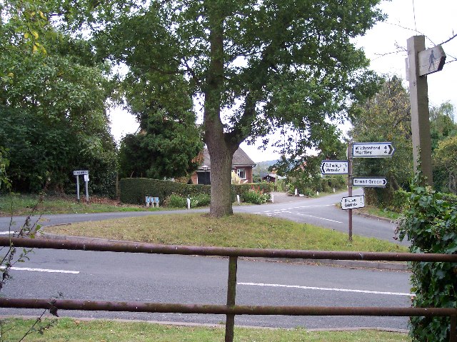
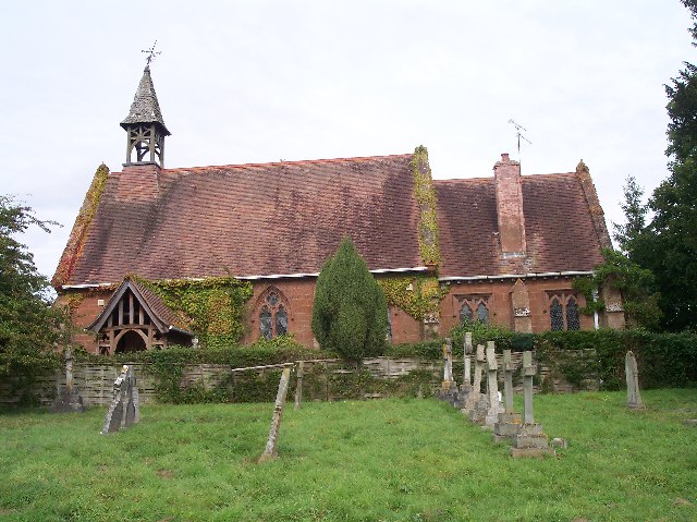
Broadley Coppice Images
Images are sourced within 2km of 52.206658/-2.3516003 or Grid Reference SO7656. Thanks to Geograph Open Source API. All images are credited.


Broadley Coppice is located at Grid Ref: SO7656 (Lat: 52.206658, Lng: -2.3516003)
Administrative County: Worcestershire
District: Malvern Hills
Police Authority: West Mercia
What 3 Words
///half.worms.embodied. Near Lower Broadheath, Worcestershire
Nearby Locations
Related Wikis

Doddenham
Doddenham is a hamlet and civil parish (with Knightwick) in the Malvern Hills district in the county of Worcestershire, England. Doddenham was in the...

Stanford with Orleton
Stanford with Orleton is a civil parish in the Malvern Hills district, in the county of Worcestershire, England. The parish comprises the villages of Stanford...
Broadwas
Broadwas, or Broadwas-on-Teme, is a village and civil parish (with Cotheridge) in the Malvern Hills district of Worcestershire, England. According to...
Lulsley
Lulsley is a village and civil parish in the Malvern Hills District of the county of Worcestershire, England, UK. == History == Lulsley was in the upper...

Berrow Green
Berrow Green is a village in Worcestershire, England. == Berrow Hill Camp == Berrow Green is situated just below Berrow Hill Camp, an Iron Age encampment...

Ankerdine Hill
Ankerdine Hill is a hill with a summit at 149 metres (489 ft) above sea level, in the civil parish of Doddenham in the Malvern Hills district of Worcestershire...

Osebury Rock
Osebury Rock (also known as Oseberrow or Rosebury) is a cliff on the River Teme near Lulsley in Worcestershire, England where fragmentary rocks of the...

Knightwick railway station
Knightwick railway station was a station in Knightwick, Worcestershire, England. The station was opened on 2 May 1874 and closed on 7 September 1964....
Nearby Amenities
Located within 500m of 52.206658,-2.3516003Have you been to Broadley Coppice?
Leave your review of Broadley Coppice below (or comments, questions and feedback).