Ardgayhill
Settlement in Ross-shire
Scotland
Ardgayhill

Ardgayhill is a picturesque village located in the county of Ross-shire, Scotland. Situated in the northern part of the country, it is nestled amidst the stunning Scottish Highlands, providing residents and visitors alike with breathtaking natural beauty.
The village is home to a close-knit community, with a population of approximately 400 people. Ardgayhill boasts a peaceful and tranquil atmosphere, making it an appealing destination for those seeking a quiet and idyllic place to reside or explore.
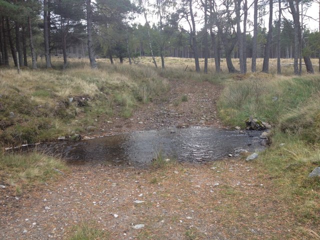
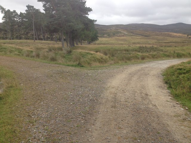
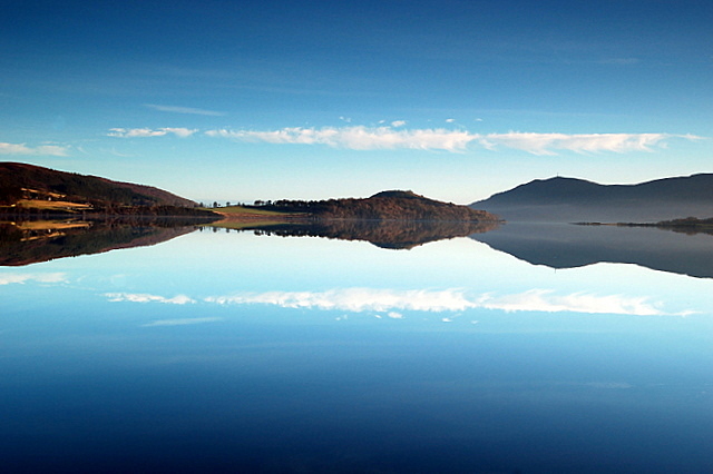
Nature enthusiasts will find themselves in paradise in Ardgayhill, as it is surrounded by lush greenery, rolling hills, and enchanting forests. The area offers numerous opportunities for outdoor activities such as hiking, cycling, and fishing. The nearby Kyle of Sutherland, a picturesque estuary, is a haven for birdwatchers, attracting a diverse range of species.
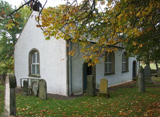
Ardgayhill is also steeped in history, with several historic sites and landmarks dotting its landscape. The Ardgayhill Church, a charming white-washed building dating back to the 19th century, stands as a testament to the village's rich heritage.
Although Ardgayhill is a small village, it offers essential amenities to its residents, including a primary school, a community hall, and a local shop. For more extensive facilities and services, the nearby town of Tain is easily accessible.
In conclusion, Ardgayhill is a hidden gem in the Scottish Highlands, providing a peaceful and picturesque retreat for those seeking solace in nature and a close community spirit.
If you have any feedback on the listing, please let us know in the comments section below.
Ardgayhill Images
Images are sourced within 2km of 57.880151/-4.37198 or Grid Reference NH5990. Thanks to Geograph Open Source API. All images are credited.


Ardgayhill is located at Grid Ref: NH5990 (Lat: 57.880151, Lng: -4.37198)
Unitary Authority: Highland
Police Authority: Highlands and Islands
What 3 Words
///bandstand.bandstand.workouts. Near Lairg, Highland
Nearby Locations
Related Wikis

Ardgay
Ardgay ard-GY (Scottish Gaelic: Àird Gaoith or Àird Ghaoithe) ["high wind" - see below Further reading: MacGregor] is a small Scottish village on the...
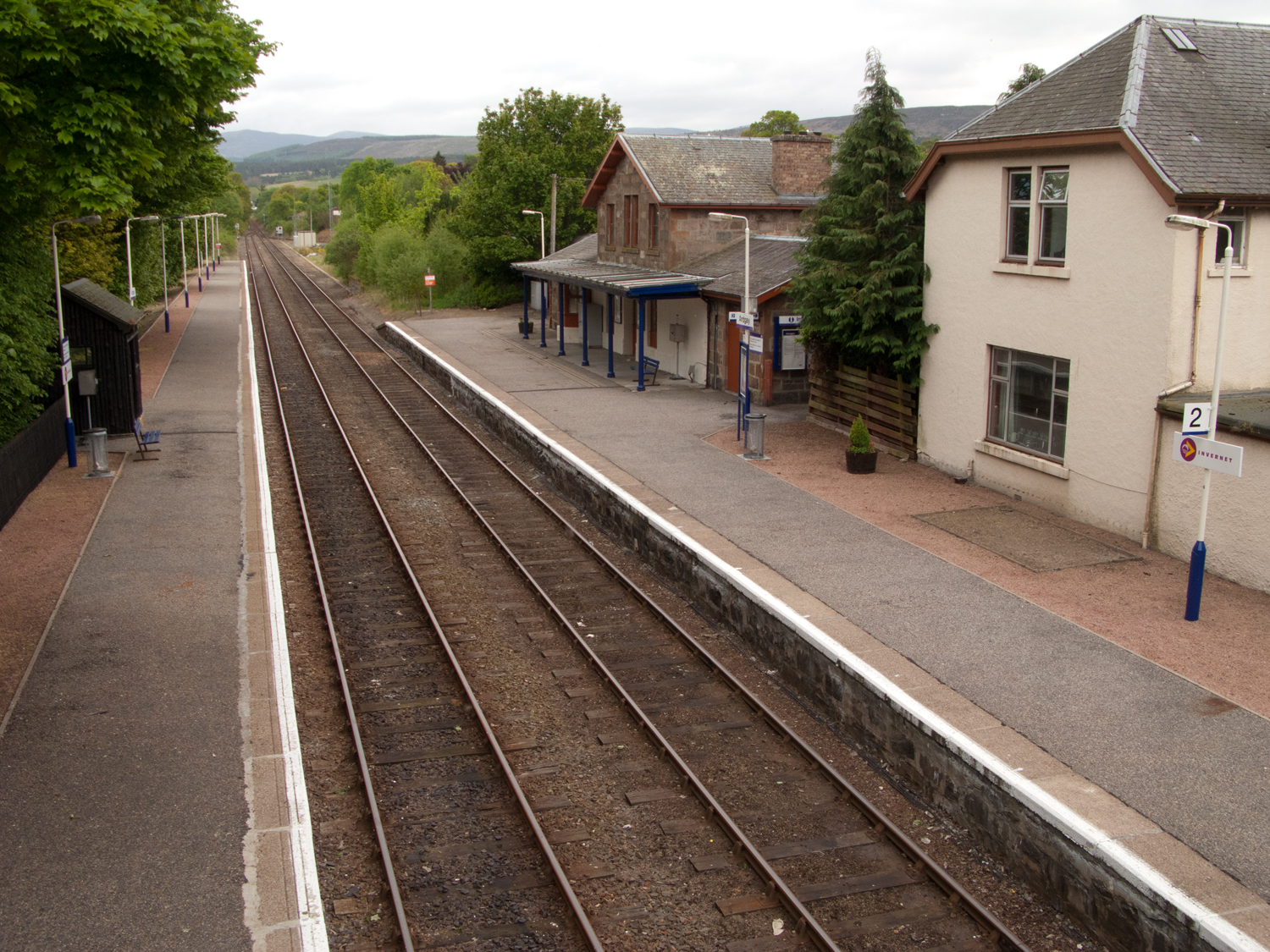
Ardgay railway station
Ardgay railway station is a railway station serving the village of Ardgay and its neighbour Bonar Bridge in the Highland council area of Scotland. The...
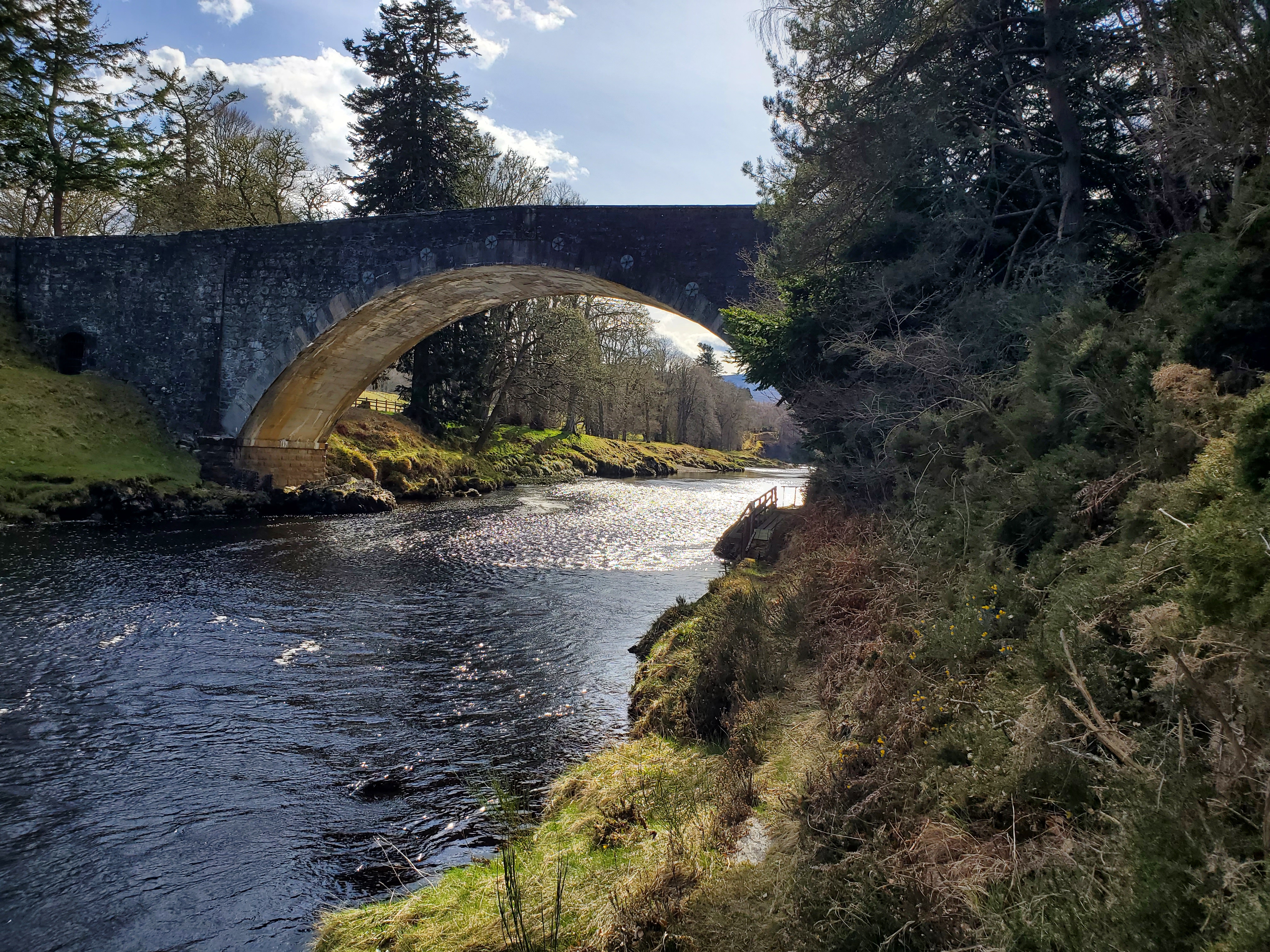
Carron Bridge (Sutherland, Scotland)
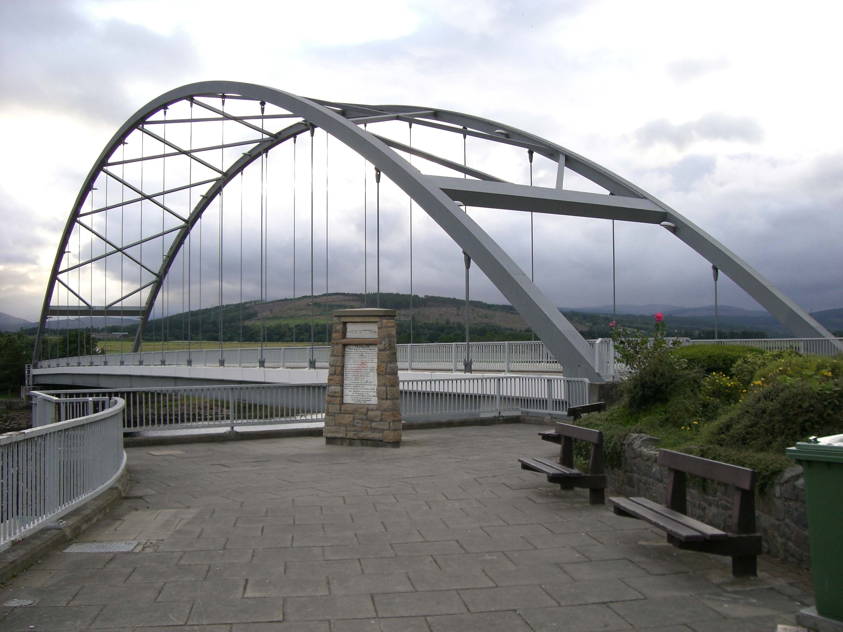
The Carron Bridge is a bridge over the River Carron near Ardgay in Sutherland, Scotland. == Description == The Carron Bridge is located near the town of...
Kincardine, Sutherland
Kincardine (Scottish Gaelic: Cinn Chàrdainn) is a small hamlet in Sutherland, situated on the west end of the south shore of the Dornoch Firth. The village...

River Carron, Sutherland
The River Carron (Scottish Gaelic: Carrann) is an east coast river in Sutherland, in the Highlands of Scotland. It begins as Abhainn a' Ghlinne Mhòir...
Migdale Hospital
The Migdale Hospital is a health facility in Bonar Bridge, Scotland. It is managed by NHS Highland. == History == The facility has its origins in the Sutherland...
Bonar Bridge
Bonar Bridge (Scottish Gaelic: Drochaid a' Bhanna, pronounced [ˈt̪ɾɔxɪtʲ ə ˈvan̪ˠə]) is a village on the north bank of the Kyle of Sutherland to the west...
Ardchronie
Ardchronie (Scottish Gaelic: Àird Chrònaidh) is a hamlet in the Highland Council area of Scotland. It lies on the south side of the Dornoch Firth, about...
Nearby Amenities
Located within 500m of 57.880151,-4.37198Have you been to Ardgayhill?
Leave your review of Ardgayhill below (or comments, questions and feedback).