Pole Coppice
Wood, Forest in Dorset
England
Pole Coppice
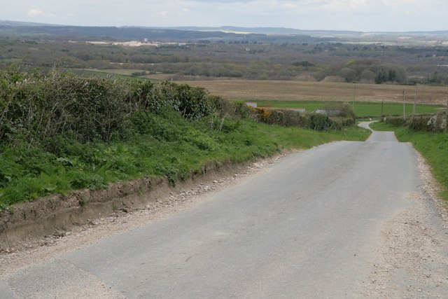
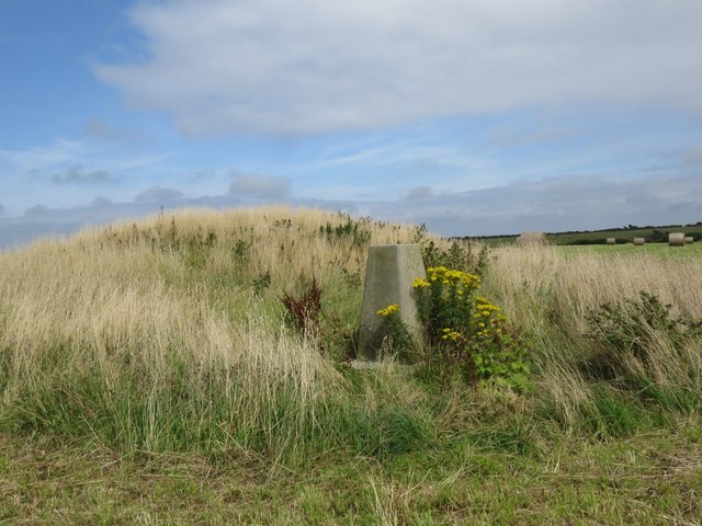
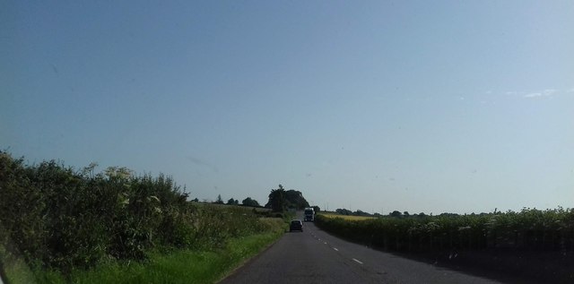
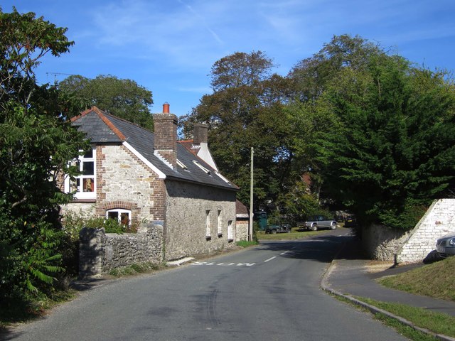
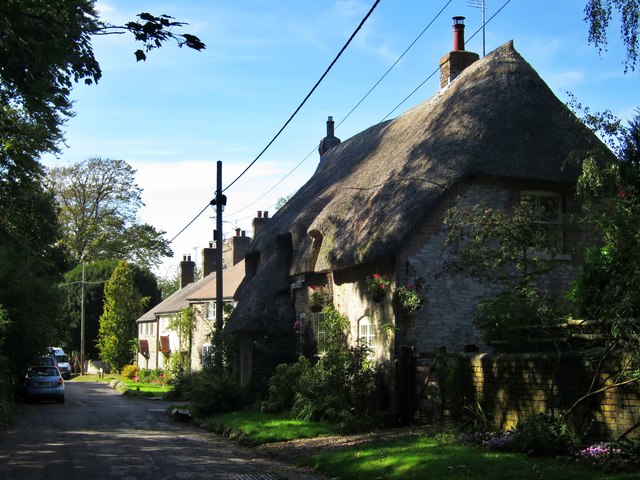
Pole Coppice is a picturesque woodland located in the county of Dorset, England. Covering an area of approximately 100 acres, it is known for its dense and diverse collection of trees, making it a popular destination for nature lovers and outdoor enthusiasts.
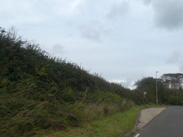
The woodland is primarily composed of coppiced trees, which are regularly cut back to ground level to encourage new growth. This traditional management technique has resulted in a vibrant and healthy ecosystem, with a rich variety of flora and fauna. Visitors to Pole Coppice can expect to see a range of tree species, including oak, beech, ash, and birch, as well as an array of wildflowers, ferns, and mosses.
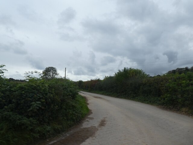
The forest offers a network of well-maintained footpaths, allowing visitors to explore its beauty at their own pace. These pathways meander through the woodland, leading to secluded clearings, tranquil streams, and hidden ponds. The peaceful ambiance of Pole Coppice provides a perfect escape from the hustle and bustle of everyday life, offering visitors a chance to connect with nature and recharge.
The woodland is also home to a variety of wildlife, including deer, foxes, badgers, and a multitude of bird species. Birdwatchers can delight in the opportunity to observe resident and migratory birds, such as woodpeckers, owls, and warblers, while nature enthusiasts can keep an eye out for butterflies, dragonflies, and other insects that call Pole Coppice their home.
Overall, Pole Coppice is a stunning woodland that offers a tranquil and immersive experience in the heart of Dorset's natural beauty. Whether for a leisurely walk, wildlife spotting, or simply enjoying the serenity of the forest, this idyllic destination is sure to captivate visitors of all ages and interests.
If you have any feedback on the listing, please let us know in the comments section below.
Pole Coppice Images
Images are sourced within 2km of 50.669244/-2.3468451 or Grid Reference SY7585. Thanks to Geograph Open Source API. All images are credited.
![Parish church [1] The Anglican parish church of St Michael was, except for the early 15th century tower, completely rebuilt in 1883 with some 13th and 16th century windows reset in the chancel. Constructed of rubble stone under tile roofs. Listed, grade II*, with details at: <span class="nowrap"><a title="https://historicengland.org.uk/listing/the-list/list-entry/1119232" rel="nofollow ugc noopener" href="https://historicengland.org.uk/listing/the-list/list-entry/1119232">Link</a><img style="margin-left:2px;" alt="External link" title="External link - shift click to open in new window" src="https://s1.geograph.org.uk/img/external.png" width="10" height="10"/></span>
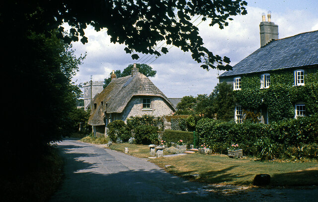
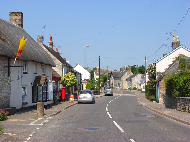
Owermoigne is a small Dorset village adjacent to the A352 road, some 6 miles southeast of Dorchester. Originally a Saxon settlement by the name of Ogre that later became Oweres, and the ancient landholding family of Le Moigne came together to give the village its name. The village surrounds the church of St Michael and most working residents commute into Dorchester.](https://s3.geograph.org.uk/geophotos/07/25/16/7251619_7464b2bf.jpg)
![Parish church [2] The nave and chancel.
The Anglican parish church of St Michael was, except for the early 15th century tower, completely rebuilt in 1883 with some 13th and 16th century windows reset in the chancel. Constructed of rubble stone under tile roofs. Listed, grade II*, with details at: <span class="nowrap"><a title="https://historicengland.org.uk/listing/the-list/list-entry/1119232" rel="nofollow ugc noopener" href="https://historicengland.org.uk/listing/the-list/list-entry/1119232">Link</a><img style="margin-left:2px;" alt="External link" title="External link - shift click to open in new window" src="https://s1.geograph.org.uk/img/external.png" width="10" height="10"/></span>
Owermoigne is a small Dorset village adjacent to the A352 road, some 6 miles southeast of Dorchester. Originally a Saxon settlement by the name of Ogre that later became Oweres, and the ancient landholding family of Le Moigne came together to give the village its name. The village surrounds the church of St Michael and most working residents commute into Dorchester.](https://s3.geograph.org.uk/geophotos/07/25/16/7251651_6528e0a5.jpg)
![Parish church [3] The chancel.
The Anglican parish church of St Michael was, except for the early 15th century tower, completely rebuilt in 1883 with some 13th and 16th century windows reset in the chancel. Constructed of rubble stone under tile roofs. Listed, grade II*, with details at: <span class="nowrap"><a title="https://historicengland.org.uk/listing/the-list/list-entry/1119232" rel="nofollow ugc noopener" href="https://historicengland.org.uk/listing/the-list/list-entry/1119232">Link</a><img style="margin-left:2px;" alt="External link" title="External link - shift click to open in new window" src="https://s1.geograph.org.uk/img/external.png" width="10" height="10"/></span>
Owermoigne is a small Dorset village adjacent to the A352 road, some 6 miles southeast of Dorchester. Originally a Saxon settlement by the name of Ogre that later became Oweres, and the ancient landholding family of Le Moigne came together to give the village its name. The village surrounds the church of St Michael and most working residents commute into Dorchester.](https://s2.geograph.org.uk/geophotos/07/25/16/7251654_3d199b4e.jpg)
![Parish church [4] The roof of the chancel.
The Anglican parish church of St Michael was, except for the early 15th century tower, completely rebuilt in 1883 with some 13th and 16th century windows reset in the chancel. Constructed of rubble stone under tile roofs. Listed, grade II*, with details at: <span class="nowrap"><a title="https://historicengland.org.uk/listing/the-list/list-entry/1119232" rel="nofollow ugc noopener" href="https://historicengland.org.uk/listing/the-list/list-entry/1119232">Link</a><img style="margin-left:2px;" alt="External link" title="External link - shift click to open in new window" src="https://s1.geograph.org.uk/img/external.png" width="10" height="10"/></span>
Owermoigne is a small Dorset village adjacent to the A352 road, some 6 miles southeast of Dorchester. Originally a Saxon settlement by the name of Ogre that later became Oweres, and the ancient landholding family of Le Moigne came together to give the village its name. The village surrounds the church of St Michael and most working residents commute into Dorchester.](https://s3.geograph.org.uk/geophotos/07/25/16/7251655_3e7a83ec.jpg)
![Parish church [5] The 18th century font.
The Anglican parish church of St Michael was, except for the early 15th century tower, completely rebuilt in 1883 with some 13th and 16th century windows reset in the chancel. Constructed of rubble stone under tile roofs. Listed, grade II*, with details at: <span class="nowrap"><a title="https://historicengland.org.uk/listing/the-list/list-entry/1119232" rel="nofollow ugc noopener" href="https://historicengland.org.uk/listing/the-list/list-entry/1119232">Link</a><img style="margin-left:2px;" alt="External link" title="External link - shift click to open in new window" src="https://s1.geograph.org.uk/img/external.png" width="10" height="10"/></span>
Owermoigne is a small Dorset village adjacent to the A352 road, some 6 miles southeast of Dorchester. Originally a Saxon settlement by the name of Ogre that later became Oweres, and the ancient landholding family of Le Moigne came together to give the village its name. The village surrounds the church of St Michael and most working residents commute into Dorchester.](https://s2.geograph.org.uk/geophotos/07/25/25/7252518_2cdf5fe8.jpg)
![Parish church [6] The small organ at the west end.
The Anglican parish church of St Michael was, except for the early 15th century tower, completely rebuilt in 1883 with some 13th and 16th century windows reset in the chancel. Constructed of rubble stone under tile roofs. Listed, grade II*, with details at: <span class="nowrap"><a title="https://historicengland.org.uk/listing/the-list/list-entry/1119232" rel="nofollow ugc noopener" href="https://historicengland.org.uk/listing/the-list/list-entry/1119232">Link</a><img style="margin-left:2px;" alt="External link" title="External link - shift click to open in new window" src="https://s1.geograph.org.uk/img/external.png" width="10" height="10"/></span>
Owermoigne is a small Dorset village adjacent to the A352 road, some 6 miles southeast of Dorchester. Originally a Saxon settlement by the name of Ogre that later became Oweres, and the ancient landholding family of Le Moigne came together to give the village its name. The village surrounds the church of St Michael and most working residents commute into Dorchester.](https://s3.geograph.org.uk/geophotos/07/25/25/7252519_887792dd.jpg)
![Parish church [7] Part of the churchyard.
The Anglican parish church of St Michael was, except for the early 15th century tower, completely rebuilt in 1883 with some 13th and 16th century windows reset in the chancel. Constructed of rubble stone under tile roofs. Listed, grade II*, with details at: <span class="nowrap"><a title="https://historicengland.org.uk/listing/the-list/list-entry/1119232" rel="nofollow ugc noopener" href="https://historicengland.org.uk/listing/the-list/list-entry/1119232">Link</a><img style="margin-left:2px;" alt="External link" title="External link - shift click to open in new window" src="https://s1.geograph.org.uk/img/external.png" width="10" height="10"/></span>
Owermoigne is a small Dorset village adjacent to the A352 road, some 6 miles southeast of Dorchester. Originally a Saxon settlement by the name of Ogre that later became Oweres, and the ancient landholding family of Le Moigne came together to give the village its name. The village surrounds the church of St Michael and most working residents commute into Dorchester.](https://s1.geograph.org.uk/geophotos/07/25/25/7252521_850874b2.jpg)
![Parish church [8] Part of the churchyard.
The Anglican parish church of St Michael was, except for the early 15th century tower, completely rebuilt in 1883 with some 13th and 16th century windows reset in the chancel. Constructed of rubble stone under tile roofs. Listed, grade II*, with details at: <span class="nowrap"><a title="https://historicengland.org.uk/listing/the-list/list-entry/1119232" rel="nofollow ugc noopener" href="https://historicengland.org.uk/listing/the-list/list-entry/1119232">Link</a><img style="margin-left:2px;" alt="External link" title="External link - shift click to open in new window" src="https://s1.geograph.org.uk/img/external.png" width="10" height="10"/></span>
Owermoigne is a small Dorset village adjacent to the A352 road, some 6 miles southeast of Dorchester. Originally a Saxon settlement by the name of Ogre that later became Oweres, and the ancient landholding family of Le Moigne came together to give the village its name. The village surrounds the church of St Michael and most working residents commute into Dorchester.](https://s2.geograph.org.uk/geophotos/07/25/25/7252522_623b52a8.jpg)
Pole Coppice is located at Grid Ref: SY7585 (Lat: 50.669244, Lng: -2.3468451)
Unitary Authority: Dorset
Police Authority: Dorset
What 3 Words
///shipwreck.words.bulbs. Near Overcombe, Dorset
Nearby Locations
Related Wikis

Owermoigne
Owermoigne ( OH-ər-MOYN) is a village and civil parish in the county of Dorset in southern England, situated 6 miles (9.7 km) south-east of Dorchester...

Poxwell
Poxwell (; sometimes written Pokeswell) is a hamlet and civil parish in the county of Dorset in southwest England. It is located 6 miles (9.7 km) east...

St John's Church, Poxwell
St John's Church was a Church of England church in Poxwell, Dorset, England. It was built in 1867–68 as a replacement to an earlier church and was demolished...

Warmwell
Warmwell is a small village and civil parish in south west Dorset, England, situated on the B3390 road about 5 miles (8.0 km) southeast of Dorchester....
Broadmayne
Broadmayne is a village in the English county of Dorset. It lies two miles south-east of the county town Dorchester. The A352 main road between Dorchester...

Mayne Preceptory
Mayne Preceptory was a medieval house of Knights Hospitaller in Dorset, England, which caused the name of the settlement to change from Domesday-era Maine...

RAF Warmwell
Royal Air Force Warmwell or more simply RAF Warmwell is a former Royal Air Force station near Warmwell in Dorset, England from 1937 to 1946, located about...

West Knighton, Dorset
West Knighton is a village and civil parish in Dorset, England, situated 3 miles (4.8 km) southeast of the county town Dorchester. It has an 11th-century...
Nearby Amenities
Located within 500m of 50.669244,-2.3468451Have you been to Pole Coppice?
Leave your review of Pole Coppice below (or comments, questions and feedback).