Trafford's Bank Covert
Wood, Forest in Cheshire
England
Trafford's Bank Covert
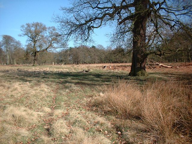
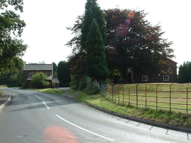
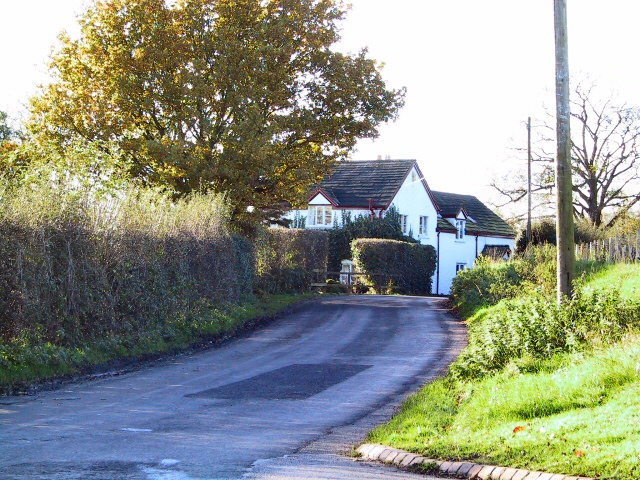
Trafford's Bank Covert is a picturesque woodland located in Cheshire, England. Nestled within the idyllic countryside, this forested area spans over a considerable acreage, offering visitors a tranquil retreat from the bustling city life nearby. The covert is situated near the village of Trafford, hence its name.
The woodland features a diverse array of tree species, predominantly consisting of native deciduous trees such as oak, beech, and birch. These majestic trees form a dense canopy, providing shade and shelter to the myriad of flora and fauna that call the covert home. The forest floor is adorned with an assortment of wildflowers, ferns, and mosses, lending a vibrant, natural charm to the landscape.
Trafford's Bank Covert is renowned for its rich biodiversity. The forest provides a haven for numerous species of birds, including woodpeckers, owls, and various songbirds. Deer, foxes, and rabbits are also commonly sighted within the woodland, further highlighting its importance as a habitat for wildlife.
The covert is a popular destination for nature enthusiasts, hikers, and families seeking a peaceful retreat. A network of well-maintained footpaths and trails crisscrosses the woodland, allowing visitors to explore its beauty at their own pace. The serene atmosphere and the harmonious sounds of nature make Trafford's Bank Covert a perfect spot for picnics, birdwatching, or simply enjoying a leisurely stroll.
Managed by local authorities, the woodland is also subject to conservation efforts to preserve its natural beauty and protect its inhabitants. This ensures that future generations can continue to enjoy the tranquility and biodiversity that Trafford's Bank Covert has to offer.
If you have any feedback on the listing, please let us know in the comments section below.
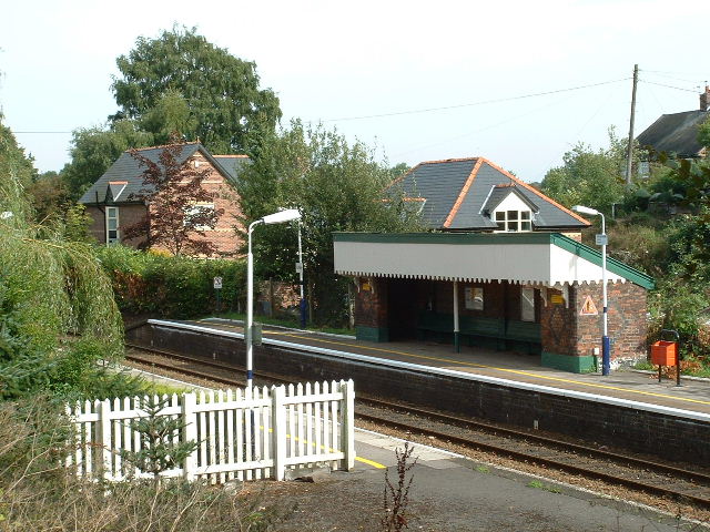
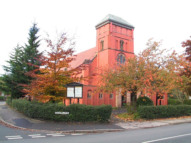
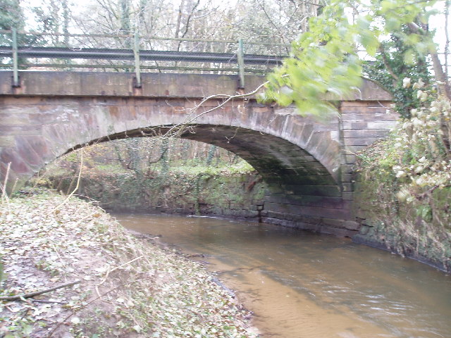
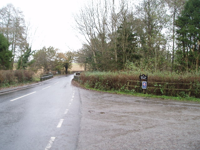
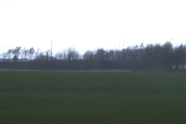
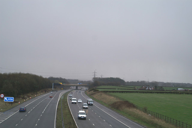
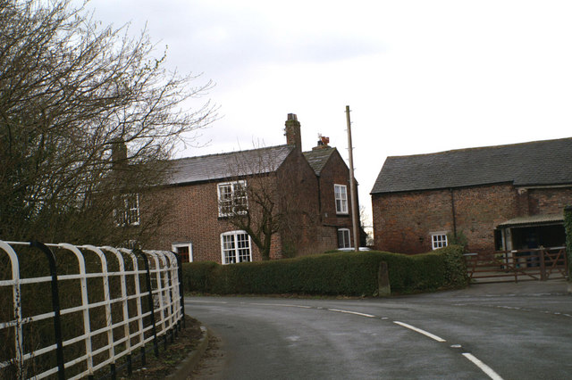
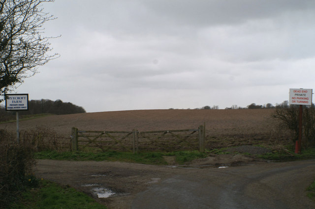
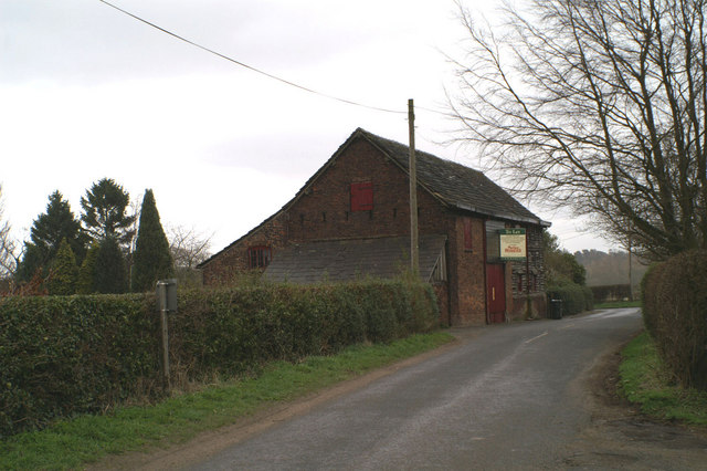
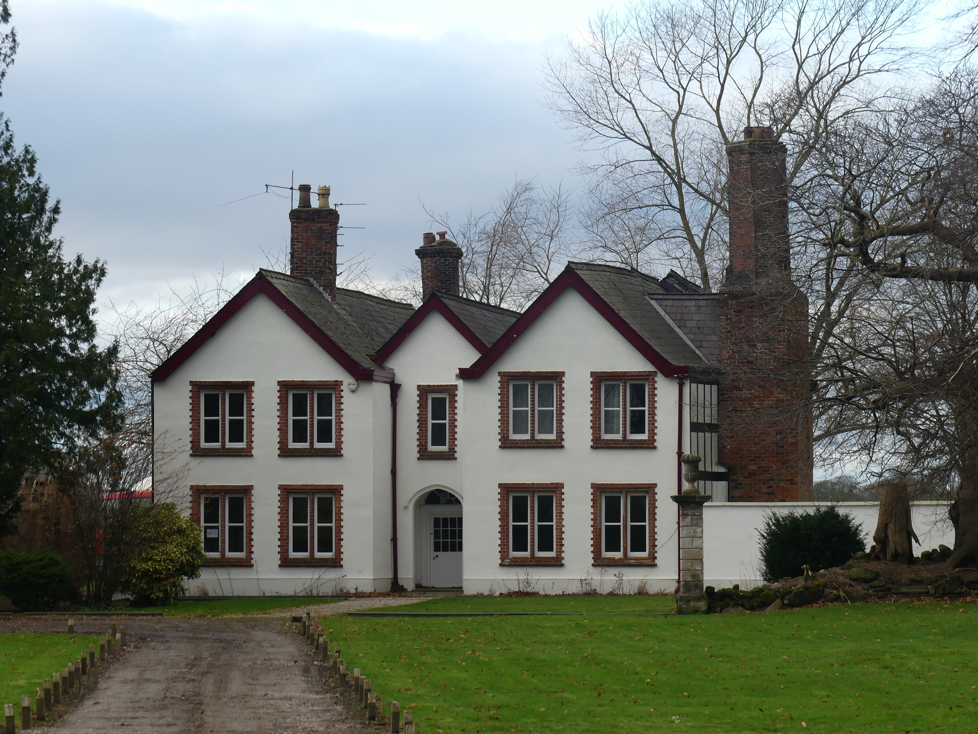
Trafford's Bank Covert Images
Images are sourced within 2km of 53.363093/-2.3684174 or Grid Reference SJ7585. Thanks to Geograph Open Source API. All images are credited.


Trafford's Bank Covert is located at Grid Ref: SJ7585 (Lat: 53.363093, Lng: -2.3684174)
Unitary Authority: Cheshire East
Police Authority: Cheshire
What 3 Words
///lows.goes.debit. Near Bowdon, Manchester
Nearby Locations
Related Wikis

Watch Hill Castle
Watch Hill Castle (also known as Yarwood Castle, Castle Hill, and Bowdon Watch) is a medieval motte-and-bailey on the boundary of Bowdon and Dunham Massey...
Ashley Hall, Cheshire
Ashley Hall is a country house standing to the north of the village of Ashley, Cheshire, England. It dates from the late 16th to the early 17th century...

Bowdon Urban District
Bowdon Urban District is a former Urban District in Cheshire, based in the village of Bowdon. It was created in 1894 and abolished in 1974 when it was...
Bowdon, Greater Manchester
Bowdon is a suburb of Altrincham and electoral ward in the Metropolitan Borough of Trafford, Greater Manchester, England. == History == Within the boundaries...
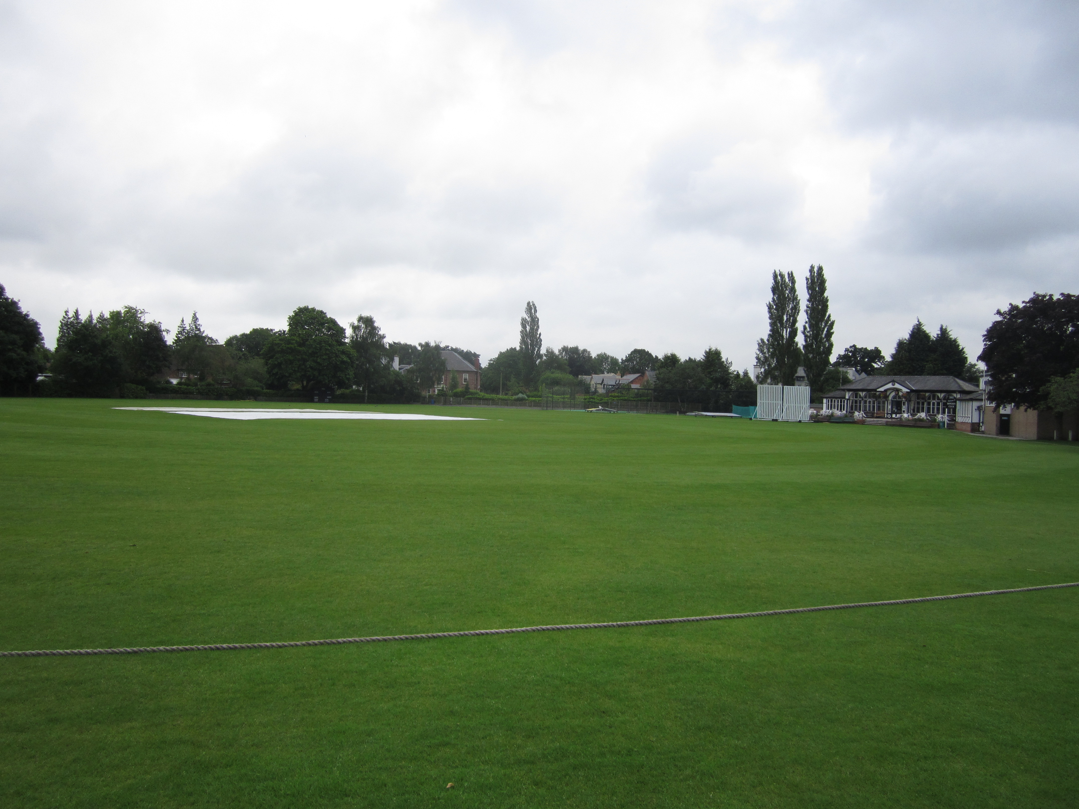
South Downs Road Cricket Ground, Bowdon
South Downs Road is a cricket ground in South Downs Road, Bowdon, Greater Manchester (formerly Cheshire). The ground is surrounded by residential housing...

Rostherne Mere
Rostherne Mere is a natural lake in Cheshire, England. It is the largest of the Cheshire meres with an area of 48 hectares (120 acres) and a maximum depth...
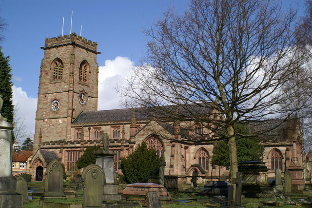
Church of St Mary the Virgin, Bowdon
The Church of St Mary the Virgin is in the village of Bowdon near Altrincham, Greater Manchester, England. It is recorded in the National Heritage List...

Rostherne
Rostherne is a village and former civil parish, now in the parish of Millington and Rostherne, in the unitary authority area of Cheshire East and the ceremonial...
Nearby Amenities
Located within 500m of 53.363093,-2.3684174Have you been to Trafford's Bank Covert?
Leave your review of Trafford's Bank Covert below (or comments, questions and feedback).