Limekiln Coppice

Wood, Forest in Herefordshire

England

Limekiln Coppice

Modern bungalows on Birchwood Lane
Modern bungalows on Birchwood Lane Credit: Peter Whatley

Limekiln Coppice is a picturesque woodland located in the county of Herefordshire, England. Spanning an area of approximately 50 acres, this enchanting forest is known for its rich biodiversity and natural beauty. The coppice takes its name from the historical limekiln that was utilized in the past for producing lime.

The woodland is primarily composed of a mixture of deciduous trees, including oak, ash, beech, and birch. These majestic trees create a dense canopy that provides shade and shelter for a wide variety of flora and fauna. The forest floor is adorned with a vibrant carpet of wildflowers during spring, adding a burst of color to the already tranquil surroundings.

Limekiln Coppice is a haven for wildlife enthusiasts, as it is home to numerous species of birds, mammals, and insects. Birdwatchers can expect to spot woodpeckers, owls, and various songbirds, while mammal lovers may catch a glimpse of deer, foxes, and badgers. The woodland is also a paradise for butterfly and moth enthusiasts, with a diverse range of species fluttering through the air.

Visitors to Limekiln Coppice can enjoy a variety of recreational activities, including hiking, nature walks, and photography. There are several well-marked trails that wind through the forest, allowing visitors to explore its hidden corners and discover its natural wonders. The peaceful atmosphere and beautiful surroundings make Limekiln Coppice a perfect destination for those seeking a tranquil escape from the hustle and bustle of everyday life.

If you have any feedback on the listing, please let us know in the comments section below.

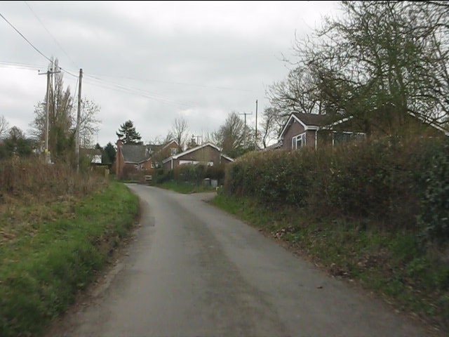
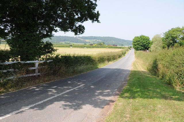
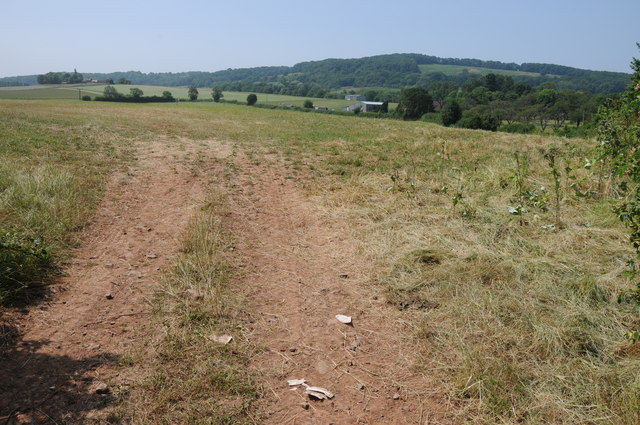
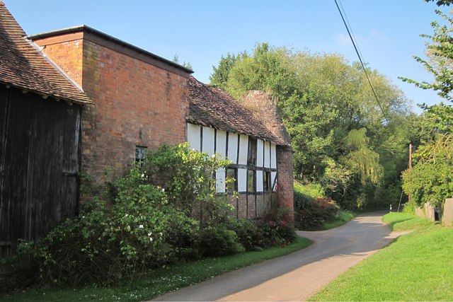
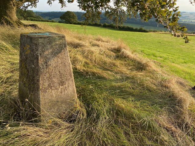
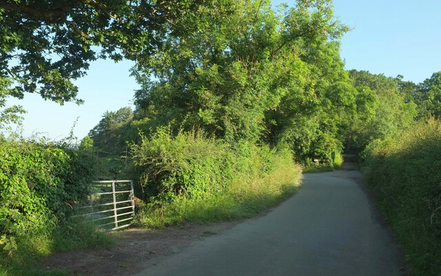
Limekiln Coppice Images

Images are sourced within 2km of 52.145502/-2.3584541 or Grid Reference SO7549. Thanks to Geograph Open Source API. All images are credited.

Modern bungalows on Birchwood Lane
Road to Crowcroft Road to Crowcroft off the A44 to the west of Leigh Sinton.
Road to Crowcroft
Road to Crowcroft off the A44 to the west of Leigh Sinton.
Field entrance Field entrance near Lower Sandlin Farm at Smith End Green.
Field entrance
Field entrance near Lower Sandlin Farm at Smith End Green.
Norrest Wood from the footpath The footpath entrance stile was somewhat overgrown when visited, but can just about be negotiated by those with long legs or decent balance.  Look for a small gap in the hedge back from the road surface.
Norrest Wood from the footpath
The footpath entrance stile was somewhat overgrown when visited, but can just about be negotiated by those with long legs or decent balance. Look for a small gap in the hedge back from the road surface.
Driveway to Birchwood House
Birchwood Common from Birchwood Lane
Old Sandlin Farm Oast
Oast House at Old Sandlin Farm, Sandlin Twin round kiln oast house.
Oast House at Old Sandlin Farm, Sandlin
Twin round kiln oast house.
Oast House at Old Sandlin Farm, Sandlin Twin round kiln oast house.
Oast House at Old Sandlin Farm, Sandlin
Twin round kiln oast house.
Oast House at Ashcroft House, Sandlin Single square kiln oast house.
Oast House at Ashcroft House, Sandlin
Single square kiln oast house.
Oast House at Ashcroft House, Sandlin
Hop Kiln Cottage, Smith End Green Twin square kiln oast house. Once part of Sandlin Farm.
Hop Kiln Cottage, Smith End Green
Twin square kiln oast house. Once part of Sandlin Farm.
Coneygore Coppice
Coneygore Coppice
Woodfold
Woodfold
The Beck Trig Point Flush Bracket S3827
Birchwood Lane This shows the 40 metre stretch of the lane used by the Geopark Way, which has just joined from the right, and turns right into a field at the track junction ahead, although it rejoins the lane for a while about a kilometre ahead.
Birchwood Lane
This shows the 40 metre stretch of the lane used by the Geopark Way, which has just joined from the right, and turns right into a field at the track junction ahead, although it rejoins the lane for a while about a kilometre ahead.
Geopark Way leaves Birchwood Lane Larger sizes of this may reveal the pencil of light coming through the right-hand hedge where the Way follows Cradley footpath CD64 rather than the track to Birchwood House.
Geopark Way leaves Birchwood Lane
Larger sizes of this may reveal the pencil of light coming through the right-hand hedge where the Way follows Cradley footpath CD64 rather than the track to Birchwood House.
Show me another place!

Limekiln Coppice is located at Grid Ref: SO7549 (Lat: 52.145502, Lng: -2.3584541)

Unitary Authority: County of Herefordshire

Police Authority: West Mercia

What 3 Words

///skewing.medium.another. Near Great Malvern, Worcestershire

Related Wikis

Crowcroft

Crowcroft is a small hamlet just outside Leigh Sinton in Worcestershire, England. The main industry for the area is fruit growing, particularly for local...

Radar Research and Development Establishment

The Radar Research and Development Establishment, RRDE for short, was a civilian research organization run by the United Kingdom's Ministry of Supply that...

Dyson Perrins Church of England Academy

Dyson Perrins CofE Academy is a co-educational secondary school in Malvern, Worcestershire, England. It is named after its benefactor Charles William Dyson...

Church of St Peter, Cowleigh

The Church of St Peter, Cowleigh, is a Grade II listed Anglican church in the parish of Malvern Link and Cowleigh. It was built in 1865, and was designed...

Nearby Amenities

Located within 500m of 52.145502,-2.3584541
Barrier: stile
Foot: yes
Lat/Long: 52.1458336/-2.3568517
Barrier: stile
Foot: yes
Lat/Long: 52.1444197/-2.3550822
Barrier: stile
Foot: yes
Lat/Long: 52.1481351/-2.3636452
Power: pole
Lat/Long: 52.1484168/-2.3639408
Power: pole
Lat/Long: 52.1477403/-2.3634258
Birch Wood
Power: pole
Transformer: distribution
Voltage Primary: 11000
Lat/Long: 52.1476827/-2.3645537
Power: pole
Lat/Long: 52.1476539/-2.3638777
Power: pole
Lat/Long: 52.1481082/-2.3633158
Power: pole
Lat/Long: 52.1469659/-2.3638415
Power: pole
Lat/Long: 52.1474844/-2.3632394
Birch Wood Lodge Farm
Power: pole
Transformer: distribution
Voltage Primary: 11000
Lat/Long: 52.1466322/-2.3642197
Power: pole
Lat/Long: 52.1478564/-2.3628142
Power: pole
Lat/Long: 52.1479872/-2.3616904
Power: pole
Lat/Long: 52.1481172/-2.3607382
Power: pole
Lat/Long: 52.148295/-2.3598075
Power: pole
Lat/Long: 52.1494759/-2.3578642
Power: pole
Lat/Long: 52.1486423/-2.357824
Power: pole
Lat/Long: 52.1488192/-2.3568638
Norrest Farm
Power: pole
Transformer: distribution
Voltage Primary: 11000
Lat/Long: 52.148964/-2.3559693
Power: pole
Lat/Long: 52.1489155/-2.3551498
Power: pole
Lat/Long: 52.1488636/-2.3543197
Power: pole
Lat/Long: 52.1488299/-2.3536411
The data included in this document is from www.openstreetmap.org. The data is made available under ODbL.

Have you been to Limekiln Coppice?

Leave your review of Limekiln Coppice below (or comments, questions and feedback).