Withymore Wood

Wood, Forest in Gloucestershire Stroud

England

Withymore Wood

Lower Wood Ford This ford is found in Lower Wood Nature Reserve a short walk down from the carpark.
Lower Wood Ford Credit: John Walton

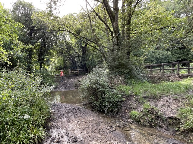
Withymore Wood is a beautiful woodland located in Gloucestershire, England. It is a part of the Forest of Dean district and covers an area of approximately 100 acres. The wood is situated near the village of Yorkley and is surrounded by picturesque countryside.

The wood is predominantly made up of broadleaf trees, including oak, beech, and ash, which create a dense canopy overhead. This creates a shaded and cool environment, perfect for leisurely walks and enjoying nature. Withymore Wood is particularly popular in the springtime when the forest floor is carpeted with bluebells, creating a stunning visual display.

The wood is home to a diverse range of wildlife, including several species of birds, mammals, and insects. Birdwatchers can spot species such as woodpeckers, owls, and warblers, while mammal enthusiasts may be lucky enough to catch a glimpse of deer, foxes, or badgers.

There are several well-maintained walking trails that weave through the wood, allowing visitors to explore its natural beauty. These paths are suitable for all ages and abilities, with some being wheelchair accessible. Along the trails, there are informative signs and markers that provide interesting facts about the woodland's history and ecology.

Withymore Wood is a peaceful and tranquil place, offering visitors a chance to escape the hustle and bustle of everyday life. Whether it's a leisurely stroll, a picnic under the trees, or wildlife spotting, this woodland is a haven for nature lovers and those seeking a connection with the great outdoors.

If you have any feedback on the listing, please let us know in the comments section below.

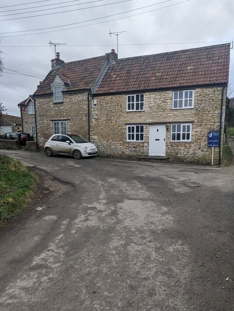
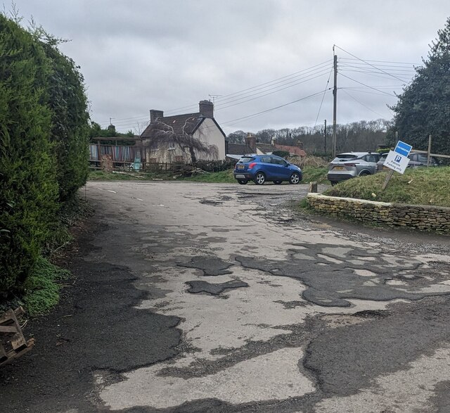
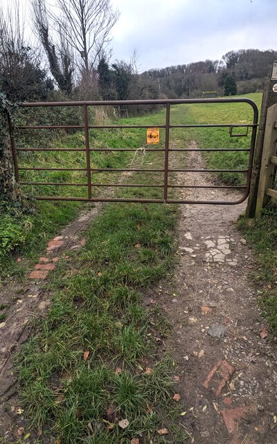
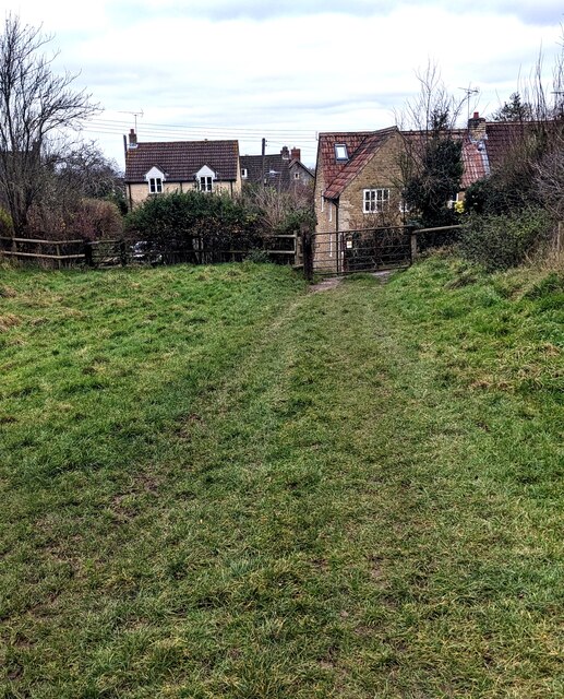
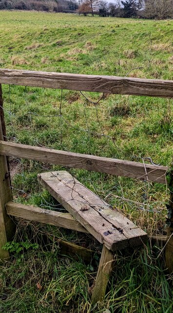
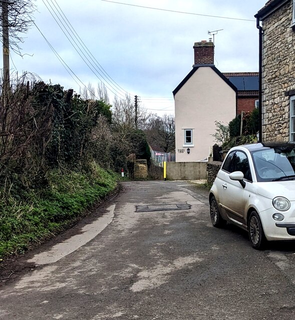
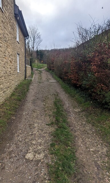
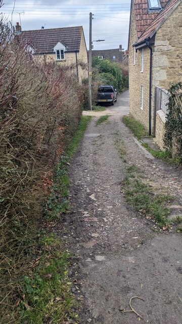
Withymore Wood Images

Images are sourced within 2km of 51.602949/-2.3542206 or Grid Reference ST7589. Thanks to Geograph Open Source API. All images are credited.

Lower Wood Ford This ford is found in Lower Wood Nature Reserve a short walk down from the carpark.
Lower Wood Ford
This ford is found in Lower Wood Nature Reserve a short walk down from the carpark.
The Fleece Inn, Hillesley, Gloucestershire Viewed across Chapel Lane.
The Fleece Inn, Hillesley, Gloucestershire
Viewed across Chapel Lane.
The Fleece Inn name sign, Hillesley, Gloucestershire Hanging from a wall bracket here. <a title="https://www.geograph.org.uk/photo/7671003" href="https://www.geograph.org.uk/photo/7671003">Link</a>
The Fleece Inn name sign, Hillesley, Gloucestershire
Hanging from a wall bracket here. Link
Yellow box, Chapel Lane, Hillesley, Gloucestershire Defibrillator box at an entrance to the Fleece Inn. <a title="https://www.geograph.org.uk/photo/7671003" href="https://www.geograph.org.uk/photo/7671003">Link</a>
Yellow box, Chapel Lane, Hillesley, Gloucestershire
Defibrillator box at an entrance to the Fleece Inn. Link
Chapel Lane houses, Hillesley, Gloucestershire The Fleece Inn <a title="https://www.geograph.org.uk/photo/7671003" href="https://www.geograph.org.uk/photo/7671003">Link</a> is behind the camera.
Chapel Lane houses, Hillesley, Gloucestershire
The Fleece Inn Link is behind the camera.
Fleece Inn Car Park, Hillesley, Gloucestershire Accessed from Chapel Lane a few metres from the inn. <a title="https://www.geograph.org.uk/photo/7671003" href="https://www.geograph.org.uk/photo/7671003">Link</a>
Fleece Inn Car Park, Hillesley, Gloucestershire
Accessed from Chapel Lane a few metres from the inn. Link
Gate across a public footpath, Hillesley, Gloucestershire SE of Chapel Lane. Text on the small yellow notice on the gate includes
POOP SCOOP AREA and CLEAN IT UP.
Gate across a public footpath, Hillesley, Gloucestershire
SE of Chapel Lane. Text on the small yellow notice on the gate includes POOP SCOOP AREA and CLEAN IT UP.
Public footpath through a field,  Hillesley, Gloucestershire SE of this <a title="https://www.geograph.org.uk/photo/7671047" href="https://www.geograph.org.uk/photo/7671047">Link</a> gate.
Public footpath through a field, Hillesley, Gloucestershire
SE of this Link gate.
NW along a public footpath, Hillesley, Gloucestershire Ahead for Chapel Lane and the Fleece Inn. <a title="https://www.geograph.org.uk/photo/7671003" href="https://www.geograph.org.uk/photo/7671003">Link</a>
NW along a public footpath, Hillesley, Gloucestershire
Ahead for Chapel Lane and the Fleece Inn. Link
Stile access to a public footpath, Hillesley, Gloucestershire No need for walkers to use this stile today - the adjacent gate <a title="https://www.geograph.org.uk/photo/7671047" href="https://www.geograph.org.uk/photo/7671047">Link</a> is not locked.
Stile access to a public footpath, Hillesley, Gloucestershire
No need for walkers to use this stile today - the adjacent gate Link is not locked.
Public footpath notices, Hillesley, Gloucestershire Gloucestershire County Council information for dog walkers.
The notices are alongside this <a title="https://www.geograph.org.uk/photo/7671047" href="https://www.geograph.org.uk/photo/7671047">Link</a> gate
Public footpath notices, Hillesley, Gloucestershire
Gloucestershire County Council information for dog walkers. The notices are alongside this Link gate
ENE along Chapel Lane, Hillesley, Gloucestershire Ahead for the former Baptist Chapel <a title="https://www.geograph.org.uk/photo/3662562" href="https://www.geograph.org.uk/photo/3662562">Link</a>
ENE along Chapel Lane, Hillesley, Gloucestershire
Ahead for the former Baptist Chapel Link
From Chapel Lane towards a public footpath, Hillesley, Gloucestershire Looking to the SE from Chapel Lane towards this <a title="https://www.geograph.org.uk/photo/7671047" href="https://www.geograph.org.uk/photo/7671047">Link</a> gate.
From Chapel Lane towards a public footpath, Hillesley, Gloucestershire
Looking to the SE from Chapel Lane towards this Link gate.
Towards Chapel Lane from a public footpath, Hillesley, Gloucestershire This <a title="https://www.geograph.org.uk/photo/7671047" href="https://www.geograph.org.uk/photo/7671047">Link</a> gate is behind the camera.
Towards Chapel Lane from a public footpath, Hillesley, Gloucestershire
This Link gate is behind the camera.
Towards the village church,  Hillesley, Gloucestershire Looking across High Street towards the Church of St Giles.
Towards the village church, Hillesley, Gloucestershire
Looking across High Street towards the Church of St Giles.
HILLESLEY  - Please drive carefully through the village Alongside the minor road from  Kingswood (Gloucestershire).
HILLESLEY - Please drive carefully through the village
Alongside the minor road from Kingswood (Gloucestershire).
Grade II Listed St Giles, Hillesley, Gloucestershire The church in the Church of England Diocese of Gloucester dates from 1851.
Grade II Listed in 1983.
Grade II Listed St Giles, Hillesley, Gloucestershire
The church in the Church of England Diocese of Gloucester dates from 1851. Grade II Listed in 1983.
Churchyard path, Hillesley, Gloucestershire Looking west from the High Street entrance.
The Church of St Giles <a title="https://www.geograph.org.uk/photo/7673274" href="https://www.geograph.org.uk/photo/7673274">Link</a> is on the right.
Churchyard path, Hillesley, Gloucestershire
Looking west from the High Street entrance. The Church of St Giles Link is on the right.
Show me another place!

Withymore Wood is located at Grid Ref: ST7589 (Lat: 51.602949, Lng: -2.3542206)

Administrative County: Gloucestershire

District: Stroud

Police Authority: Gloucestershire

What 3 Words

///slam.spelling.taskbar. Near Kingswood, Gloucestershire

Related Wikis

Yarley Meadows

Yarley Meadows (grid reference ST757888) is a 12.2-hectare (30-acre) biological Site of Special Scientific Interest in Gloucestershire, England, notified...
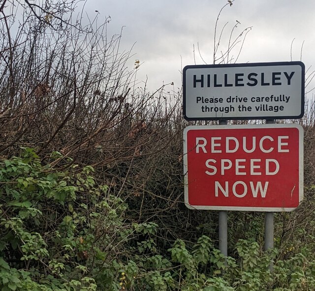
Hillesley

Hillesley is a village in Gloucestershire, England. It was transferred from the county of Avon in 1991 and is now in Stroud District. The village forms...

Rose Hill School, Alderley

Rose Hill School was a co-educational, boarding and day, Pre-preparatory and Preparatory School for children aged 2–14 years old. It was situated in Cotswold...

Alderley House

Alderley House is a mid-19th century 23,843 square feet (2,215.1 m2) Grade II listed country house designed by Lewis Vulliamy and built for Robert Blagden...

Nearby Amenities

Located within 500m of 51.602949,-2.3542206
Power: pole
Lat/Long: 51.6042999/-2.3480012
Power: pole
Lat/Long: 51.6038721/-2.3492917
Power: pole
Lat/Long: 51.6035162/-2.3504887
Power: pole
Lat/Long: 51.6031851/-2.3515224
Power: pole
Lat/Long: 51.6024552/-2.3519056
Power: pole
Lat/Long: 51.6018428/-2.3522414
Power: pole
Lat/Long: 51.6012343/-2.3525803
Power: pole
Lat/Long: 51.6003597/-2.3530764
Power: pole
Lat/Long: 51.5995923/-2.3535015
Power: pole
Lat/Long: 51.5989837/-2.3538343
Power: pole
Lat/Long: 51.6006645/-2.3540686
The data included in this document is from www.openstreetmap.org. The data is made available under ODbL.

Have you been to Withymore Wood?

Leave your review of Withymore Wood below (or comments, questions and feedback).