Peatrigg Plantation
Wood, Forest in Northumberland
England
Peatrigg Plantation
The requested URL returned error: 429 Too Many Requests
If you have any feedback on the listing, please let us know in the comments section below.
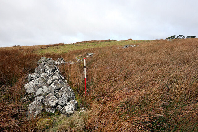
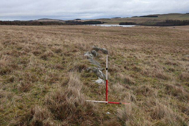
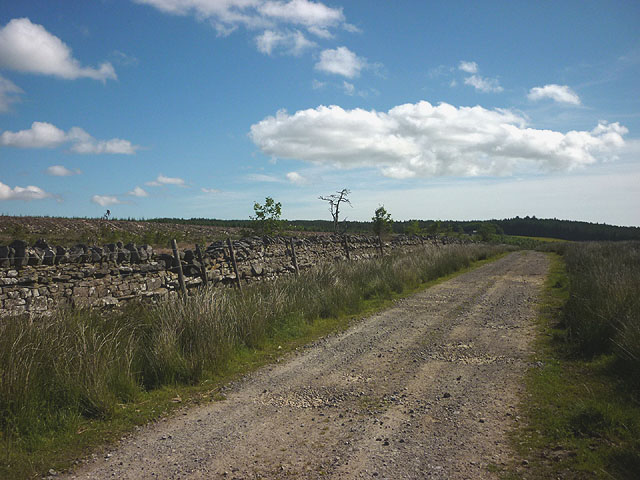
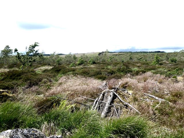
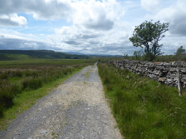
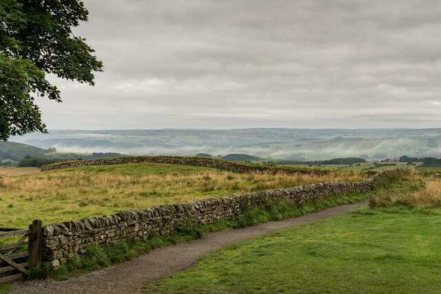
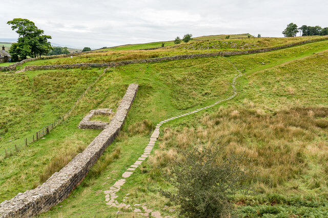
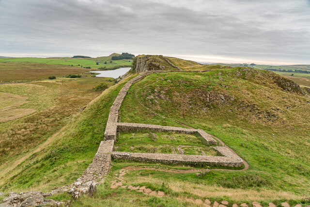
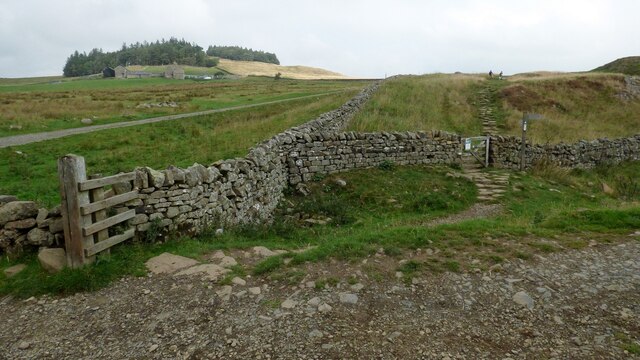
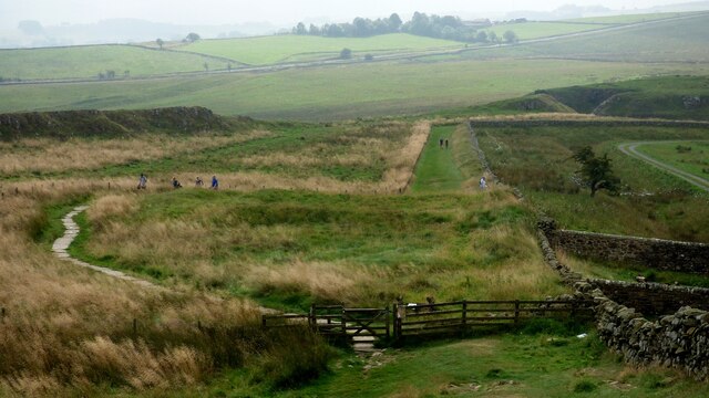
Peatrigg Plantation Images
Images are sourced within 2km of 55.007242/-2.3838735 or Grid Reference NY7568. Thanks to Geograph Open Source API. All images are credited.
Peatrigg Plantation is located at Grid Ref: NY7568 (Lat: 55.007242, Lng: -2.3838735)
Unitary Authority: Northumberland
Police Authority: Northumbria
What 3 Words
///behaving.having.culminate. Near Bardon Mill, Northumberland
Nearby Locations
Related Wikis
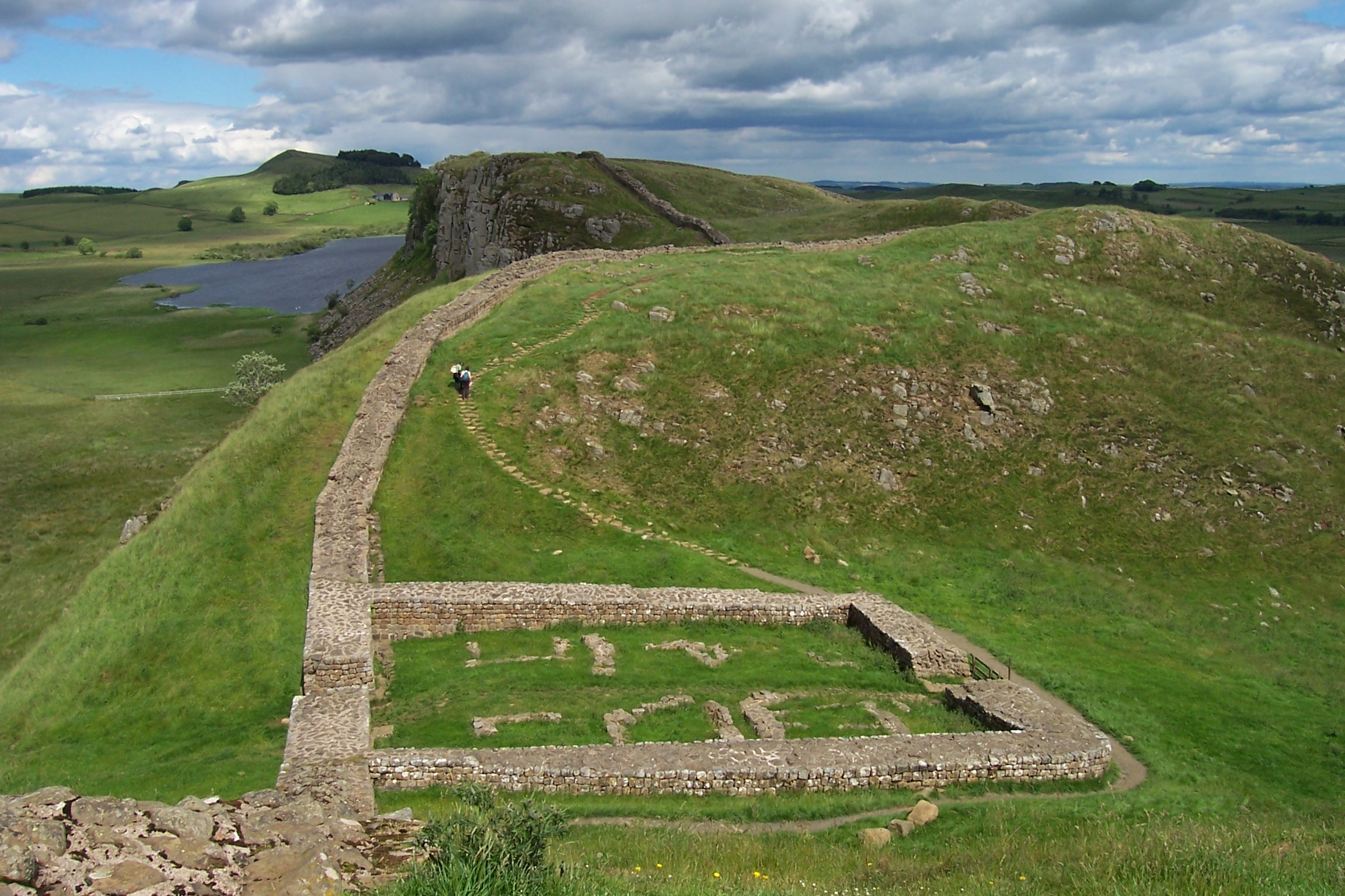
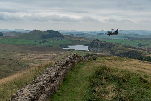
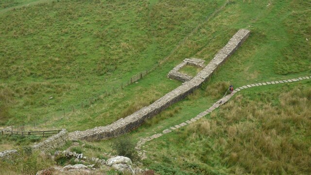
Milecastle 39
Milecastle 39 (Castle Nick) is a milecastle on Hadrian's Wall (grid reference NY76066773). == Description == Milecastle 39 is located northeast of Once...

Once Brewed
Once Brewed (also known as Twice Brewed or Once Brewed/Twice Brewed) is a village in Northumberland, England. It lies on the Military Road (Northumberland...

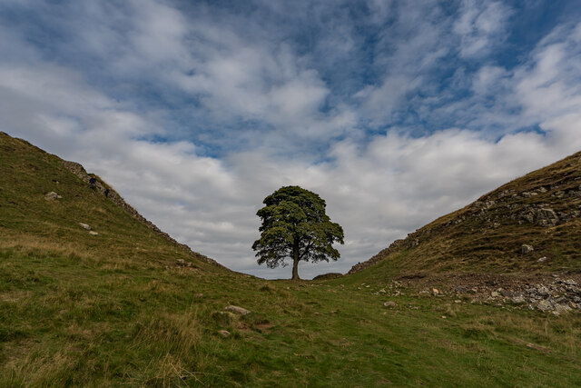
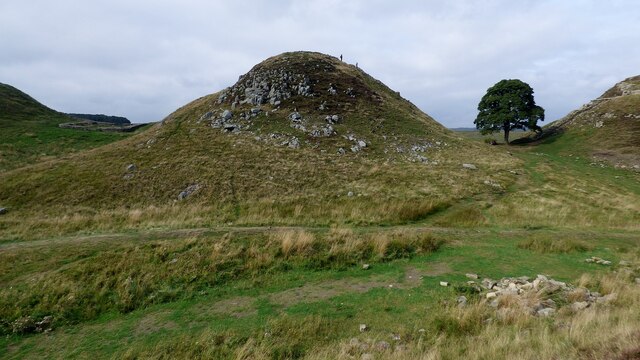
Sycamore Gap Tree
The Sycamore Gap Tree or Robin Hood Tree was a sycamore tree standing next to Hadrian's Wall near Crag Lough in Northumberland, England. It was located...

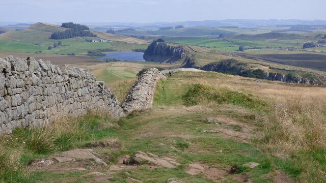
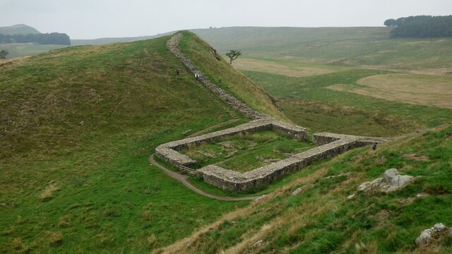
Milecastle 40
Milecastle 40 (Winshields) was a milecastle on Hadrian's Wall (grid reference NY74566758). == Description == Milecastle 40 is located northwest of Twice...
Nearby Amenities
Located within 500m of 55.007242,-2.3838735Have you been to Peatrigg Plantation?
Leave your review of Peatrigg Plantation below (or comments, questions and feedback).