Houndhill Plantation
Wood, Forest in Northumberland
England
Houndhill Plantation
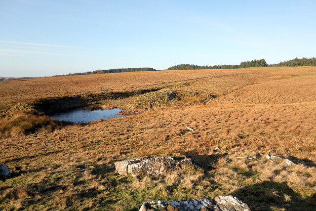
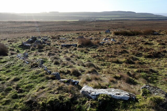
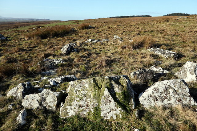
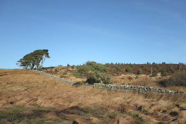
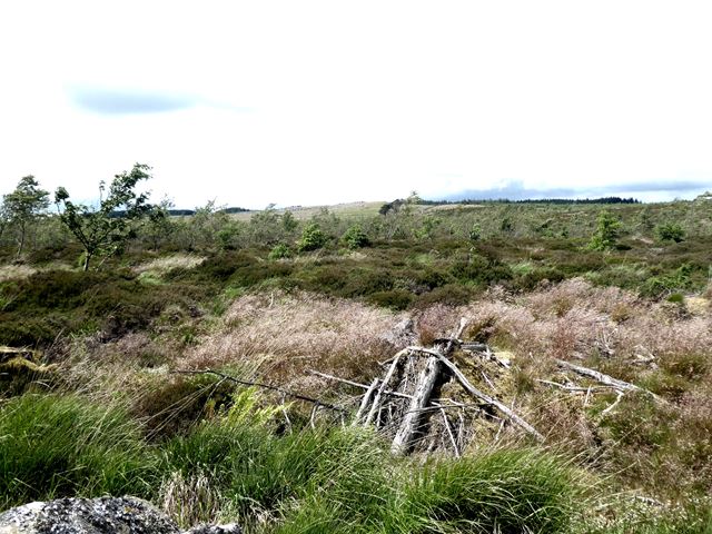
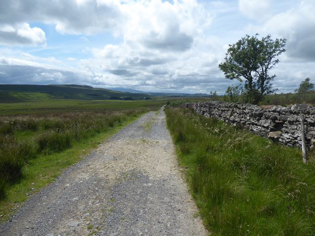
Houndhill Plantation is a sprawling woodland located in Northumberland, England. Covering an area of approximately 500 acres, this forest is comprised of a mix of native trees such as oak, beech, and birch, as well as coniferous species like pine and spruce. The plantation is managed by the Forestry Commission, who work to maintain the health and diversity of the woodland.
Houndhill Plantation is a popular destination for outdoor enthusiasts, offering a network of walking and cycling trails that wind through the trees and provide stunning views of the surrounding countryside. The forest is also home to a variety of wildlife, including deer, squirrels, and a diverse array of bird species.
Visitors to Houndhill Plantation can enjoy a peaceful escape from the hustle and bustle of everyday life, immersing themselves in the tranquil beauty of nature. The forest is a haven for nature lovers, providing a serene environment for relaxation, exploration, and wildlife spotting. Whether taking a leisurely stroll through the trees or embarking on a more rigorous outdoor adventure, Houndhill Plantation offers something for everyone to enjoy.
If you have any feedback on the listing, please let us know in the comments section below.
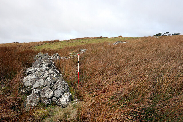
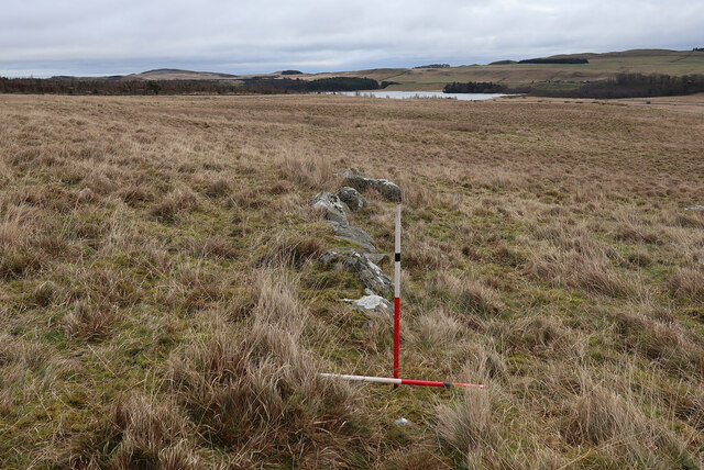
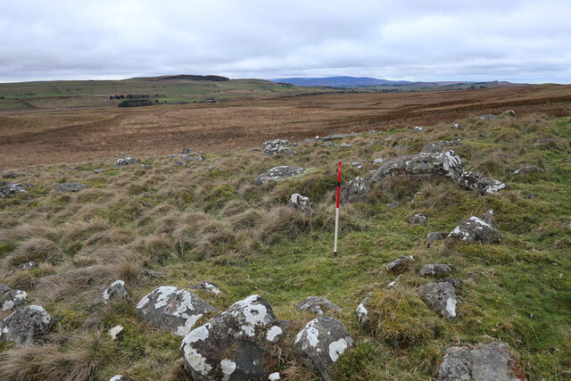
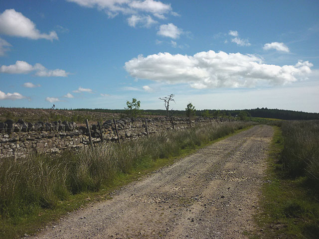
Houndhill Plantation Images
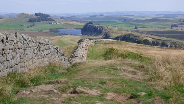
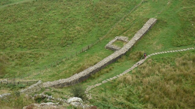
Images are sourced within 2km of 55.008261/-2.3857282 or Grid Reference NY7568. Thanks to Geograph Open Source API. All images are credited.
Houndhill Plantation is located at Grid Ref: NY7568 (Lat: 55.008261, Lng: -2.3857282)
Unitary Authority: Northumberland
Police Authority: Northumbria
What 3 Words
///richer.crouch.chestnuts. Near Bardon Mill, Northumberland
Nearby Locations
Related Wikis

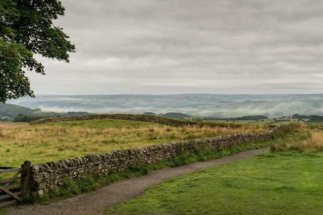
Once Brewed
Once Brewed (also known as Twice Brewed or Once Brewed/Twice Brewed) is a village in Northumberland, England. It lies on the Military Road (Northumberland...
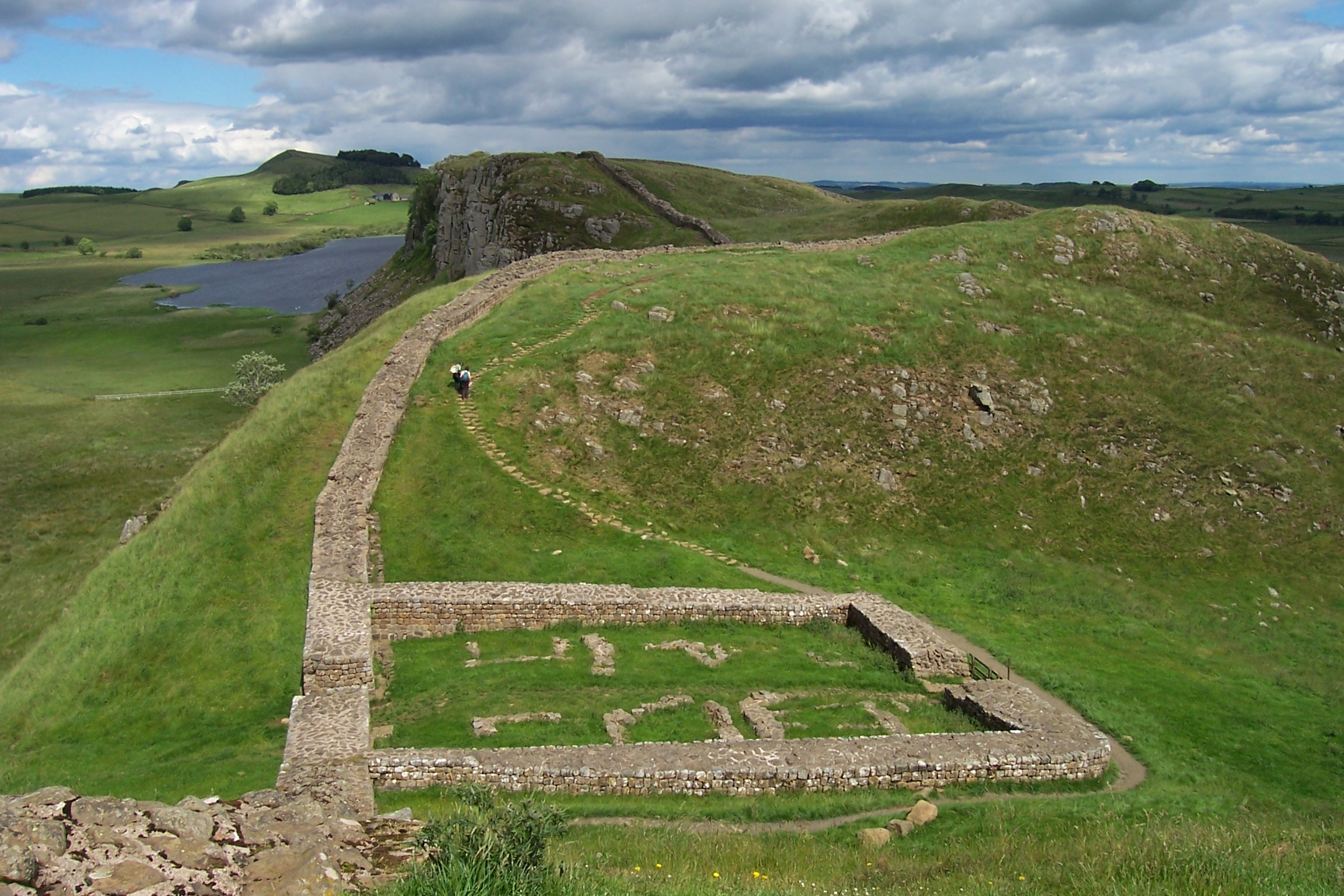
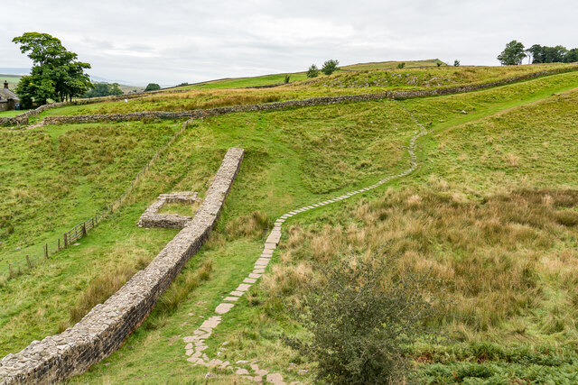
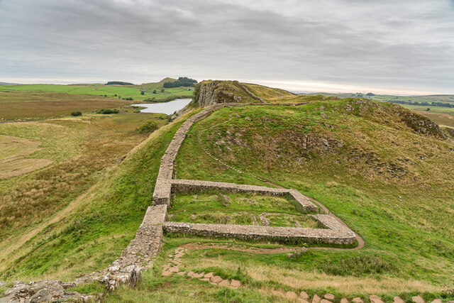
Milecastle 39
Milecastle 39 (Castle Nick) is a milecastle on Hadrian's Wall (grid reference NY76066773). == Description == Milecastle 39 is located northeast of Once...

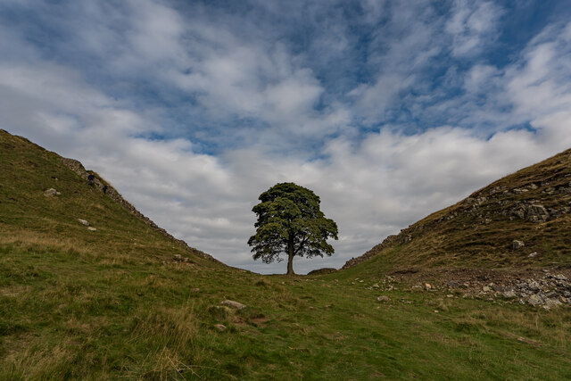
Sycamore Gap Tree
The Sycamore Gap Tree or Robin Hood Tree was a sycamore tree standing next to Hadrian's Wall near Crag Lough in Northumberland, England. It was located...

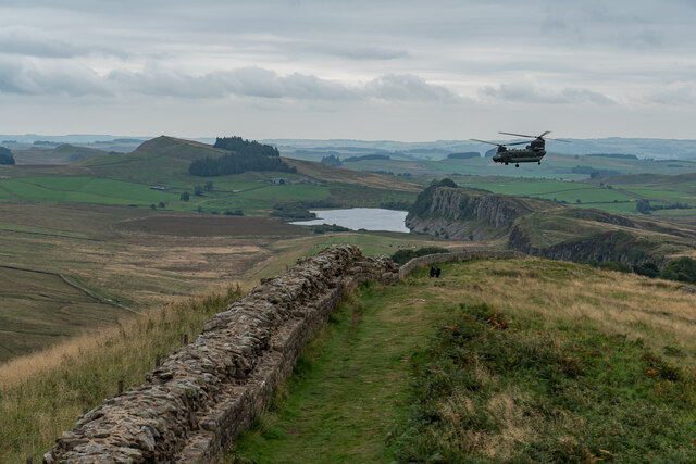
Milecastle 40
Milecastle 40 (Winshields) was a milecastle on Hadrian's Wall (grid reference NY74566758). == Description == Milecastle 40 is located northwest of Twice...
Nearby Amenities
Located within 500m of 55.008261,-2.3857282Have you been to Houndhill Plantation?
Leave your review of Houndhill Plantation below (or comments, questions and feedback).