Perfect's Copse

Wood, Forest in Somerset

England

Perfect's Copse

A lane into the estate The view is along Top Lane, which is in the Stourhead estate. There is a benchmark on the left which took some effort to free from the undergrowth. The wall mentioned in the OS description (see <a href="https://www.geograph.org.uk/photo/6935237">ST7633 : Benchmark freed from nettles and ivy</a>) is actually the lower parapet over the stream connecting the various ornamental lakes – the headwaters of the River Stour.
A lane into the estate Credit: Neville Goodman

Perfect's Copse is a small woodland area located in Somerset, England. Covering an area of approximately 10 acres, it is a picturesque and tranquil destination for nature enthusiasts and outdoor lovers. The copse is named after the Perfect family, who owned the land in the early 19th century.

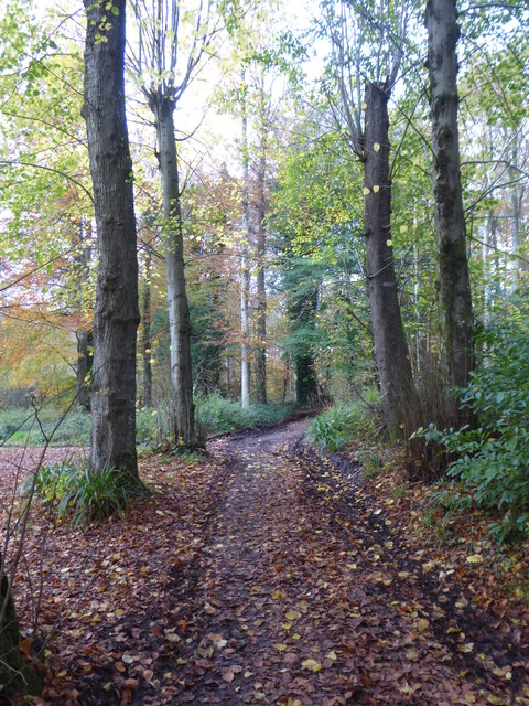
The woodland is characterized by its diverse range of tree species, including oak, beech, ash, and birch. The dense canopy provides ample shade during the summer months, creating a cool and inviting atmosphere. The forest floor is carpeted with a variety of wildflowers, such as bluebells and primroses, adding to its natural beauty.

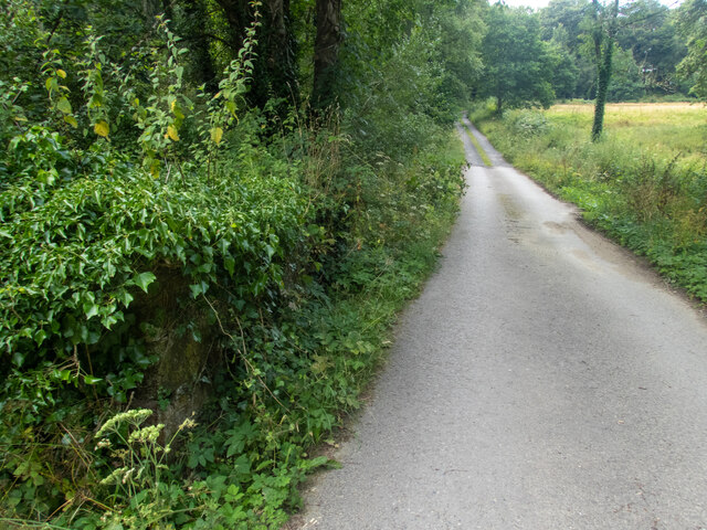
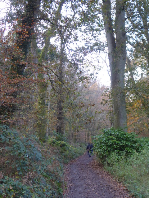
Perfect's Copse is intersected by a network of walking trails, allowing visitors to explore the area at their own pace. These well-maintained paths wind through the woodland, providing opportunities to observe the local flora and fauna. The copse is home to a wide range of wildlife, including squirrels, rabbits, and various bird species.

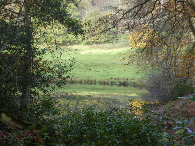
In addition to its natural charm, Perfect's Copse also boasts a picnic area and a small pond, making it an ideal spot for a family outing or a peaceful retreat. The pond attracts a variety of water-loving creatures, including ducks and dragonflies, providing a unique opportunity for nature observation.

Overall, Perfect's Copse is a delightful woodland retreat that offers a serene and idyllic setting for nature enthusiasts. With its diverse range of trees, abundant wildlife, and scenic walking trails, it is a must-visit destination for those seeking a connection with nature in Somerset.

If you have any feedback on the listing, please let us know in the comments section below.

Perfect's Copse Images

Images are sourced within 2km of 51.104011/-2.3526334 or Grid Reference ST7533. Thanks to Geograph Open Source API. All images are credited.

A lane into the estate The view is along Top Lane, which is in the Stourhead estate. There is a benchmark on the left which took some effort to free from the undergrowth. The wall mentioned in the OS description (see <a href="https://www.geograph.org.uk/photo/6935237">ST7633 : Benchmark freed from nettles and ivy</a>) is actually the lower parapet over the stream connecting the various ornamental lakes – the headwaters of the River Stour.
A lane into the estate
The view is along Top Lane, which is in the Stourhead estate. There is a benchmark on the left which took some effort to free from the undergrowth. The wall mentioned in the OS description (see ST7633 : Benchmark freed from nettles and ivy) is actually the lower parapet over the stream connecting the various ornamental lakes – the headwaters of the River Stour.
Benchmark freed from nettles and ivy Once the ivy, nettles, brambles, moss and various other bits and pieces had been scraped aside <a href="https://www.geograph.org.uk/photo/6935234">ST7633 : A lane into the estate</a>, the benchmark (NBM WALL SW SIDE TOP LANE NE FACE E ANG) was revealed as remarkably undamaged.
Benchmark freed from nettles and ivy
Once the ivy, nettles, brambles, moss and various other bits and pieces had been scraped aside ST7633 : A lane into the estate, the benchmark (NBM WALL SW SIDE TOP LANE NE FACE E ANG) was revealed as remarkably undamaged.
Looking from the woods across the pool above the Lily Pond
Path through the woods by Six Wells Bottom
Path through the woods west of Iron Bridge
View through the trees to The Pantheon One of a number of stone structures built around the lake. Modelled on the Pantheon in Rome, it was originally called the Temple of Hercules as it was home to a statue of Hercules created by Rysbrack. It was renamed the Pantheon when statues including Diana, Flora, Isis and St Susanna were added in the 1760s. Famous architect Henry Flitcroft designed the structure.
View through the trees to The Pantheon
One of a number of stone structures built around the lake. Modelled on the Pantheon in Rome, it was originally called the Temple of Hercules as it was home to a statue of Hercules created by Rysbrack. It was renamed the Pantheon when statues including Diana, Flora, Isis and St Susanna were added in the 1760s. Famous architect Henry Flitcroft designed the structure.
The Pantheon Viewed from across the lake.
The Pantheon
Viewed from across the lake.
View of the Pantheon beyond the Palladian Bridge The Gothic cottage is just to the right of the Pantheon.
View of the Pantheon beyond the Palladian Bridge
The Gothic cottage is just to the right of the Pantheon.
The Grotto Stourhead’s Grotto is a circular, domed chamber built to resemble a cave.
The Grotto
Stourhead’s Grotto is a circular, domed chamber built to resemble a cave.
The Temple of Apollo This circular temple was built in 1765, by the architect Henry Flitcroft, to outdo William Chamber's earlier Temple of the Sun at Kew. It is dedicated to Apollo.
The Temple of Apollo
This circular temple was built in 1765, by the architect Henry Flitcroft, to outdo William Chamber's earlier Temple of the Sun at Kew. It is dedicated to Apollo.
View across the lake from the Temple of Apollo Henry ‘the Magnificent’ and his architect Henry Flitcroft planned the lake before work began on the garden buildings such as the Temple of Flora, Pantheon and Grotto.
View across the lake from the Temple of Apollo
Henry ‘the Magnificent’ and his architect Henry Flitcroft planned the lake before work began on the garden buildings such as the Temple of Flora, Pantheon and Grotto.
Entrance to the Temple of Apollo The table just inside was set up for a Wedding.
Entrance to the Temple of Apollo
The table just inside was set up for a Wedding.
Detail inside the Temple of Apollo Apollo was a Sun god.
Detail inside the Temple of Apollo
Apollo was a Sun god.
The Pantheon
The Pantheon
Details inside the Pantheon
Tower Road
Tower Road
Beside Tower Road on the Stourhead Estate
King Alfred's Tower Revisited Huge folly standing on top of Kingsettle Hill, just inside the Somerset border with Wiltshire.
Grade I Listed Building belonging to the National Trust, it was completed in 1772 by Henry Hoare to commemorate the ending of the Seven Years War with France and the accession of George III.
The location is believed to be near Egbert's Stone where Alfred rallied the Anglo-Saxons before the decisive Battle of Edington.
<a href="https://www.geograph.org.uk/photo/286353">ST7435 : Alfred's Tower</a>
The triangular tower is 161 foot high, with a hollow interior containing a spiral staircase.
King Alfred's Tower Revisited
Huge folly standing on top of Kingsettle Hill, just inside the Somerset border with Wiltshire. Grade I Listed Building belonging to the National Trust, it was completed in 1772 by Henry Hoare to commemorate the ending of the Seven Years War with France and the accession of George III. The location is believed to be near Egbert's Stone where Alfred rallied the Anglo-Saxons before the decisive Battle of Edington. ST7435 : Alfred's Tower The triangular tower is 161 foot high, with a hollow interior containing a spiral staircase.
Show me another place!

Perfect's Copse is located at Grid Ref: ST7533 (Lat: 51.104011, Lng: -2.3526334)

Unitary Authority: Wiltshire

Police Authority: Wiltshire

What 3 Words

///dignitary.families.smoothly. Near Kilmington, Wiltshire

Related Wikis

Heath Hill Farm

Heath Hill Farm (grid reference ST757336) is a 20.73 hectare biological Site of Special Scientific Interest near Stourton in Wiltshire, notified in 1997...

Kenwalch's Castle

Kenwalch's Castle is probably an Iron Age hill fort that may have been converted into a Roman fortress, near Penselwood, Somerset, England, 6.6 kilometres...

Nozarego

Nozarego is a village in the commune of Santa Margherita Ligure in Liguria, Italy. It is a natural terrace over the Bay of Tigullio. Here there is the...
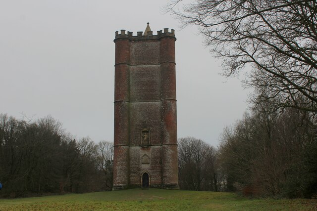
King Alfred's Tower

Alfred's Tower is a folly in Somerset, England, on the edge of the border with Wiltshire, on the Stourhead estate. The tower stands on Kingsettle Hill...

Cockroad Wood Castle

Cockroad Wood Castle was a castle near Wincanton but now in the parish of Charlton Musgrove, Somerset, England. == History == Cockroad Wood Castle was...
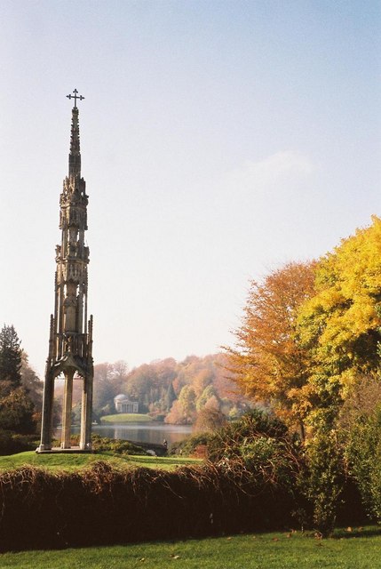
Bristol High Cross

Bristol High Cross is a monumental market cross erected in 1373 in the centre of Bristol. It was built in Decorated Gothic style on the site of an earlier...
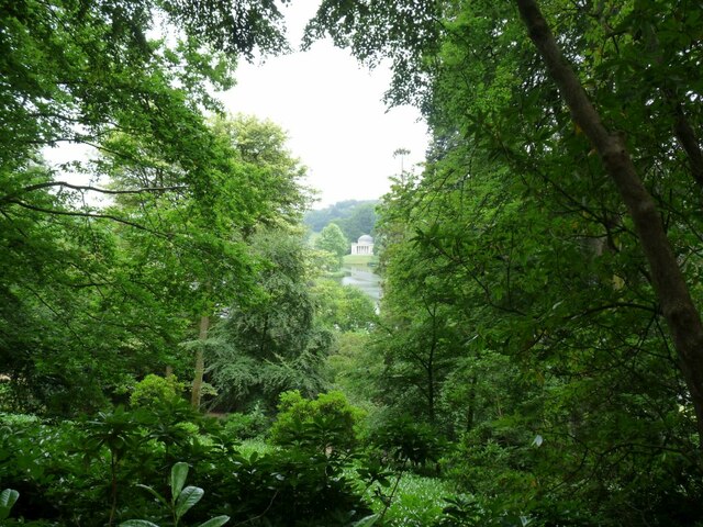
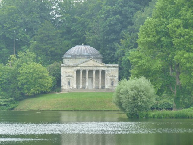
Stourhead

Stourhead () is a 1,072-hectare (2,650-acre) estate at the source of the River Stour in the southwest of the English county of Wiltshire, extending into...

Penselwood

Penselwood is a village and civil parish in the English county of Somerset. It is located 4 miles (6.4 km) north east of Wincanton, 4 miles (6.4 km) south...

Have you been to Perfect's Copse?

Leave your review of Perfect's Copse below (or comments, questions and feedback).