Ash Haugh Nook
Wood, Forest in Northumberland
England
Ash Haugh Nook

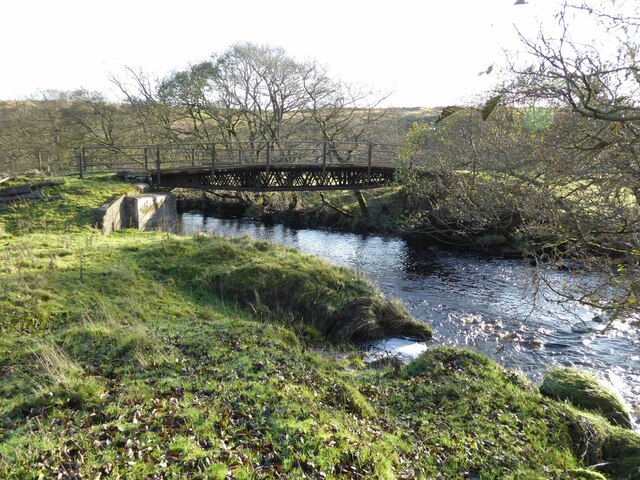
Ash Haugh Nook is a charming woodland area located in Northumberland, England. Covering an area of approximately 10 acres, this peaceful nook is nestled within the picturesque countryside, offering a serene escape for nature enthusiasts and outdoor lovers.
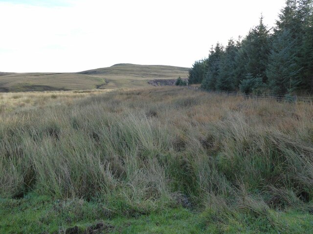
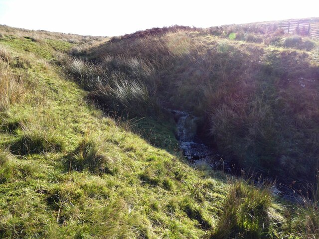
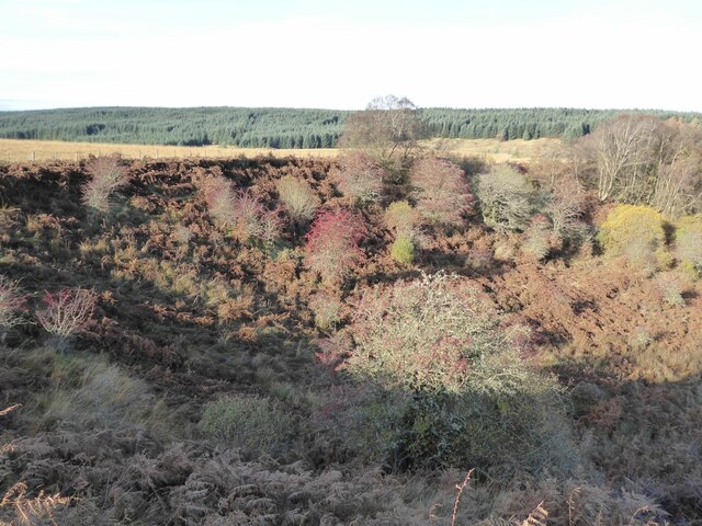
The woodland is predominantly made up of ash trees, hence its name, which provide a dense canopy of foliage, creating a cool and shaded environment. The varied topography of the area includes gentle slopes, small dells, and meandering trails, adding to its natural beauty.
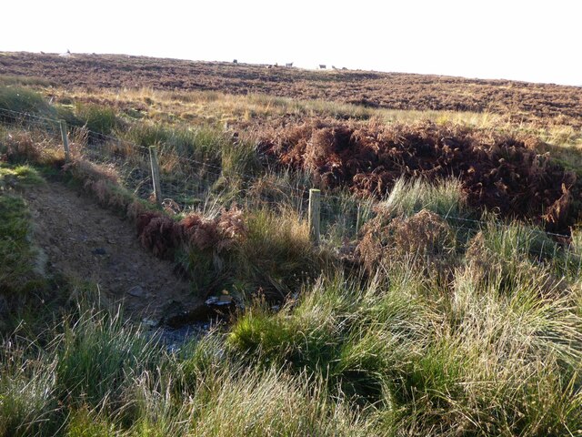
Ash Haugh Nook is home to a diverse range of flora and fauna, making it a haven for wildlife. Visitors may spot a plethora of bird species, including woodpeckers, owls, and various songbirds. The forest floor is adorned with an array of wildflowers, ferns, and mosses, providing a vibrant and enchanting atmosphere.
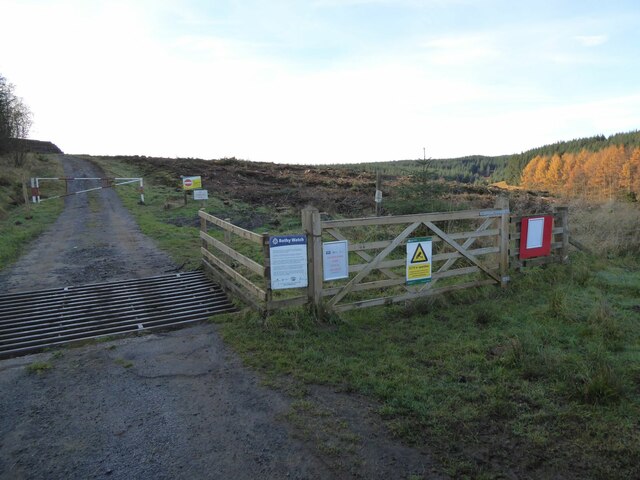
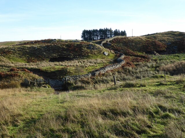
The woodland is equipped with a network of well-maintained walking paths, allowing visitors to explore the area at their leisure. These trails wind through the trees, offering glimpses of the surrounding countryside and providing opportunities to spot wildlife along the way. The peaceful ambiance and tranquil surroundings make Ash Haugh Nook an ideal spot for relaxing walks, picnics, and nature photography.
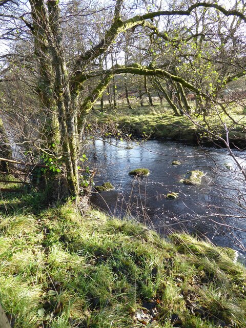
Located in close proximity to other natural attractions, such as rivers and open fields, Ash Haugh Nook offers a delightful combination of woodland beauty and scenic vistas. Whether one seeks solace in nature or wishes to engage in outdoor activities, this woodland retreat is sure to captivate visitors with its serene atmosphere and undeniable allure.
If you have any feedback on the listing, please let us know in the comments section below.
Ash Haugh Nook Images
Images are sourced within 2km of 55.136521/-2.3880785 or Grid Reference NY7582. Thanks to Geograph Open Source API. All images are credited.


Ash Haugh Nook is located at Grid Ref: NY7582 (Lat: 55.136521, Lng: -2.3880785)
Unitary Authority: Northumberland
Police Authority: Northumbria
What 3 Words
///require.desiring.prospers. Near Bellingham, Northumberland
Nearby Locations
Related Wikis

Dally Castle
Dally Castle is a ruined 13th-century stone motte-and-bailey fortress in Northumberland, and one of the first hall houses in Northumberland. It lies 5...

Greystead
Greystead is a village and civil parish in Northumberland, England west of Bellingham. The population as of the 2011 census was less than 100. It shares...

Thorneyburn railway station
Thorneyburn railway station served the village of Thorneyburn, Northumberland, England from 1861 to 1956 on the Border Counties Railway. == History... ==

Tarset Castle
Tarset Castle is a ruin near Tarset in Northumberland. == History == A licence to crenellate was granted to John Comyn in 1267, and the castle was built...

Tarset railway station
Tarset railway station served the civil parish of Tarset, Northumberland, England from 1862 to 1958 on the Border Counties Railway. == History == The station...
Tarset
Tarset is a civil parish in Northumberland, England, created in 1955 from parts of Bellingham, Tarset West and Thorneyburn parishes. It is 4 miles (6 km...
Thorneyburn
Thorneyburn is a village and former civil parish, now in the parish of Tarset, in Northumberland, England, to the northwest of Bellingham. In 1951 the...
Wark Forest
Wark Forest is the southern part of Kielder Forest in Northumberland, England. Wark Forest is found within the south-west tip of Northumberland National...
Nearby Amenities
Located within 500m of 55.136521,-2.3880785Have you been to Ash Haugh Nook?
Leave your review of Ash Haugh Nook below (or comments, questions and feedback).