Norrest Wood

Wood, Forest in Herefordshire

England

Norrest Wood

Longley Green - view east from Suckley post office
Longley Green - view east from Suckley post office Credit: Peter Whatley

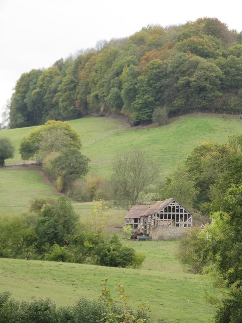
Norrest Wood is a picturesque woodland located in Herefordshire, England. Covering an area of approximately 200 acres, it is situated in the eastern part of the county, close to the village of Lugwardine. The wood is managed by the Forestry Commission and offers a peaceful retreat for nature enthusiasts and outdoor adventurers alike.

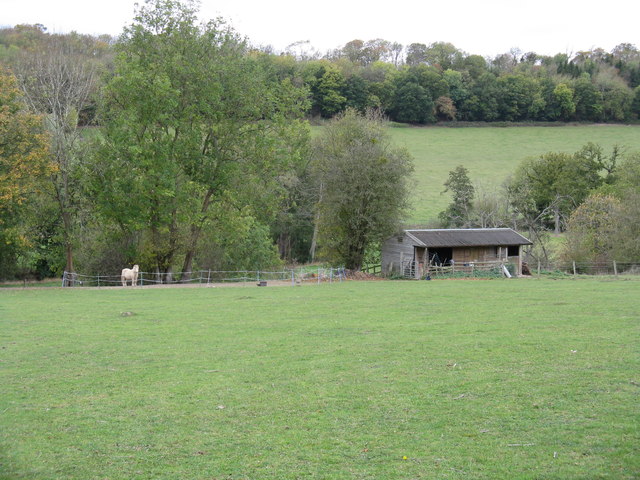
Norrest Wood is primarily composed of deciduous trees, including oak, beech, and ash, which create a diverse and vibrant canopy throughout the year. The forest floor is covered with a rich carpet of bluebells and wildflowers during the spring and summer months, providing a stunning display of colors.

The wood is crisscrossed by a network of well-maintained footpaths, allowing visitors to explore its natural beauty on foot. These paths lead visitors through enchanting glades, alongside trickling streams, and up gentle slopes, providing panoramic views of the surrounding countryside.

Wildlife is abundant in Norrest Wood, with a variety of bird species nesting among the trees, including woodpeckers, tits, and finches. Squirrels can also be spotted scampering through the branches, while deer occasionally graze in the clearings.

Norrest Wood is a popular destination for outdoor activities such as hiking, birdwatching, and photography. It offers a tranquil escape from the hustle and bustle of everyday life, allowing visitors to immerse themselves in the beauty of nature. Whether it's a leisurely stroll or a more energetic hike, Norrest Wood offers something for everyone, making it a cherished natural gem in Herefordshire.

If you have any feedback on the listing, please let us know in the comments section below.
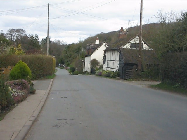
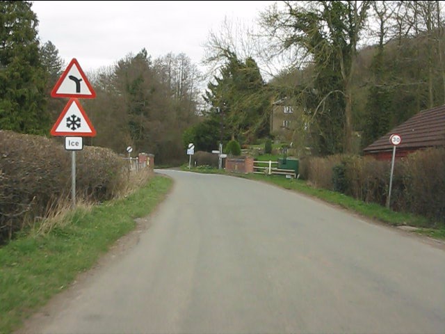
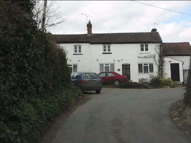
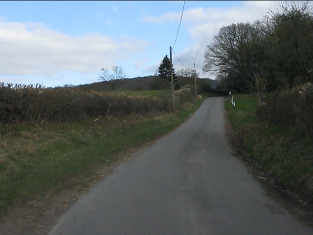
Norrest Wood Images

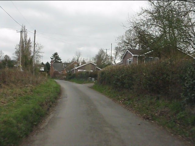
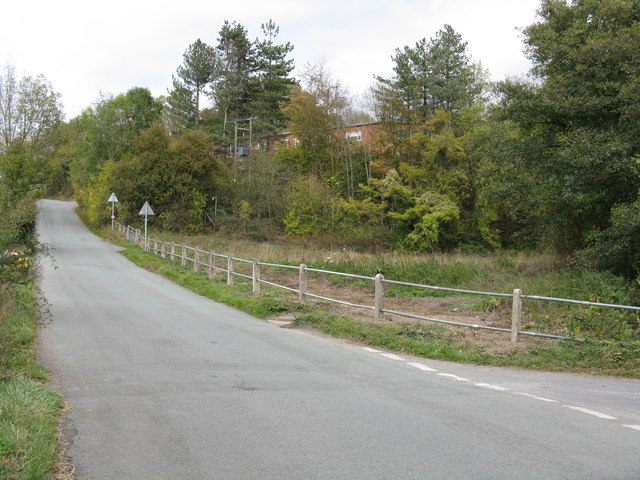
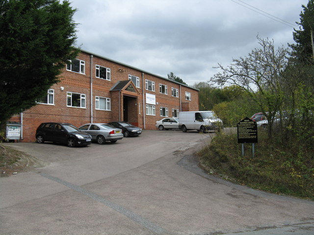
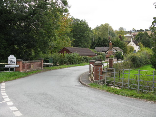
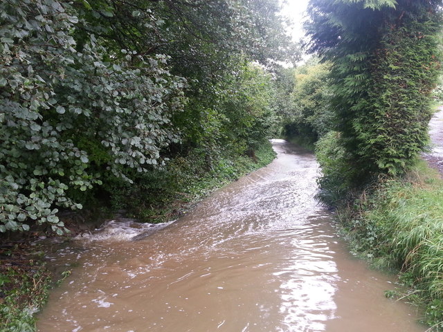
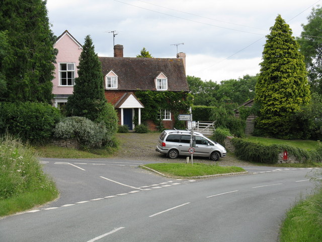
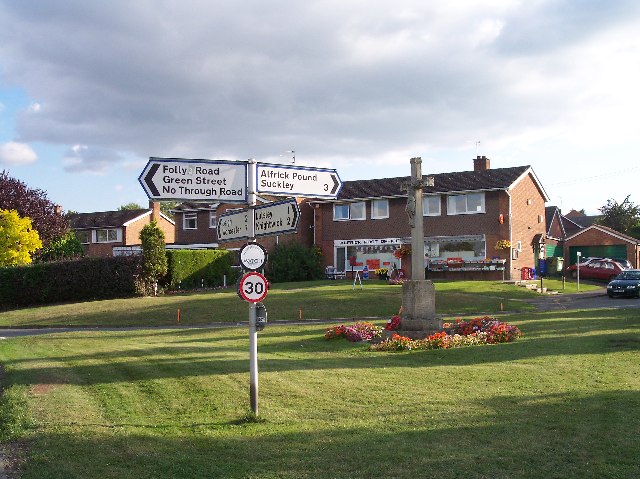
Images are sourced within 2km of 52.149745/-2.3616304 or Grid Reference SO7550. Thanks to Geograph Open Source API. All images are credited.

Longley Green - view east from Suckley post office
Longley Green - Batchelor's Bridge The building in the distance is Mosewick Farm, across the county boundary in Herefordshire.
Longley Green - Batchelor's Bridge
The building in the distance is Mosewick Farm, across the county boundary in Herefordshire.
Byways - a former pub Once a small pub frequented by farmworkers, the building has for many years been a private dwelling.
Byways - a former pub
Once a small pub frequented by farmworkers, the building has for many years been a private dwelling.
Birchwood Lane near Byways
Modern bungalows on Birchwood Lane
Looking north from near Byways Byways is a former pub on Birchwood Lane.  Lower Tundridge Farm's fields form much of the view.
Looking north from near Byways
Byways is a former pub on Birchwood Lane. Lower Tundridge Farm's fields form much of the view.
It's a pig's paradise Following on from Pigwig <a title="https://www.geograph.org.uk/photo/860570" href="https://www.geograph.org.uk/photo/860570">Link</a> a multitude of porkers now range on the hillside above Lower Tundridge Farm.  Delicious!
It's a pig's paradise
Following on from Pigwig Link a multitude of porkers now range on the hillside above Lower Tundridge Farm. Delicious!
Repaired railings on Suckley Road The railings protecting the Bruff Business Centre's lower parking area were replaced in the week beginning October 10th, 2011, following damage caused by two errant cars. Part of the Business Centre is visible through the trees.
Repaired railings on Suckley Road
The railings protecting the Bruff Business Centre's lower parking area were replaced in the week beginning October 10th, 2011, following damage caused by two errant cars. Part of the Business Centre is visible through the trees.
Bruff Business Centre, Suckley The business centre is rather larger than might appear from its frontage.  It occupies the site of the former Bruff agricultural engineering factory.  Bruff were well-known makers of hop picking equipment, several examples of which are still in use in the local area.
Bruff Business Centre, Suckley
The business centre is rather larger than might appear from its frontage. It occupies the site of the former Bruff agricultural engineering factory. Bruff were well-known makers of hop picking equipment, several examples of which are still in use in the local area.
Sheep grazing by Batchelor's Bridge
Batchelor's Bridge, Longley Green The southern part of the parish of Suckley is known as Longley Green.  This occasionally leads to confusion, hence the additional signage under the main board.
Batchelor's Bridge, Longley Green
The southern part of the parish of Suckley is known as Longley Green. This occasionally leads to confusion, hence the additional signage under the main board.
Paddock by Suckley Road
Remains of Harp Farm The structures now belong to Mosewick Farm.
Remains of Harp Farm
The structures now belong to Mosewick Farm.
View towards Mousehole Bridge From the "green lane" which runs west from Byways.
View towards Mousehole Bridge
From the "green lane" which runs west from Byways.
New barn near Byways
Longley Green on a misty morning The scene from the post office, looking east.
Longley Green on a misty morning
The scene from the post office, looking east.
Birchwood Lane after a storm After 24 hours of incessant rain, water flows unchecked down the lane across the entire surface. The culvert alongside was taking the water away now the rain had stopped, but nearly a foot of water remained at the Longley Green end of the lane.
Birchwood Lane after a storm
After 24 hours of incessant rain, water flows unchecked down the lane across the entire surface. The culvert alongside was taking the water away now the rain had stopped, but nearly a foot of water remained at the Longley Green end of the lane.
Birchwood Lane in full flow About 50 yards from the Longley Green end of the lane and the lane is effectively a small stream after 24 hours of rainfall. In the left foreground some water escapes into the adjoining culvert
Birchwood Lane in full flow
About 50 yards from the Longley Green end of the lane and the lane is effectively a small stream after 24 hours of rainfall. In the left foreground some water escapes into the adjoining culvert
Show me another place!

Norrest Wood is located at Grid Ref: SO7550 (Lat: 52.149745, Lng: -2.3616304)

Unitary Authority: County of Herefordshire

Police Authority: West Mercia

What 3 Words

///replays.lingering.ship. Near Great Malvern, Worcestershire

Nearby Locations

Long Coppice Norrest Wood

Related Wikis

Crowcroft

Crowcroft is a small hamlet just outside Leigh Sinton in Worcestershire, England. The main industry for the area is fruit growing, particularly for local...

Alfrick Pound

Alfrick Pound is a small village in the county of Worcestershire, England, in the United Kingdom. == Location == Alfrick Pound village is located on the...

Radar Research and Development Establishment

The Radar Research and Development Establishment, RRDE for short, was a civilian research organization run by the United Kingdom's Ministry of Supply that...

Alfrick

Alfrick is a village and civil parish in the Malvern Hills district of Worcestershire, England, about seven miles west of Worcester. == Amenities == The...

Nearby Amenities

Located within 500m of 52.149745,-2.3616304
Barrier: stile
Foot: yes
Lat/Long: 52.1478939/-2.3647907
Barrier: stile
Foot: yes
Lat/Long: 52.1476437/-2.3659565
Barrier: stile
Foot: yes
Lat/Long: 52.1480463/-2.3662019
Barrier: stile
Foot: yes
Lat/Long: 52.1481351/-2.3636452
Barrier: stile
Foot: yes
Lat/Long: 52.1482926/-2.364439
Barrier: stile
Foot: yes
Lat/Long: 52.1483302/-2.3644236
Barrier: stile
Foot: yes
Lat/Long: 52.1484609/-2.3641549
Barrier: kissing_gate
Foot: yes
Lat/Long: 52.1530101/-2.3653867
Barrier: stile
Lat/Long: 52.1537818/-2.3584764
Power: pole
Lat/Long: 52.14882/-2.3647562
Beck Cottage
Power: pole
Transformer: distribution
Voltage Primary: 11000
Lat/Long: 52.1530257/-2.3662837
Power: pole
Lat/Long: 52.152272/-2.3665559
Power: pole
Lat/Long: 52.1515224/-2.3668255
Power: pole
Lat/Long: 52.1509357/-2.3674276
Power: pole
Lat/Long: 52.1503539/-2.3680218
Birch Wood Hall
Power: pole
Transformer: distribution
Voltage Primary: 11000
Lat/Long: 52.1498602/-2.3672828
Power: pole
Lat/Long: 52.1495738/-2.3668362
Power: pole
Lat/Long: 52.149285/-2.3659685
Power: pole
Lat/Long: 52.1490052/-2.3651357
Power: pole
Lat/Long: 52.1484168/-2.3639408
Power: pole
Lat/Long: 52.1477403/-2.3634258
Birch Wood
Power: pole
Transformer: distribution
Voltage Primary: 11000
Lat/Long: 52.1476827/-2.3645537
Power: pole
Lat/Long: 52.1476539/-2.3638777
Power: pole
Lat/Long: 52.1481082/-2.3633158
Power: pole
Lat/Long: 52.1469659/-2.3638415
Power: pole
Lat/Long: 52.1474844/-2.3632394
Birch Wood Lodge Farm
Power: pole
Transformer: distribution
Voltage Primary: 11000
Lat/Long: 52.1466322/-2.3642197
Power: pole
Lat/Long: 52.1478564/-2.3628142
Power: pole
Lat/Long: 52.1479872/-2.3616904
Power: pole
Lat/Long: 52.1481172/-2.3607382
Power: pole
Lat/Long: 52.148295/-2.3598075
Coppice End
Power: pole
Transformer: distribution
Voltage Primary: 11000
Lat/Long: 52.1512294/-2.3583309
Power: pole
Lat/Long: 52.1504/-2.3579246
Power: pole
Lat/Long: 52.1494759/-2.3578642
Power: pole
Lat/Long: 52.1486423/-2.357824
Power: pole
Lat/Long: 52.1488192/-2.3568638
Norrest Farm
Power: pole
Transformer: distribution
Voltage Primary: 11000
Lat/Long: 52.148964/-2.3559693
Power: pole
Lat/Long: 52.1489155/-2.3551498
The data included in this document is from www.openstreetmap.org. The data is made available under ODbL.

Have you been to Norrest Wood?

Leave your review of Norrest Wood below (or comments, questions and feedback).