Hope Orchard
Wood, Forest in Worcestershire Malvern Hills
England
Hope Orchard

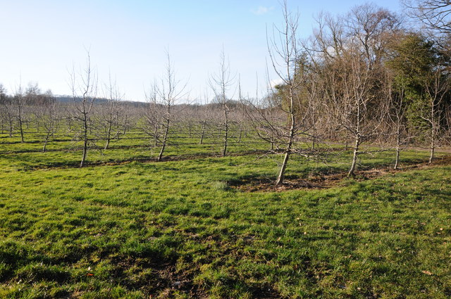
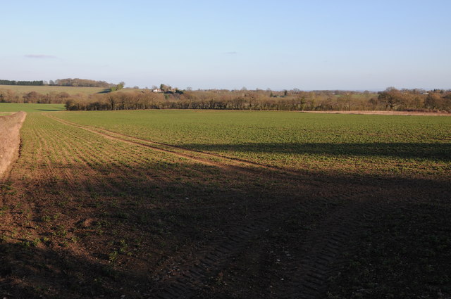
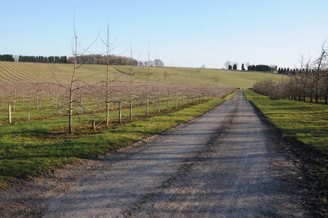
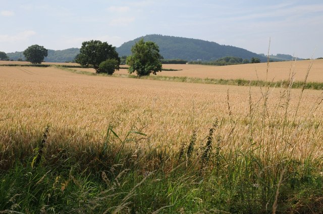
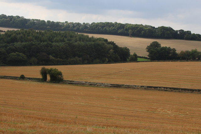
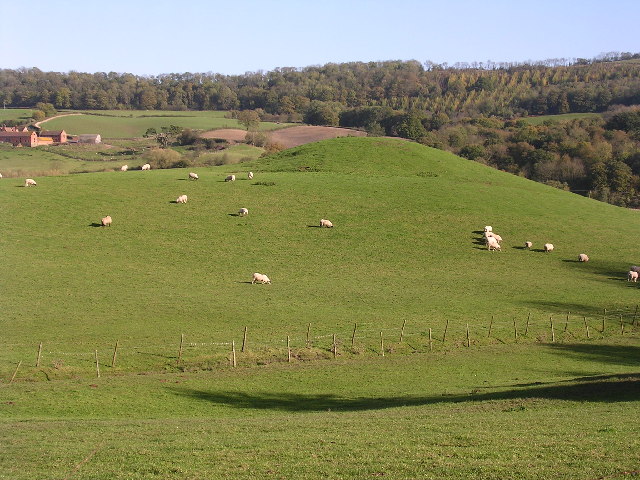
Hope Orchard is a picturesque woodland located in Worcestershire, England. Situated within the larger Hope Forest, this orchard boasts a rich history and offers a serene escape for nature enthusiasts. Spanning over 100 acres, the orchard is home to a diverse range of flora and fauna, making it a haven for wildlife.
The orchard is predominantly comprised of ancient deciduous trees, such as oak, beech, and birch, which provide a stunning canopy of colors during the autumn months. These trees also create a habitat for various bird species, including woodpeckers, owls, and songbirds, making it a popular spot for birdwatching enthusiasts.
In addition to its natural beauty, Hope Orchard is known for its abundant fruit trees, particularly apple and cherry trees. The orchard's fertile soil and favorable climate make it an ideal location for growing these fruits, and visitors can often enjoy picking their own fresh produce during the harvest season.
The orchard is also home to a network of walking trails, allowing visitors to explore its enchanting landscape at their own pace. Whether it's a leisurely stroll or a more adventurous hike, these trails offer breathtaking views of the surrounding countryside and provide opportunities for wildlife spotting.
Hope Orchard truly offers a tranquil retreat from the hustle and bustle of everyday life. Its stunning woodlands, fruit orchards, and diverse wildlife make it a must-visit destination for nature lovers and those seeking a peaceful escape in Worcestershire.
If you have any feedback on the listing, please let us know in the comments section below.
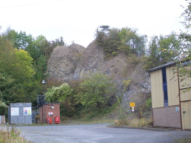
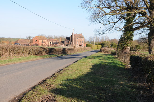
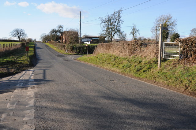
Hope Orchard Images
Images are sourced within 2km of 52.254862/-2.3641993 or Grid Reference SO7561. Thanks to Geograph Open Source API. All images are credited.


Hope Orchard is located at Grid Ref: SO7561 (Lat: 52.254862, Lng: -2.3641993)
Administrative County: Worcestershire
District: Malvern Hills
Police Authority: West Mercia
What 3 Words
///engrossed.turkey.grades. Near Lower Broadheath, Worcestershire
Nearby Locations
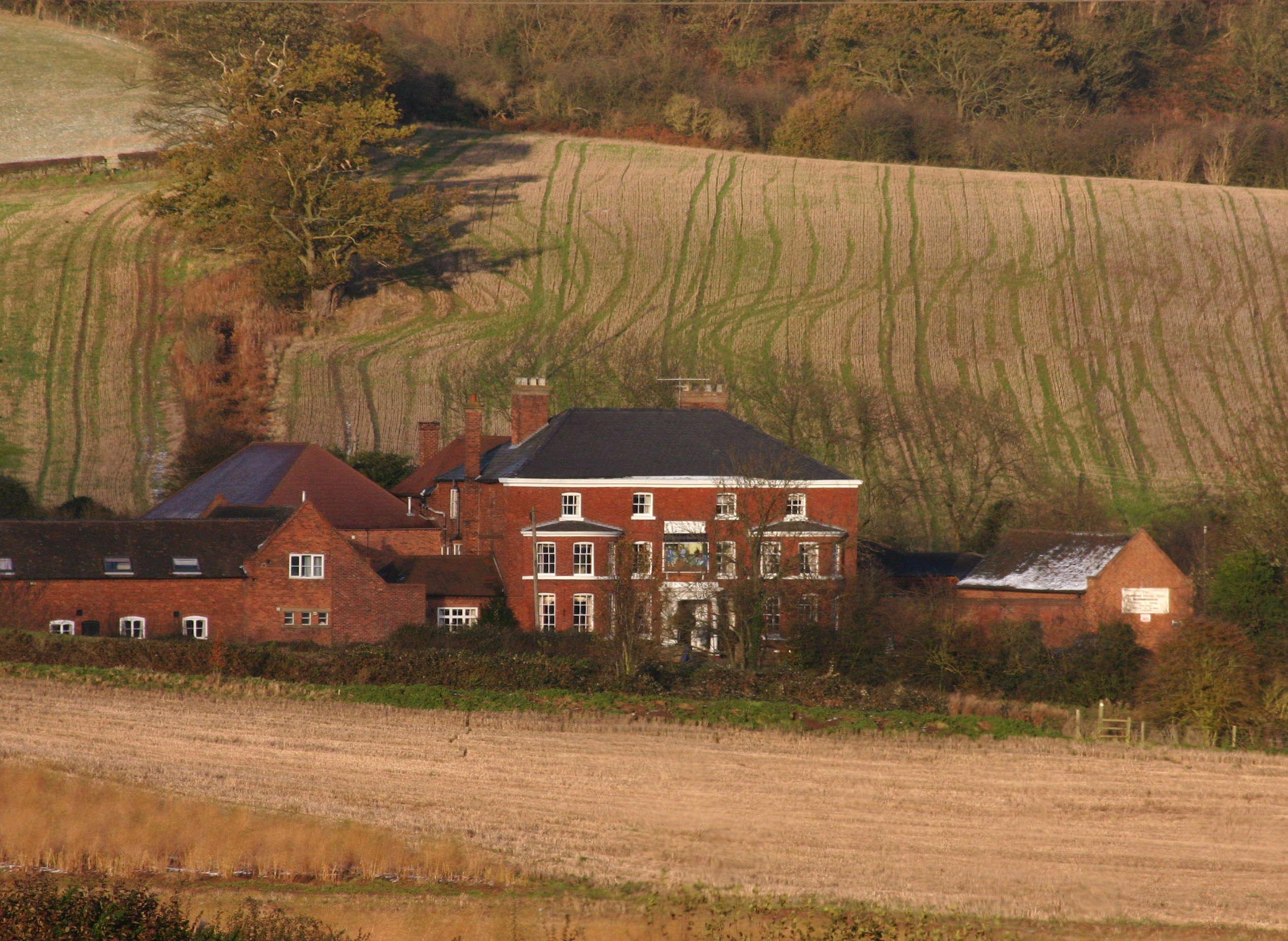
Related Wikis
Ham Castle
Ham Castle (also known as Home or Homme Castle) is located in Worcestershire at the bottom of a wooded escarpment (and close to the River Teme), within...

The Chantry School
The Chantry School is a mixed gender secondary school with academy status located in Martley, Worcestershire, England. The school has about 700 students...

Martley
Martley is a village and civil parish in the Malvern Hills district of the English county of Worcestershire. It is approximately nine miles north-west...

Shelsley Beauchamp
Shelsley Beauchamp or Great Shelsley is a village and civil parish 9 miles (14 km) north west of Worcester, in the Malvern Hills district, in the county...

Woodbury Hill
Woodbury Hill is a hill near the village of Great Witley, about 5 miles (8 km) south-west of Stourport-on-Severn in Worcestershire, England. It is the...

Shelsley Walsh
Shelsley Walsh is a small village and civil parish in Worcestershire, England, on the western side of the River Teme. For administrative purposes it is...
Great Witley
Great Witley is a village and civil parish in the Malvern Hills District in the northwest of the county of Worcestershire, England. It is situated around...
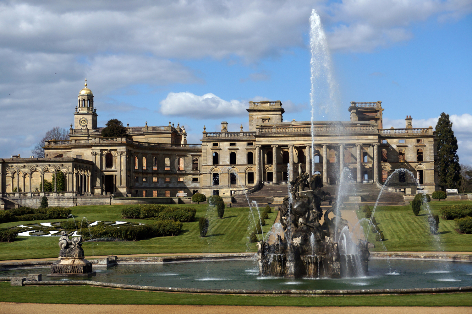
Witley Court
Witley Court, in Great Witley, Worcestershire, England, is a ruined Italianate mansion. Built for the Foleys in the seventeenth century on the site of...
Nearby Amenities
Located within 500m of 52.254862,-2.3641993Have you been to Hope Orchard?
Leave your review of Hope Orchard below (or comments, questions and feedback).