Dunham New Park

Wood, Forest in Cheshire

England

Dunham New Park

Dunham Massey Hall at Christmas
Dunham Massey Hall at Christmas Credit: Richard Cooke

Dunham New Park is a picturesque woodland located in Cheshire, England. Sprawling over a vast area, it covers around 300 acres and is a popular destination for nature lovers and outdoor enthusiasts alike. The park is managed by the National Trust, ensuring its preservation and maintenance.

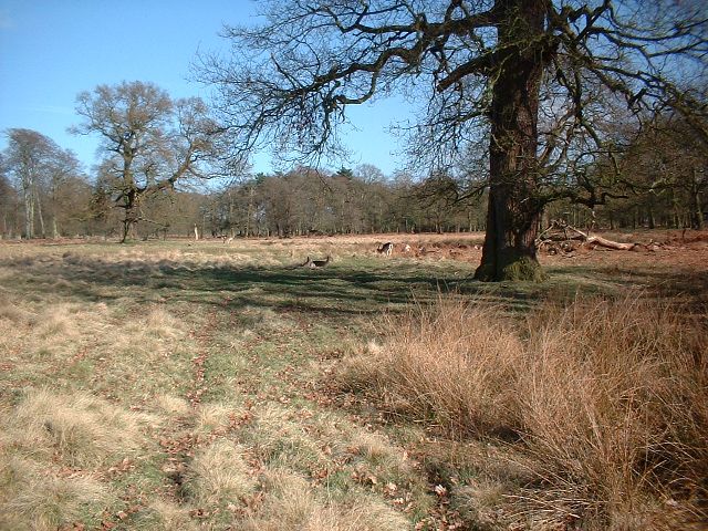
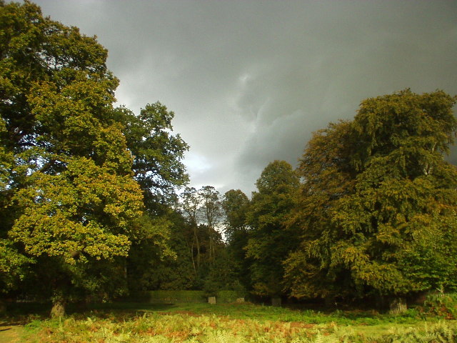
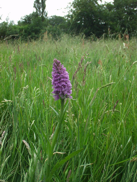
The park is characterized by its dense woodland, consisting primarily of oak, beech, and birch trees. These trees create a lush and vibrant canopy, providing shade and shelter to the various species of flora and fauna that call the park home. The forest floor is adorned with a rich tapestry of wildflowers, adding bursts of color to the landscape.

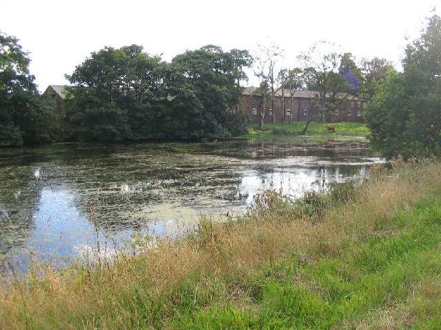
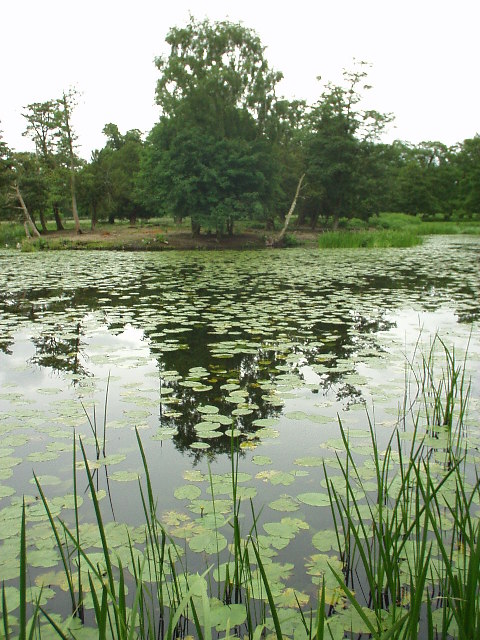
The park offers a network of well-maintained trails, enabling visitors to explore its beauty on foot. These pathways wind through the forest, meandering past tranquil ponds and babbling streams. Along the way, visitors may encounter an array of wildlife, including deer, squirrels, and a diverse range of bird species.

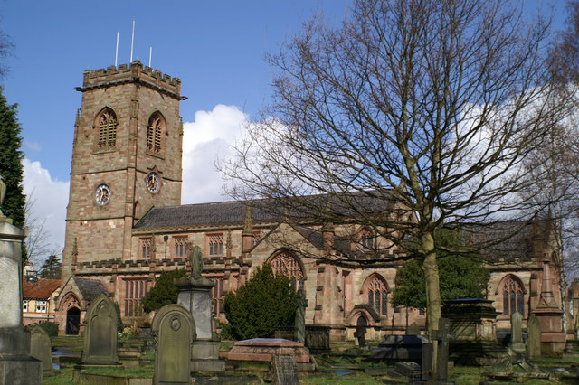
Dunham New Park also boasts historical significance. The park is home to Dunham Massey Hall, a grand Georgian house that dates back to the 18th century. This stately home is open to the public, offering an intriguing glimpse into the past.

Overall, Dunham New Park is a captivating woodland retreat that offers a serene escape from the hustle and bustle of everyday life. Its diverse ecosystem, scenic trails, and historical landmarks make it a cherished destination for both locals and tourists seeking a connection with nature and a touch of history.

If you have any feedback on the listing, please let us know in the comments section below.

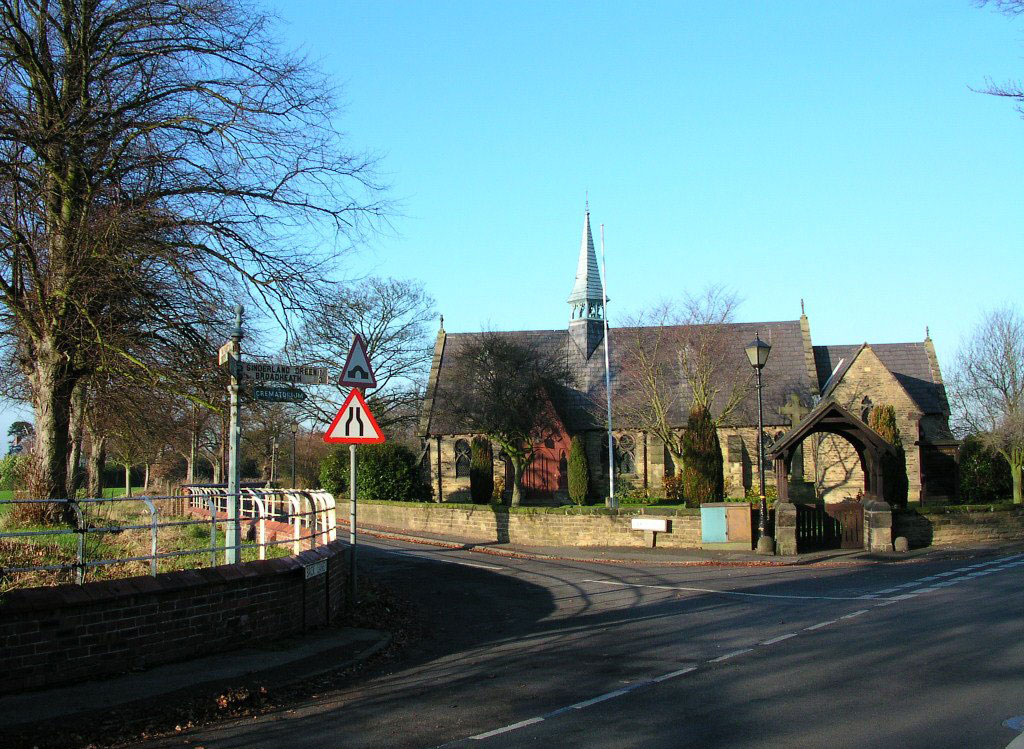
Dunham New Park Images

Images are sourced within 2km of 53.386766/-2.3753727 or Grid Reference SJ7587. Thanks to Geograph Open Source API. All images are credited.

Dunham Massey Hall at Christmas
Dunham Massey Part of the group of buildings by Dunham Massey Hall
Dunham Massey
Part of the group of buildings by Dunham Massey Hall
Dunham Park This shot was taken at the eastern end of the deer park - you can even see some of the deer grazing.
Dunham Park
This shot was taken at the eastern end of the deer park - you can even see some of the deer grazing.
Dunham Massey Hall
Dunham Massey Hall
Home Farm This picture was taken from SJ744864 looking SW across the pond to Home Farm, this farm has been previously known as Dunham Farm.
Home Farm
This picture was taken from SJ744864 looking SW across the pond to Home Farm, this farm has been previously known as Dunham Farm.
A556 This is the view from SJ752872 looking NE along the A556 heading towards Altrincham.
A556
This is the view from SJ752872 looking NE along the A556 heading towards Altrincham.
St Georges Church This image was taken from SJ767882 looking WSW towards St Georges Church, Altrincham.
St Georges Church
This image was taken from SJ767882 looking WSW towards St Georges Church, Altrincham.
Sheep in Sylvan Grove This house was built by the Countess of the Dunham Estate for her Estate Manager in 1900. Typical Victorian neo-Tudor
Sheep in Sylvan Grove
This house was built by the Countess of the Dunham Estate for her Estate Manager in 1900. Typical Victorian neo-Tudor
Rear of Dunham Massey Hall in the winter
Beech Trees at Dunham Park In the north east corner of the deep park at Dunham Massey.
Beech Trees at Dunham Park
In the north east corner of the deep park at Dunham Massey.
Meadow at The Devisdale The Devisdale is an area of open fields near Bowdon, surrounded on all sides by housing. Can any one identify the species of this orchid?
Meadow at The Devisdale
The Devisdale is an area of open fields near Bowdon, surrounded on all sides by housing. Can any one identify the species of this orchid?
Island Pool, Dunham Massey A small lake with the deer park. National Trust property.
Island Pool, Dunham Massey
A small lake with the deer park. National Trust property.
Canal Warehouse, Broadheath, Altrincham Built in 1833 by the Bridgewater Canal Company, this warehouse is located on the south bank of the canal.
Canal Warehouse, Broadheath, Altrincham
Built in 1833 by the Bridgewater Canal Company, this warehouse is located on the south bank of the canal.
Evening Sunset on Bridgewater Canal Summer's evening sunset on the Bridgewater Canal.
Evening Sunset on Bridgewater Canal
Summer's evening sunset on the Bridgewater Canal.
Bowdon Parish Church Well worth a visit just for its extensive and spectacular graveyard
Bowdon Parish Church
Well worth a visit just for its extensive and spectacular graveyard
Seamons Moss Bridge Over the Bridgewater Canal, looking east
Seamons Moss Bridge
Over the Bridgewater Canal, looking east
Diversionary tactics The Trans Pennine Trail follows the abandoned railway line from Warrington to Altrincham for many miles - but has to divert drastically away from it at Broadheath and take to the roads.
Diversionary tactics
The Trans Pennine Trail follows the abandoned railway line from Warrington to Altrincham for many miles - but has to divert drastically away from it at Broadheath and take to the roads.
Alternative tracks Beside the Trans Pennine Trail waymarks this sign indicates other routes available to walkers and riders.
Alternative tracks
Beside the Trans Pennine Trail waymarks this sign indicates other routes available to walkers and riders.
Show me another place!

Dunham New Park is located at Grid Ref: SJ7587 (Lat: 53.386766, Lng: -2.3753727)

Unitary Authority: Trafford

Police Authority: Greater Manchester

What 3 Words

///interlude.barmaid.rate. Near Bowdon, Manchester

Nearby Locations

Dunham New Park

Related Wikis

Dunham Massey POW Camp

Dunham Massey POW Camp was a POW camp detaining German prisoners of war. It was located in the eastern corner of Dunham Massey Home Park in an area which...

Dunham Town

Dunham Town is a village in the civil parish of Dunham Massey in the Metropolitan Borough of Trafford, Greater Manchester, England. It was historically...

Altrincham Grammar School for Girls

Altrincham Grammar School for Girls, also known as Altrincham Girls Grammar School (AGGS) is a girls' grammar school with academy status in Bowdon, Greater...

Black Moss Covert Nature Reserve

Black Moss Covert Nature Reserve is a 2.1 hectare nature reserve in England managed by the Cheshire Wildlife Trust. It is a Site of Biological Importance...

Nearby Amenities

Located within 500m of 53.386766,-2.3753727
Barrier: planter
Bicycle: yes
Foot: yes
Horse: yes
Man Made: planter
Material: wood
Motor Vehicle: no
Lat/Long: 53.3888256/-2.3787501
Turning Circle
Lat/Long: 53.3910467/-2.3756858
Ele: 46.406
Lat/Long: 53.3896086/-2.3706796
Ele: 58.300
Lat/Long: 53.3900566/-2.3735026
Barrier: kissing_gate
Lat/Long: 53.3850471/-2.3687849
Barrier: kissing_gate
Lat/Long: 53.3841639/-2.3704293
Parking
Lat/Long: 53.3833779/-2.371192
Bus Stop
Oldfield Brow, Greenway / near Oldfield Road
Bus: yes
Naptan AtcoCode: 1800SJ11141
Naptan Bearing: N
Naptan CommonName: Greenway/Oldfield Road
Naptan Indicator: O/s House 1
Naptan Landmark: HOUSE 1
Naptan NaptanCode: manjpwjm
Naptan PlusbusZoneRef: MNCRPIC
Naptan ShortCommonName: Oldfield Road
Naptan Street: GREENWAY
Naptan Verified: no
Network: TfGM
Operator: TfGM
Public Transport: platform
Source: naptan_import
Lat/Long: 53.3901885/-2.3736332
Turning Circle
Lat/Long: 53.3905433/-2.3736417
Note: Entrance to wooded area
Lat/Long: 53.3860843/-2.3700187
wpt-2009-10-04T06:17:46Z
Ele: 64.891
Lat/Long: 53.3851804/-2.3686265
Golf: pin
Ref: 1
Lat/Long: 53.3859086/-2.3723054
Golf: pin
Ref: 2
Lat/Long: 53.3872546/-2.3751507
Golf: pin
Ref: 3
Lat/Long: 53.3876184/-2.3722498
Golf: pin
Ref: 4
Lat/Long: 53.3873801/-2.3779329
Golf: pin
Ref: 5
Lat/Long: 53.3857579/-2.3739596
Golf: pin
Ref: 6
Lat/Long: 53.3840245/-2.3810793
Golf: pin
Ref: 10
Lat/Long: 53.3877195/-2.3819361
Golf: pin
Ref: 12
Lat/Long: 53.3840053/-2.3758605
Golf: pin
Ref: 13
Lat/Long: 53.3841991/-2.3775378
Golf: pin
Ref: 14
Lat/Long: 53.385557/-2.3700903
Golf: pin
Ref: 15
Lat/Long: 53.3839696/-2.3719557
Golf: pin
Ref: 16
Lat/Long: 53.3832943/-2.3772881
Golf: pin
Ref: 18
Lat/Long: 53.3868214/-2.3794484
Crossing
Lat/Long: 53.3868698/-2.3789292
Crossing
Lat/Long: 53.3911003/-2.374966
Crossing
Lat/Long: 53.3911381/-2.3743132
Crossing
Lat/Long: 53.3904912/-2.3744376
Turning Circle
Lat/Long: 53.386557/-2.3707368
Barrier: planter
Bicycle: yes
Foot: yes
Horse: yes
Man Made: planter
Material: wood
Motor Vehicle: no
Lat/Long: 53.3888717/-2.3785875
Crossing
Lat/Long: 53.3837242/-2.3806835
The data included in this document is from www.openstreetmap.org. The data is made available under ODbL.

Have you been to Dunham New Park?

Leave your review of Dunham New Park below (or comments, questions and feedback).