Egerton Clump
Wood, Forest in Cheshire
England
Egerton Clump
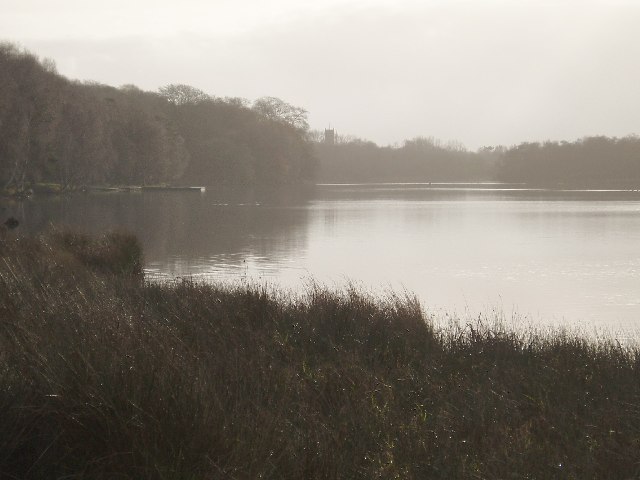
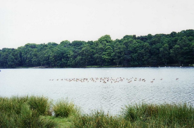
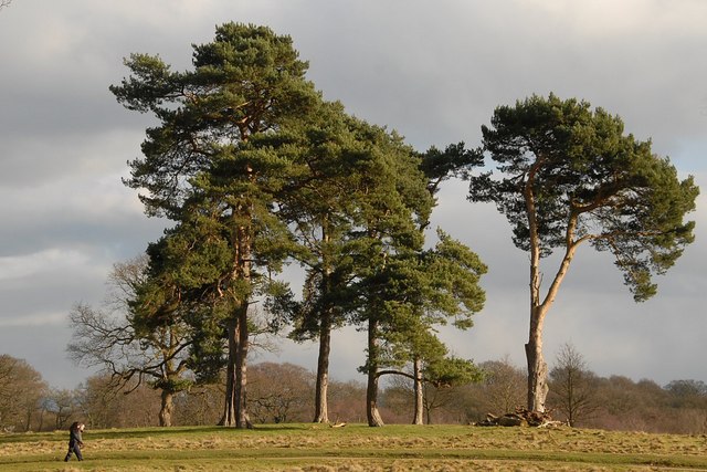
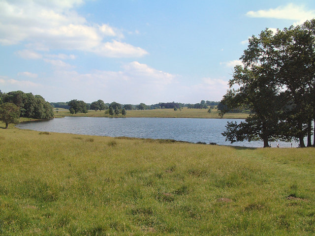
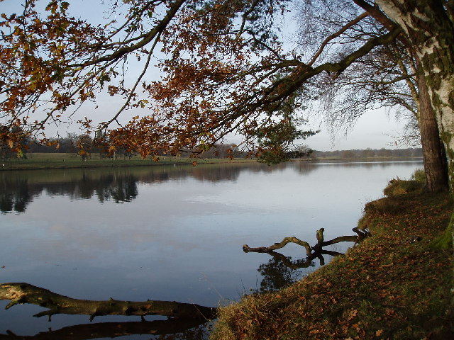
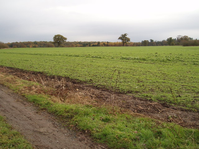
Egerton Clump is a picturesque woodland located in Cheshire, England. Situated near the village of Egerton and surrounded by lush green fields, this forested area is a haven for nature lovers and outdoor enthusiasts.
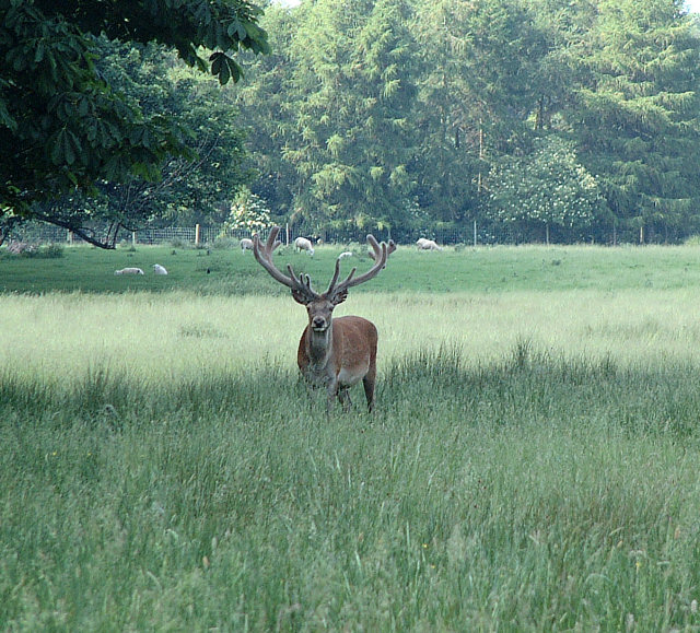
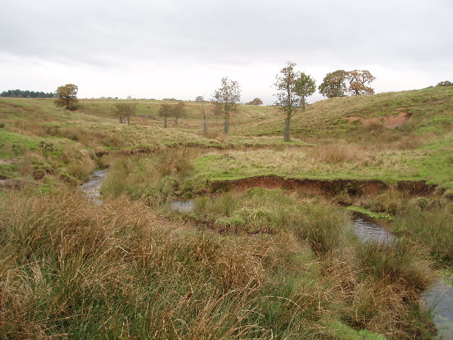
Covering approximately 30 hectares, Egerton Clump is known for its diverse array of trees, including beech, oak, ash, and birch. The forest is characterized by its dense canopy, which provides ample shade and shelter for a variety of wildlife. Visitors can spot a range of bird species, such as woodpeckers, owls, and warblers, as well as mammals like foxes, badgers, and deer.
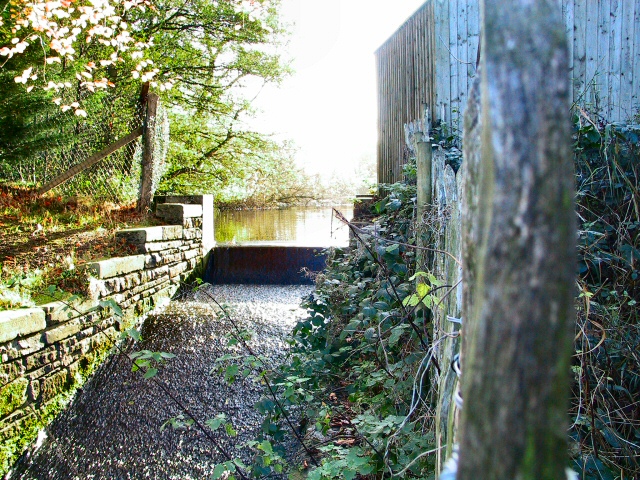
The woodland is crisscrossed with a network of well-maintained footpaths, making it ideal for leisurely walks and hikes. These trails offer stunning views of the surrounding countryside, with rolling hills and charming rural landscapes in every direction. Additionally, there are picnic areas scattered throughout the forest, providing the perfect spot to relax and enjoy a packed lunch amidst the tranquility of nature.
Egerton Clump also holds historical significance, with remnants of ancient settlements and burial mounds dating back to the Neolithic period. Archaeological finds in the area have included flint tools, pottery fragments, and burial urns, providing insights into the lives of the people who once inhabited the land.
Overall, Egerton Clump in Cheshire offers a serene and idyllic escape from the hustle and bustle of everyday life. With its stunning natural beauty, diverse wildlife, and rich history, it is a must-visit destination for anyone seeking a peaceful retreat in the heart of the English countryside.
If you have any feedback on the listing, please let us know in the comments section below.
Egerton Clump Images
Images are sourced within 2km of 53.331949/-2.3767529 or Grid Reference SJ7581. Thanks to Geograph Open Source API. All images are credited.


Egerton Clump is located at Grid Ref: SJ7581 (Lat: 53.331949, Lng: -2.3767529)
Unitary Authority: Cheshire East
Police Authority: Cheshire
What 3 Words
///funny.retrial.processor. Near Mere, Cheshire
Nearby Locations
Related Wikis

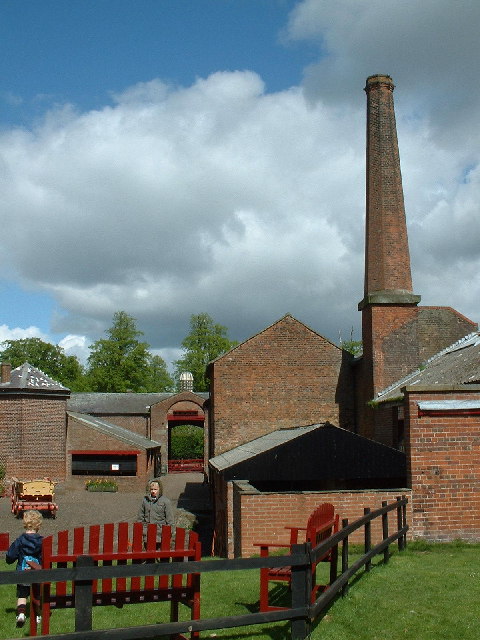
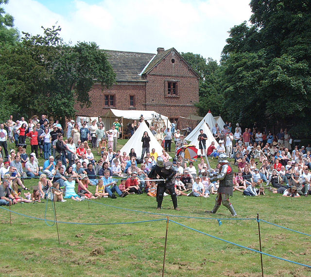
Tatton Park
Tatton Park is a historic estate in Cheshire, England, north of the town of Knutsford. It contains a mansion, Tatton Hall; a medieval manor house, Tatton...

Tatton Park Flower Show
RHS Flower Show Tatton Park held at Tatton Park, near Knutsford, Cheshire, first began in 1999 by the Royal Horticultural Society. The show houses the...
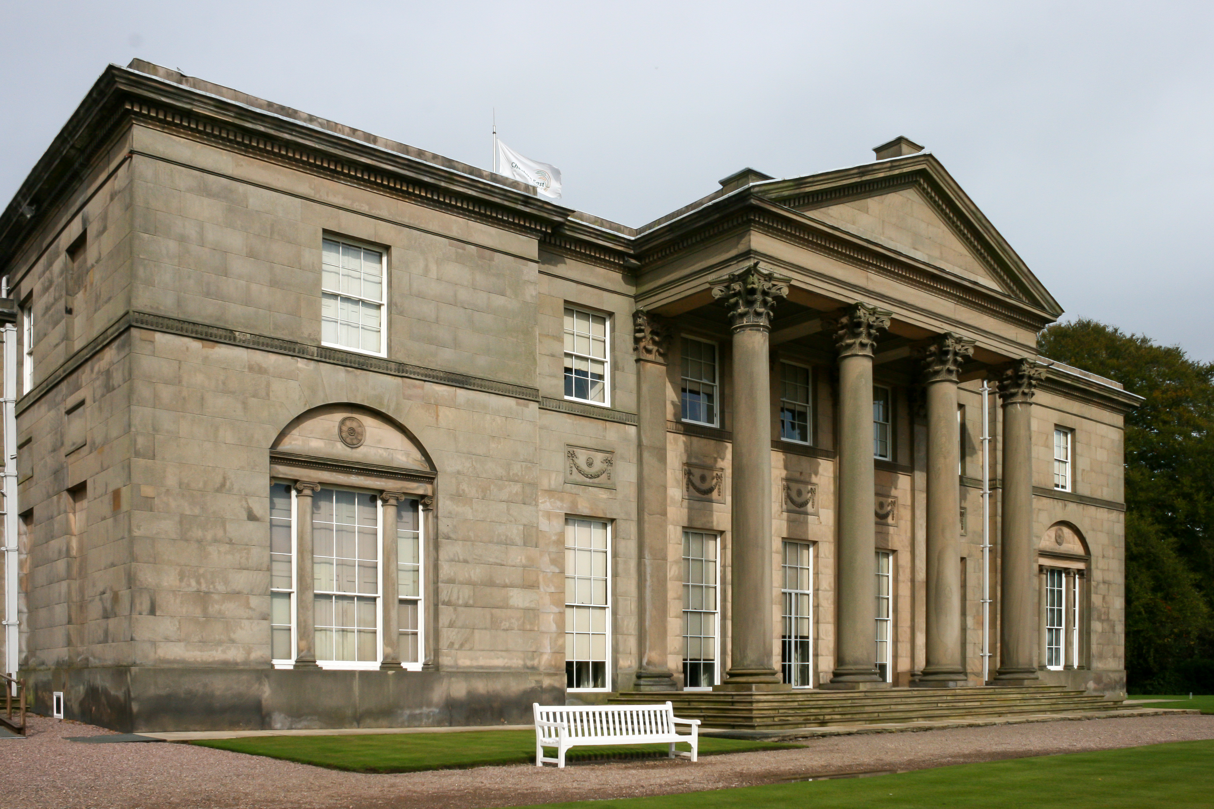
Tatton Hall
Tatton Hall is a country house in Tatton Park near Knutsford, Cheshire, England. It is designated as a Grade I listed building and is open to the public...
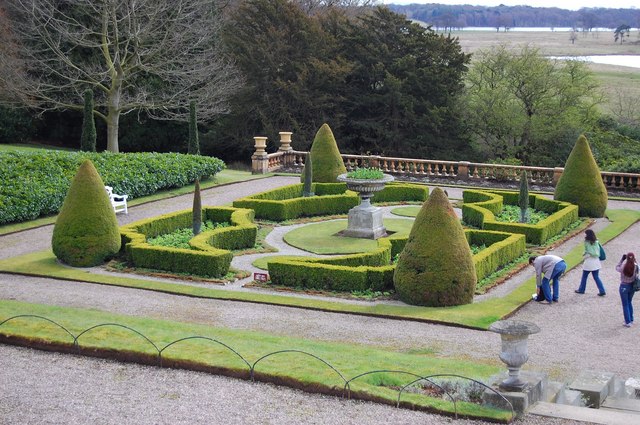
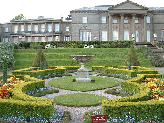
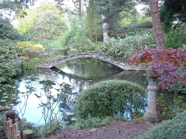
Tatton Park Gardens
Tatton Park Gardens consist of formal and informal gardens in Tatton Park to the south of Tatton Hall, Cheshire, England (grid reference SJ744814). Included...

Tatton Old Hall
Tatton Old Hall is a historic building in Tatton Park near Knutsford, Cheshire, England. It is designated by English Heritage as a Grade II* listed building...
Tatton, Cheshire
Tatton is a former civil parish, now in the parish of Millington and Rostherne, in the Cheshire East district and ceremonial county of Cheshire in England...

Mere New Hall
Mere New Hall stood to the east of the village of Mere and the junction of the A566 and A50 roads in Cheshire, England. It was largely destroyed by fire...

Rostherne
Rostherne is a village and former civil parish, now in the parish of Millington and Rostherne, in the unitary authority area of Cheshire East and the ceremonial...
Nearby Amenities
Located within 500m of 53.331949,-2.3767529Have you been to Egerton Clump?
Leave your review of Egerton Clump below (or comments, questions and feedback).