Jubilee Coppice
Wood, Forest in Worcestershire Malvern Hills
England
Jubilee Coppice

Jubilee Coppice is a charming woodland area located in Worcestershire, England. Spanning over a vast area, it is a popular destination for nature enthusiasts and outdoor lovers. The coppice is situated near the town of Kidderminster, offering a tranquil retreat away from the bustling city life.
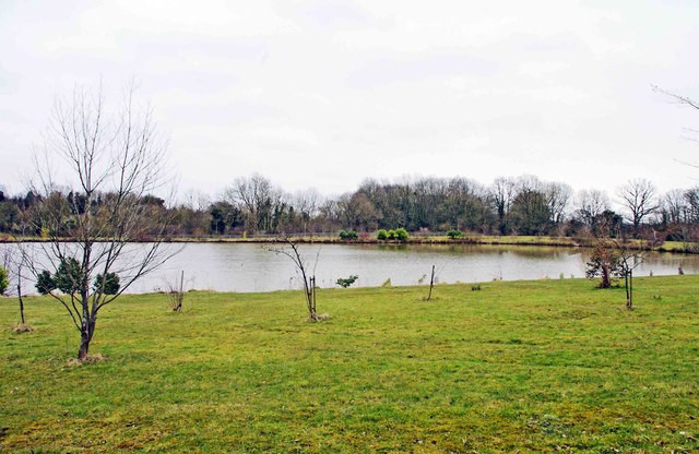
The woodland is primarily composed of deciduous trees such as oak, ash, and beech, creating a diverse ecosystem that supports a wide range of flora and fauna. The dense canopy provides shade during the summer months, making it a pleasant spot for picnics and leisurely walks.
Jubilee Coppice is traversed by a network of well-maintained footpaths, offering visitors the opportunity to explore the woodland at their own pace. These paths lead to various points of interest, including small streams and ponds, which add to the overall beauty and charm of the area.
Wildlife enthusiasts will be delighted by the abundance of animals that call Jubilee Coppice their home. The woodland provides a habitat for many species, including deer, foxes, rabbits, and a variety of birds. This makes it a haven for birdwatchers and photographers, who can catch glimpses of rare and migratory species in their natural habitat.
Visitors to Jubilee Coppice can also enjoy the recreational activities available in the area. There are designated areas for camping and barbecues, allowing families and friends to spend quality time together in a serene environment. Additionally, the woodland is a popular spot for educational trips and school outings, as it offers a hands-on experience in nature and the opportunity to learn about the importance of conservation.
Overall, Jubilee Coppice is a delightful woodland area that offers a peaceful escape from the urban hustle and bustle. With its diverse wildlife, scenic beauty, and recreational activities, it is a must-visit destination for nature lovers and those seeking a rejuvenating experience in the heart of Worcestershire.
If you have any feedback on the listing, please let us know in the comments section below.
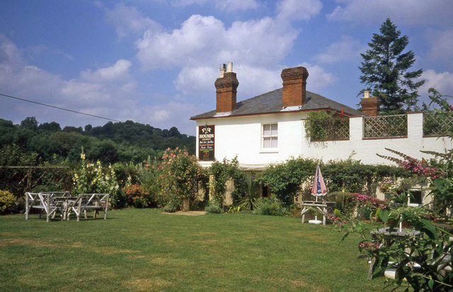
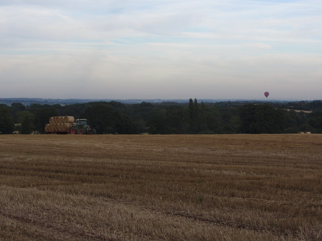
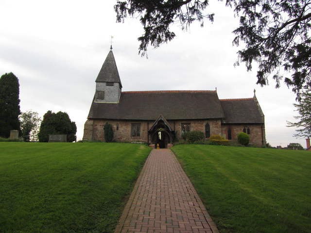
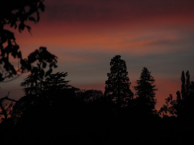
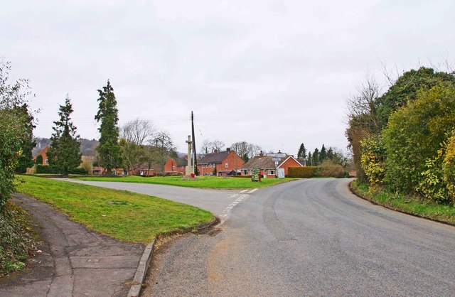
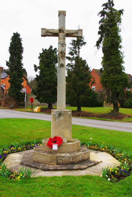
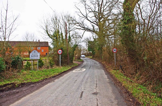
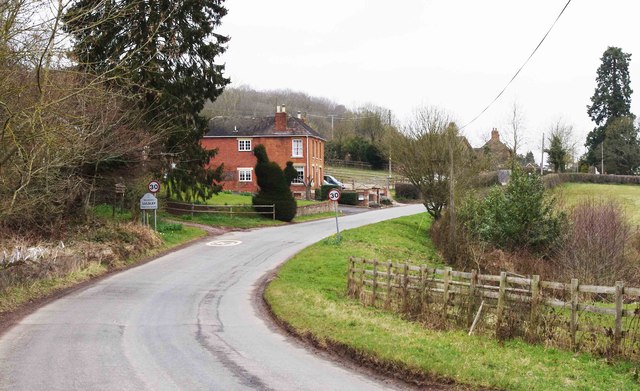
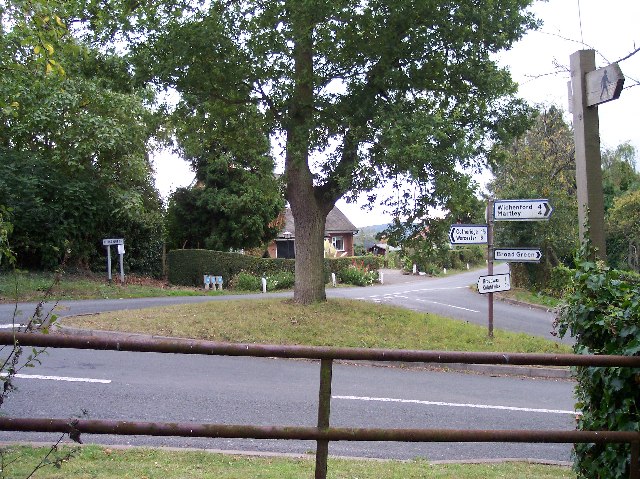
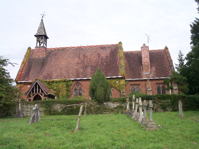
Jubilee Coppice Images
Images are sourced within 2km of 52.176911/-2.3686071 or Grid Reference SO7453. Thanks to Geograph Open Source API. All images are credited.


Jubilee Coppice is located at Grid Ref: SO7453 (Lat: 52.176911, Lng: -2.3686071)
Administrative County: Worcestershire
District: Malvern Hills
Police Authority: West Mercia
What 3 Words
///working.package.culling. Near Evesbatch, Herefordshire
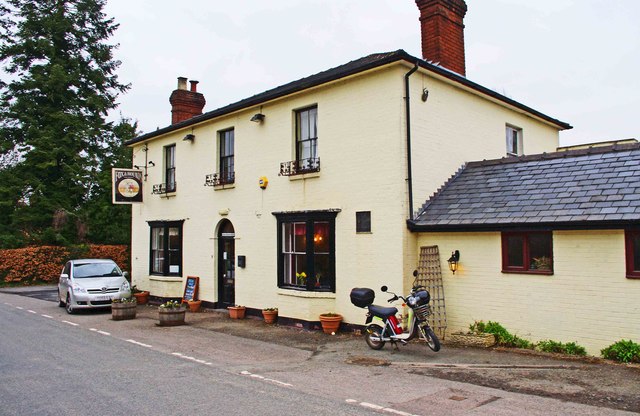
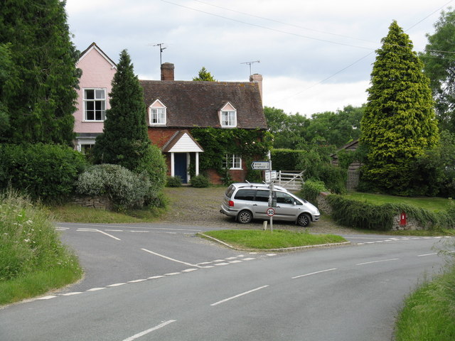
Nearby Locations
Related Wikis
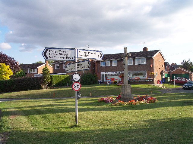
Alfrick
Alfrick is a village and civil parish in the Malvern Hills district of Worcestershire, England, about seven miles west of Worcester. == Amenities == The...
Alfrick Pound
Alfrick Pound is a small village in the county of Worcestershire, England, in the United Kingdom. == Location == Alfrick Pound village is located on the...

Malvern Hills District
Malvern Hills is a local government district in Worcestershire, England. Its council is based in the town of Malvern, and its area covers most of the western...

Knightwick railway station
Knightwick railway station was a station in Knightwick, Worcestershire, England. The station was opened on 2 May 1874 and closed on 7 September 1964....
Broadwas
Broadwas, or Broadwas-on-Teme, is a village and civil parish (with Cotheridge) in the Malvern Hills district of Worcestershire, England. According to...
Lulsley
Lulsley is a village and civil parish in the Malvern Hills District of the county of Worcestershire, England, UK. == History == Lulsley was in the upper...

Osebury Rock
Osebury Rock (also known as Oseberrow or Rosebury) is a cliff on the River Teme near Lulsley in Worcestershire, England where fragmentary rocks of the...
Suckley railway station
Suckley railway station was a station in Suckley, Worcestershire, England. The station was opened on 1 March 1878 and closed on 7 September 1964. ��2...
Nearby Amenities
Located within 500m of 52.176911,-2.3686071Have you been to Jubilee Coppice?
Leave your review of Jubilee Coppice below (or comments, questions and feedback).