Norway Plantation
Wood, Forest in Somerset
England
Norway Plantation
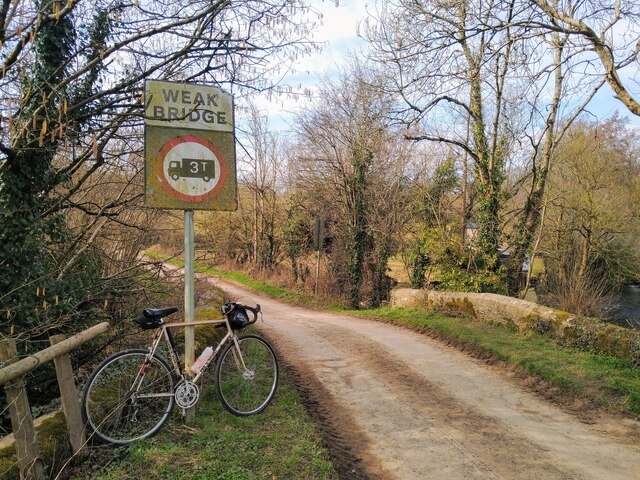
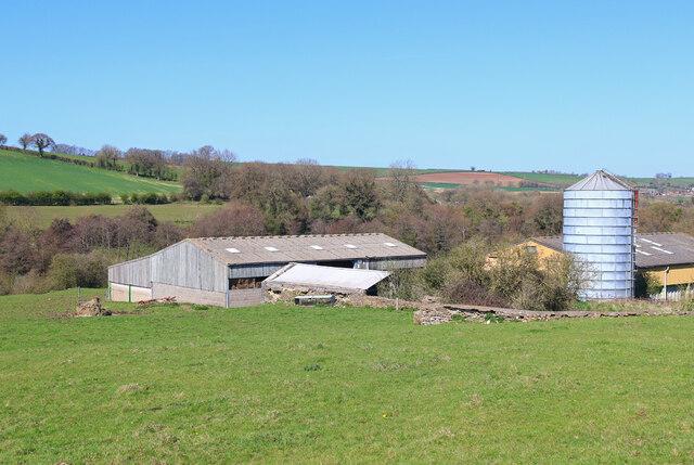
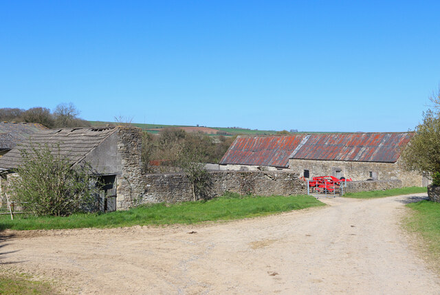
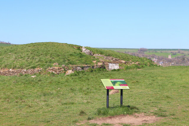
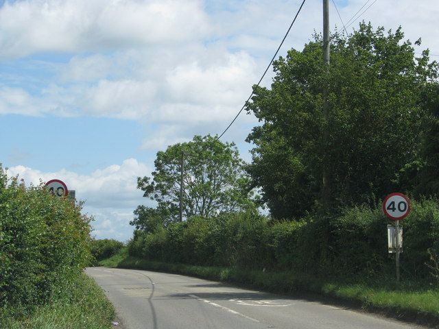
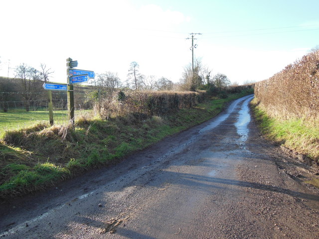
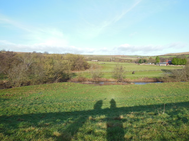
Norway Plantation is a picturesque woodland area located in Somerset, England. Covering a vast area, this plantation is known for its dense growth of Norway spruce trees, which give it its unique name. The plantation is a popular destination for nature enthusiasts, hikers, and photographers due to its scenic beauty and tranquil atmosphere.
The Norway spruce trees dominate the landscape, standing tall and proud with their dark green needles and pyramid-shaped crowns. These trees were originally planted in the mid-19th century and have flourished in this region due to the favorable climate and soil conditions. The plantation is carefully managed to ensure the health and sustainability of the trees, with regular thinning and replanting activities.
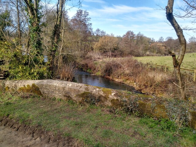
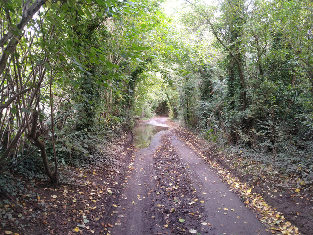
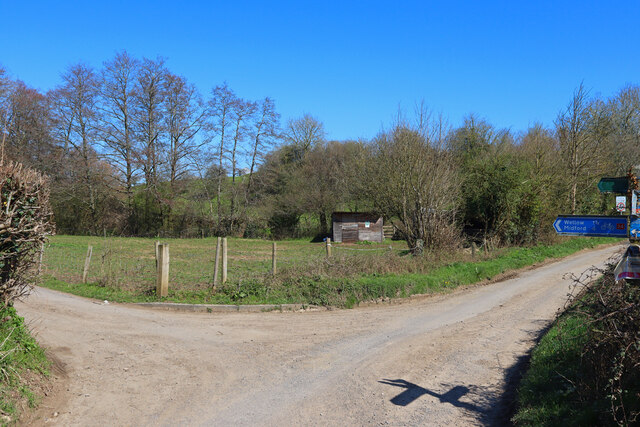
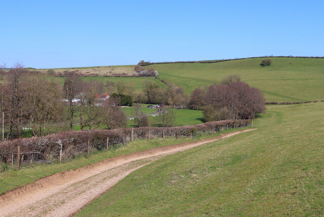
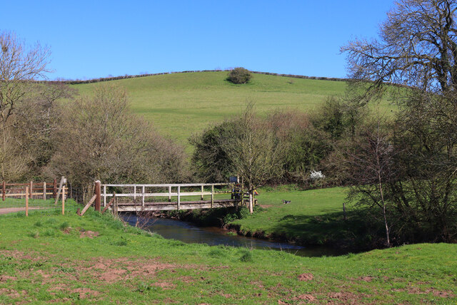
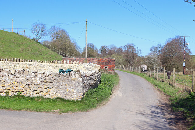
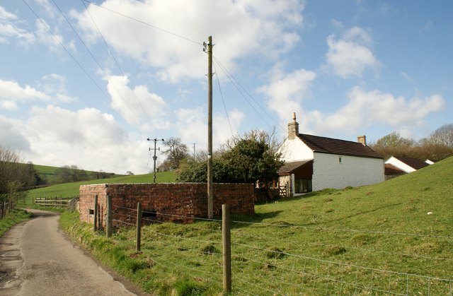
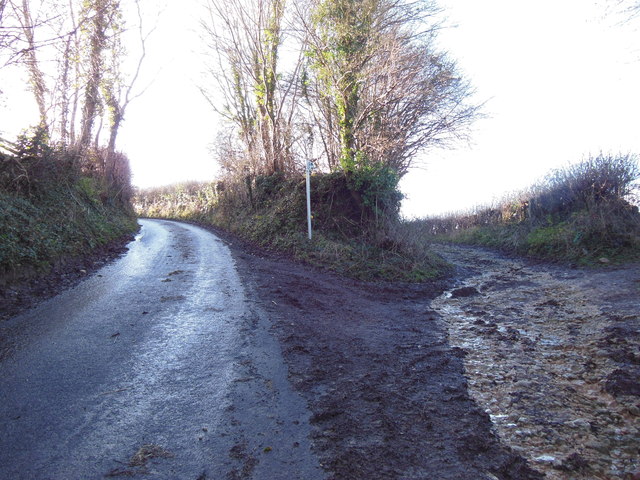
The woodland is crisscrossed by a network of well-maintained trails, allowing visitors to explore the area at their leisure. These trails take visitors through a diverse range of habitats, including open glades, shady groves, and small ponds. The plantation is also home to a variety of wildlife, including deer, foxes, and a wide array of bird species, making it an ideal spot for birdwatching.
The peaceful ambiance of the Norway Plantation makes it a favored location for picnics and leisurely walks. The plantation is open to the public year-round, offering visitors a chance to experience the changing seasons and the beauty they bring to this natural haven. Whether it's the vibrant colors of autumn or the tranquil silence of a winter's day, Norway Plantation offers a serene escape from the bustle of everyday life.
If you have any feedback on the listing, please let us know in the comments section below.
Norway Plantation Images
Images are sourced within 2km of 51.302806/-2.3642972 or Grid Reference ST7456. Thanks to Geograph Open Source API. All images are credited.
Norway Plantation is located at Grid Ref: ST7456 (Lat: 51.302806, Lng: -2.3642972)
Unitary Authority: Bath and North East Somerset
Police Authority: Avon and Somerset
What 3 Words
///ratty.youthful.submitted. Near Wellow, Somerset
Nearby Locations
Related Wikis

Stoney Littleton Long Barrow
The Stoney Littleton Long Barrow (also known as the Bath Tumulus and the Wellow Tumulus) is a Neolithic chambered tomb with multiple burial chambers, located...

Cleaves Wood
Cleaves Wood (grid reference ST758576) is a 40.38 hectare biological Site of Special Scientific Interest (SSSI) near the village of Wellow in Bath and...

Hinton Charterhouse Field
Hinton Charterhouse Field (grid reference ST764574) is a 0.32 hectare biological Site of Special Scientific Interest (SSSI) near the village of Hinton...

Norton Brook
Norton Brook is a small stream in Somerset, United Kingdom. The stream is a tributary of Wellow Brook. The body of water is located near Norton St Philip...

Wellow (Somerset) railway station
Wellow railway station was a station on the Somerset and Dorset Joint Railway at Wellow in the county of Somerset in England. Opened on 20 July 1874, the...

Hinton Hill, Wellow
Hinton Hill, Wellow (grid reference ST757582) is a 0.25 hectare geological Site of Special Scientific Interest (SSSI) near the village of Wellow in Somerset...

Wellow, Somerset
Wellow is a village and civil parish in Somerset, England, about 5 miles (8.0 km) south of Bath. The parish, which includes the hamlets of Twinhoe, White...
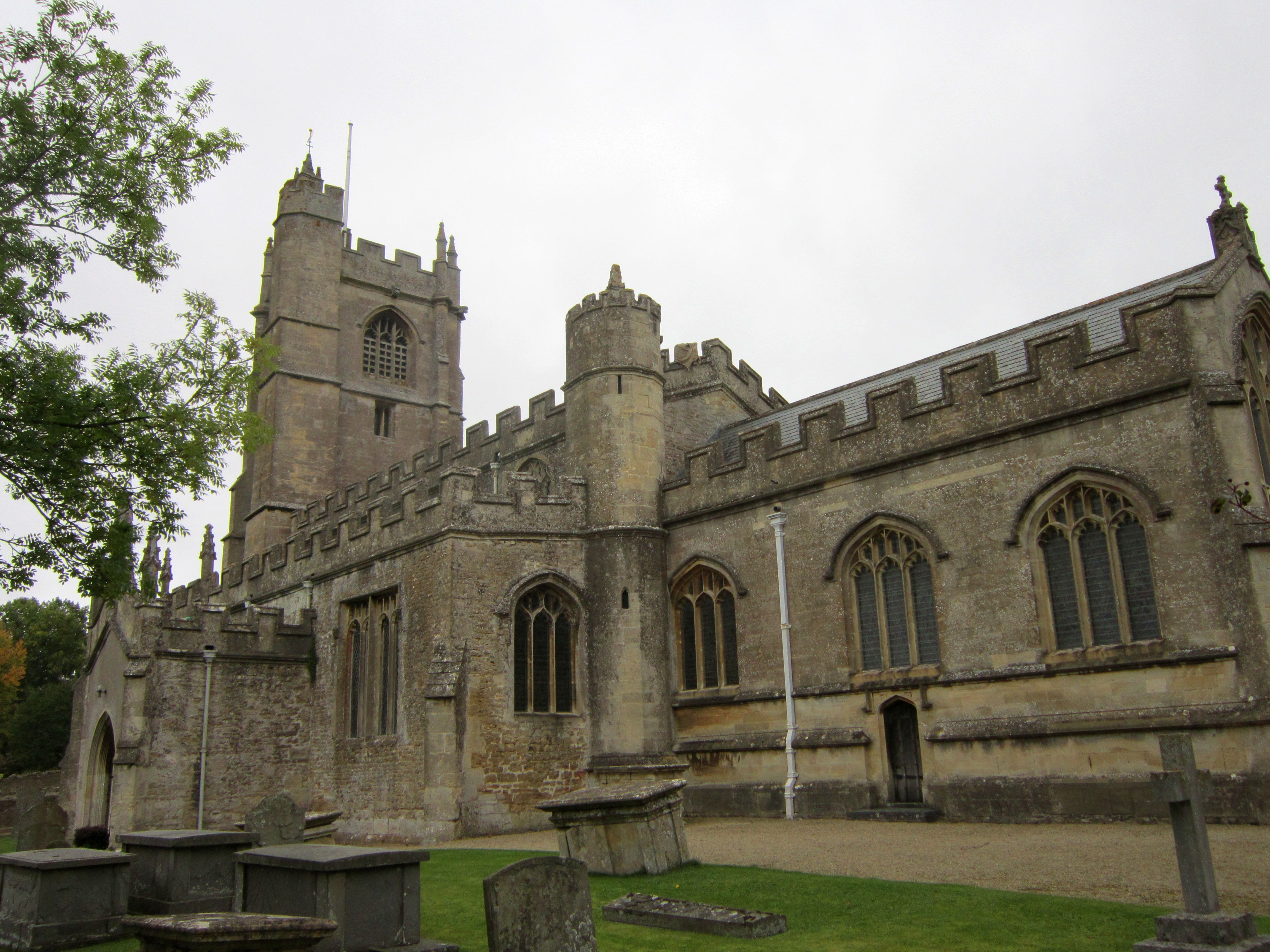
Church of St Julian, Wellow
The Church of St Julian in Wellow, Somerset, England has origins before the 12th century although the present building dates from 1372. It has been designated...
Nearby Amenities
Located within 500m of 51.302806,-2.3642972Have you been to Norway Plantation?
Leave your review of Norway Plantation below (or comments, questions and feedback).