Coronation Wood
Wood, Forest in Westmorland Eden
England
Coronation Wood

Coronation Wood is a charming forested area located in the district of Westmorland, Cumbria, in northwest England. Covering an expansive area, this wood is a haven for nature enthusiasts and those seeking tranquility amidst a picturesque landscape.
The wood gets its name from the coronation of King George VI in 1937 when a group of local residents decided to commemorate the event by planting a variety of trees. Today, Coronation Wood boasts a diverse range of tree species, including oak, beech, and birch, which provide an enchanting canopy and offer a home to a rich array of wildlife.
Visitors to Coronation Wood can explore its well-maintained trails, which meander through the woodland, allowing them to immerse themselves in the natural beauty of the surroundings. The area is particularly popular with walkers and hikers, offering a peaceful escape from the hustle and bustle of everyday life.
The wood also features a picnic area, providing a perfect spot for families and friends to enjoy a leisurely lunch surrounded by the sights and sounds of nature. Additionally, there is a small pond within the wood, attracting various species of birds and creating a serene atmosphere.
Coronation Wood is easily accessible, with ample parking available nearby. It is a cherished local gem, enjoyed by both residents and visitors alike, offering a peaceful retreat and a chance to connect with nature in the heart of Westmorland.
If you have any feedback on the listing, please let us know in the comments section below.
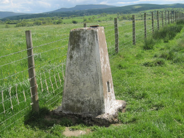
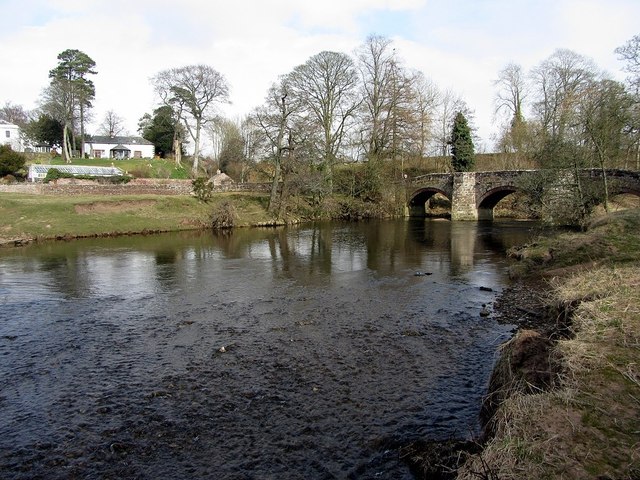
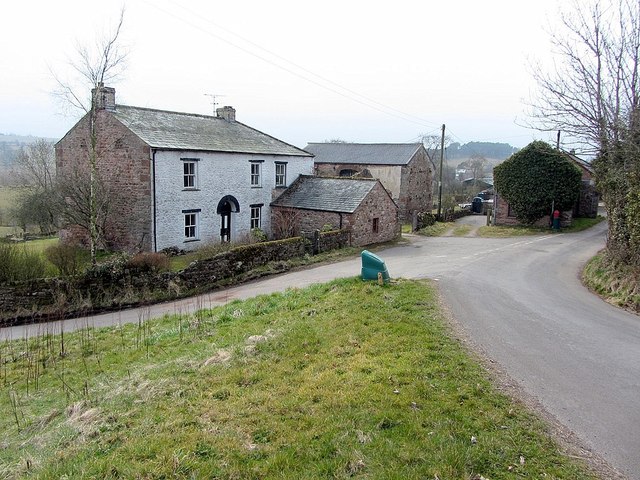
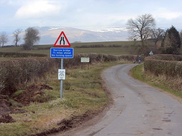
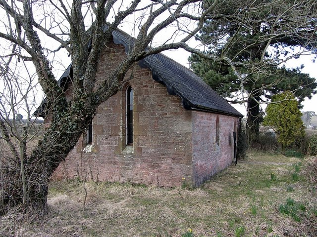
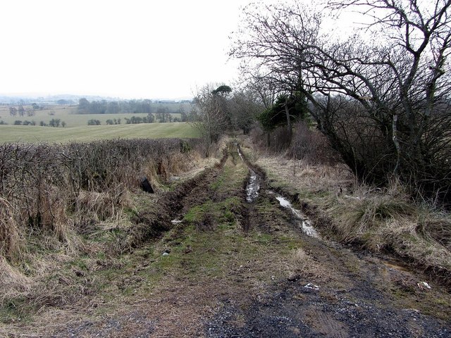
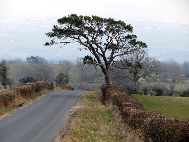
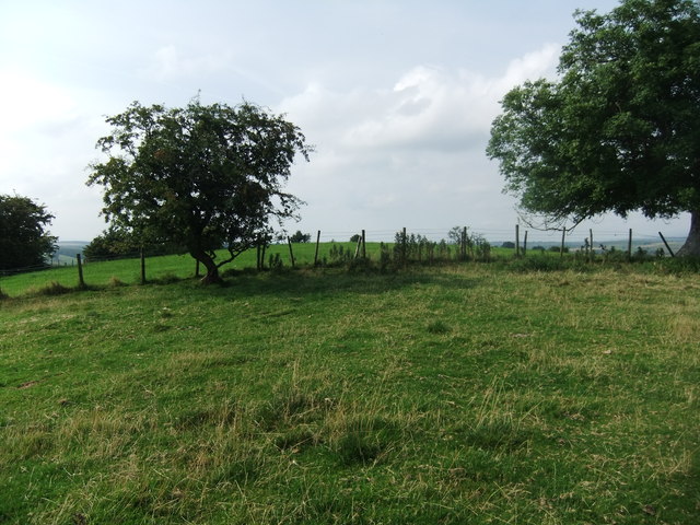
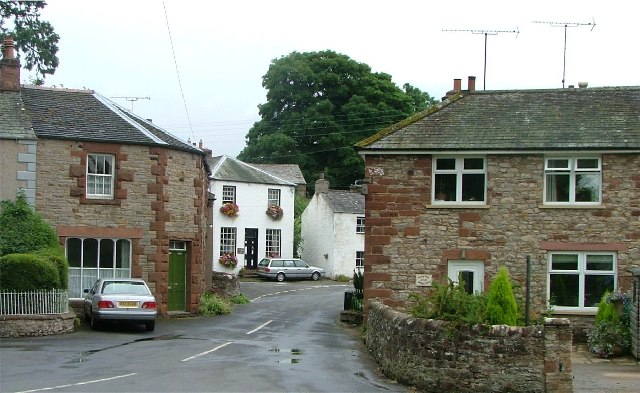
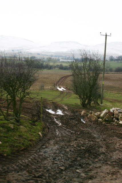
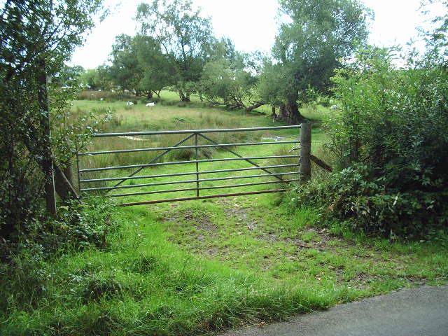
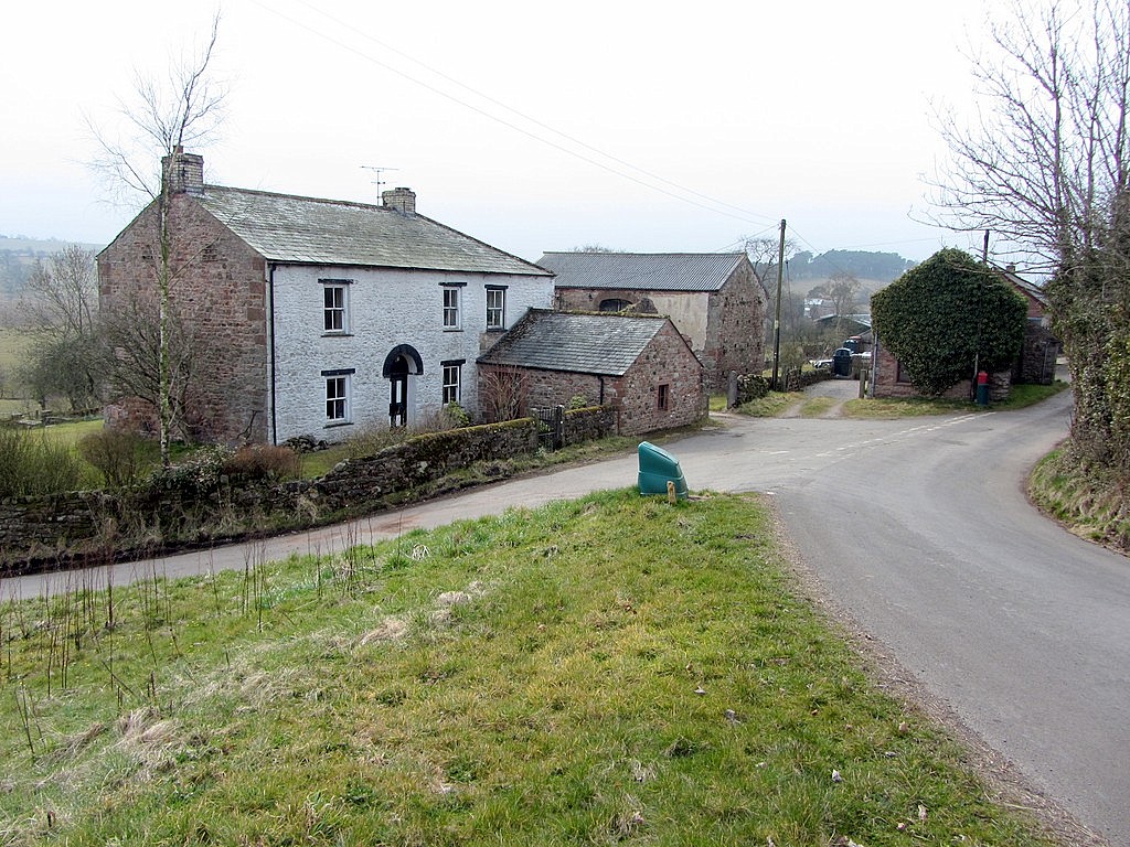
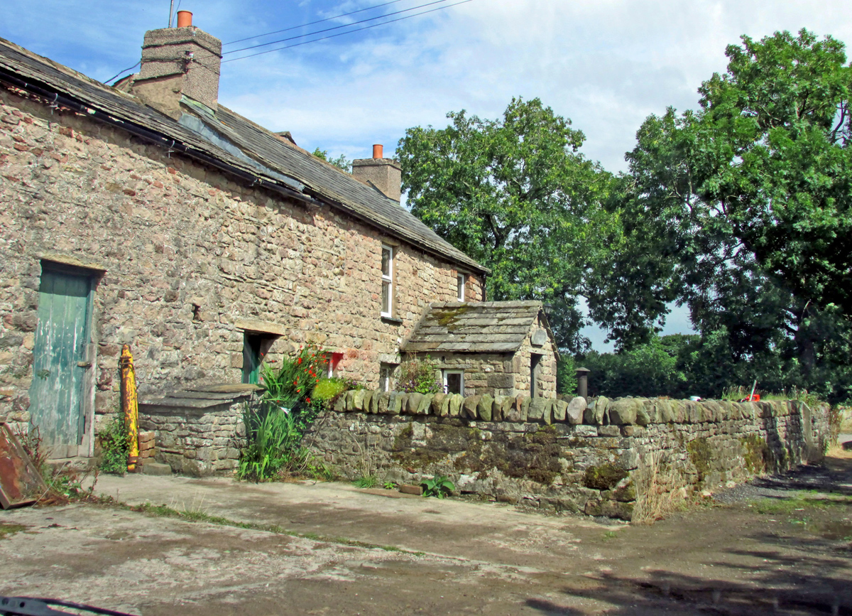
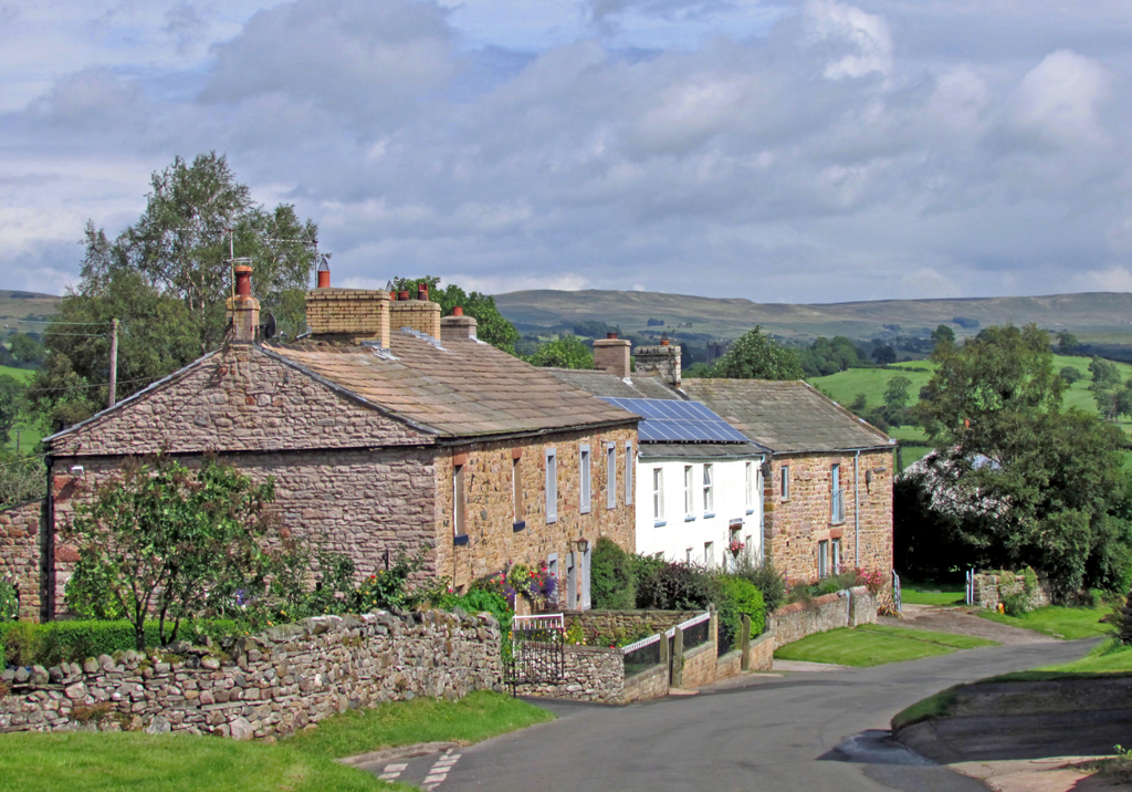
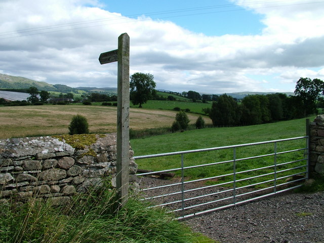
Coronation Wood Images
Images are sourced within 2km of 54.517249/-2.3923452 or Grid Reference NY7413. Thanks to Geograph Open Source API. All images are credited.


Coronation Wood is located at Grid Ref: NY7413 (Lat: 54.517249, Lng: -2.3923452)
Administrative County: Cumbria
District: Eden
Police Authority: Cumbria
What 3 Words
///atoms.cobbles.cheetahs. Near Kirkby Stephen, Cumbria
Nearby Locations
Related Wikis
Bleatarn
Bleatarn is a hamlet in Cumbria, England. It is located 3.3 miles (5.3 km) by road to the northwest of Soulby. == See also == List of places in Cumbria...
Little Musgrave
Little Musgrave is a small village and former civil parish, now in the parish of Musgrave, in the Eden district of Cumbria, England. In 1891 the parish...

Musgrave, Cumbria
Musgrave is a civil parish in the Eden District of Cumbria, England. It has a population of 152, and contains the villages of Little Musgrave and Great...

Musgrave railway station
Musgrave railway station was a railway station situated on the Eden Valley Railway and located between Penrith and Kirkby Stephen East, England. ��2�...
East Westmorland Rural District
East Westmorland was the name of a rural district in the administrative county of Westmorland from 1894 to 1935. The district was created by the Local...
Great Musgrave
Great Musgrave is a village and former civil parish, now in the parish of Musgrave, in the Eden district of Cumbria, England. It is about a mile west of...
Flitholme
Flitholme is a hamlet in the parish of Musgrave, in the Eden District, in the English county of Cumbria. == Location == It is located on an unclassified...
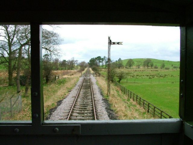
Eden Valley Railway (heritage railway)
The Eden Valley Railway (EVR) is a standard gauge heritage railway in Cumbria, England. It runs over a 2.2 miles (3.5 km) section of the original Eden...
Nearby Amenities
Located within 500m of 54.517249,-2.3923452Have you been to Coronation Wood?
Leave your review of Coronation Wood below (or comments, questions and feedback).