Halstead Wood

Wood, Forest in Yorkshire Ribble Valley

England

Halstead Wood

The northern marches of Gisburn Forest The most recently planted part of Gisburn Forest is also the most northerly and forms an isolated outpost not visited by the main mountain bike trails. The Keasden road descends to it over Crutchenber Fell, passing through it to reach the more mature and popular sections around Stocks reservoir.
The northern marches of Gisburn Forest Credit: Andy Waddington

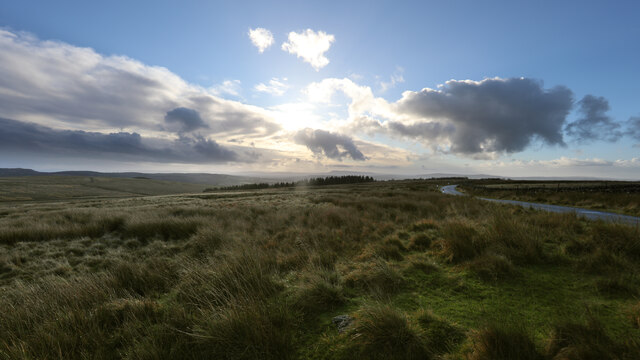
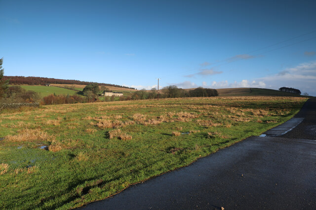
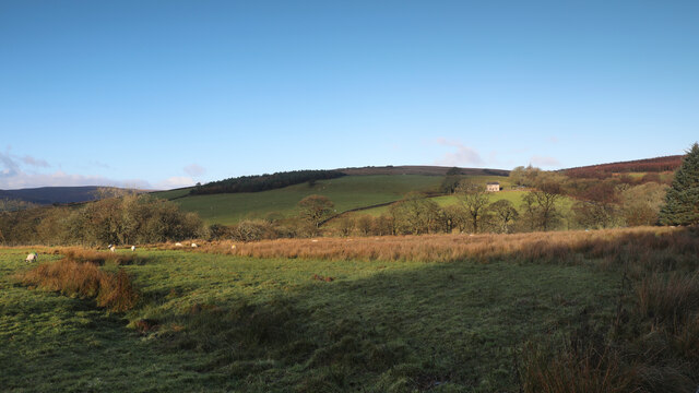
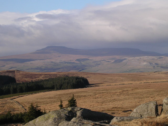
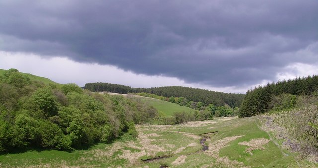
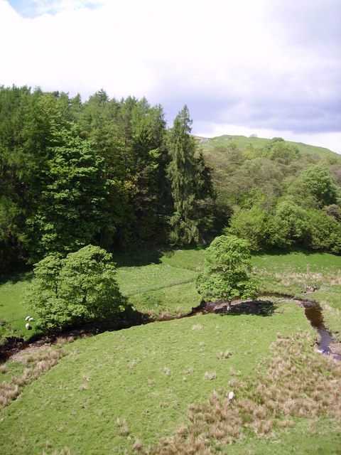
Halstead Wood, located in Yorkshire, is a picturesque forest known for its natural beauty and tranquility. Spanning over a vast area, the wood is home to a diverse range of flora and fauna, making it an ideal destination for nature enthusiasts and wildlife lovers.

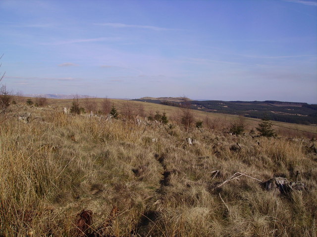
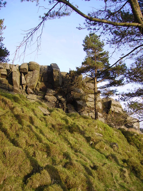
The wood boasts a dense canopy of trees, primarily consisting of oak, beech, and pine, which create a mesmerizing play of light and shadows on the forest floor. These majestic trees provide ample shade and shelter, creating a cool and inviting atmosphere even during hot summer days.

The forest floor is adorned with a vibrant carpet of wildflowers, including bluebells, primroses, and foxgloves, adding bursts of color to the woodland scenery. The delicate fragrance of these flowers fills the air, creating a sensory experience that is both calming and invigorating.

Halstead Wood is also home to a plethora of wildlife. Visitors may spot native animals such as deer, foxes, badgers, and a variety of bird species, including woodpeckers, owls, and thrushes. The wood provides a safe haven for these creatures, allowing them to thrive and coexist in harmony with nature.

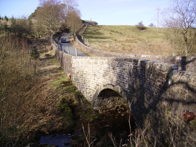
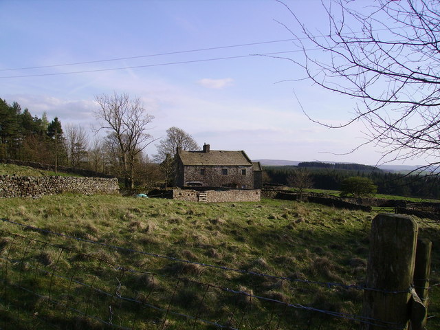
For outdoor enthusiasts, Halstead Wood offers a network of well-maintained walking trails, allowing visitors to explore the area at their own pace. These trails wind through the forest, offering glimpses of hidden glades, babbling brooks, and secluded ponds, allowing visitors to immerse themselves in the natural beauty of the wood.

In summary, Halstead Wood in Yorkshire is a haven of tranquility and natural beauty, offering visitors the chance to escape the hustle and bustle of everyday life and immerse themselves in the enchanting world of the forest.

If you have any feedback on the listing, please let us know in the comments section below.

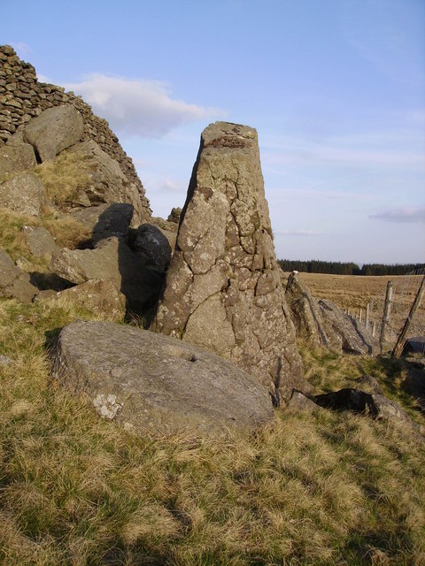
Halstead Wood Images

Images are sourced within 2km of 54.027545/-2.3879319 or Grid Reference SD7459. Thanks to Geograph Open Source API. All images are credited.

The northern marches of Gisburn Forest The most recently planted part of Gisburn Forest is also the most northerly and forms an isolated outpost not visited by the main mountain bike trails. The Keasden road descends to it over Crutchenber Fell, passing through it to reach the more mature and popular sections around Stocks reservoir.
The northern marches of Gisburn Forest
The most recently planted part of Gisburn Forest is also the most northerly and forms an isolated outpost not visited by the main mountain bike trails. The Keasden road descends to it over Crutchenber Fell, passing through it to reach the more mature and popular sections around Stocks reservoir.
Looking over Coat Rakes to Dale House Dale House is just by the road north from Gisburn Forest towards Clapham in the Yorkshire Dales. The track here goes to Halsteads Farm, whilst a rougher track to the right goes to Cocklick End, not a place to mention in social media posts, as an AI is likely to take exception...
Looking over Coat Rakes to Dale House
Dale House is just by the road north from Gisburn Forest towards Clapham in the Yorkshire Dales. The track here goes to Halsteads Farm, whilst a rougher track to the right goes to Cocklick End, not a place to mention in social media posts, as an AI is likely to take exception...
Higher Clough On the west side of the Keasden road, land rises to Green Pike above Higher Clough (the farmhouse in the sun). The moor on the far horizon is CROW Access Land, but most of what is visible in this view has no public access.
Higher Clough
On the west side of the Keasden road, land rises to Green Pike above Higher Clough (the farmhouse in the sun). The moor on the far horizon is CROW Access Land, but most of what is visible in this view has no public access.
Hesbert Hall The forest track runs alongside a seriously thistle-infested field at Hesbert Hall with the extensive Gisburn Forest surrounding it - a few colouring larches, but mostly evergreen non-native conifers (Sitka spruce, Picea sitchensis, being the majority).
Hesbert Hall
The forest track runs alongside a seriously thistle-infested field at Hesbert Hall with the extensive Gisburn Forest surrounding it - a few colouring larches, but mostly evergreen non-native conifers (Sitka spruce, Picea sitchensis, being the majority).
Footpath to White Hill House A small car park on a corner of School Lane (room for four cars, maybe five if carefully packed) serves this rather wet and muddy footpath heading into Gisburn Forest. The forest is popular with off-road cyclists, but this trail is one of those explicitly signed with a cycling prohibition which suited me fine - I wanted a nice wide track, thanks, and headed a little further south for my ride.
Footpath to White Hill House
A small car park on a corner of School Lane (room for four cars, maybe five if carefully packed) serves this rather wet and muddy footpath heading into Gisburn Forest. The forest is popular with off-road cyclists, but this trail is one of those explicitly signed with a cycling prohibition which suited me fine - I wanted a nice wide track, thanks, and headed a little further south for my ride.
View of Ingleborough from Whelp Stone Crag From the Millstone Grit south of the Craven fault to the  Carboniferous Limestone to the north. Fell Beck can just be made out terminating in Gaping Gill.
View of Ingleborough from Whelp Stone Crag
From the Millstone Grit south of the Craven fault to the Carboniferous Limestone to the north. Fell Beck can just be made out terminating in Gaping Gill.
Crutchenber Fell Looking towards Gisburn Forest
Crutchenber Fell
Looking towards Gisburn Forest
Coat Rakes Bridge On Hasgill Beck
Coat Rakes Bridge
On Hasgill Beck
Wall Arch The old walls are now redundant in Gisburn Forest this one gracefully crosses a feeder of Bottoms Beck.
Wall Arch
The old walls are now redundant in Gisburn Forest this one gracefully crosses a feeder of Bottoms Beck.
Hesbert Hall Grand title for a small farm now in the midst of Gisburn Forest
Hesbert Hall
Grand title for a small farm now in the midst of Gisburn Forest
Gisburn Forest Claimed to be the biggest in Lancashire. The Barn at Geldard Laithe in view in the centre of the picture is engulfed by trees.
Gisburn Forest
Claimed to be the biggest in Lancashire. The Barn at Geldard Laithe in view in the centre of the picture is engulfed by trees.
Whelp Stone Crag The Crags are a welcome surprise after you have struggled through thick plantations of Gisburn Forest
Whelp Stone Crag
The Crags are a welcome surprise after you have struggled through thick plantations of Gisburn Forest
Millstone Whelp Stone Crag Not the first abandoned millstone I have encountered in Bowland. Looks like it fell off the natural Trig Point shaped rock behind it. Perhaps it's a message saying 'Finding vacant squares to photo is becoming a bit of a millstone....'
Millstone Whelp Stone Crag
Not the first abandoned millstone I have encountered in Bowland. Looks like it fell off the natural Trig Point shaped rock behind it. Perhaps it's a message saying 'Finding vacant squares to photo is becoming a bit of a millstone....'
Holden Moor Flat unplanted patch just south of Whelp Stone Crag. An eastern spur of Gisburn Forest on't skyline.
Holden Moor
Flat unplanted patch just south of Whelp Stone Crag. An eastern spur of Gisburn Forest on't skyline.
Descent to Bottoms Down through Gisburn Forest to a little strath called Bottoms. Stooping very low now to add that Cocklick End is in the next square and Tosside is the nearest village.
Descent to Bottoms
Down through Gisburn Forest to a little strath called Bottoms. Stooping very low now to add that Cocklick End is in the next square and Tosside is the nearest village.
Dob Beck Dob Dale runs along Gisburn Forest Edge at this point before cutting into the Forest on the right. Typical Bank Holiday cloud overhead.
Dob Beck
Dob Dale runs along Gisburn Forest Edge at this point before cutting into the Forest on the right. Typical Bank Holiday cloud overhead.
Sheep and Lambs at Bottoms The sheep in the middle of the picture was a few minutes earlier bungee jumping around on the end of two pine branches which it had become entangled on with its lamb bleating mournfully. I spent 10 minutes disentangling it then watched the joyful reunion. Ahh... another successful Geograph rescue.
Sheep and Lambs at Bottoms
The sheep in the middle of the picture was a few minutes earlier bungee jumping around on the end of two pine branches which it had become entangled on with its lamb bleating mournfully. I spent 10 minutes disentangling it then watched the joyful reunion. Ahh... another successful Geograph rescue.
Dob Dale Beck Soon to become Bottoms Beck Gisburn Forest
Dob Dale Beck
Soon to become Bottoms Beck Gisburn Forest
Show me another place!

Halstead Wood is located at Grid Ref: SD7459 (Lat: 54.027545, Lng: -2.3879319)

Division: West Riding

Administrative County: Lancashire

District: Ribble Valley

Police Authority: Lancashire

What 3 Words

///masks.walkway.mentions. Near Settle, North Yorkshire

Related Wikis

Easington, Lancashire

Easington () is a civil parish within the Ribble Valley district of Lancashire, England, with a population in 2001 of 52. The Census 2011 population details...

Tosside

Tosside is a small village on the modern border of North Yorkshire and Lancashire in Northern England. It lies within the Forest of Bowland, and is between...

Stocks Reservoir

Stocks Reservoir is a reservoir situated at the head of the Hodder valley in the Forest of Bowland, Lancashire, England (historically in the West Riding...

Gisburn Forest

Gisburn Forest is a civil parish in the Ribble Valley, in Lancashire, England. Mainly lying within the Forest of Bowland Area of Outstanding Natural Beauty...

Nearby Amenities

Located within 500m of 54.027545,-2.3879319
Power: pole
Transformer: yes
Lat/Long: 54.0279715/-2.3950715
How Hill
Place: locality
Lat/Long: 54.0309696/-2.3898815
The data included in this document is from www.openstreetmap.org. The data is made available under ODbL.

Have you been to Halstead Wood?

Leave your review of Halstead Wood below (or comments, questions and feedback).