Coneygore Coppice
Wood, Forest in Worcestershire Malvern Hills
England
Coneygore Coppice
Coneygore Coppice is a picturesque woodland area located in Worcestershire, England. Covering an area of approximately 50 acres, it is situated on the outskirts of the small village of Coneygore. The coppice is known for its dense tree coverage and diverse range of flora and fauna.
The woodland is primarily composed of broadleaf trees, including oak, beech, and birch, creating a rich and vibrant canopy that provides shade and shelter for various animal species. The forest floor is covered in a thick layer of leaf litter, creating a natural habitat for small mammals, insects, and fungi.
Coneygore Coppice is a popular destination for nature enthusiasts, hikers, and birdwatchers. The woodland is home to a variety of bird species, including woodpeckers, thrushes, and owls, making it an ideal spot for birdwatching. Visitors can also spot other wildlife, such as badgers, foxes, and deer, as they roam freely through the forest.
The coppice offers several walking trails and footpaths, allowing visitors to explore the woodland's beauty at their leisure. These pathways wind through the trees, providing stunning views of the surrounding countryside and glimpses of wildflowers and plants that thrive in the woodland's damp and fertile soil.
Overall, Coneygore Coppice is a tranquil and biodiverse woodland that offers a peaceful escape from the hustle and bustle of everyday life. Its natural beauty and abundance of wildlife make it a must-visit destination for nature lovers and those seeking a connection with the great outdoors.
If you have any feedback on the listing, please let us know in the comments section below.
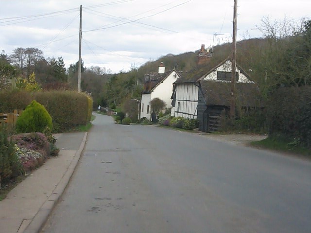
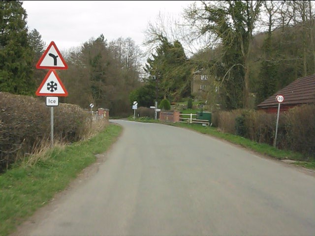
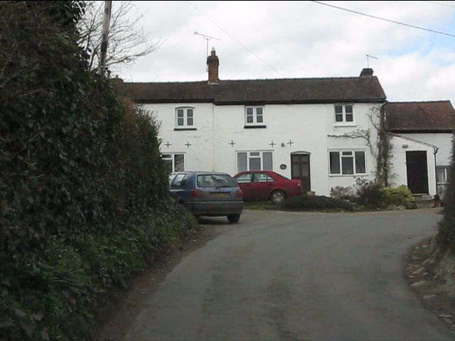
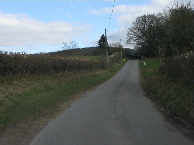
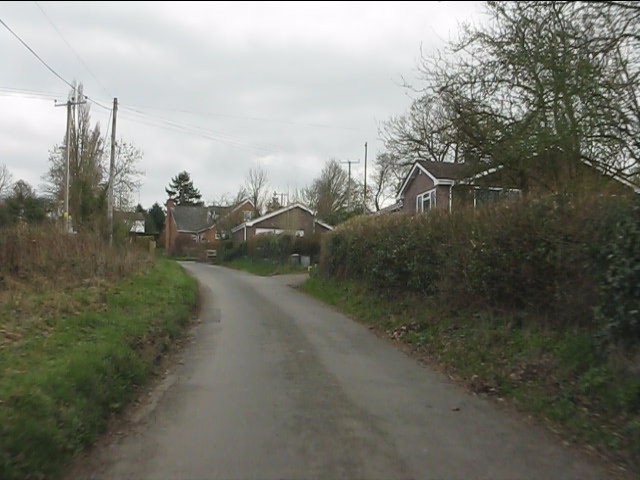
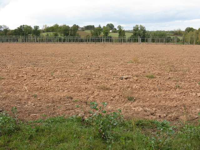
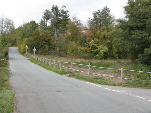
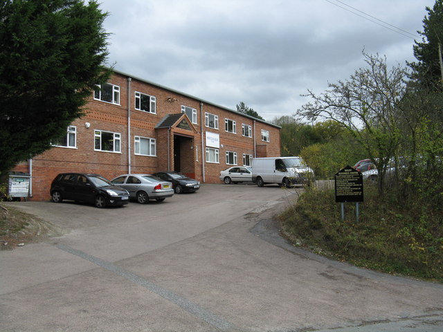
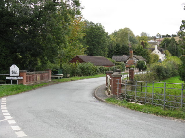
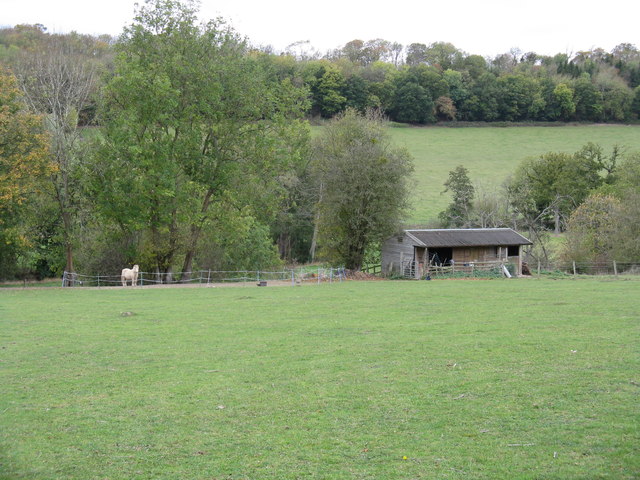
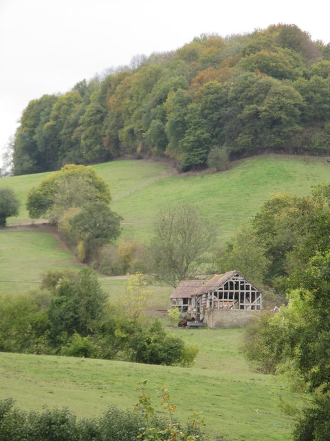
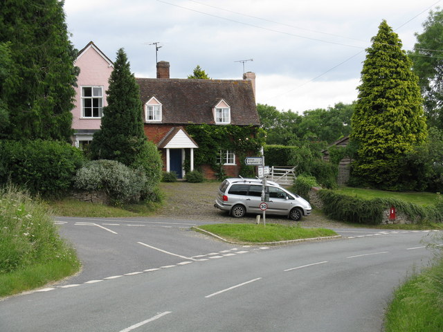
Coneygore Coppice Images
Images are sourced within 2km of 52.156817/-2.374171 or Grid Reference SO7451. Thanks to Geograph Open Source API. All images are credited.


Coneygore Coppice is located at Grid Ref: SO7451 (Lat: 52.156817, Lng: -2.374171)
Administrative County: Worcestershire
District: Malvern Hills
Police Authority: West Mercia
What 3 Words
///unloads.reprints.indicate. Near Evesbatch, Herefordshire
Related Wikis
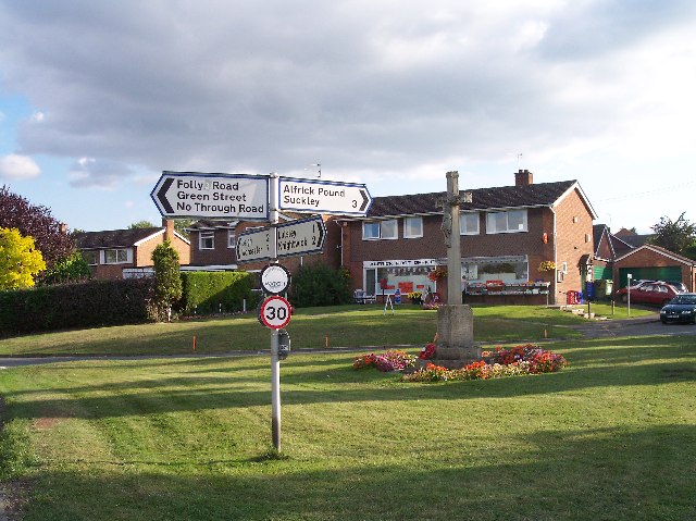
Alfrick Pound
Alfrick Pound is a small village in the county of Worcestershire, England, in the United Kingdom. == Location == Alfrick Pound village is located on the...
Alfrick
Alfrick is a village and civil parish in the Malvern Hills district of Worcestershire, England, about seven miles west of Worcester. == Amenities == The...

Crowcroft
Crowcroft is a small hamlet just outside Leigh Sinton in Worcestershire, England. The main industry for the area is fruit growing, particularly for local...
Suckley
Suckley is a village and civil parish in the Malvern Hills District in the county of Worcestershire, England, close to the border with Herefordshire....

Malvern Hills District
Malvern Hills is a local government district in Worcestershire, England. Its council is based in the town of Malvern, and its area covers most of the western...

Leigh Sinton
Leigh Sinton is a village in the Malvern Hills district of the county of Worcestershire, England, and one of the constituent places of the civil parish...
Radar Research and Development Establishment
The Radar Research and Development Establishment, RRDE for short, was a civilian research organization run by the United Kingdom's Ministry of Supply that...
Suckley railway station
Suckley railway station was a station in Suckley, Worcestershire, England. The station was opened on 1 March 1878 and closed on 7 September 1964. ��2...
Nearby Amenities
Located within 500m of 52.156817,-2.374171Have you been to Coneygore Coppice?
Leave your review of Coneygore Coppice below (or comments, questions and feedback).