Sheephill Coppice

Wood, Forest in Worcestershire Malvern Hills

England

Sheephill Coppice

Longley Green - view east from Suckley post office
Longley Green - view east from Suckley post office Credit: Peter Whatley

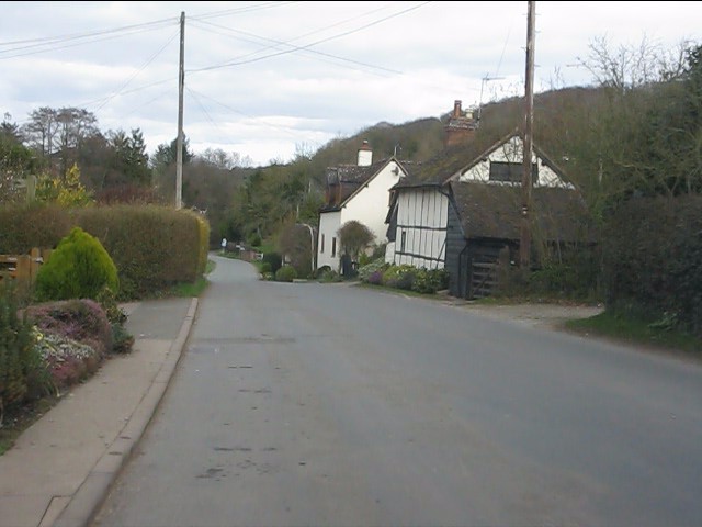
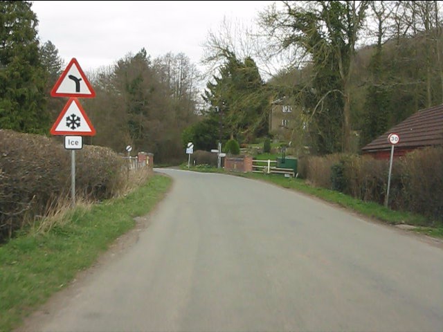
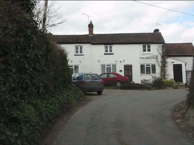
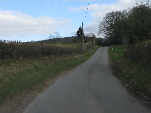
Sheephill Coppice is a beautiful woodland located in Worcestershire, England. Covering an area of approximately 20 acres, it is a prime example of a traditional coppiced woodland. The site is managed by the local forestry commission and is open to the public, attracting nature enthusiasts, hikers, and birdwatchers.

The coppice is predominantly composed of oak and ash trees, with a rich understory of hazel and holly. The trees are carefully managed through a process called coppicing, where certain trees are cut back to ground level to encourage new growth. This sustainable method of woodland management has been practiced for centuries and supports a diverse range of wildlife.

Walking through Sheephill Coppice, visitors can enjoy a tranquil atmosphere and immerse themselves in nature. The woodland floor is covered in a carpet of bluebells in the spring, creating a stunning display of color. The air is filled with the sweet scent of wildflowers, attracting a variety of butterflies and bees.

The woodland is also home to a multitude of bird species, including woodpeckers, nuthatches, and tawny owls. Birdwatchers can spot these feathered inhabitants perched on branches or flying overhead. Squirrels and deer can also be spotted in the coppice, adding to the wildlife diversity.

Sheephill Coppice offers several walking trails, ranging from gentle strolls to more challenging hikes. Information boards are placed throughout the woodland, providing educational insights into the history, flora, and fauna of the area.

In conclusion, Sheephill Coppice is a picturesque woodland in Worcestershire, offering visitors a chance to connect with nature, explore ancient woodland management practices, and observe a wide range of wildlife in their natural habitat.

If you have any feedback on the listing, please let us know in the comments section below.

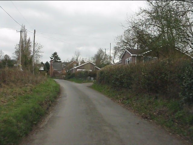
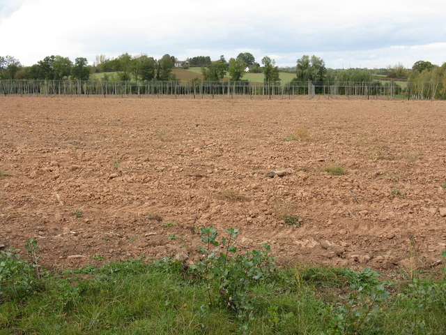
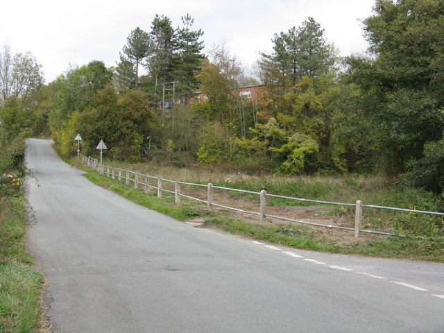
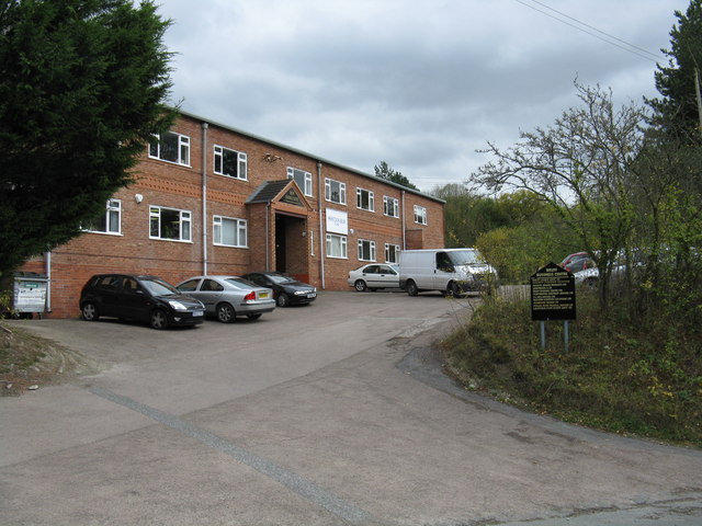
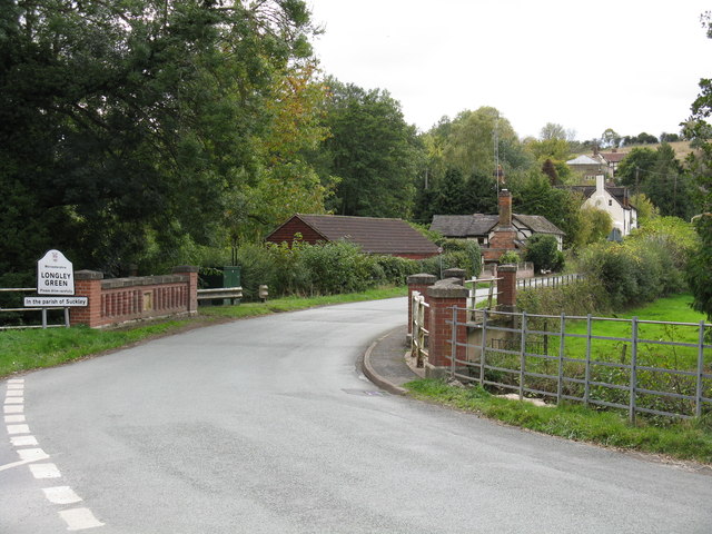
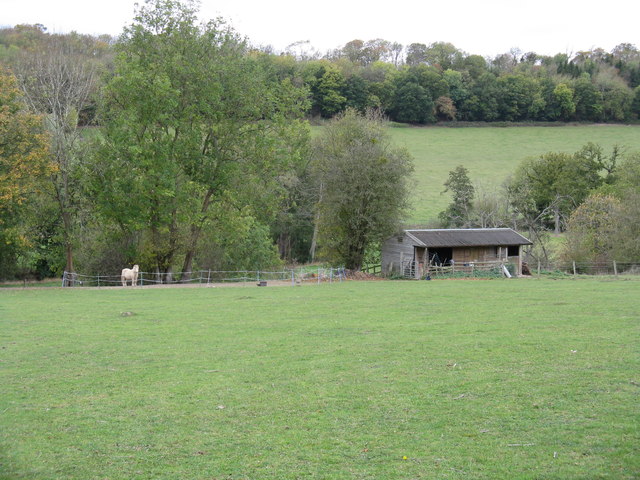
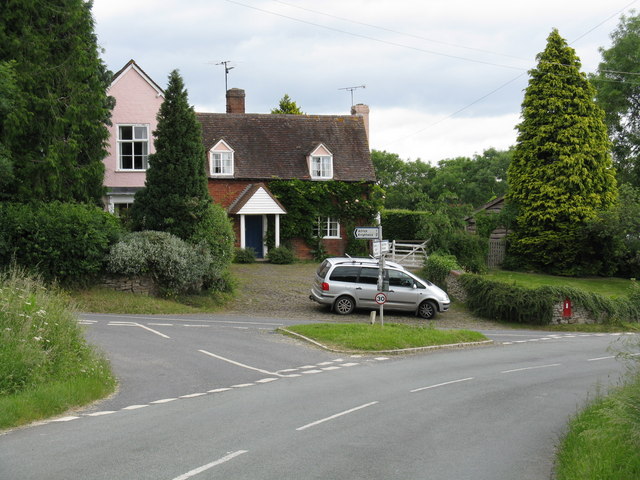
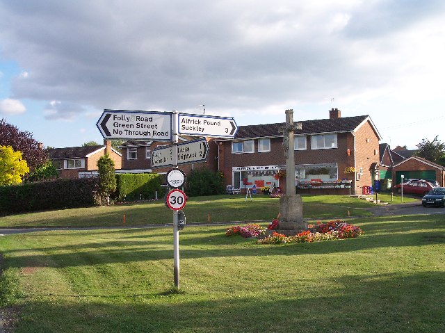
Sheephill Coppice Images

Images are sourced within 2km of 52.160455/-2.3781631 or Grid Reference SO7451. Thanks to Geograph Open Source API. All images are credited.

Longley Green - view east from Suckley post office
Longley Green - Batchelor's Bridge The building in the distance is Mosewick Farm, across the county boundary in Herefordshire.
Longley Green - Batchelor's Bridge
The building in the distance is Mosewick Farm, across the county boundary in Herefordshire.
Byways - a former pub Once a small pub frequented by farmworkers, the building has for many years been a private dwelling.
Byways - a former pub
Once a small pub frequented by farmworkers, the building has for many years been a private dwelling.
Birchwood Lane near Byways
Modern bungalows on Birchwood Lane
Looking north from near Byways Byways is a former pub on Birchwood Lane.  Lower Tundridge Farm's fields form much of the view.
Looking north from near Byways
Byways is a former pub on Birchwood Lane. Lower Tundridge Farm's fields form much of the view.
It's a pig's paradise Following on from Pigwig <a title="https://www.geograph.org.uk/photo/860570" href="https://www.geograph.org.uk/photo/860570">Link</a> a multitude of porkers now range on the hillside above Lower Tundridge Farm.  Delicious!
It's a pig's paradise
Following on from Pigwig Link a multitude of porkers now range on the hillside above Lower Tundridge Farm. Delicious!
A pair of dwellings in Longley Green Two identical dwellings side by side opposite The Nelson Inn.
A pair of dwellings in Longley Green
Two identical dwellings side by side opposite The Nelson Inn.
The new field entrance Planning regulations no longer permit direct access from fields onto a public highway.  New accesses such as this one opposite The Nelson Inn - constructed in 2011 - must provide a holding area off the highway for vehicles to stand while gates are opened or shut. The requirement applies irrespective of the cost involved, the loss of productive land or the volume of traffic on the highway: in this instance minimal.
The new field entrance
Planning regulations no longer permit direct access from fields onto a public highway. New accesses such as this one opposite The Nelson Inn - constructed in 2011 - must provide a holding area off the highway for vehicles to stand while gates are opened or shut. The requirement applies irrespective of the cost involved, the loss of productive land or the volume of traffic on the highway: in this instance minimal.
Triangular junction west of Longley Green The small shelter is primarily intended for pupils awaiting the school buses to Malvern's two secondary schools, though buses to Worcester and Malvern also operate through the hamlet once per day each way.
Triangular junction west of Longley Green
The small shelter is primarily intended for pupils awaiting the school buses to Malvern's two secondary schools, though buses to Worcester and Malvern also operate through the hamlet once per day each way.
Hops no more Where once there were these <a title="https://www.geograph.org.uk/photo/813175" href="https://www.geograph.org.uk/photo/813175">Link</a> there is now simply a ploughed field.  Farming economics can be brutal.
Hops no more
Where once there were these Link there is now simply a ploughed field. Farming economics can be brutal.
The big field in October A huge field extending from Stocks Cross to Down's Bridge.
The big field in October
A huge field extending from Stocks Cross to Down's Bridge.
Repaired railings on Suckley Road The railings protecting the Bruff Business Centre's lower parking area were replaced in the week beginning October 10th, 2011, following damage caused by two errant cars. Part of the Business Centre is visible through the trees.
Repaired railings on Suckley Road
The railings protecting the Bruff Business Centre's lower parking area were replaced in the week beginning October 10th, 2011, following damage caused by two errant cars. Part of the Business Centre is visible through the trees.
Bruff Business Centre, Suckley The business centre is rather larger than might appear from its frontage.  It occupies the site of the former Bruff agricultural engineering factory.  Bruff were well-known makers of hop picking equipment, several examples of which are still in use in the local area.
Bruff Business Centre, Suckley
The business centre is rather larger than might appear from its frontage. It occupies the site of the former Bruff agricultural engineering factory. Bruff were well-known makers of hop picking equipment, several examples of which are still in use in the local area.
Sheep grazing by Batchelor's Bridge
Batchelor's Bridge, Longley Green The southern part of the parish of Suckley is known as Longley Green.  This occasionally leads to confusion, hence the additional signage under the main board.
Batchelor's Bridge, Longley Green
The southern part of the parish of Suckley is known as Longley Green. This occasionally leads to confusion, hence the additional signage under the main board.
Houses on the slopes of the Suckley Hills "Black and white" cottages, barn conversions and a former oast house feature.
Houses on the slopes of the Suckley Hills
"Black and white" cottages, barn conversions and a former oast house feature.
Paddock by Suckley Road
Show me another place!

Sheephill Coppice is located at Grid Ref: SO7451 (Lat: 52.160455, Lng: -2.3781631)

Administrative County: Worcestershire

District: Malvern Hills

Police Authority: West Mercia

What 3 Words

///timer.houseboat.tonality. Near Evesbatch, Herefordshire

Related Wikis

Alfrick Pound

Alfrick Pound is a small village in the county of Worcestershire, England, in the United Kingdom. == Location == Alfrick Pound village is located on the...

Alfrick

Alfrick is a village and civil parish in the Malvern Hills district of Worcestershire, England, about seven miles west of Worcester. == Amenities == The...

Suckley

Suckley is a village and civil parish in the Malvern Hills District in the county of Worcestershire, England, close to the border with Herefordshire....

Crowcroft

Crowcroft is a small hamlet just outside Leigh Sinton in Worcestershire, England. The main industry for the area is fruit growing, particularly for local...

Suckley railway station

Suckley railway station was a station in Suckley, Worcestershire, England. The station was opened on 1 March 1878 and closed on 7 September 1964. ��2...

Malvern Hills District

Malvern Hills is a local government district in Worcestershire, England. Its council is based in the town of Malvern, and its area covers most of the western...

Knightwick railway station

Knightwick railway station was a station in Knightwick, Worcestershire, England. The station was opened on 2 May 1874 and closed on 7 September 1964....

Leigh Sinton

Leigh Sinton is a village in the Malvern Hills district of the county of Worcestershire, England, and one of the constituent places of the civil parish...

Nearby Amenities

Located within 500m of 52.160455,-2.3781631
Barrier: stile
Foot: yes
Lat/Long: 52.161991/-2.3738327
Barrier: stile
Foot: yes
Lat/Long: 52.1600352/-2.3743693
Barrier: kissing_gate
Foot: yes
Lat/Long: 52.1598311/-2.3748148
Barrier: stile
Foot: yes
Material: wood
Step Count: 1
Stile: stepover
Lat/Long: 52.1611424/-2.3830943
Barrier: stile
Foot: yes
Lat/Long: 52.1611537/-2.3767299
Barrier: stile
Foot: yes
Lat/Long: 52.1621289/-2.3823862
Barrier: stile
Foot: yes
Lat/Long: 52.1628978/-2.3803303
Nightingales Bower Alfrick
Power: pole
Transformer: distribution
Voltage Primary: 11000
Lat/Long: 52.1597133/-2.3735189
Power: pole
Lat/Long: 52.159817/-2.372206
Power: pole
Lat/Long: 52.1593398/-2.3711921
Alfrick Pound
Power: pole
Transformer: distribution
Voltage Primary: 11000
Lat/Long: 52.1646748/-2.3803626
Power: pole
Lat/Long: 52.1643992/-2.380714
Power: pole
Lat/Long: 52.1641557/-2.381013
Power: pole
Lat/Long: 52.1638481/-2.3814408
Power: pole
Lat/Long: 52.1635297/-2.3821302
Brooklands
Power: pole
Transformer: distribution
Voltage Primary: 11000
Lat/Long: 52.163169/-2.3829737
Mousehole Alfrick
Power: pole
Transformer: distribution
Voltage Primary: 11000
Lat/Long: 52.1620094/-2.3823709
Power: pole
Lat/Long: 52.1622645/-2.3829375
Power: pole
Lat/Long: 52.1627786/-2.3839514
Power: pole
Lat/Long: 52.1625277/-2.3845743
Barrier: stile
Material: wood
Step Count: 1
Stile: stepover
Lat/Long: 52.1612197/-2.3816125
The data included in this document is from www.openstreetmap.org. The data is made available under ODbL.

Have you been to Sheephill Coppice?

Leave your review of Sheephill Coppice below (or comments, questions and feedback).