Brick Kiln Wood

Wood, Forest in Lancashire Ribble Valley

England

Brick Kiln Wood

Fields near the A59
Fields near the A59 Credit: Anthony Parkes

Brick Kiln Wood is a picturesque woodland located in the county of Lancashire, England. Covering an area of approximately 50 acres, this enchanting forest is nestled within the rural countryside, offering visitors a serene and tranquil escape from the hustle and bustle of everyday life.

The wood gets its name from the historic brick kiln that once stood on the site, providing bricks for the local community. Today, the remnants of this industrial past can still be seen, adding a touch of historical charm to the landscape.

The wood is predominantly made up of native broadleaf trees, including oak, beech, and birch, which create a rich and diverse ecosystem supporting a wide range of wildlife. It is not uncommon to spot squirrels darting through the trees or hear the distinctive call of woodland birds such as woodpeckers and owls.

There are several well-maintained footpaths that wind their way through the wood, allowing visitors to explore and discover the beauty of the surroundings. Along these paths, benches have been strategically placed, providing the perfect spot to rest and take in the peaceful ambiance.

Brick Kiln Wood is a popular destination for nature enthusiasts, walkers, and families alike. Its close proximity to nearby villages and towns makes it easily accessible for day trips, and its natural beauty ensures a memorable experience for all who venture into its leafy depths.

If you have any feedback on the listing, please let us know in the comments section below.

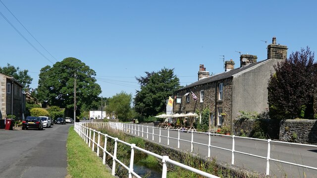
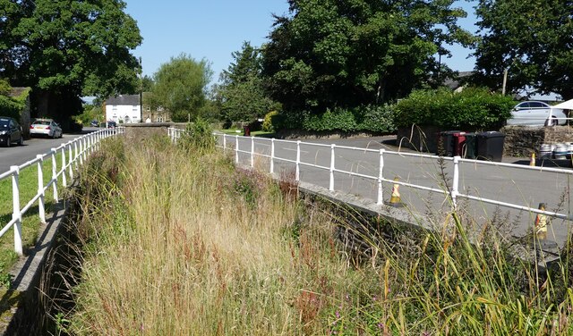
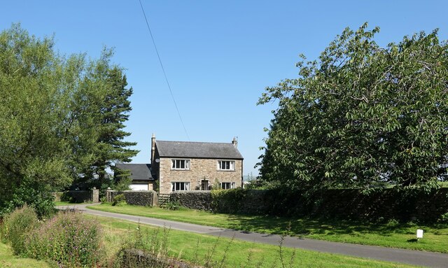
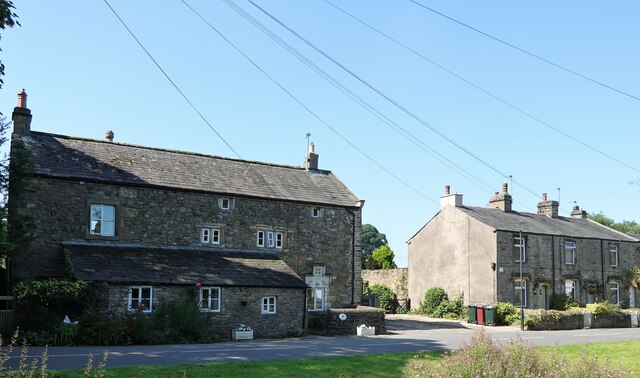
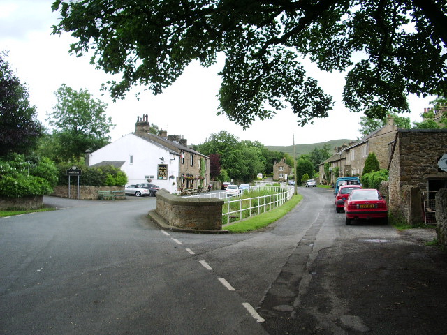
Brick Kiln Wood Images

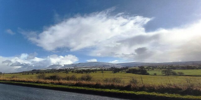
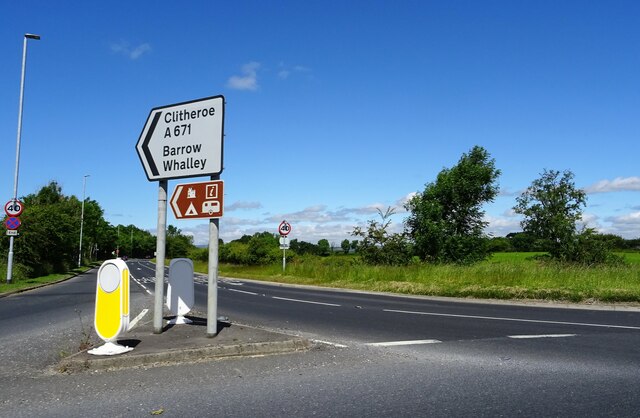
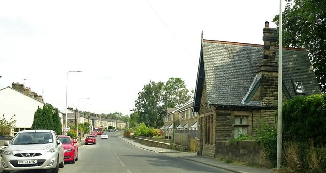
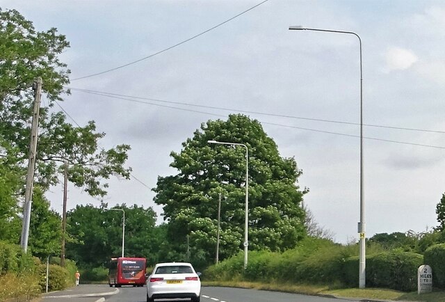
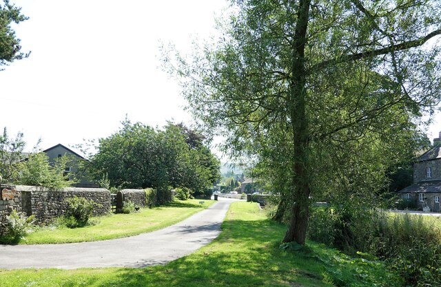
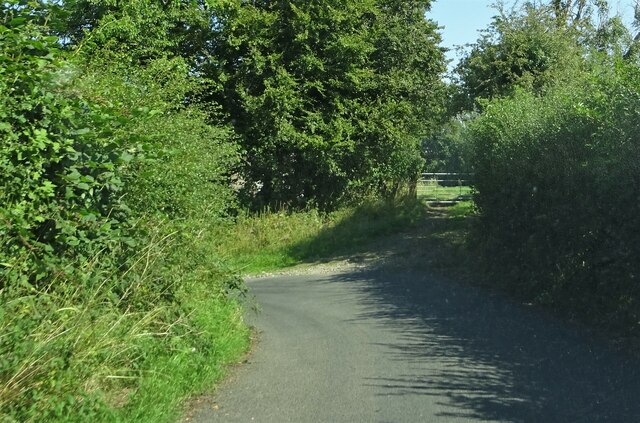
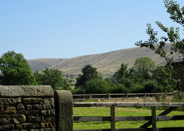
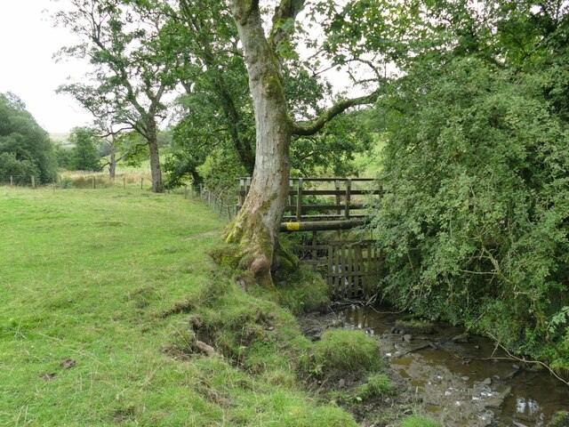
Images are sourced within 2km of 53.855713/-2.3916152 or Grid Reference SD7440. Thanks to Geograph Open Source API. All images are credited.

Fields near the A59
Fields near the A59
McDonald's on the Ribble Valley Enterprise Park near Clitheroe
Road Junction The junction of A59 and A671.
Road Junction
The junction of A59 and A671.
Whalley Road at Barrow
Whalley Road Two miles to Clitheroe.
Whalley Road
Two miles to Clitheroe.
The Swan With Two Necks A pub in Pendleton.
The Swan With Two Necks
A pub in Pendleton.
Overgrown watercourse Pendleton Brook runs through the village. At present the watercourse is much overgrown with weeds and grasses.
Overgrown watercourse
Pendleton Brook runs through the village. At present the watercourse is much overgrown with weeds and grasses.
Bracken Dene A house in Pendleton.
Bracken Dene
A house in Pendleton.
Bulcocks farmhouse A grade II listed building in Pendleton. A datestone suggests that it was built in  1693.
Bulcocks farmhouse
A grade II listed building in Pendleton. A datestone suggests that it was built in 1693.
Pendleton village The village was mentioned in the Domesday (Doomsday) Book with the name Peniltune.
Pendleton village
The village was mentioned in the Domesday (Doomsday) Book with the name Peniltune.
Outside Pendleton Pendleton Road veers sharply to the left on the approach to the village.
Outside Pendleton
Pendleton Road veers sharply to the left on the approach to the village.
Looking towards Pendle Hill From Pendleton village.
Looking towards Pendle Hill
From Pendleton village.
Footbridge over Pendleton Brook See also <a href="https://www.geograph.org.uk/photo/3326896">SD7639 : Footbridge over Swardean Clough</a>.
Footbridge over Pendleton Brook
Dickinson Farm, Pendleton An 18th century farm and barn at the eastern end of the village, Grade II listed (list entry 1362350).
Dickinson Farm, Pendleton
An 18th century farm and barn at the eastern end of the village, Grade II listed (list entry 1362350).
Former village school, Pendleton The stone inscription above the door says 'National School' and a date 188x (the last digit not quite readable).
Former village school, Pendleton
The stone inscription above the door says 'National School' and a date 188x (the last digit not quite readable).
All Saints, Pendleton - west end A 19th century village church, with its own parish but now in the united benefice of West Pendleside.
All Saints, Pendleton - west end
A 19th century village church, with its own parish but now in the united benefice of West Pendleside.
All Saints, Pendleton - south side A 19th century village church, with its own parish and churchyard but now in the united benefice of West Pendleside.
All Saints, Pendleton - south side
A 19th century village church, with its own parish and churchyard but now in the united benefice of West Pendleside.
All Saints, Pendleton - nave A simple church building with no side aisles.
All Saints, Pendleton - nave
A simple church building with no side aisles.
Show me another place!

Brick Kiln Wood is located at Grid Ref: SD7440 (Lat: 53.855713, Lng: -2.3916152)

Administrative County: Lancashire

District: Ribble Valley

Police Authority: Lancashire

What 3 Words

///animator.revealing.laser. Near Clitheroe, Lancashire

Related Wikis

Ribblesdale High School

Ribblesdale High School is a coeducational secondary school located in Clitheroe in the English county of Lancashire.It is a Community school administered...

Pendleton, Lancashire

Pendleton is a small village and civil parish in Ribble Valley, within the county of Lancashire, England. It is close to the towns of Whalley and Clitheroe...

Clitheroe Rural District

Clitheroe Rural District was a rural district in the county of Lancashire, England. It was created in 1894 and abolished in 1974 under the Local Government...

North West Sound Archive

The North West Sound Archive, founded in Manchester in 1979, was the largest archive of sound recordings in the UK outside of London, with over 140,000...

Nearby Amenities

Located within 500m of 53.855713,-2.3916152
Telephone
Booth: KX200
Covered: booth
Lat/Long: 53.8536037/-2.3971188
Bench
Lat/Long: 53.8535673/-2.39711
Post Box
Post Box Mounting: wooden_post
Post Box Type: lamp
Lat/Long: 53.8529348/-2.3969351
Bus Stop
Limehouse Farm
Naptan AtcoCode: 2500IMG2352
Naptan NaptanCode: langatja
Public Transport: platform
Lat/Long: 53.8533319/-2.3968931
Bus Stop
Limehouse Farm
Naptan AtcoCode: 2500IMG2351
Naptan NaptanCode: langatgw
Public Transport: platform
Lat/Long: 53.8536392/-2.3970882
Barrier: stile
Lat/Long: 53.8591316/-2.394548
Barrier: stile
Lat/Long: 53.8585933/-2.3922523
Barrier: kissing_gate
Lat/Long: 53.8572798/-2.3883055
Barrier: kissing_gate
Lat/Long: 53.8570298/-2.3883119
Barrier: kissing_gate
Lat/Long: 53.8585525/-2.3887092
Barrier: kissing_gate
Lat/Long: 53.8586345/-2.3887242
The data included in this document is from www.openstreetmap.org. The data is made available under ODbL.

Have you been to Brick Kiln Wood?

Leave your review of Brick Kiln Wood below (or comments, questions and feedback).